odp
297 results
-
Museum Bunker
Museum Bunker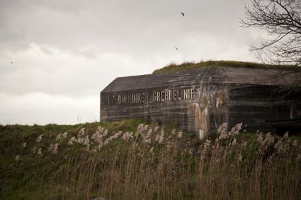
3831 RZ Leusden -
Mondriaan House
Mondriaan House
3811 KG Amersfoort -
Museum Flehite
Museum Flehite
3811 BC Amersfoort -
Waterline Museum Fort Vechten
Waterline Museum Fort Vechten
3981 HA Bunnik -
Fort bij Vechten
Fort bij Vechten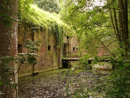
3981 HB Bunnik -
Kersenmuseum (cherry museum)
Kersenmuseum (cherry museum)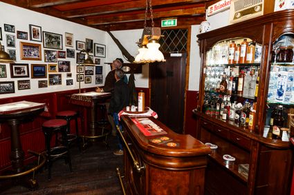
Groenewoudseweg 18
3945 BC Cothen -
Duurstede Castle
Duurstede Castle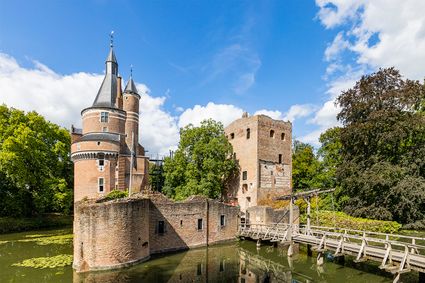
Langs de Wal 6
3961 AB Wijk bij Duurstede -
Fort Werk aan de Korte Uitweg
Fort Werk aan de Korte Uitweg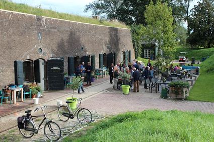
3999 WL Houten -
The Botanical Gardens
The Botanical Gardens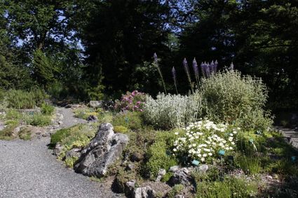
3584 CD Utrecht -
't Veerhuys
't Veerhuys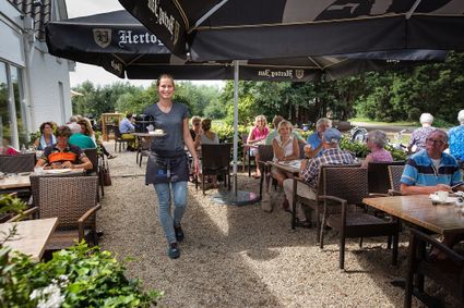
4112 PC Beusichem -
Boerderij -Landwinkel Nieuw Slagmaat
Boerderij -Landwinkel Nieuw Slagmaat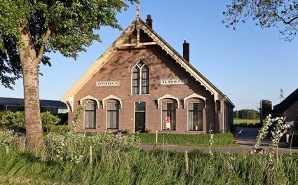
3981 HE Bunnik -
Rietveld Schröderhuis
Rietveld Schröderhuis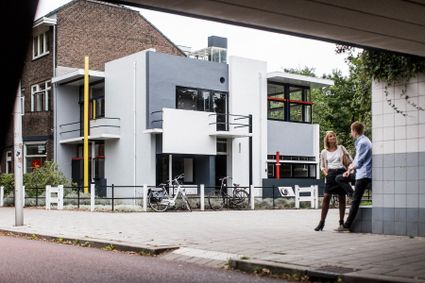
3512XC Utrecht -
Wineyard Hoog Beek & Royen
Wineyard Hoog Beek & Royen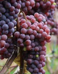
3708JA Zeist -
TOP Kersenpracht Cothen
TOP Kersenpracht Cothen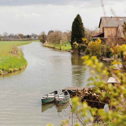
3945 PB Cothen -
Heidestein Estate
Heidestein Estate
3708 WN Zeist -
Fort Maarsseveen
Fort Maarsseveen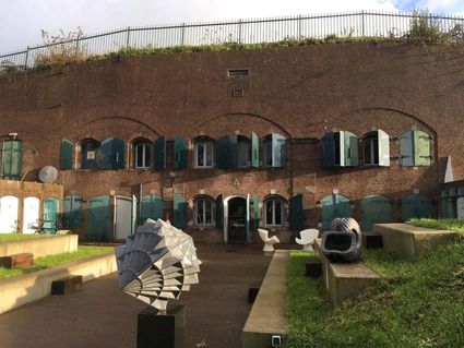
Herenweg 3
3602 AM Maarssen -
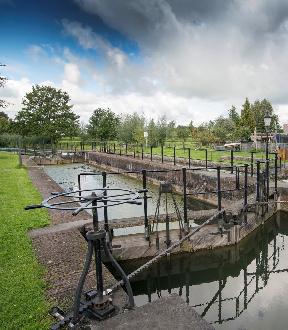
Lock at Cothen
Lock at CothenLock at Cothen
The water board uses the dam in the Kromme Rijn in Cothen to regulate the flow of water to and from Utrecht. The monumental lock alongside it (from 1865) was used during wartime to move ships past the dam. When the Waterline needed to be flooded, the commander of the inundation station at Wijk bij Duurstede first gave the order to raise the water level in the Kromme Rijn by closing off the lock with stop logs. Next, he ordered the stop logs to be removed so that a large body of water could flow from the open lock to Utrecht.
3945BN Cothen -
Fort bij Vechten - Waterline Museum
Fort bij Vechten - Waterline Museum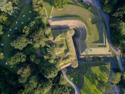
Achterdijk 2
Bunnik -
TOP citypark Oudegein
TOP citypark Oudegein
3432 NE Nieuwegein -
RAUM
RAUM
3541 CM Utrecht -
Muideslot
Muideslot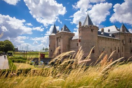
Herengracht 1
1398 AA Muiden -
De Kastanjeboom
De Kastanjeboom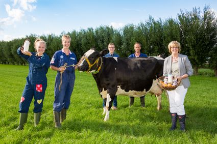
3751 LC Bunschoten -
Buiten in de Kuil - Lage Vuursche
Buiten in de Kuil - Lage Vuursche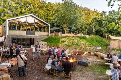
3749 AW Lage Vuursche -
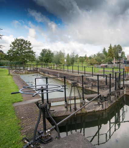
Blokhoven inundation area
Blokhoven inundation areaBlokhoven inundation area
The Blokhoven polder flood plain is situated behind the Achterdijk in Schalkwijk. During heavy rainfall, it can collect up to 23,000 m3 of water to prevent Schalkwijk from being flooded. This volume is equivalent to around 10 Olympic swimming pools. The area is at the heart of the New Dutch Waterline. In the summer, the plain is flooded twice a month to illustrate the inundation principle for visitors. If heavy or prolonged rainfall is forecast, the water board may decide to forego the inundation, as the plain will be needed to collect excess water.
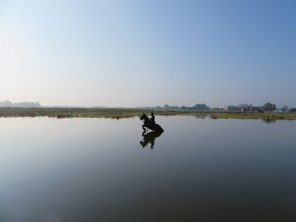
3998 NE Schalkwijk
- Current page1
- Go to page2
- Go to page3
- Go to page4
- Go to page5
- …
- Go to page13
- Go to the next page