odp
289 to 298 of 298 locations
-
Speelbos (forest playground) Nieuw Wulven
Speelbos (forest playground) Nieuw Wulven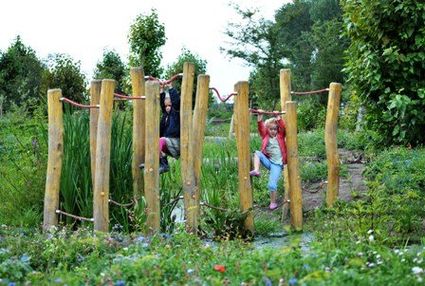
Binnenweg 26
3994 AN Houten -
Boundary posts
Boundary posts
In around 1875, the Ministry of War erected some 350 boundary posts along the length of the Kromme Rijn. The blue stone posts, marked with the letter O (for Oorlog, the Dutch word for war) and a number, marked the new route for transporting water to the New Dutch Waterline. The posts used to line up with plot boundaries. Many have been removed over the years, but the water board has returned 18 of them to their original location along the towpath between Werkhoven and Odijk following the construction of an environmentally friendly riverbank.
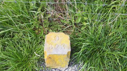
Odijk -
-
TOP Nationaal Tree museum Gimborn
TOP Nationaal Tree museum Gimborn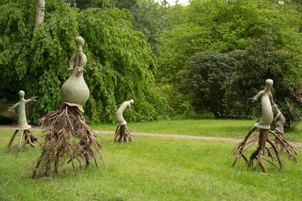
3941 BZ Doorn -
Goejanverwelle lock
Goejanverwelle lock
The Goejanverwelle lock and the Enkele Wiericke lock on the Hollandse Ijssel played a key role in the Disaster Year. Together with the lock at Nieuwerbrug on the Oude Rijn, they formed the inlet to the Langeweide polder, which was the narrowest section of the Waterline. The locks were opened on 17 June 1672 – just in time to halt the advance of the French, who had already captured Oudewater and marched right up to the edge of the hastily flooded Waterline. With great promptitude, the commander of the garrison at Goejanverwelle, the Count of Horn, gave the order to raise sconces and fortifications to defend the locks. For the moment, the Waterline was safe!
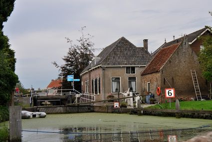
3467 PR Hekendorp -
-
TOP Pondskoekersluis
TOP Pondskoekersluis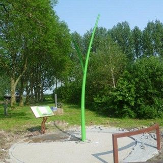
De Hoef Oostzijde 1
1426AD De Hoef -
TOP De Kuil van Drakensteyn
TOP De Kuil van Drakensteyn
3749 AW Lage Vuursche -
Gagelbos
Gagelbos
3566 MJ Utrecht -
City park Griftpark
City park Griftpark
3572 KC Utrecht -
Cavalry Museum
Cavalry Museum
3818 LN Amersfoort -
KAdE Art Centre
KAdE Art Centre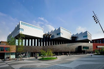
3812 EA Amersfoort


- Go to the previous page
- Go to page1
- …
- Go to page9
- Go to page10
- Go to page11
- Go to page12
- Current page13