odp
193 to 216 of 293 locations
-
National Military Museum
National Military Museum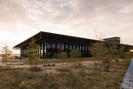
3768 MX Soest -
Bicycle Boat, stop NIeuwersluis
Bicycle Boat, stop NIeuwersluis
zandpad 23
3601NA Maarssen -
TOP citypark Oudegein
TOP citypark Oudegein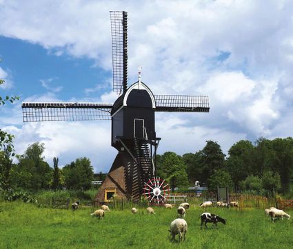
3432 NE Nieuwegein -
Huis Doorn
Huis Doorn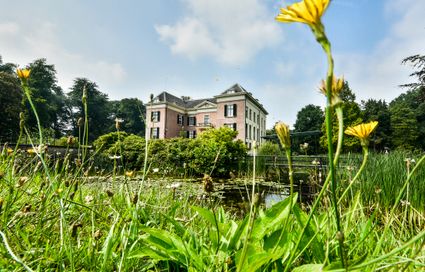
3941 MT Doorn -
Amersfoort Zoo
Amersfoort Zoo
3819 AC Amersfoort -
Fort Maarsseveen
Fort Maarsseveen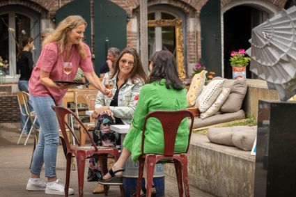
Herenweg 3
3602 AM Maarssen -
Fort Waver-Amstel
Fort Waver-Amstel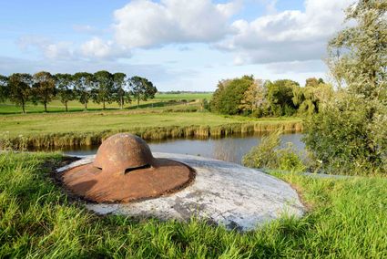
3646 AS Nessersluis -
Henschoter lake
Henschoter lake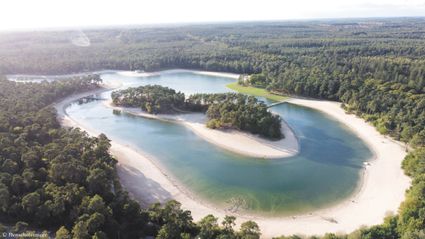
De Heygraeff 2
3931MK Woudenberg -
TOP Oortjespad
TOP Oortjespad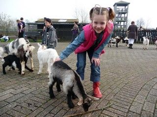
Oortjespad
3471HD Kamerik -
Ivn excursie Kwintelooyen
Ivn excursie Kwintelooyen
3911 TA Rhenen -
Fortress Nieuwersluis
Fortress Nieuwersluis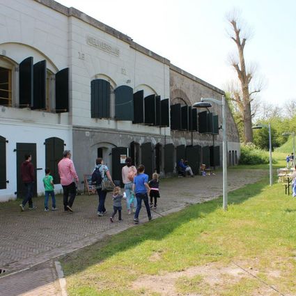
Rijksstraatweg 7B
3631 AA Nieuwersluis -
Landgoed Bredius
Landgoed Bredius
3443 BG Woerden -
Sterkenburg Castle
Sterkenburg Castle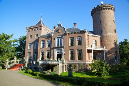
3972 ND Driebergen-Rijsenburg -
TOP 't Hooge Erf
TOP 't Hooge Erf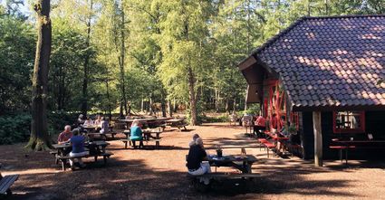
3749 AB Lage Vuursche -
Bicycle Boat, Maarssen
Bicycle Boat, Maarssen
Zandweg 44 (tegenover nr. 44)
3601AE Maarssen -
Boundary posts
Boundary posts
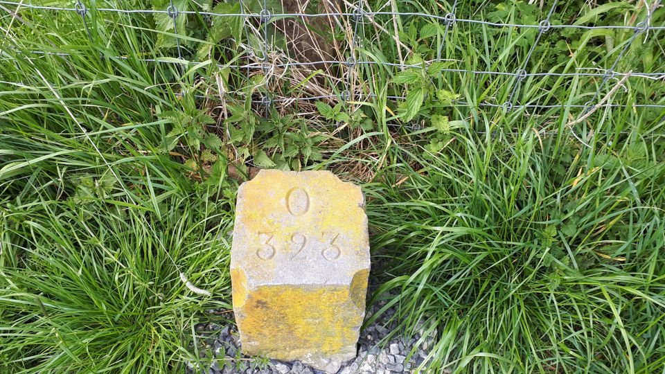
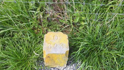
In around 1875, the Ministry of War erected some 350 boundary posts along the length of the Kromme Rijn. The blue stone posts, marked with the letter O (for Oorlog, the Dutch word for war) and a number, marked the new route for transporting water to the New Dutch Waterline. The posts used to line up with plot boundaries. Many have been removed over the years, but the water board has returned 18 of them to their original location along the towpath between Werkhoven and Odijk following the construction of an environmentally friendly riverbank.
Odijk -
-
Fort de Batterijen
Fort de Batterijen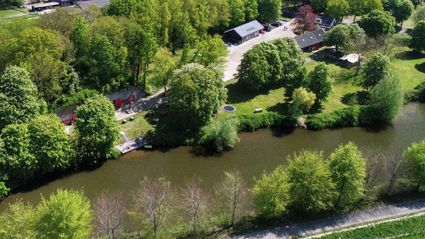
Overeindseweg 25
3439LP Nieuwegein -
Bike boat Loosdrecht
Bike boat Loosdrecht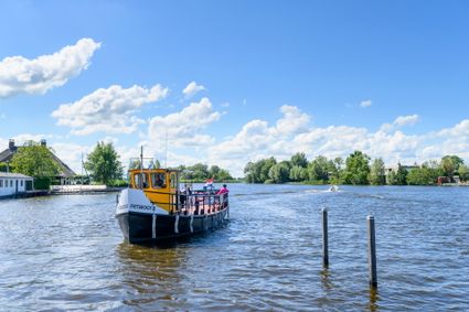
Oud-Loosdrechtsedijk
1231 LW Loosdrecht -
TOP Kersenpracht Cothen
TOP Kersenpracht Cothen
Graaf van Lynden van Sandenburgweg 2
3945 PB Cothen -
Utrecht Tourist Information 'Winkel van Utrecht'
Utrecht Tourist Information 'Winkel van Utrecht'
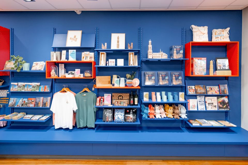
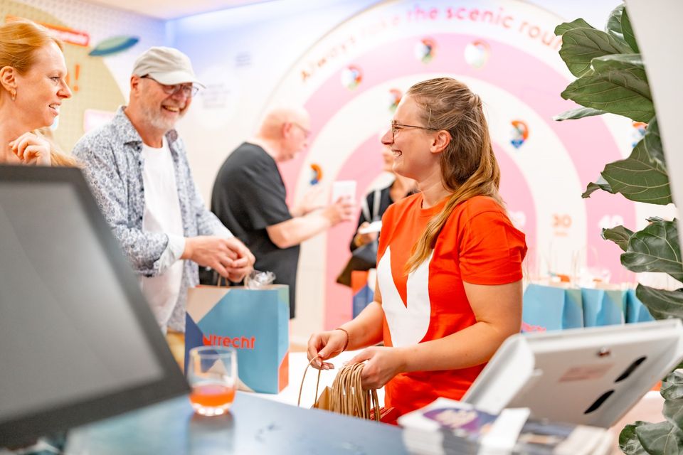
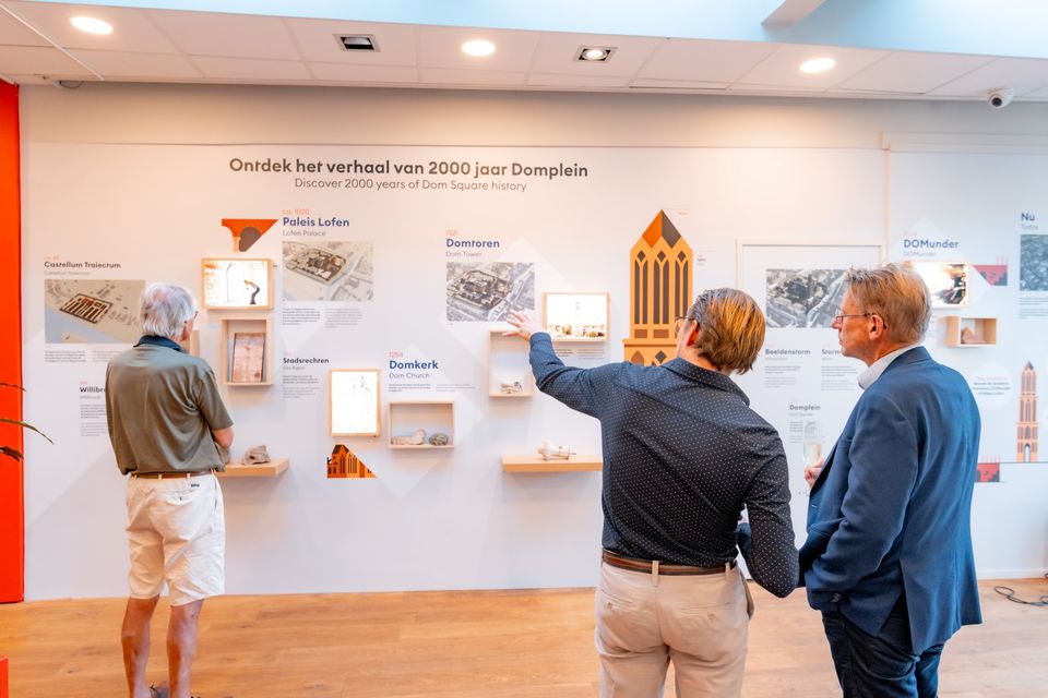
Located at the foot of the Dom Tower you will find the Utrecht Tourist Information Centre (VVV Utrecht). Make the most of your time in Utrecht by planning your trip with help from experts! Whether you’re searching for the best accommodation, exciting excursions in Utrecht or the region, the dedicated staff of VVV Utrecht can help you with a wonderful stay. They can also help you to book tickets, toursand information about public transport in and around Utrecht.
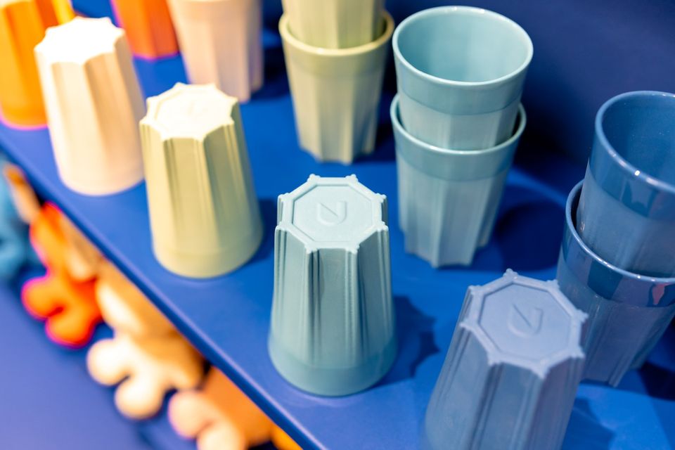
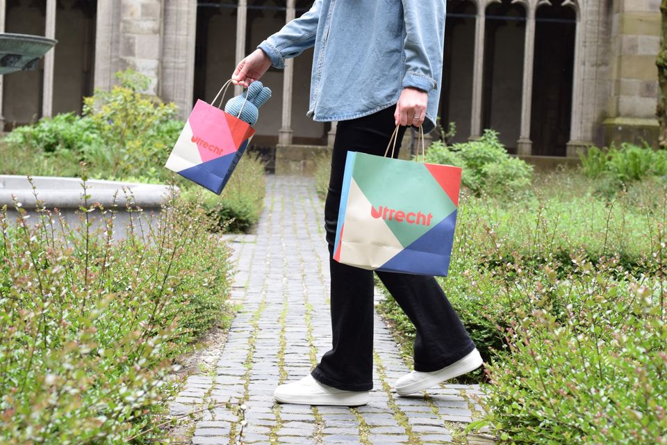
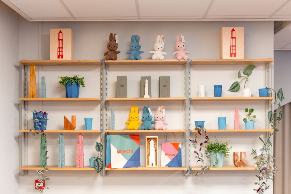
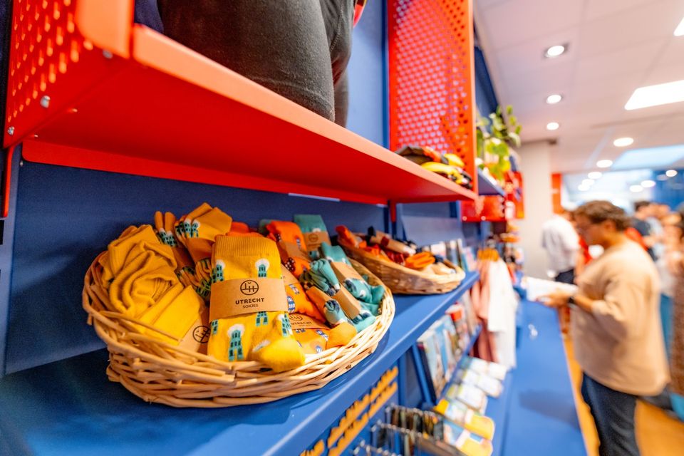
The Tourist Information Office is also the ultimate souvenir shop in Utrecht, with Holland souvenirs, typical Utrecht products and the largest selection of Miffy gifts in a special Miffy house available!
Go to the VVV Utrecht Information Centre for:
- Tourist information
- Dom Tower climbs
- Souvenirs
- Hotel bookings
- Gift vouchers
- Bicycle hire
- Walks and bicycle tours
- Guided tours
The information centre has free wireless Internet.
Public holidays:
Regular opening hours apply during public holidays, with the exception of Kings Day (27 April) during which the information centre will be closed.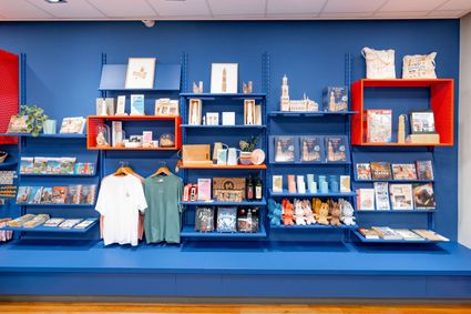
Domplein 9
3512JC Utrecht -
-
TOP Leerdam
TOP Leerdam
Lingedijk 8
4142 LD Leerdam -
TOP Bergse Bossen
TOP Bergse Bossen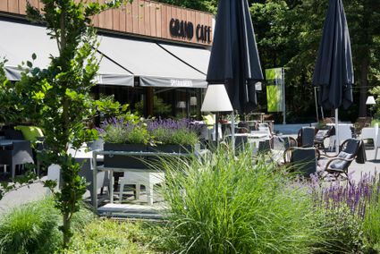
Traaij 299
3971 GM Driebergen -
Dutch Water Defence Lines
Dutch Water Defence Lines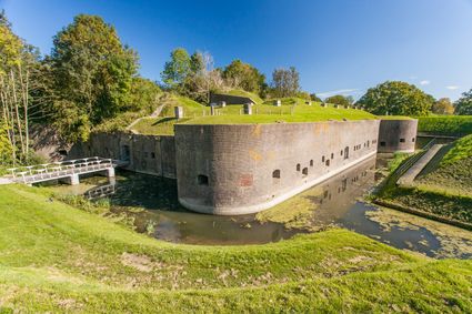
De Hollandse Waterlinies
Utrecht -
Grebbe Line Visitor's Centre
Grebbe Line Visitor's Centre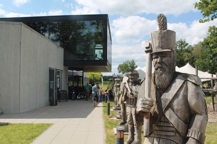
Buursteeg 2
3927EJ Renswoude