odp
25 to 48 of 302 locations
-
Papal house
Papal house
3512 HE Utrecht -
Museum Vredegoed
Museum Vredegoed
3612 BA Tienhoven -
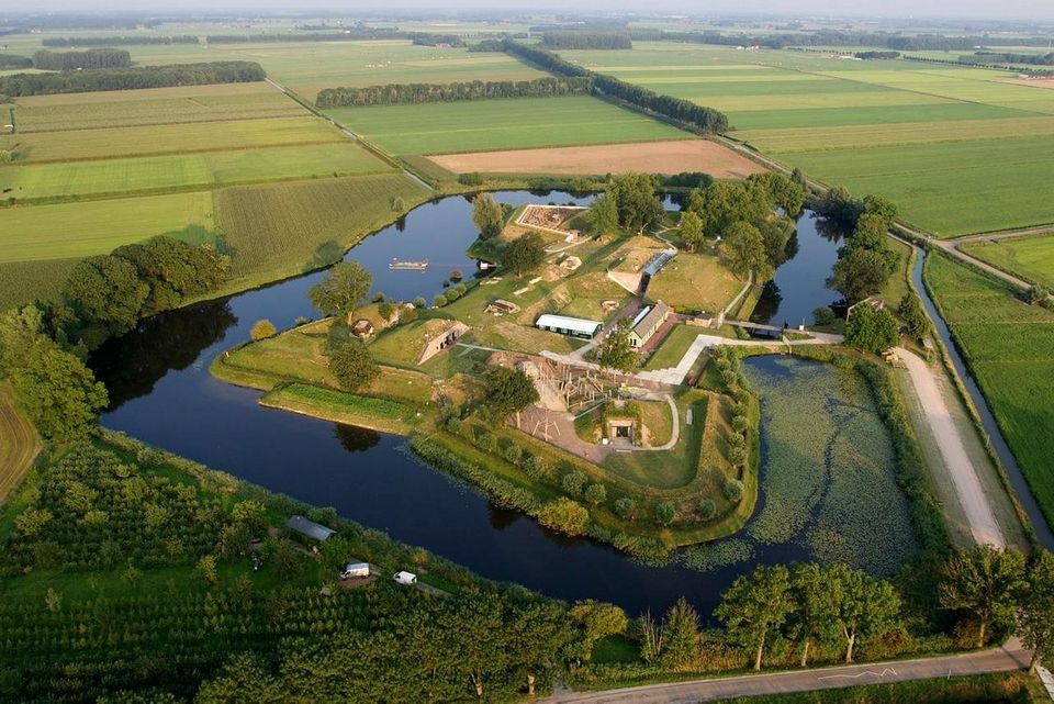
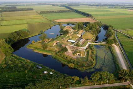
Geofort
Geofort
Explore the exciting old fort island at GeoFort. Plenty of experiments await both inside and outside: wander the dark subterranean tunnels, make your way through the maze or use the lift to descend 6,000 kilometres into the earth. Use the maps to find your way around the virtual Minecraft world or visit the virtual sandpit, where you can make a volcano erupt! Feel like having a break? Our pancake restaurant, De WereldPan, has an extensive food and drinks menu.
Geo
Nieuwe Steeg 74
4171 KG Herwijnen -
-
Molen de Ster
Molen de Ster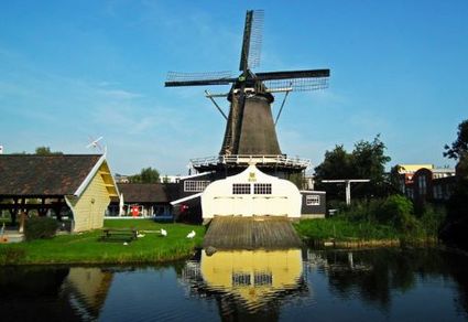
-
TOP Fort at the Buursteeg
TOP Fort at the Buursteeg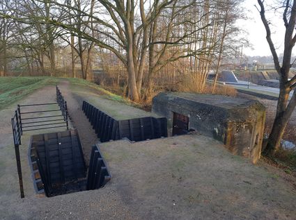
3927EJ Renswoude -
National Military Museum
National Military Museum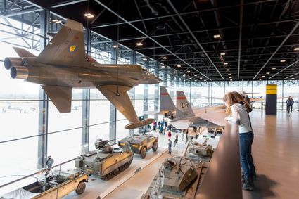
Verlengde Paltzerweg 1
3768 MX Soest -
TOP Groeneveld Castle
TOP Groeneveld Castle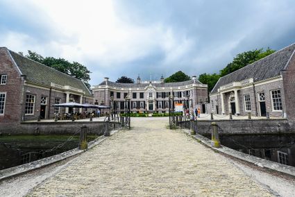
3744 ML Baarn -
Fort Nieuwersluis
Fort Nieuwersluis
3631 AA Nieuwersluis -
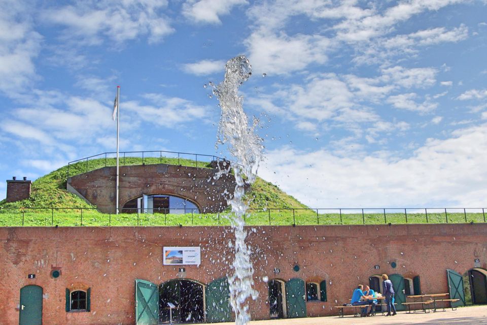
Fort Lunet aan de Snel
Fort Lunet aan de Snel
Somewhat hidden in the woods along Gedekte Gemeenschapsweg between Fort Honswijk and Werk aan de Korte Uitweg is the small but atmospheric Lunet aan de Snel. The earthen rampart allowed defenders to repel an attack on Fort Honswijk from the north-east. In addition, its guns covered parts of the Lekdijk – something that could not be achieved from Fort Honswijk.
These days, the fort houses an exhibition that illustrates the key role that water plays in our community and its unique properties.

3998 NJ Schalkwijk -
-
TOP Nationaal Tree museum Gimborn
TOP Nationaal Tree museum Gimborn
3941 BZ Doorn -
Allurepark De Zeven Linden
Allurepark De Zeven Linden
3744 BC Baarn -
Fort Blauwkapel
Fort Blauwkapel
3566 MK Utrecht -
Vianen Castle “Op de Bol”
Vianen Castle “Op de Bol”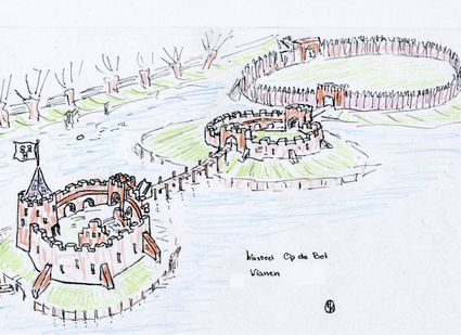
't wed 2
4132 CC Vianen -
Delicacies from Zeist
Delicacies from Zeist
3701 Zeist -
Cunera Hill
Cunera Hill
3911 AC Rhenen -
Windmill Windhond
Windmill Windhond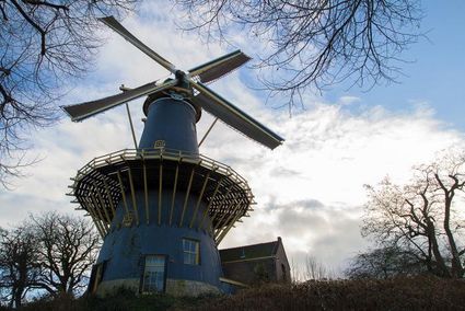
3447 GR Woerden -
De Kastanjeboom
De Kastanjeboom
3751 LC Bunschoten -
Nyenrode Business University
Nyenrode Business University
3620 AC Breukelen -
TOP City harbour Wijk bij Duurstede
TOP City harbour Wijk bij Duurstede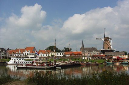
Havenweg
3961 AW Wijk bij Duurstede -
Fort Nieuwersluis
Fort Nieuwersluis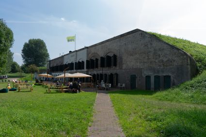
Rijksstraatweg 7b
3631 AA Nieuwersluis -
Veenendaal Museum
Veenendaal Museum
3901 TP Veenendaal -
Castellum Hoge Woerd
Castellum Hoge Woerd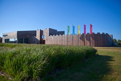
3454 PB De Meern -
Volmolen
Volmolen
Plantsoen Noord 2
3811 GH Amersfoort -
De Vriendschap windmill
De Vriendschap windmill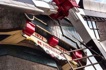
Nieuweweg 109
3905 LJ Veenendaal