odp
121 to 144 of 296 locations
-
The Windotter windmill
The Windotter windmill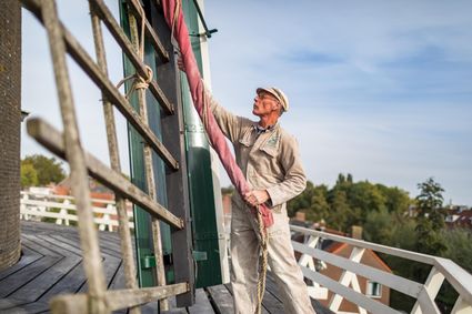
3401 DR IJsselstein -
Amersfoort Zoo
Amersfoort Zoo
3819 AC Amersfoort -
Fort Abcoude
Fort Abcoude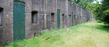
1391 CG Abcoude -
Logis Hotel Het Wapen van Harmelen
Logis Hotel Het Wapen van Harmelen
3481 EK Harmelen -
Cheese Warehouse | Cheese Experience
Cheese Warehouse | Cheese Experience
Emmakade 6A
3441 AJ Woerden -
UIT in IJsselstein I Tourist Info
UIT in IJsselstein I Tourist Info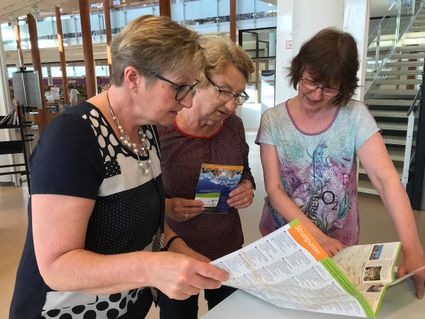
Walkade 2-4
3401 DS IJsselstein -
The Green House
The Green House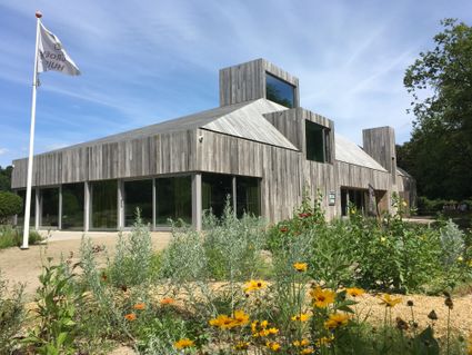
3822 NA Amersfoort -
De Paltz Estate
De Paltz Estate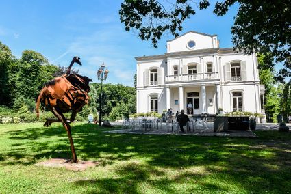
3768 MZ Soest -
TOP Fort at the Buursteeg
TOP Fort at the Buursteeg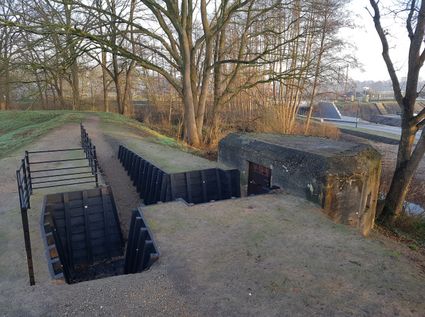
3927EJ Renswoude -
Lunchrestaurant Het Broodlokaal
Lunchrestaurant Het Broodlokaal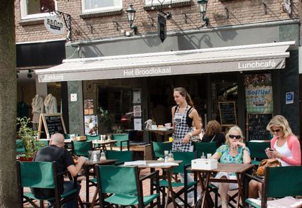
Slotlaan 247
3701 GG ZEIST -
Fort de Gagel
Fort de Gagel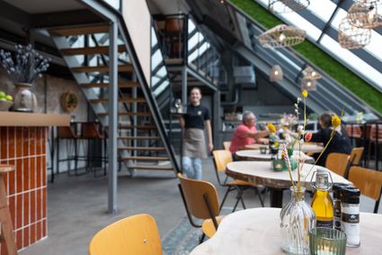
3566 MJ Utrecht -
Kerckebosch Castle****
Kerckebosch Castle****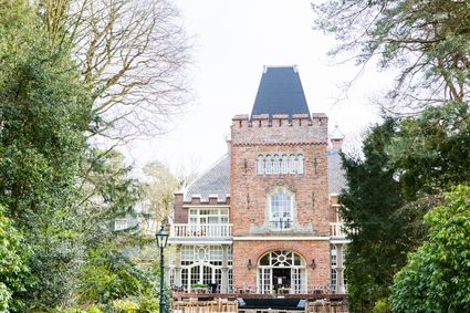
3708 AA Zeist -
The Waterloo Needle
The Waterloo Needle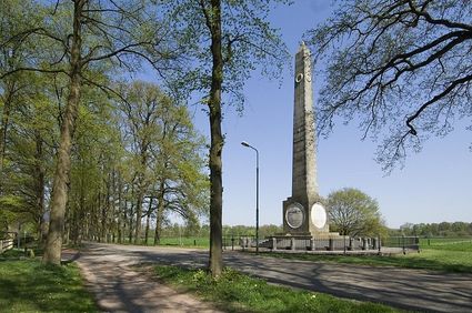
3742 CR Baarn -
TOP Leerdam
TOP Leerdam
Lingedijk 8
4142 LD Leerdam -
Fort Everdingen
Fort Everdingen
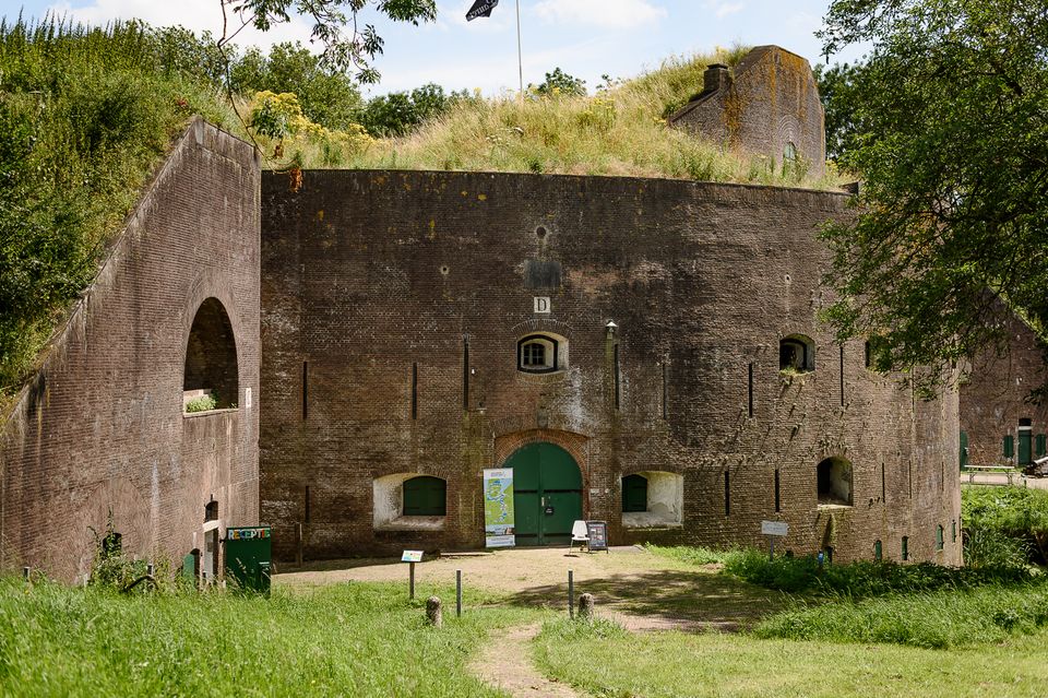
Anyone who delves into the history of the Vijfheerenlanden will soon discover that the now very quiet and peaceful area has a history filled with clashing weapons. Destroyed towns and castles, plundering and domestic (and foreign) wars: every town and village has its own story to tell. Everdingen was put on the Dutch military map in the 19th Century as part of the New Dutch Water Line.
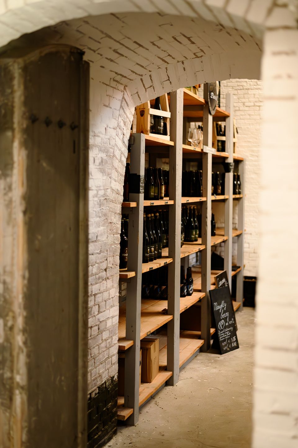
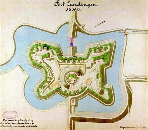
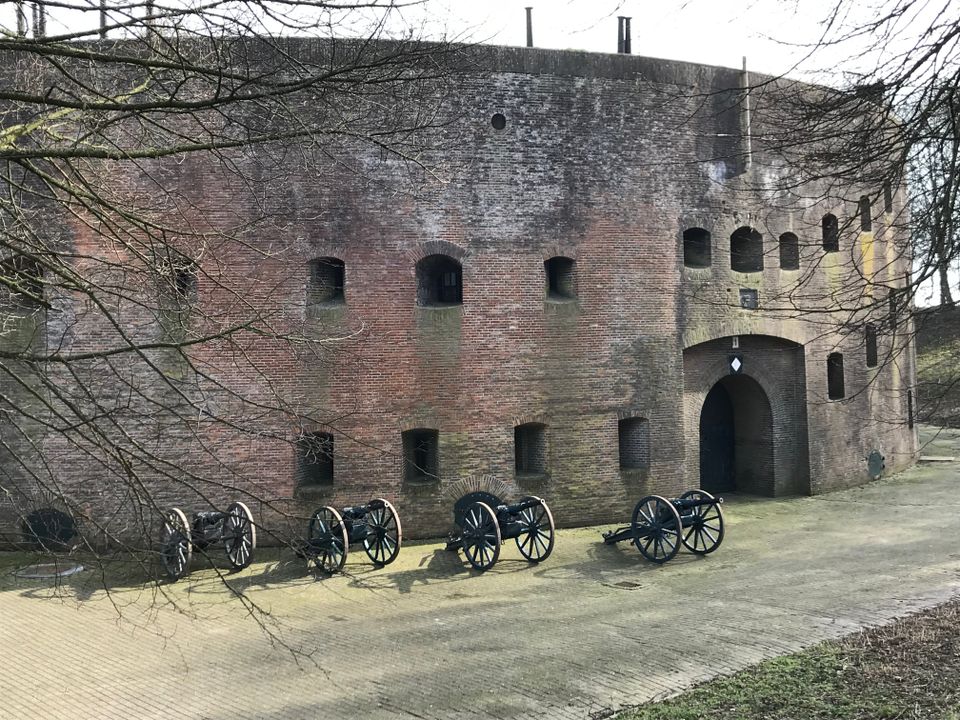
The New Dutch Water Line ran from the former Zuiderzee near Muiden to the Biesbosch near Werkendam and consisted of a variety of defences and inundation fields (areas that could be placed underwater). Fort Everdingen was built between 1842 and 1847 and, together with Fort Honswijk, formed the Lek access on the other side of the Lek. The surrounding land could be flooded using inundation locks. The fort itself was walled and well defended by a variety of casemates. The new Dutch Water Line was prepared 3 times. At the end of World War II, German forces used the line as a defence against the advancing Allies. Fort Everdingen lost its defensive function after the war. The military Explosive Ordinance Disposal service used the fort until 2014. It’s now home to the German & Lauret brewery, which uses the special water filtering system in their brewery. It’s also an over-wintering place for many bats.
Further reading: Batestein Castle, Hagestein Castle, Vianen Castle, Brederode statue, Everdingen village centre, Vianen water tower.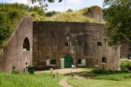
4121 KK Everdingen -
-
Fort Honswijk
Fort Honswijk
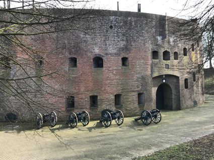
Fort Honswijk, situated on the Lek River, is one of the most prominent forts of the New Dutch Waterline. Fort Honswijk's tower (built between 1841 and 1848) is the oldest and largest in the Waterlinie and possesses singular architectural beauty. Fort Honswijk was designed to stop the enemy from crossing the Lekdijk dike and to close off the Lek River in cooperation with Fort Everdingen on the opposite banks of the Lek.
3998 NJ Schalkwijk -
-
VVV agentschap Breukelen
VVV agentschap Breukelen
Herenstraat 4
3621 AR Breukelen -
Ouwehands Zoo Rhenen
Ouwehands Zoo Rhenen
Grebbeweg 111
3911 AV Rhenen -
Fort Vreeswijk
Fort Vreeswijk
3433 ZZ Nieuwegein -
TOP De Dennen
TOP De Dennen
3927AW Renswoude -
Museum Spakenburg
Museum Spakenburg
3752 AH Bunschoten-Spakenburg -
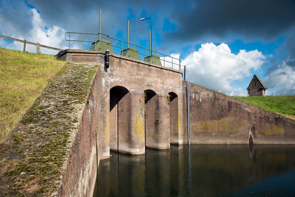
Inundation lock at Wijk bij Duurstede
Inundation lock at Wijk bij Duurstede
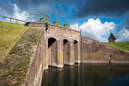
In 1870, the Kromme Rijn was given a key role in the New Dutch Waterline. Back then, it took almost a month to flood the area around Utrecht. This had to be speeded up. To this end, the river was widened, its bends were straightened and locks and dams were built. Near Wijk bij Duurstede, a large inundation lock was built that made Wijk bij Duurstede the ‘tap’ with which to turn on the New Dutch Waterline. This reduced the time needed to flood the inundation areas to between 4 and 12 days. The inlet is still used daily to transport fresh water to the city of Utrecht and the river Vecht.
3961CH Wijk bij Duurstede -
-
Gagelbos
Gagelbos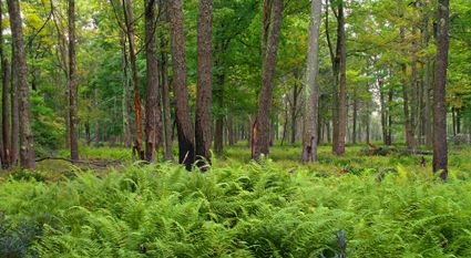
3566 MJ Utrecht -
Wilhelmina city park
Wilhelmina city park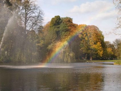
3581 NP Utrecht