odp
25 to 48 of 295 locations
-
Veenendaal Museum
Veenendaal Museum
3901 TP Veenendaal -
Blokhoven inundation area
Blokhoven inundation area
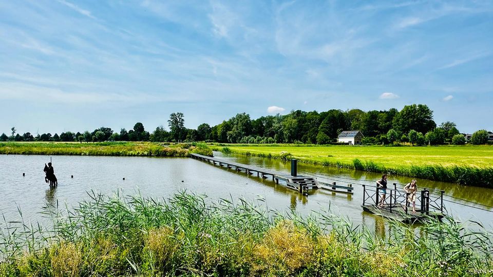
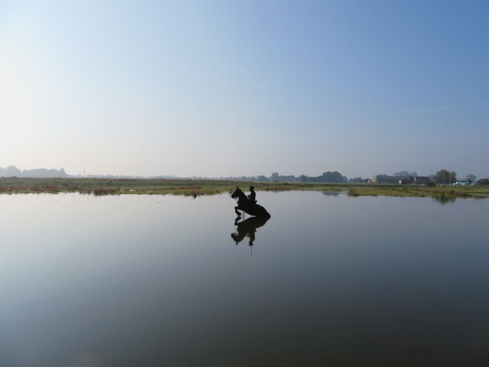
The Blokhoven polder flood plain is situated behind the Achterdijk in Schalkwijk. During heavy rainfall, it can collect up to 23,000 m3 of water to prevent Schalkwijk from being flooded. This volume is equivalent to around 10 Olympic swimming pools. The area is at the heart of the New Dutch Waterline. In the summer, the plain is flooded twice a month to illustrate the inundation principle for visitors. If heavy or prolonged rainfall is forecast, the water board may decide to forego the inundation, as the plain will be needed to collect excess water.
3998 NE Schalkwijk -
-
TOP Fort at the Buursteeg
TOP Fort at the Buursteeg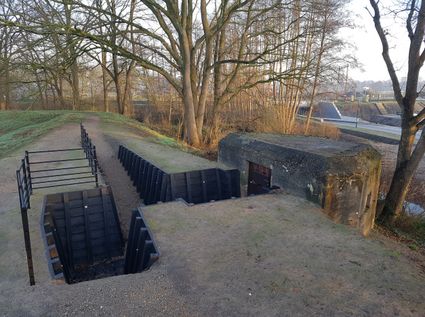
3927EJ Renswoude -
TOP Winkelpolder, Vinkeveen
TOP Winkelpolder, Vinkeveen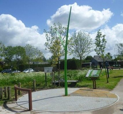
3645AP Vinkeveen -
The Great Church of Wijk bij Duurstede
The Great Church of Wijk bij Duurstede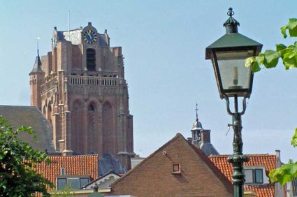
3961 BC Wijk bij Duurstede -
Grebbe Line Visitor's Centre
Grebbe Line Visitor's Centre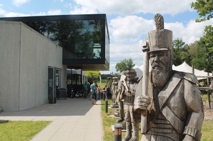
Buursteeg 2
3927EJ Renswoude -
Geofort
Geofort
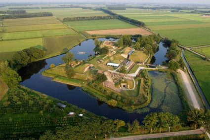
Explore the exciting old fort island at GeoFort. Plenty of experiments await both inside and outside: wander the dark subterranean tunnels, make your way through the maze or use the lift to descend 6,000 kilometres into the earth. Use the maps to find your way around the virtual Minecraft world or visit the virtual sandpit, where you can make a volcano erupt! Feel like having a break? Our pancake restaurant, De WereldPan, has an extensive food and drinks menu.
Geo
Nieuwe Steeg 74
4171 KG Herwijnen -
-
TOP Beauforthuis
TOP Beauforthuis
3711 AB Austerlitz -
Highland West Coelhorst
Highland West Coelhorst
3828 PC Hoogland -
Mouse Towers | Leerdam
Mouse Towers | Leerdam
4141 BE Leerdam -
TOP Laagraven
TOP Laagraven
3439 ZZ Nieuwegein -
Glass studio
Glass studio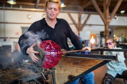
Zuidwal
4141 BE Leerdam -
Castle Groeneveld
Castle Groeneveld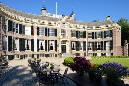
Groeneveld 2
3744 ML Baarn -
TOP Pondskoekersluis
TOP Pondskoekersluis
De Hoef Oostzijde 1
1426AD De Hoef -
Ledig Erf
Ledig Erf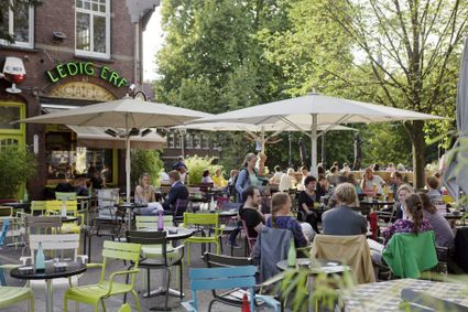
Tolsteegbrug 3
3511 ZN Utrecht -
Fort Maarsseveen
Fort Maarsseveen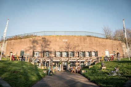
3602 AM Maarssen -
Museum Castle Amerongen
Museum Castle Amerongen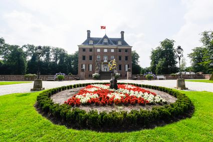
Drostestraat 20
3958 BK Amerongen -
Soesterduinen Sand Dunes
Soesterduinen Sand Dunes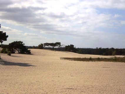
3786 MD Soest -
Windmill Ter Leede
Windmill Ter Leede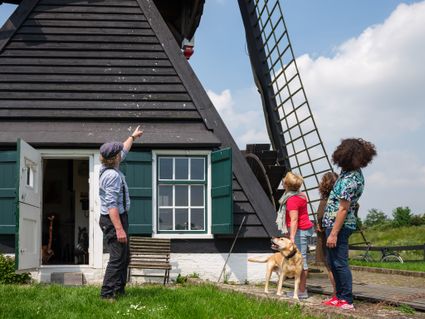
Provinciale weg 2
4142 LD Leerdam -
Café-Restaurant De Lage Vuursche
Café-Restaurant De Lage Vuursche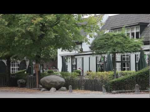
3749 AD Lage Vuursche -
National Glass Museum & Glass studio
National Glass Museum & Glass studio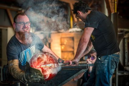
4142 LD Leerdam -
Restaurant La Montagne
Restaurant La Montagne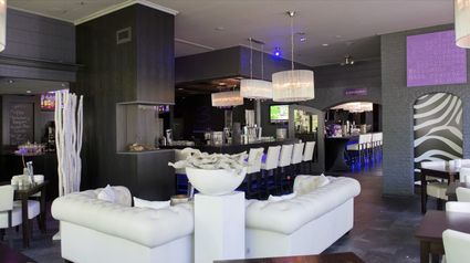
3911 SC Rhenen -
Prattenburg Estate
Prattenburg Estate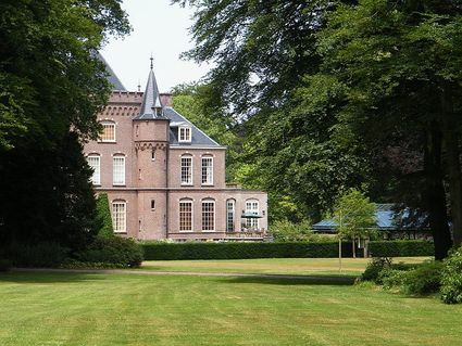
3911 RW Rhenen -
Landgoed Bredius
Landgoed Bredius
3443 BG Woerden