odp
193 to 216 of 295 locations
-
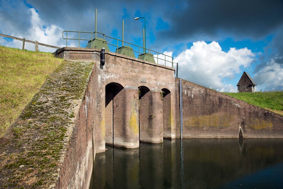
Inundation lock at Wijk bij Duurstede
Inundation lock at Wijk bij Duurstede
In 1870, the Kromme Rijn was given a key role in the New Dutch Waterline. Back then, it took almost a month to flood the area around Utrecht. This had to be speeded up. To this end, the river was widened, its bends were straightened and locks and dams were built. Near Wijk bij Duurstede, a large inundation lock was built that made Wijk bij Duurstede the ‘tap’ with which to turn on the New Dutch Waterline. This reduced the time needed to flood the inundation areas to between 4 and 12 days. The inlet is still used daily to transport fresh water to the city of Utrecht and the river Vecht.
3961CH Wijk bij Duurstede -
-
Teahouse Mon-Chouette
Teahouse Mon-Chouette
3831 JZ Leusden -
Windmill Windhond
Windmill Windhond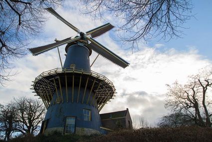
3447 GR Woerden -
Grebbe Line Visitor's Centre
Grebbe Line Visitor's Centre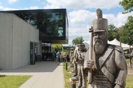
Buursteeg 2
3927EJ Renswoude -
Fortresses of the four Lunetten
Fortresses of the four Lunetten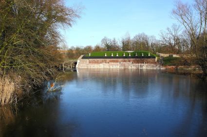
3524 SB Utrecht -
Rijnauwen Fort
Rijnauwen Fort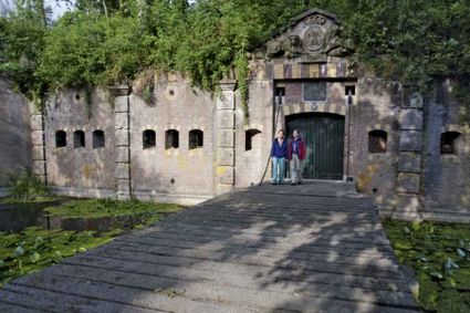
3981 HS Bunnik -
Fort Nieuwersluis
Fort Nieuwersluis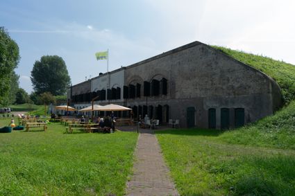
Rijksstraatweg 7b
3631 AA Nieuwersluis -
TOP De Linielanding
TOP De Linielanding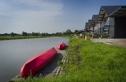
3433 NV Nieuwegein -
Fort Vreeswijk
Fort Vreeswijk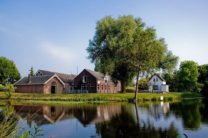
3433 ZZ Nieuwegein -
Beauforthuis
Beauforthuis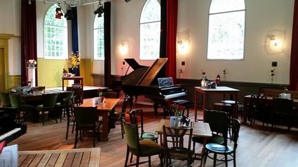
3711 AB Austerlitz -
TOP Schloss Soestdijk
TOP Schloss Soestdijk
3744 AA Baarn -
UIT in IJsselstein I Tourist Info
UIT in IJsselstein I Tourist Info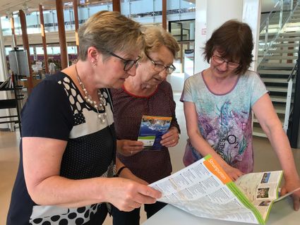
Walkade 2-4
3401 DS IJsselstein -
De Kastanjeboom
De Kastanjeboom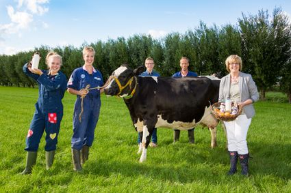
3751 LC Bunschoten -
De Wildenburg pancake farm
De Wildenburg pancake farm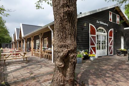
3744 MK Baarn -
Camping De Grebbelinie
Camping De Grebbelinie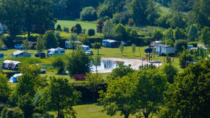
3927 CJ Renswoude -
Pausdam
Pausdam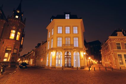
3512 HN Utrecht -
Diefdijk
Diefdijk
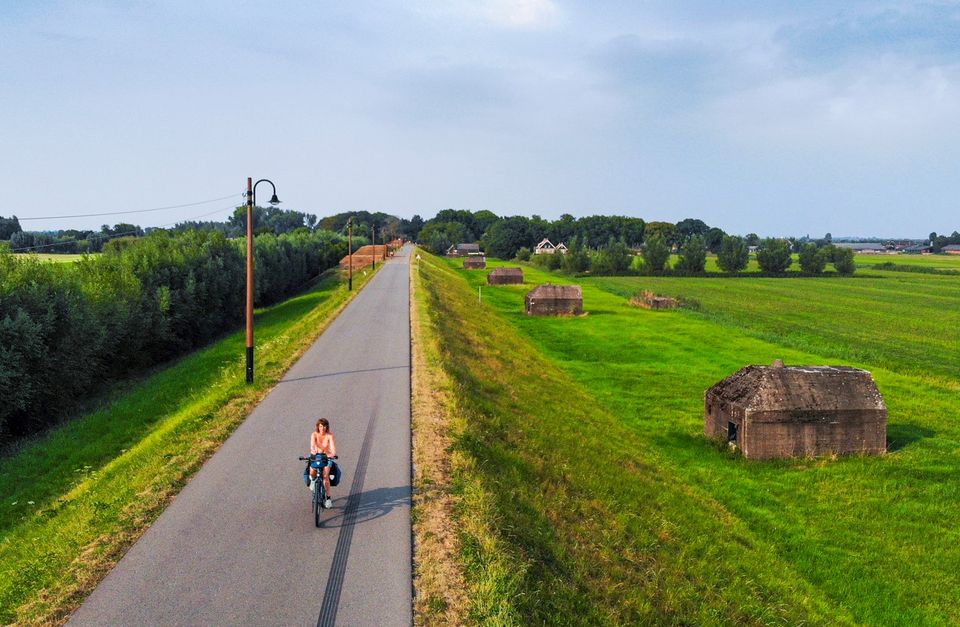
This centuries-old long dyke marks the border between the Betuwe to the east and the lowlands to the west. The purpose of the Diefdijk was to protect the lower-lying meadows whenever the higher Betuwe flooded. The dyke was reinforced in 2015 and still serves its purpose today. It was also part of the New Dutch Waterline: the area to the east of the dyke served as an inundation area. To this day, this area remains scarcely built up. Nature reserves of various sizes border the dyke on either side.

Diefdijk
4143 MG Leerdam -
-
Sawmill De Ster
Sawmill De Ster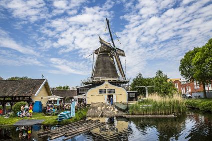
3531 ET Utrecht -
Eethuys-Café De Generaal - Baarn
Eethuys-Café De Generaal - Baarn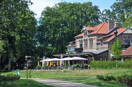
3743 JL Baarn -
De Paltz Estate
De Paltz Estate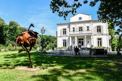
3768 MZ Soest -
Eemlandhoeve
Eemlandhoeve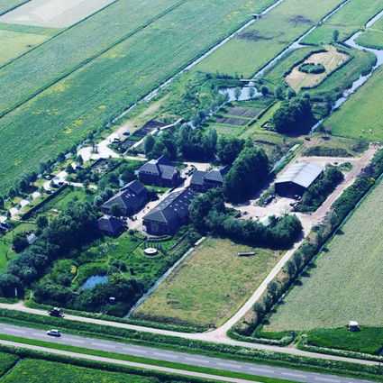
3752 LK Bunschoten-Spakenburg -
Fort aan de Klop
Fort aan de Klop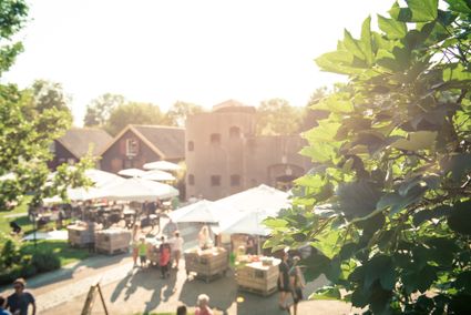
3563 MC Utrecht -
Museum Hoge Woerd
Museum Hoge Woerd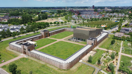
Hoge Woerdplein 1
3454 PB De Meern -
TOP Oortjespad
TOP Oortjespad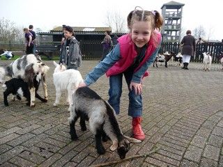
Oortjespad
3471HD Kamerik