odp
97 to 120 of 301 locations
-
TOP Zeist Castle
TOP Zeist Castle
3703 CE Zeist -
De Vriendschap windmill
De Vriendschap windmill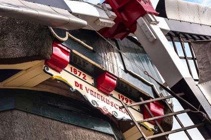
Nieuweweg 109
3905 LJ Veenendaal -
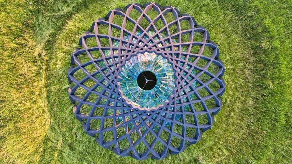
Fort Asperen
Fort Asperen
This magnificent tower fort, built between 1845 and 1847, is surrounded by a moat for extra protection. Fort Asperen last saw active use on 12 April 1940, as part of preparations for the coming war. However, the Germans flew straight past it. Fort Asperen, which is an artwork in and of itself, is open to visitors in the summer months. The domed roof to keep out the rain, for instance, is made entirely of glass slates designed in the Glassworks at the National Glass Museum.
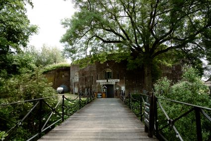
Langendijk 60
4145BR Acquoy -
-
Amersfoort Zoo
Amersfoort Zoo
3819 AC Amersfoort -
Landgoed Zuylestein
Landgoed Zuylestein
3956 CH Leersum -
National Glass Museum & Glass studio
National Glass Museum & Glass studio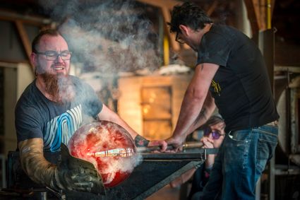
4142 LD Leerdam -
Wineyard Hoog Beek & Royen
Wineyard Hoog Beek & Royen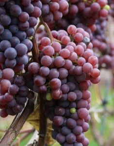
3708JA Zeist -
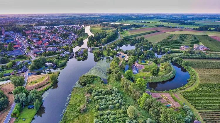
Breukelen
Breukelen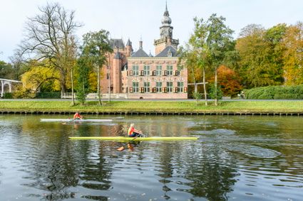
-
Parc Broekhuizen
Parc Broekhuizen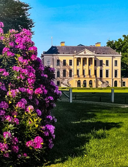
3956 NS Leersum -
Centraal Museum
Centraal Museum
The Centraal Museum is your gateway to art and culture from the world of Utrecht. From Rietveld to the Utrecht Caravaggists, from Dick Bruna to Moesman and from Viktor & Rolf to the centuries-old Utrecht ship. A museum which leaves you inspired time after time. The museum has been housed in this medieval cloister on the Nicolaaskerkhof since 1921 and currently consists of an eclectic collection of buildings with a large courtyard at their centre. It’s a lovely place to wander through hallways and stairwells, and where you can be surprised by the various exhibitions.
Collection
The museum has the largest collection of Rietveld pieces in the world, and shows the work of the world-famous Dick Bruna. The collection of old art is also worthwhile with work from Jan van Scorel, Abraham Bloemaert and Hendrick ten Brugghen. Besides the work of those Dutch icons, the Centraal Museum provides a broad overview of 2.000 years turbulent history, is also the ‘present’ a central theme with current fashion, design and visual art are high on the agenda.Studio Dick Bruna
A special part of the Central Museum is the studio of Dick Bruna, one of the Netherlands’ most famous illustrators and graphic designers. For the last 30 years of his career, he worked at his studio in the centre of Utrecht daily. This was where he created his illustrations and stories, surrounded by personal memories, photos of memorable encounters, gifts from fans and letters from fellow artists.Online tickets
Skip the queue and order your tickets online. You will receive your ticket by email and showing it on your smartphone at the entrance of the museum is sufficient.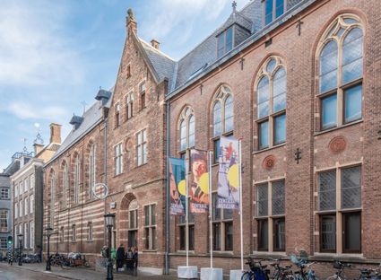
Agnietenstraat 1
3512 XA Utrecht -
-
Dunes of Soest
Dunes of Soest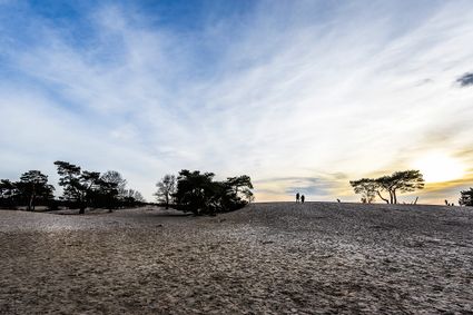
-
Pannenkoekenhuis de Grebbeberg
Pannenkoekenhuis de Grebbeberg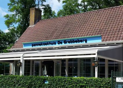
3911 AV Rhenen -
The Zouweboezem nature reserve
The Zouweboezem nature reserve
An undiscovered gem, full of beautiful flora and fauna. This storage area was dug in the 14th century to collect the excess water between the polders. Now it is an oasis of peace in which grasslands, reed beds and water alternate. Have your camera ready, because the swamp fields are the home and breeding ground for many bird species. The purple heron, the marsh harrier and the china grouse, you can admire them all.
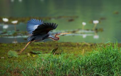
Boezemweg
Lexmond -
-
Pyramid of Austerlitz
Pyramid of Austerlitz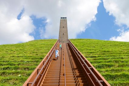
3931 MG Woudenberg -
Fort Hoofdijk
Fort Hoofdijk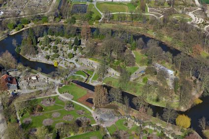
3584 HD Utrecht -
Bike boat Loosdrecht
Bike boat Loosdrecht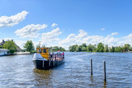
Oud-Loosdrechtsedijk
1231 LW Loosdrecht -
VVV Scherpenzeel
VVV Scherpenzeel
Vlieterweg 17
3925 GA Scherpenzeel -
TOP Schloss Soestdijk
TOP Schloss Soestdijk
3744 AA Baarn -
Koppelpoort (gate)
Koppelpoort (gate)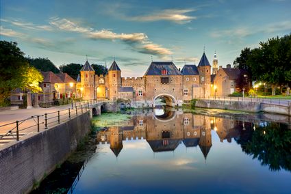
3811 MG Amersfoort -
Recreatiepark De Lucht
Recreatiepark De Lucht
Barneveldsestraat 49
3927 CB Renswoude -
Utrechtse Heuvelrug National Park
Utrechtse Heuvelrug National Park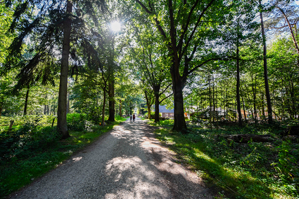
-
Sawmill De Ster
Sawmill De Ster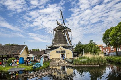
3531 ET Utrecht -
Fort Maarsseveen
Fort Maarsseveen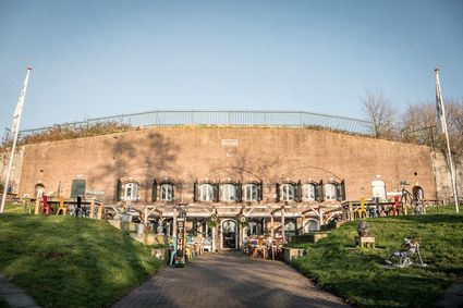
3602 AM Maarssen -
B&B Kasteel Sterkenburg
B&B Kasteel Sterkenburg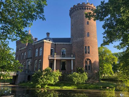
3972 ND Driebergen-Rijsenburg