odp
73 to 96 of 301 locations
-
Bicycle Boat on the river Vecht
Bicycle Boat on the river Vecht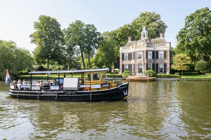
Rijksstraatweg 11
3631 AA Nieuwersluis -
DOMunder
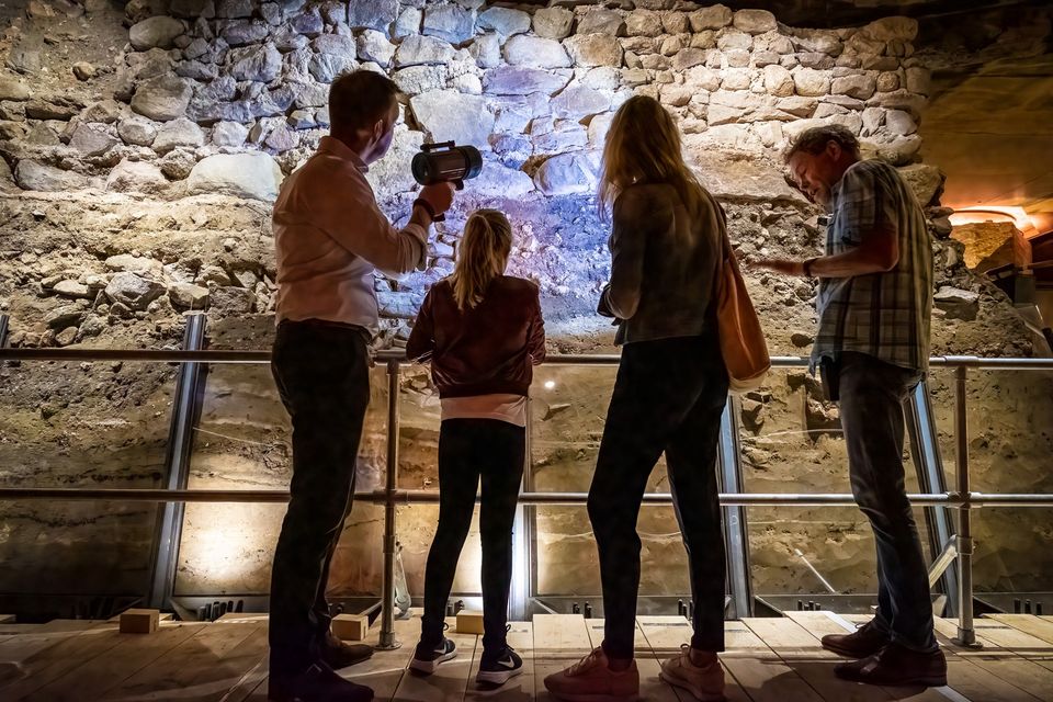
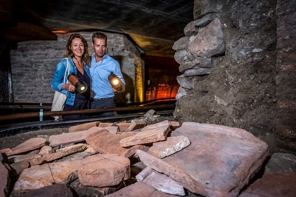
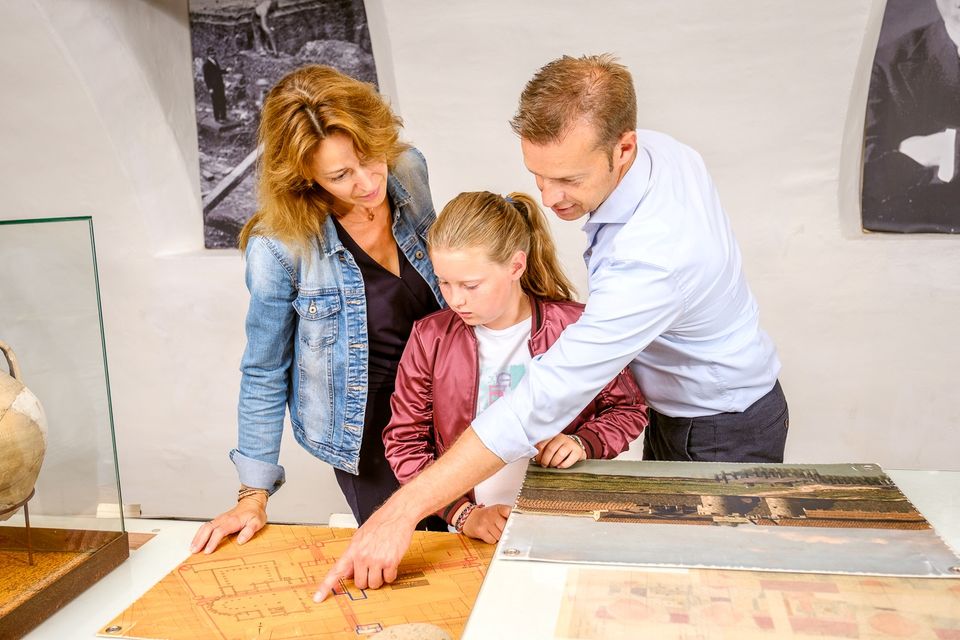
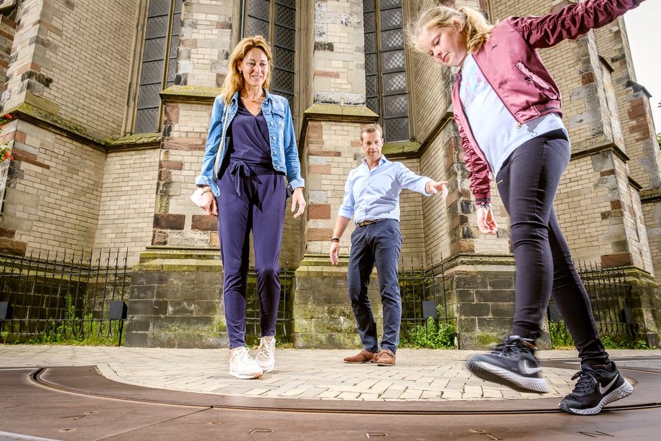
DOMunder
DOMunder uncovers the rich history of one of Utrecht's most significant locations: Domplein. Guided by an expert and equipped with your own smart flashlight, you will explore the place where the city of Utrecht was born. Go underground and discover archaeological remains and exciting stories.

3512 JC Utrecht -
-
Fort Hinderdam
Fort Hinderdam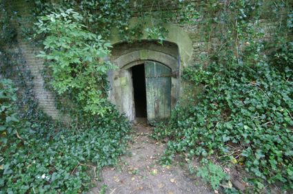
Hinderdam 7
1394 JB Nederhorst den Berg -
Rijn en Zon corn mill in the Vogelenbuurt
Rijn en Zon corn mill in the Vogelenbuurt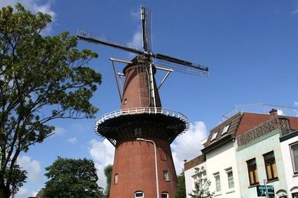
3524 CE Utrecht -
National Glass Museum & Glass studio
National Glass Museum & Glass studio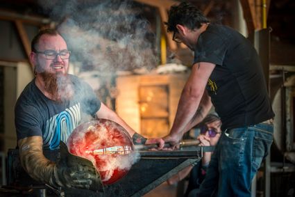
4142 LD Leerdam -
Vianen Castle “Op de Bol”
Vianen Castle “Op de Bol”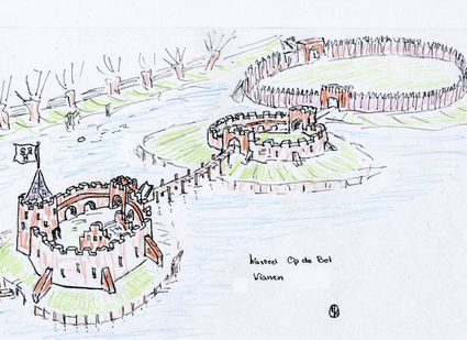
't wed 2
4132 CC Vianen -
Soesterduinen
Soesterduinen
Foekenlaan 25
3768 BJ Soest -
Rope museum
Rope museum
3421 SZ Oudewater -
TOP ‘t Jagershuys
TOP ‘t Jagershuys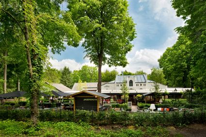
3707 HW Zeist -
Fort at 't Hemeltje
Fort at 't Hemeltje
Fort 't Hemeltje dates from 1877-1881 and is the last built fort of the New Dutch Waterline. It defended a strip of land that could not be flooded and the 's-Hertogenbosch-Utrecht railway line. Nowadays, Fort bij 't Hemeltje is largely used as office space for various entrepreneurs who are active in the field of sustainability. The fort also offers shelter to (breeding) birds and bats.
There is a walking route around the fort and there is an exciting spy route with fun assignments for children. In addition, the fort is regularly open to the public, for example during Open Heritage Days.
3992 LX Houten -
-
Centraal Museum
Centraal Museum
The Centraal Museum is your gateway to art and culture from the world of Utrecht. From Rietveld to the Utrecht Caravaggists, from Dick Bruna to Moesman and from Viktor & Rolf to the centuries-old Utrecht ship. A museum which leaves you inspired time after time. The museum has been housed in this medieval cloister on the Nicolaaskerkhof since 1921 and currently consists of an eclectic collection of buildings with a large courtyard at their centre. It’s a lovely place to wander through hallways and stairwells, and where you can be surprised by the various exhibitions.
Collection
The museum has the largest collection of Rietveld pieces in the world, and shows the work of the world-famous Dick Bruna. The collection of old art is also worthwhile with work from Jan van Scorel, Abraham Bloemaert and Hendrick ten Brugghen. Besides the work of those Dutch icons, the Centraal Museum provides a broad overview of 2.000 years turbulent history, is also the ‘present’ a central theme with current fashion, design and visual art are high on the agenda.Studio Dick Bruna
A special part of the Central Museum is the studio of Dick Bruna, one of the Netherlands’ most famous illustrators and graphic designers. For the last 30 years of his career, he worked at his studio in the centre of Utrecht daily. This was where he created his illustrations and stories, surrounded by personal memories, photos of memorable encounters, gifts from fans and letters from fellow artists.Online tickets
Skip the queue and order your tickets online. You will receive your ticket by email and showing it on your smartphone at the entrance of the museum is sufficient.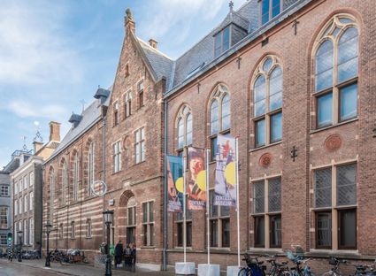
Agnietenstraat 1
3512 XA Utrecht -
-
Eethuys-Café De Generaal - Baarn
Eethuys-Café De Generaal - Baarn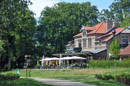
3743 JL Baarn -
Fort de Batterijen
Fort de Batterijen
Overeindseweg 25
3439LP Nieuwegein -
Landgoed Zuylestein
Landgoed Zuylestein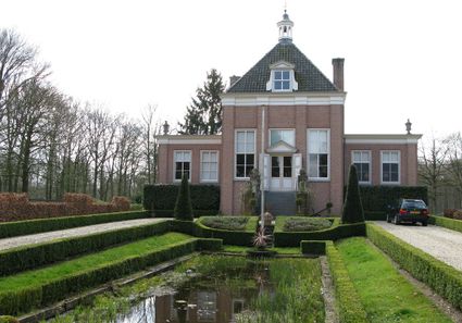
3956 CH Leersum -
Huis Doorn
Huis Doorn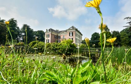
3941 MT Doorn -
Vianen
Vianen
Vianen -
Museum Spakenburg
Museum Spakenburg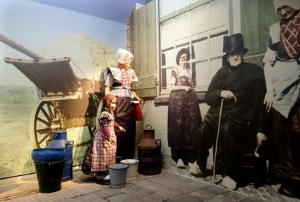
3752 AH Bunschoten-Spakenburg -
Speelbos (forest playground) Nieuw Wulven
Speelbos (forest playground) Nieuw Wulven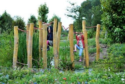
Binnenweg 26
3994 AN Houten -
Nationaal Bomenmuseum Gimborn
Nationaal Bomenmuseum Gimborn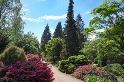
3941 BZ Doorn -
Pausdam
Pausdam
3512 HN Utrecht -
Proeverij de Azijnmakerij
Proeverij de Azijnmakerij
Zeist -
Large Pump/Vianen Town Pump
Large Pump/Vianen Town Pump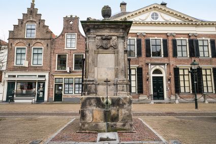
Voorstraat 54
4132 AS Vianen -
TOP De Generaal
TOP De Generaal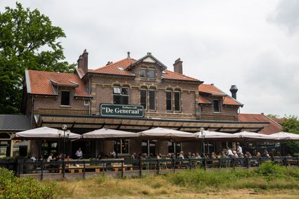
3743 JL Baarn -
City park Griftpark
City park Griftpark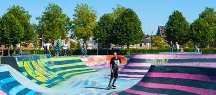
3572 KC Utrecht