odp
121 to 144 of 301 locations
-
City Museum Woerden
City Museum Woerden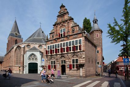
3441 BG Woerden -
Pyramid of Austerlitz
Pyramid of Austerlitz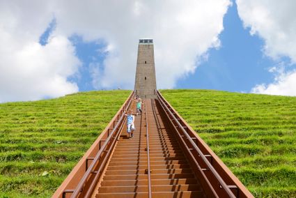
3931 MG Woudenberg -
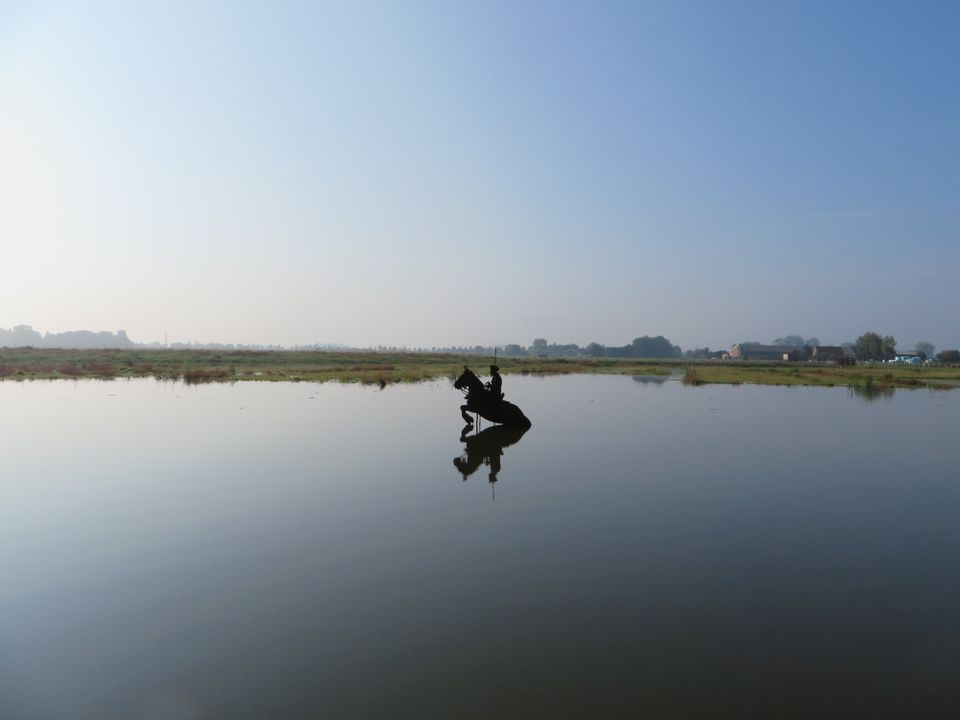
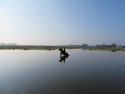
Blokhoven inundation area
Blokhoven inundation area
The Blokhoven polder flood plain is situated behind the Achterdijk in Schalkwijk. During heavy rainfall, it can collect up to 23,000 m3 of water to prevent Schalkwijk from being flooded. This volume is equivalent to around 10 Olympic swimming pools. The area is at the heart of the New Dutch Waterline. In the summer, the plain is flooded twice a month to illustrate the inundation principle for visitors. If heavy or prolonged rainfall is forecast, the water board may decide to forego the inundation, as the plain will be needed to collect excess water.
3998 NE Schalkwijk -
-
Koppelpoort (gate)
Koppelpoort (gate)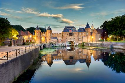
3811 MG Amersfoort -
Ouwehands Zoo Rhenen
Ouwehands Zoo Rhenen
3911 AV Rhenen -
Boundary posts
Boundary posts
In around 1875, the Ministry of War erected some 350 boundary posts along the length of the Kromme Rijn. The blue stone posts, marked with the letter O (for Oorlog, the Dutch word for war) and a number, marked the new route for transporting water to the New Dutch Waterline. The posts used to line up with plot boundaries. Many have been removed over the years, but the water board has returned 18 of them to their original location along the towpath between Werkhoven and Odijk following the construction of an environmentally friendly riverbank.
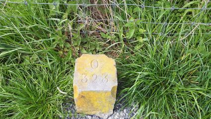
Odijk -
-
Fort Hoofdijk
Fort Hoofdijk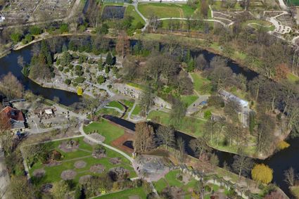
3584 HD Utrecht -
Groene Entree Hoogstraat
Groene Entree Hoogstraat
3941 MN DOORN -
Vianen Municipal Museum
Vianen Municipal Museum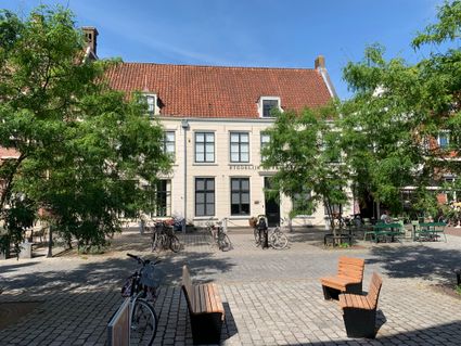
Voorstraat 97
4132 AP Vianen -
TOP Amerongen
TOP Amerongen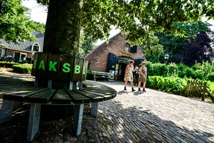
3958 ER Amerongen -
Country Estate Bergse Bossen***
Country Estate Bergse Bossen***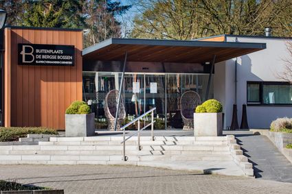
3971 GM Driebergen-Rijsenburg -
De Vriendschap windmill
De Vriendschap windmill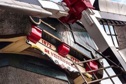
Nieuweweg 109
3905 LJ Veenendaal -
Slot Zeist
Slot Zeist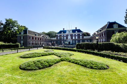
3703 CE Zeist -
Stoomgemaal Teijlingens Kamerik
Stoomgemaal Teijlingens Kamerik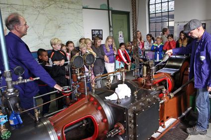
3471 GC Kamerik -
The Lekpoort
The Lekpoort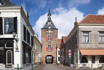
4132 AR Vianen -
Molen Rijn en Lek
Molen Rijn en Lek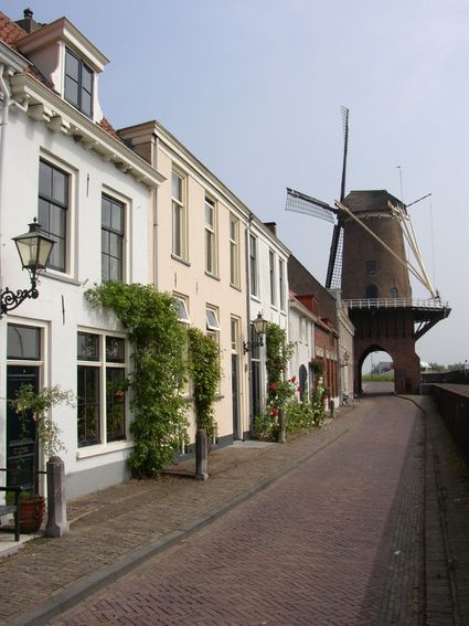
Dijkstraat 23
3961 AA Wijk bij Duurstede -
Petrus Tower
Petrus Tower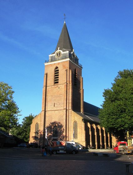
3441 AJ Woerden -
Vechtstreekmuseum Maarssen
Vechtstreekmuseum Maarssen
Diependaalsedijk 19
3601 GH MAARSSEN -
TOP City harbour Wijk bij Duurstede
TOP City harbour Wijk bij Duurstede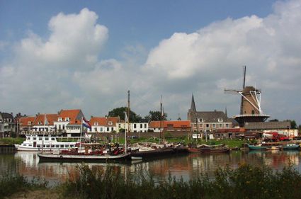
Havenweg
3961 AW Wijk bij Duurstede -
Grebbe line
Grebbe line
3927 EJ Renswoude -
Brouwerij Maximus
Brouwerij Maximus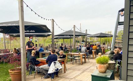
3454 NA Utrecht -
Museum Bunker Leusden
Museum Bunker Leusden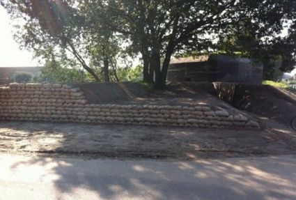
3831 RZ Leusden -
Café-Restaurant De Lage Vuursche
Café-Restaurant De Lage Vuursche
3749 AD Lage Vuursche -
Bicycle Boat, stop NIeuwersluis
Bicycle Boat, stop NIeuwersluis
zandpad 23
3601NA Maarssen