odp
193 to 216 of 294 locations
-
Vianen Castle “Op de Bol”
Vianen Castle “Op de Bol”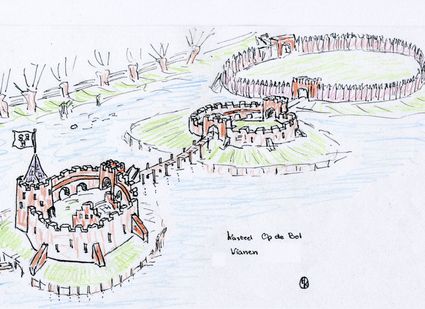
't wed 2
4132 CC Vianen -
Pyramid of Austerlitz
Pyramid of Austerlitz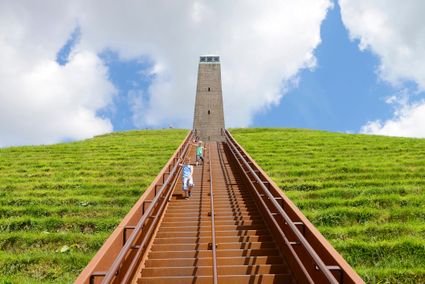
3931 MG Woudenberg -
Soesterduinen
Soesterduinen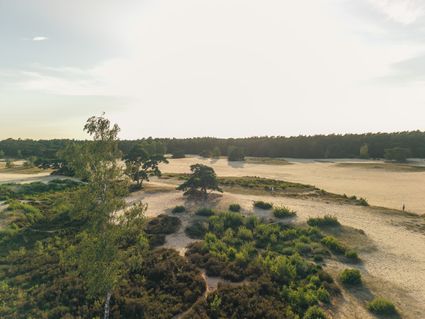
Foekenlaan 25
3768 BJ Soest -
The Monnikendam
The Monnikendam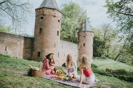
3811 HH Amersfoort -
Treek-Henschoten Estate
Treek-Henschoten Estate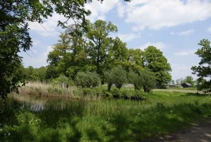
3832 RS Leusden -
Bicycle Boat on the river Vecht
Bicycle Boat on the river Vecht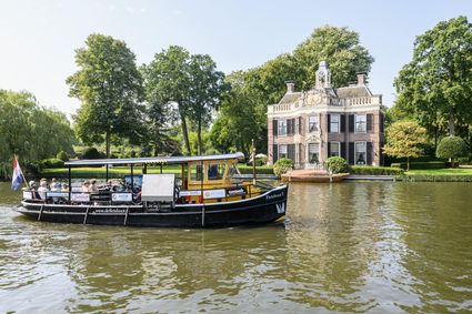
Rijksstraatweg 11
3631 AA Nieuwersluis -
Tobacco Cultivation Museum
Tobacco Cultivation Museum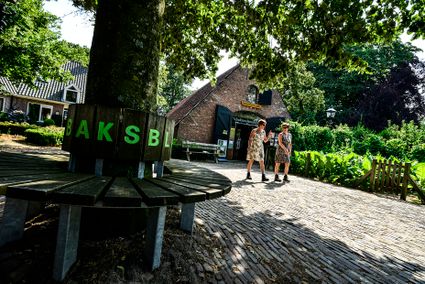
Burg. Jhr. H. v.d. Boschstraat 46
3958 CD Amerongen -
Inundation lock at Wijk bij Duurstede
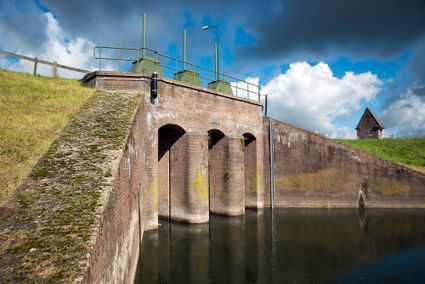
Inundation lock at Wijk bij Duurstede
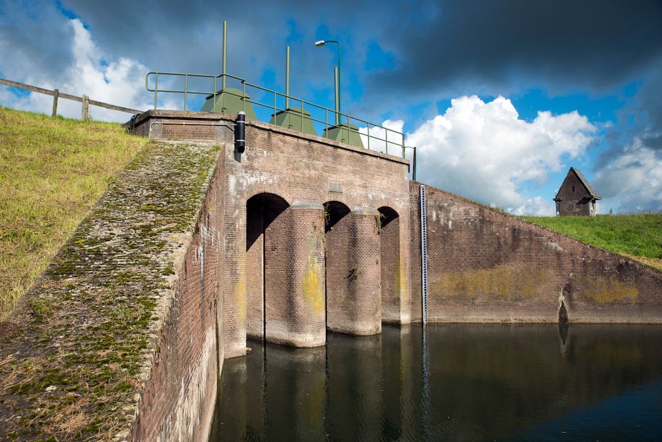
In 1870, the Kromme Rijn was given a key role in the New Dutch Waterline. Back then, it took almost a month to flood the area around Utrecht. This had to be speeded up. To this end, the river was widened, its bends were straightened and locks and dams were built. Near Wijk bij Duurstede, a large inundation lock was built that made Wijk bij Duurstede the ‘tap’ with which to turn on the New Dutch Waterline. This reduced the time needed to flood the inundation areas to between 4 and 12 days. The inlet is still used daily to transport fresh water to the city of Utrecht and the river Vecht.
3961CH Wijk bij Duurstede -
-
Koppelpoort (gate)
Koppelpoort (gate)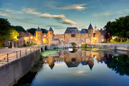
3811 MG Amersfoort -
Blokhoven inundation area
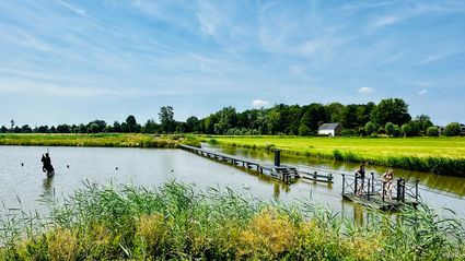
Blokhoven inundation area
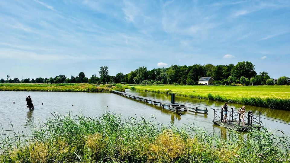
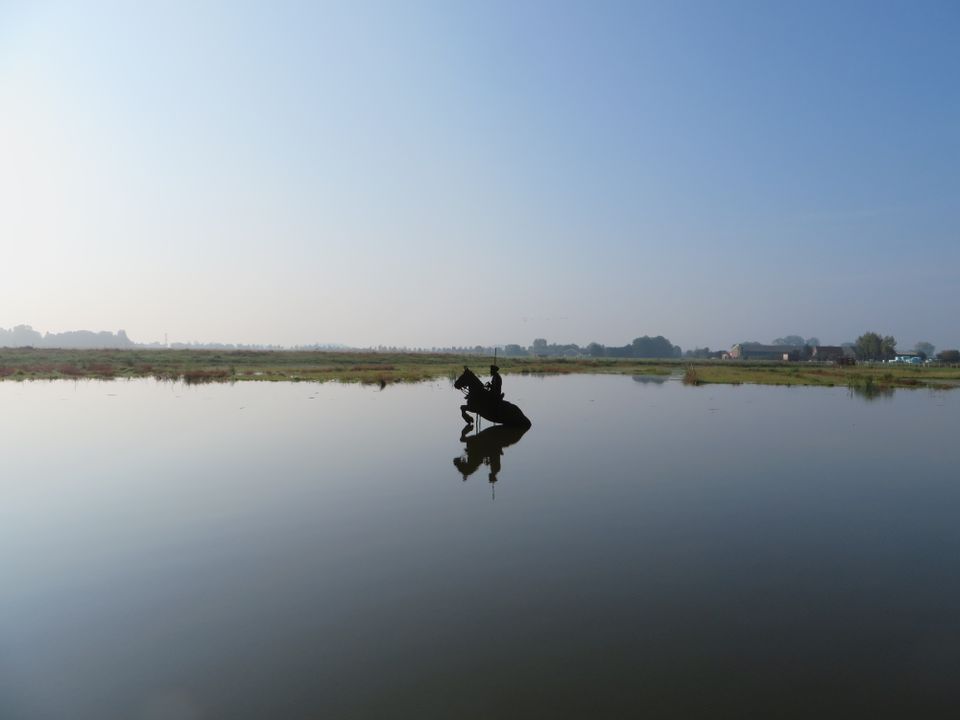
The Blokhoven polder flood plain is situated behind the Achterdijk in Schalkwijk. During heavy rainfall, it can collect up to 23,000 m3 of water to prevent Schalkwijk from being flooded. This volume is equivalent to around 10 Olympic swimming pools. The area is at the heart of the New Dutch Waterline. In the summer, the plain is flooded twice a month to illustrate the inundation principle for visitors. If heavy or prolonged rainfall is forecast, the water board may decide to forego the inundation, as the plain will be needed to collect excess water.
3998 NE Schalkwijk -
-
Beauforthuis
Beauforthuis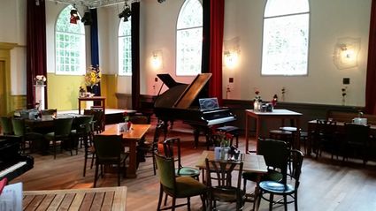
3711 AB Austerlitz -
Stayokay Utrecht Centrum
Stayokay Utrecht Centrum
3512 AD Utrecht -
Fort Tienhoven
Fort Tienhoven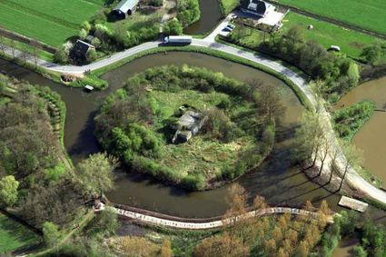
3612 NB Tienhoven -
Grachten Galerie
Grachten Galerie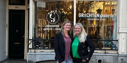
3511 NE Utrecht -
Fort Spion
Fort Spion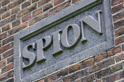
Bloklaan 9a
1231 AZ Loosdrecht -
The Vuursche
The Vuursche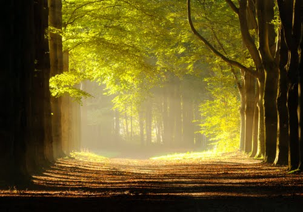
3749 Lage Vuursche -
TOP Groot Zandbrink
TOP Groot Zandbrink
3831 SE Leusden -
Rijnauwen Fort
Rijnauwen Fort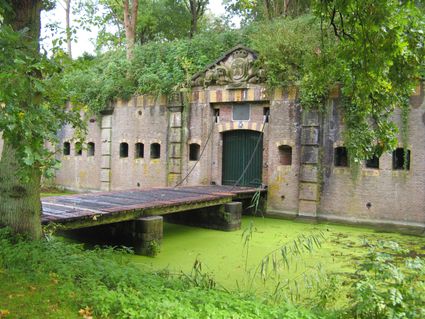
Vossegatsedijk 5
3981 HS Bunnik -
Fort Kijkuit
Fort Kijkuit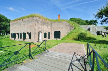
Gabriëlweg 6
1241 ND Kortenhoef -
Fort de Gagel
Fort de Gagel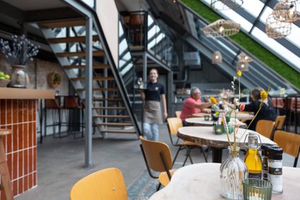
3566 MJ Utrecht -
Fort Asperen
Fort Asperen
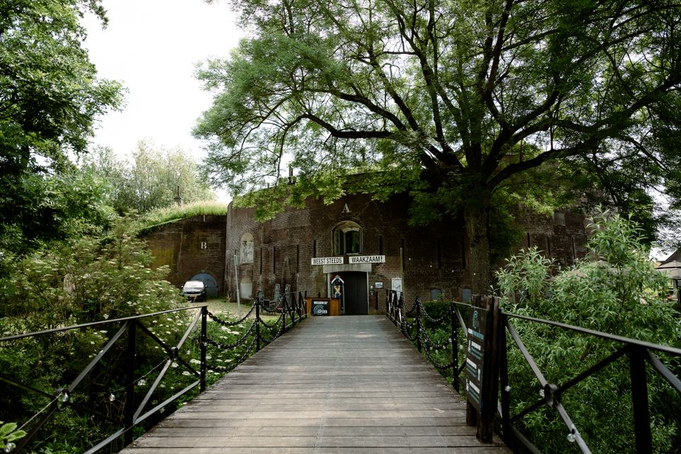
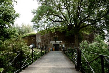
This magnificent tower fort, built between 1845 and 1847, is surrounded by a moat for extra protection. Fort Asperen last saw active use on 12 April 1940, as part of preparations for the coming war. However, the Germans flew straight past it. Fort Asperen, which is an artwork in and of itself, is open to visitors in the summer months. The domed roof to keep out the rain, for instance, is made entirely of glass slates designed in the Glassworks at the National Glass Museum.
Langendijk 60
4145BR Acquoy -
-
Landgoed Ginkelduin
Landgoed Ginkelduin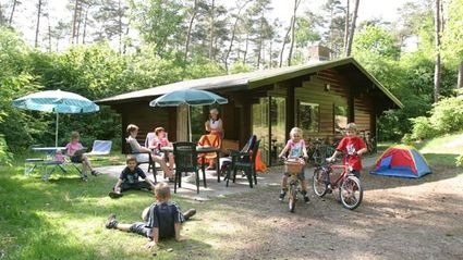
3956 KD Leersum -
Molen de Ster
Molen de Ster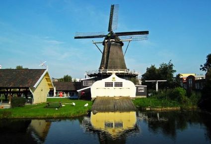
-
Tourist Information Point Leerdam
Tourist Information Point Leerdam
Leerdam, who has not heard about this beautiful city? Since 1765 the Glasscapital of the Netherlands and the whole world eats our Leerdammer Cheese. If you're looking for culture, good food, sailing, shopping, walking or cycling? The city center of Leerdam has it all!
Are you looking for information about Leerdam, tips and ideas, bicycle or walking routes? Come visit us in the Tourist Information Office in Leerdam. We are happy to help you find your way around Leerdam.
4141 AV Leerdam -