odp
25 to 48 of 302 locations
-
Mill de Hoop
Mill de Hoop
3752 CL Bunschoten-Spakenburg -
Cunera Hill
Cunera Hill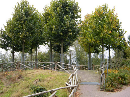
3911 AC Rhenen -
Stoomgemaal Teijlingens Kamerik
Stoomgemaal Teijlingens Kamerik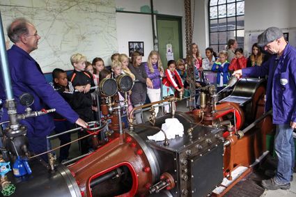
3471 GC Kamerik -
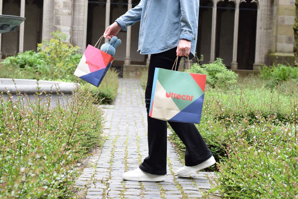
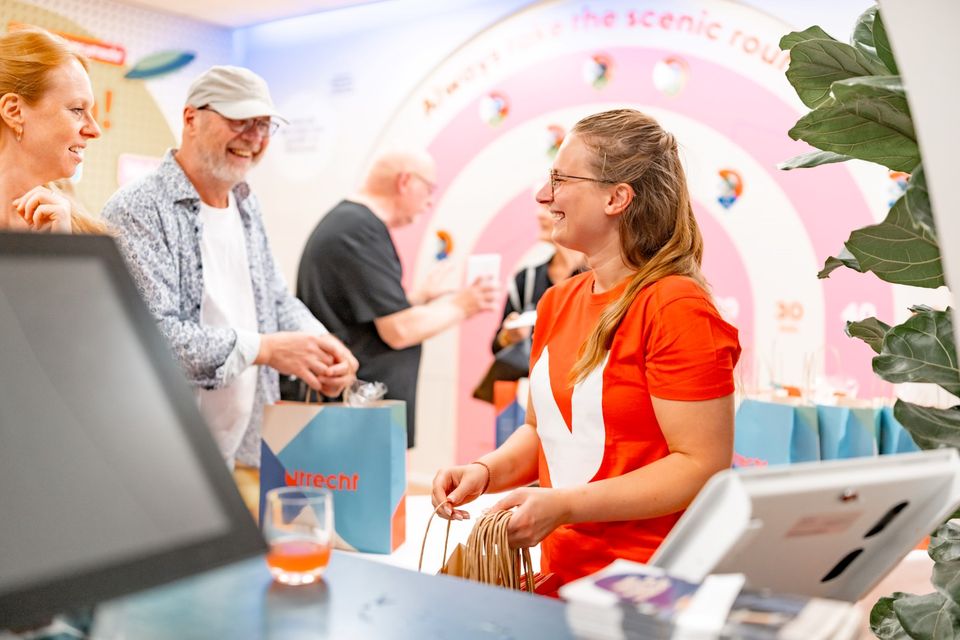
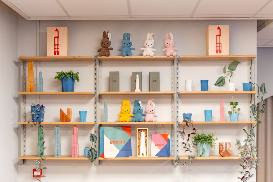
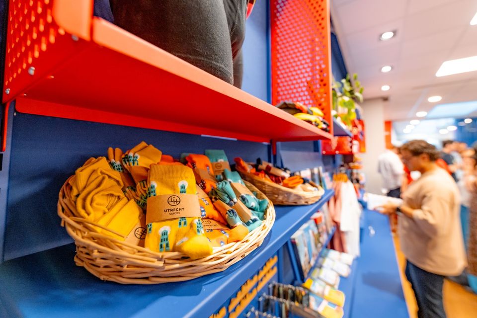
Utrecht Tourist Information 'Winkel van Utrecht'
Utrecht Tourist Information 'Winkel van Utrecht'
Located at the foot of the Dom Tower you will find the Utrecht Tourist Information Centre (VVV Utrecht). Make the most of your time in Utrecht by planning your trip with help from experts! Whether you’re searching for the best accommodation, exciting excursions in Utrecht or the region, the dedicated staff of VVV Utrecht can help you with a wonderful stay. They can also help you to book tickets, toursand information about public transport in and around Utrecht.
The Tourist Information Office is also the ultimate souvenir shop in Utrecht, with Holland souvenirs, typical Utrecht products and the largest selection of Miffy gifts in a special Miffy house available!
Go to the VVV Utrecht Information Centre for:
- Tourist information
- Dom Tower climbs
- Souvenirs
- Hotel bookings
- Gift vouchers
- Bicycle hire
- Walks and bicycle tours
- Guided tours
The information centre has free wireless Internet.
Public holidays:
Regular opening hours apply during public holidays, with the exception of Kings Day (27 April) during which the information centre will be closed.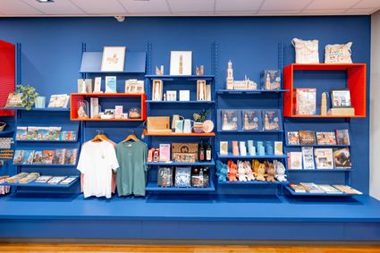
Domplein 9
3512JC Utrecht -
-
Castellum Hoge Woerd
Castellum Hoge Woerd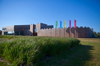
3454 PB De Meern -
TOP Groot Zandbrink
TOP Groot Zandbrink
3831 SE Leusden -
Huis Doorn
Huis Doorn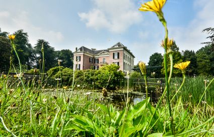
3941 MT Doorn -
The Vuursche
The Vuursche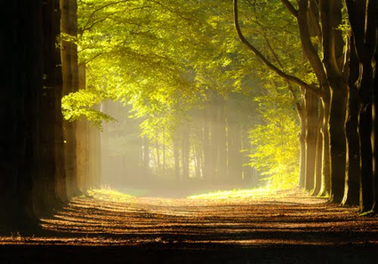
3749 Lage Vuursche -
Boundary posts
Boundary posts
In around 1875, the Ministry of War erected some 350 boundary posts along the length of the Kromme Rijn. The blue stone posts, marked with the letter O (for Oorlog, the Dutch word for war) and a number, marked the new route for transporting water to the New Dutch Waterline. The posts used to line up with plot boundaries. Many have been removed over the years, but the water board has returned 18 of them to their original location along the towpath between Werkhoven and Odijk following the construction of an environmentally friendly riverbank.
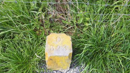
Odijk -
-
Veenendaal Town Beach
Veenendaal Town Beach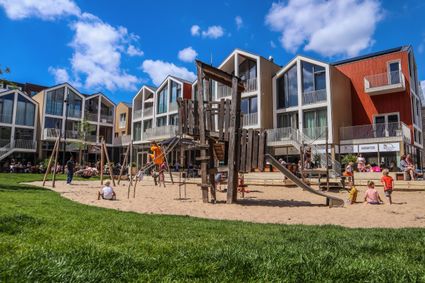
3901 Veenendaal -
Brasserie Soesterduinen
Brasserie Soesterduinen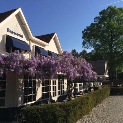
3768 MD Soest -
TOP Kersenpracht Cothen
TOP Kersenpracht Cothen
Graaf van Lynden van Sandenburgweg 2
3945 PB Cothen -
Dagwinkel Aloys Hageman
Dagwinkel Aloys Hageman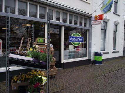
Voorstraat 15
3633 BB Vreeland -
The Great Church of Wijk bij Duurstede
The Great Church of Wijk bij Duurstede
3961 BC Wijk bij Duurstede -
Nationaal Bomenmuseum Gimborn
Nationaal Bomenmuseum Gimborn
3941 BZ Doorn -
Dutch Fortress Museum
Dutch Fortress Museum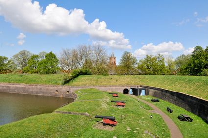
Westwalstraat 6
1411 PB Naarden -
TOP Laagraven
TOP Laagraven
3439 ZZ Nieuwegein -
Rijnauwen Fort
Rijnauwen Fort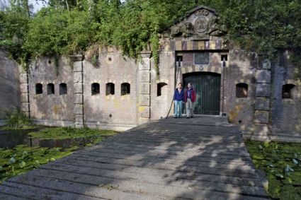
3981 HS Bunnik -
Hotel 't Wapen van Harmelen
Hotel 't Wapen van Harmelen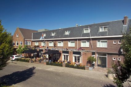
3481 EK Harmelen -
Bicycle Boat, stop NIeuwersluis
Bicycle Boat, stop NIeuwersluis
zandpad 23
3601NA Maarssen -
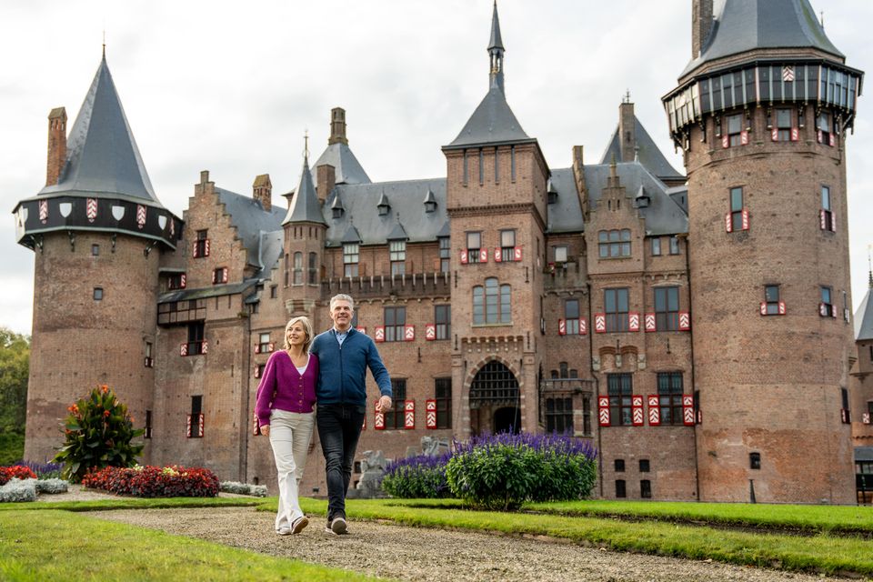
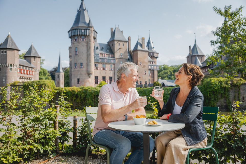
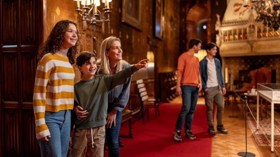
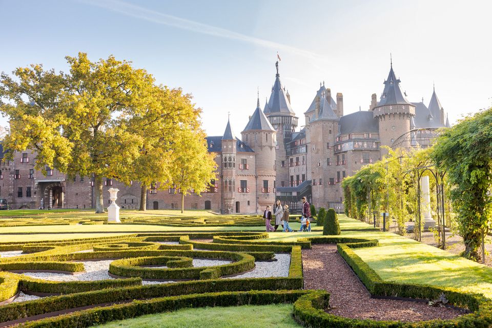
De Haar Castle
De Haar Castle
De Haar Castle is the biggest and most luxurious castle in The Netherlands. It is one of the top European historic houses. A visit to De Haar Castle will take you back to the glory days of the castle and will show you the breathtaking splendour that surrounded the international rich and famous in the early 20th century. You will be amazed at the very un-Dutch luxury in which the Van Zuylen family and their guests lived amidst a wealth of history and art.
Few castles in The Netherlands can equal De Haar for its ideal image of a medieval fortress with towers and ramparts, moats, gates and drawbridges. Like a real fairy-tale castle it rises majestically from parkland with impressive trees, old gardens and ponds. The castle is situated in the centre of The Netherlands, near Utrecht, and is easy to reach by car. There is ample parking space.
De Haar Castle ranks among the top twenty most visited Dutch museums. It is a historic monument alive with year-round activities such as guided tours (for adults and for children), exhibitions, theatre and events. De Haar Castle is a private foundation and depends entirely on its revenues from ticket sales, activities and events.
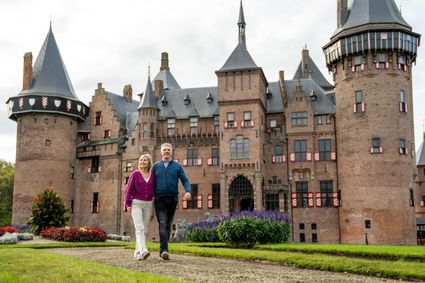
3455 RR Haarzuilens -
-
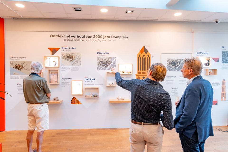
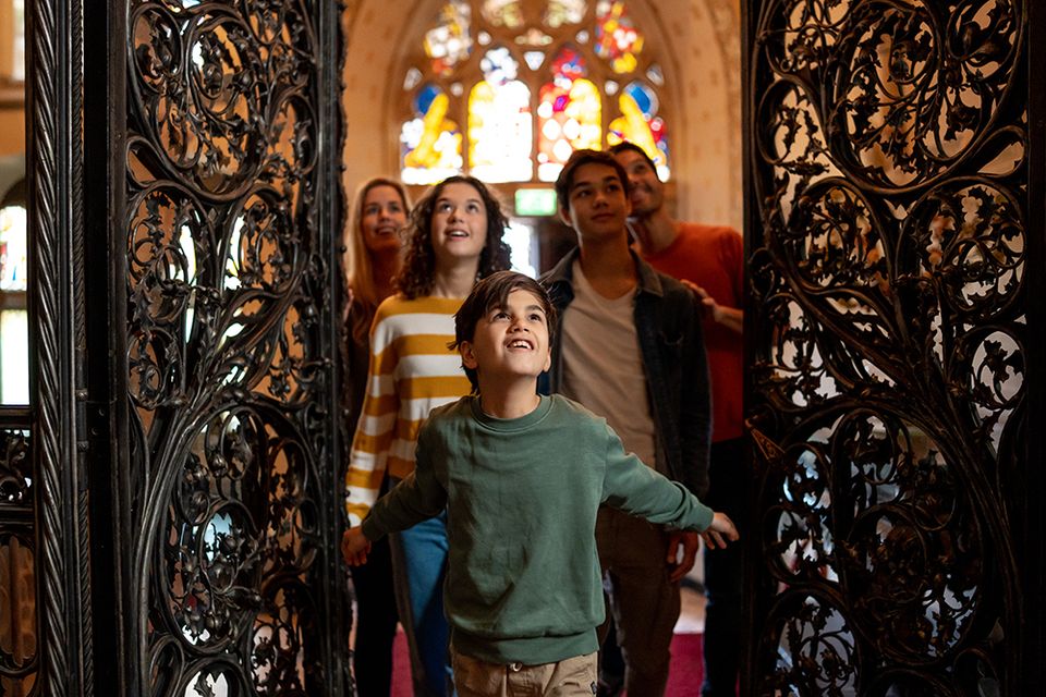
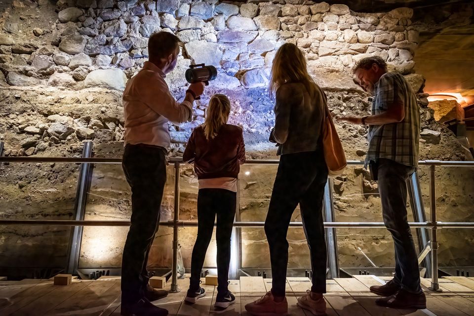
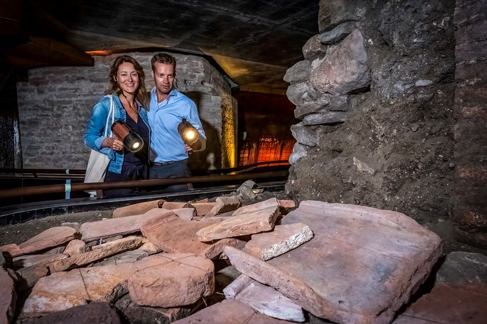
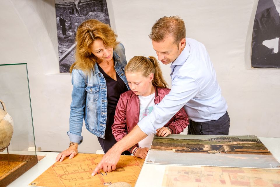
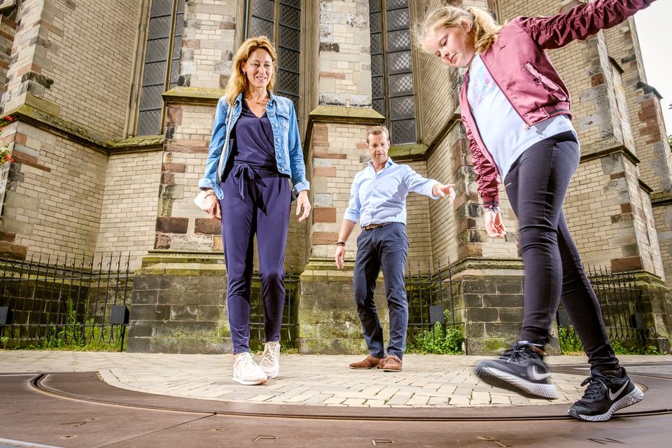
DOMunder
DOMunder
DOMunder uncovers the rich history of one of Utrecht's most significant locations: Domplein. Guided by an expert and equipped with your own smart flashlight, you will explore the place where the city of Utrecht was born. Go underground and discover archaeological remains and exciting stories.

3512 JC Utrecht -
-
Amelisweerd - Rhijnauwen
Amelisweerd - Rhijnauwen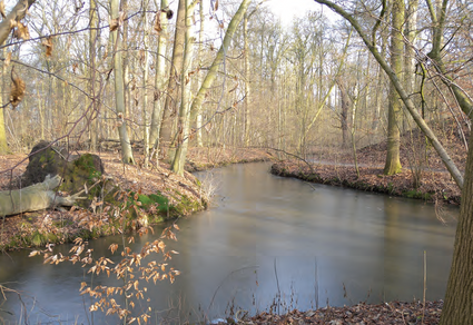
Koningslaan 9
3981 HD Bunnik -
Groene Entree & recreatie Doornse Gat
Groene Entree & recreatie Doornse Gat
3941 MN DOORN