

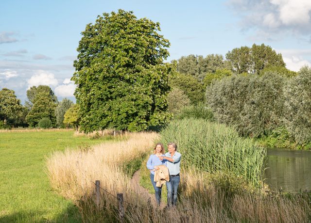
Kromme Rijn Path 29 KM OR stages of 7 KM each
From unique flora and fauna to historic tales of the Roman Limes, the Dutch Water Line and picturesque castles and country estates – this varied walking trail has it all.
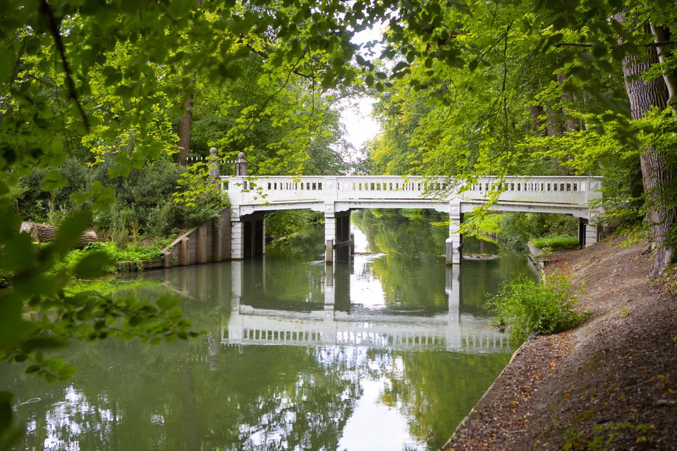
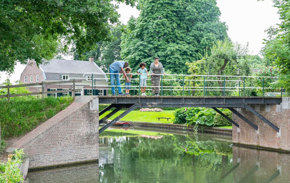
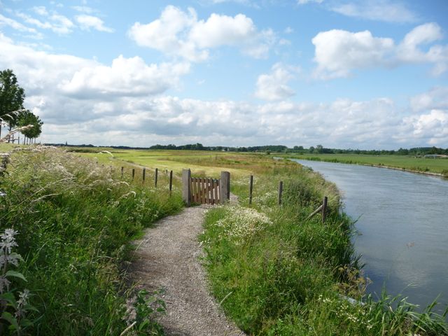
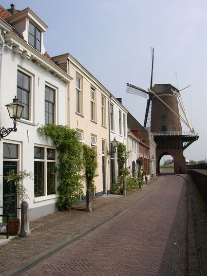
The Kromme Rijnpad is quite possibly the most beautiful trail in Utrecht. The varied route follows the course of the Kromme Rijn river and parts of an old tow path from Utrecht to Wijk bij Duurstede. Totalling 29 km in length, the route can also be split into smaller sections. Along the way, there's plenty to see and discover, with a great diversity of flora and fauna, orchards, stately country homes and parts of the Roman Limes and the New Dutch Waterline.
Take a look


Locations on this route
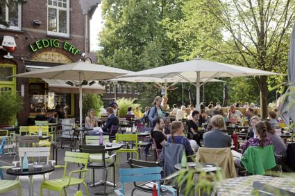
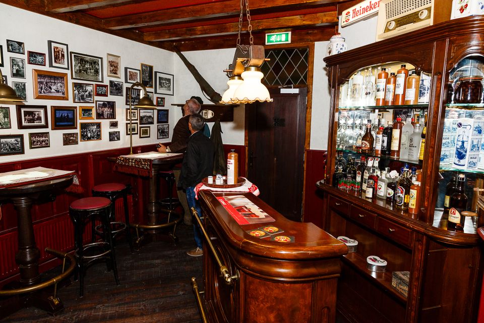
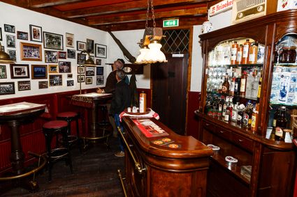
Ledig Erf
Ledig Erf is loved by locals. Nestled between the Oudegracht and the Singel, it is surrounded by water and known for it's sunny terraces.
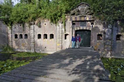
Fortresses of the four Lunetten
The four crescent shaped forts of Lunetten have been build between 1822 and 1828 as part of the Dutch Water Line.
Rijnauwen Fort
Fort Rijnauwen is tucked away in the forests between Zeist, De Bilt, Utrecht and Bunnik. This is the largest fort in the New Dutch Waterline – an impressive structure which is unique in our coun...
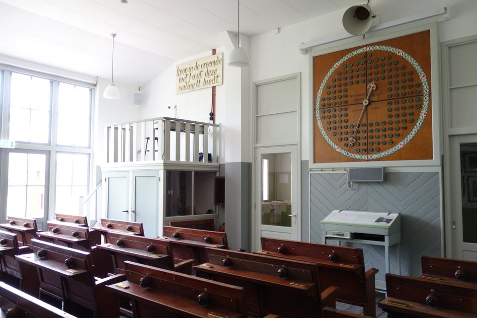
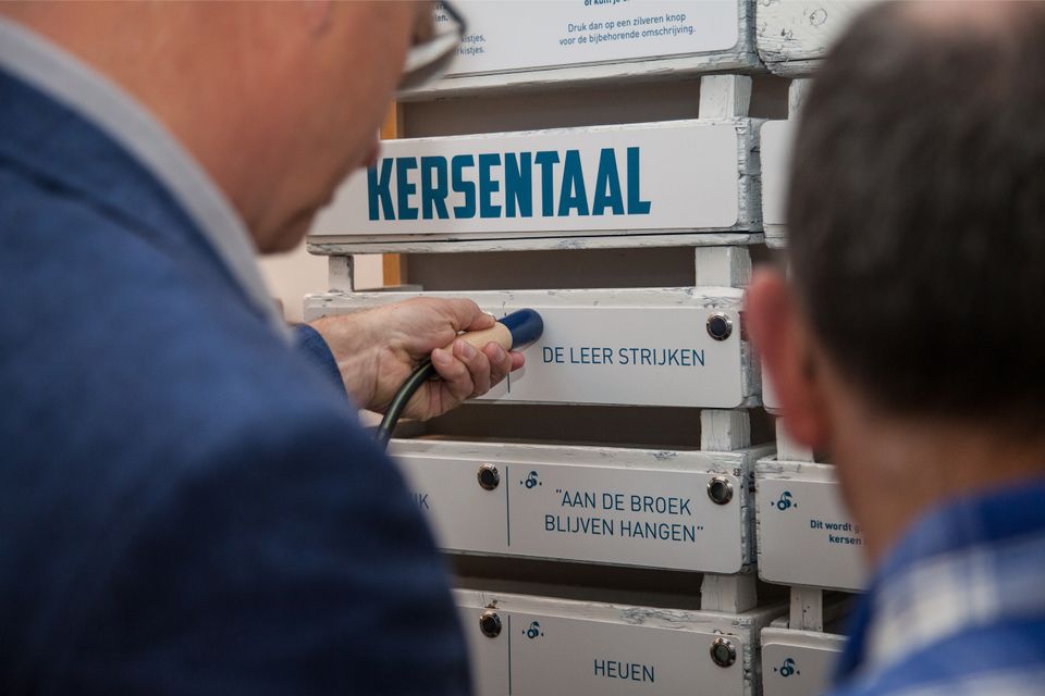
Kersenmuseum (cherry museum)
Cherry growing plays an important role in the heart of the Kromme Rijn region, and it is here you will find the Kersenmuseum (cherry museum) at Theo and Martine Vernooy's fruit farm.


Kersenmuseum (cherry museum)
Cherry growing plays an important role in the heart of the Kromme Rijn region, and it is here you will find the Kersenmuseum (cherry museum) at Theo and Martine Vernooy's fruit farm.
Visitors to this interactive museum will learn about the rich history of cherry growing, with attention to aspects such as tradition, pride, culture, great stories, nostalgia and unity. Although we are talking about a centuries-old tradition, cherry growing is very much evolving as age-old expertise is combined with modern-day technology.
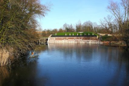
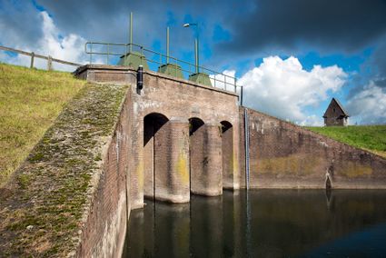
Inundation lock at Wijk bij Duurstede
In 1870, the Kromme Rijn was given a key role in the New Dutch Waterline. Back then, it took almost a month to flood the area around Utrecht. This had to be speeded up. To this end, the river wa...

Inundation lock at Wijk bij Duurstede
In 1870, the Kromme Rijn was given a key role in the New Dutch Waterline. Back then, it took almost a month to flood the area around Utrecht. This had to be speeded up. To this end, the river was widened, its bends were straightened and locks and dams were built. Near Wijk bij Duurstede, a large inundation lock was built that made Wijk bij Duurstede the ‘tap’ with which to turn on the New Dutch Waterline. This reduced the time needed to flood the inundation areas to between 4 and 12 days. The inlet is still used daily to transport fresh water to the city of Utrecht and the river Vecht.
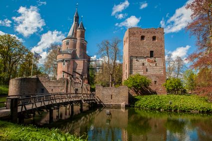
Duurstede Castle
One of the oldest medieval castles in the Netherlands. A fairy tale location surrounded by a gorgeous park with a moat, accessible exclusively by a drawbridge.
End point:
TOP Stadshaven Wijk bij DuurstedeHavenweg 2
3961 AW Wijk bij Duurstede
Navigate to endpoint
Directions
The entire route is signposted with markers bearing a picture of a hiker, with underneath it the trail name Kromme Rijnpad and an arrow pointing in the right direction.
This walking route is also based on junctions. The network can be recognised by the orange shields with blue numbers and arrows. Follow the numbers: 79 – 40 – 42 – 81 – 73 – 74 – 37 – 42 – 45 – 47 – 48 – 49 – 51 – 76 – 75 – 81 – 84 – 85 – 55 – 57 – 61 – 59 – 64 – 72 – 70 – 26 – 25 – 17 – 15 – 14 – 11 – 89 – 41 – 51 – 52 – 82 – 86 – 10.
You can follow the route in both directions.
End point:
TOP Stadshaven Wijk bij DuurstedeHavenweg 2
3961 AW Wijk bij Duurstede
Navigate to endpoint
- 84
- 83
- 41
- 82
- 79
- 40
- 42
- 81
- 73
- 74
- 37
- 42
- 45
- 47
- 48
- 49
- 51
- 76
- 75
- 81
- 84
- 85
- 55
- 57
- 61
- 59
- 64
- 72
- 70
- 26
- 25
- 17
- 15
- 14
- 11
- 11
- 89
- 41
- 51
- 52
- 82
- 86
- 10
Attributes
