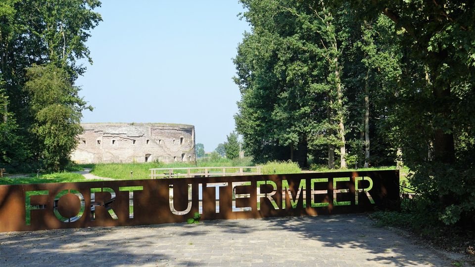
Fort Uitermeer
Fort Uitermeer occupies a prime strategic position in a bend of the river Vecht. If it could speak, it would tell many a tale about how the Vecht valley was formed, the clean waters of the Vechtplassen, the Dutch Water Defence Lines and the Dutch Society for Nature Conservation’s ongoing fight to preserve nature in a time of increasing urbanisation. Fort Uitermeer has a long history. A sconce of that name is said to have been located here even before 1589. Later, the sconce gave way to an earthwork and eventually a bomb-proof tower fort. The fort protected the lock, the ’s-Gravelandse Vaart and the surrounding roads and railway line.
Contact
You may also be interested in
-
Fort bij Vechten
Fort bij VechtenAchterdijk 12
3981 HB BunnikSight, Monument, Fort, Coffee shop, Lunch, Party location or hall hire
-
Kersenmuseum (cherry museum)
Kersenmuseum (cherry museum)Landwinkel de Kersenhut
Groenewoudseweg 18
3945 BC CothenSight, Monument, Museum
-
Rietveld Schröderhuis
Rietveld SchröderhuisPrins Hendriklaan 50 a
3512XC UtrechtArchitecture, Sight, Monument, Museum, Art and Culture
-
Fort Abcoude
Fort AbcoudeMolenweg 19
1391 CG AbcoudeMilitary heritage, Nature reserve
-
Large Pump/Vianen Town Pump
Large Pump/Vianen Town PumpStadspomp Vianen
Voorstraat 54
4132 AS VianenMonument
-
Asschatterkeerkade
You cannot see this content because you haven’t accepted cookies. If you want to watch this video, please click below to accept cookies.
Manage cookies
Asschatterkeerkade
The Asschatterkade dates from 1745, and is one of the longest trenches of the Grebbelinie, with its length of 2500 metres. The trench from 1799 lies east of Leusden, at the edge of the flood plain. But there are also elements from more recent history which can be found.
The nine visible military bunkers, for example, were built during the mobilisation between 1939-1940. There is also a unique concrete tank barrier from this time. During the May Days of 1940, the Germans attempted in vain to break through the defences.
AsschatterkeerkadeYou cannot see this content because you haven’t accepted cookies. If you want to watch this video, please click below to accept cookies.
Manage cookies
Asschatterkeerkade
The Asschatterkade dates from 1745, and is one of the longest trenches of the Grebbelinie, with its length of 2500 metres. The trench from 1799 lies east of Leusden, at the edge of the flood plain. But there are also elements from more recent history which can be found.
The nine visible military bunkers, for example, were built during the mobilisation between 1939-1940. There is also a unique concrete tank barrier from this time. During the May Days of 1940, the Germans attempted in vain to break through the defences.
Hagenouwselaan 0
3831 JP LeusdenSight, Military heritage, Tip voor onderweg
-
Pyramid of Austerlitz
Pyramid of AusterlitzZeisterweg 98
3931 MG WoudenbergHeritage, Sight, Military heritage, Play garden, Active and Sporty, Children's parties
-
Fort Nieuwersluis
Fort NieuwersluisRijksstraatweg 7 B
3631 AA NieuwersluisMilitary heritage, Fort, Tea garden, Nature and Recreation