odp
73 to 96 of 296 locations
-
Canals and shipyards
Canals and shipyards
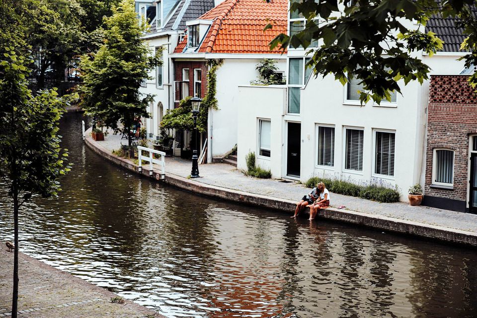
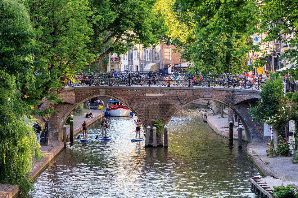
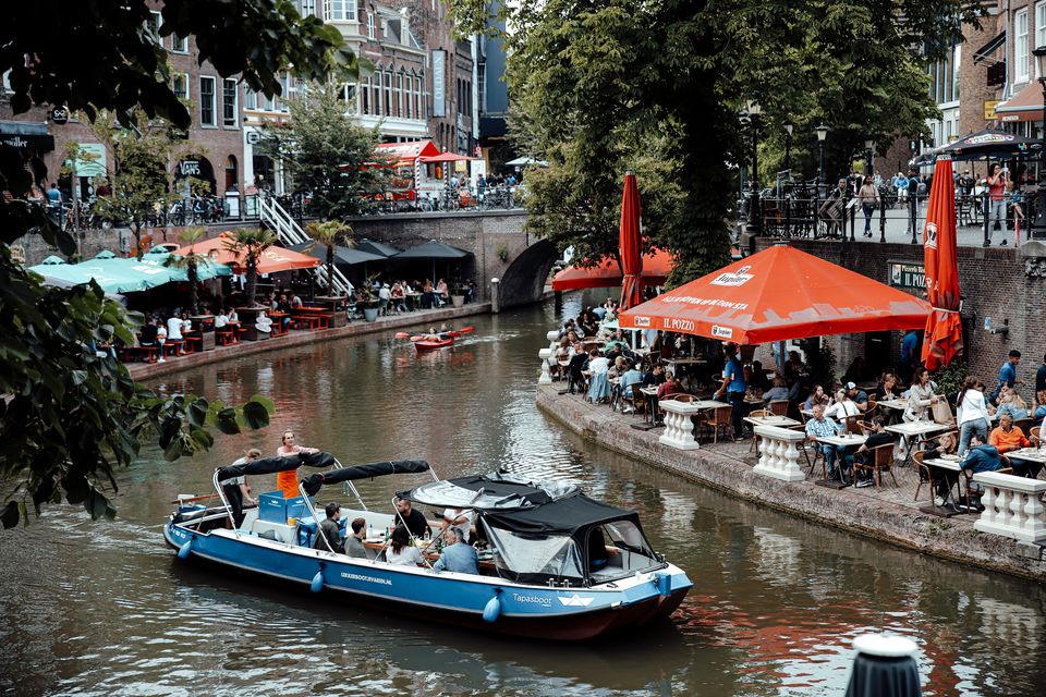
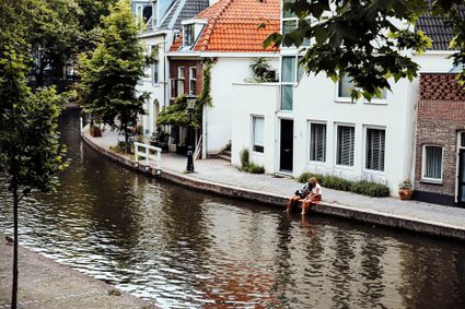
The Utrecht canals with their wharves and wharf cellars are unique in the world.
The 12th Century Oudegracht was built to change the course of the Oude Rijn river. Connecting the river Vecht in the north to the Vaartsche Rijn in the south, the Oudegracht was destined to become an elongated harbour. Large city castles were built along the canal and in the 13th Century, shipyards were built as second streets at water level. The deep cellars, serving as storage spaces, ran through to below the houses. Today, the canals and shipyards are home to shops, restaurants and private residences.
3511 AZ Utrecht -
-
Vechtstreekmuseum Maarssen
Vechtstreekmuseum Maarssen
3601 GH Maarssen -
Fort Ruigenhoek
Fort Ruigenhoek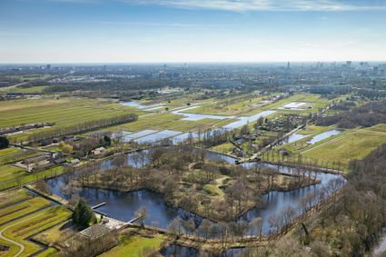
3737 MR Groenekan -
De Kastanjeboom
De Kastanjeboom
3751 LC Bunschoten -
Lock at Cothen
Lock at Cothen
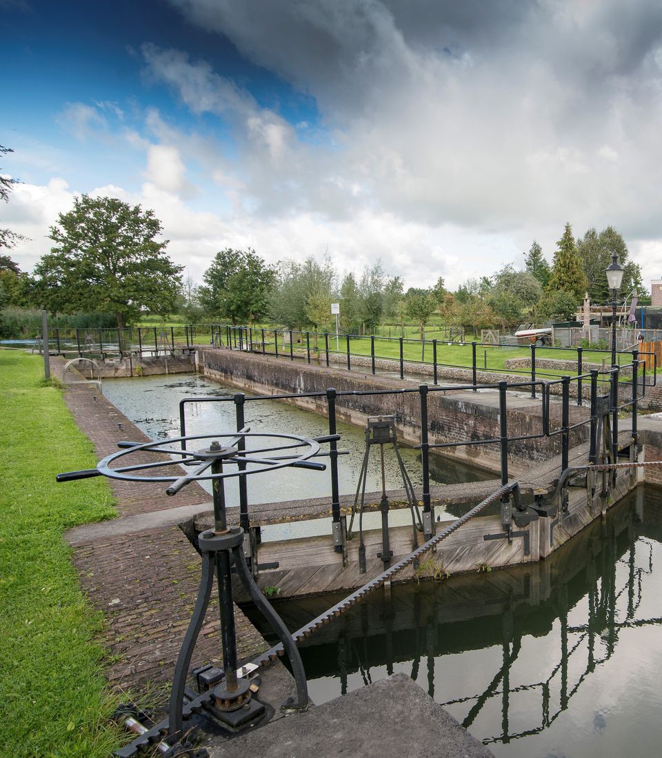
The water board uses the dam in the Kromme Rijn in Cothen to regulate the flow of water to and from Utrecht. The monumental lock alongside it (from 1865) was used during wartime to move ships past the dam. When the Waterline needed to be flooded, the commander of the inundation station at Wijk bij Duurstede first gave the order to raise the water level in the Kromme Rijn by closing off the lock with stop logs. Next, he ordered the stop logs to be removed so that a large body of water could flow from the open lock to Utrecht.
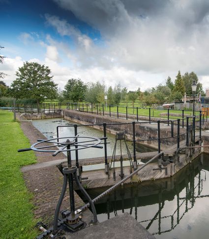
3945BN Cothen -
-
TOP De Generaal
TOP De Generaal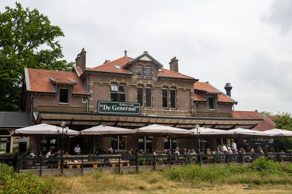
3743 JL Baarn -
Restaurant Rederij De Eemlust
Restaurant Rederij De Eemlust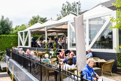
3741LC Baarn -
Treek-Henschoten Estate
Treek-Henschoten Estate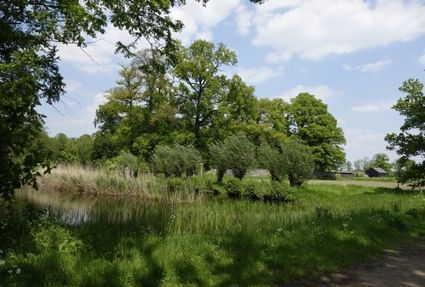
3832 RS Leusden -
The Horse Sanctuary
The Horse Sanctuary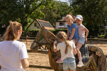
3768 HL Soest -
Soesterberg Park Air Base
Soesterberg Park Air Base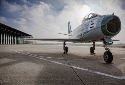
3768 MX Soest -
Statues in the Máximapark
Statues in the Máximapark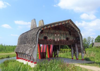
Utrecht -
TOP teahouse Monchouette
TOP teahouse Monchouette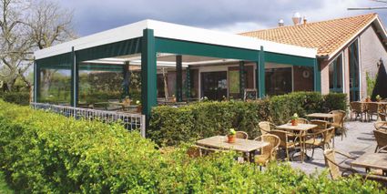
3831 JZ Leusden -
TOP Island of Schalkwijk
TOP Island of Schalkwijk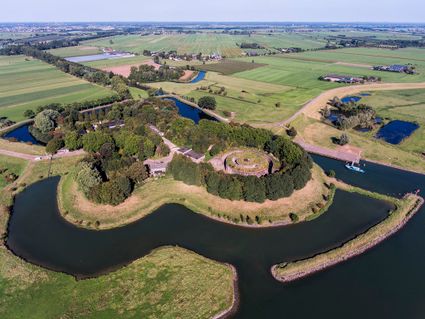
3998 JE Schalkwijk -
TOP De Schammer
TOP De Schammer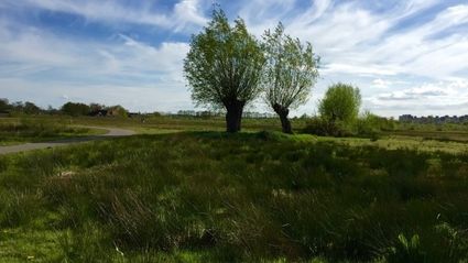
3835 PT Stoutenburg -
Restaurant-Chalet Klein Zwitserland
Restaurant-Chalet Klein Zwitserland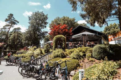
3971 GM Driebergen-Rijsenburg -
TOP Groeneveld Castle
TOP Groeneveld Castle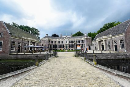
3744 ML Baarn -
Molen Rijn en Lek
Molen Rijn en Lek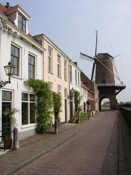
Dijkstraat 23
3961 AA Wijk bij Duurstede -
Geertje’s Hoeve
Geertje’s Hoeve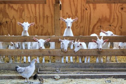
Thematerweg 5
3455 SM Utrecht -
Stoomgemaal Teijlingens Kamerik
Stoomgemaal Teijlingens Kamerik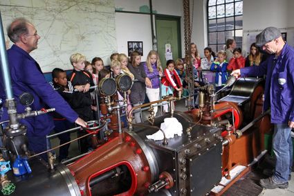
3471 GC Kamerik -
Veenendaal Museum
Veenendaal Museum
Kees Stipplein 76
3901 TP Veenendaal -
Castle Groeneveld
Castle Groeneveld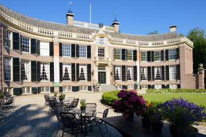
Groeneveld 2
3744 ML Baarn -
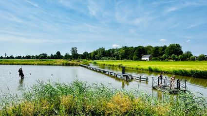
Blokhoven inundation area
Blokhoven inundation area
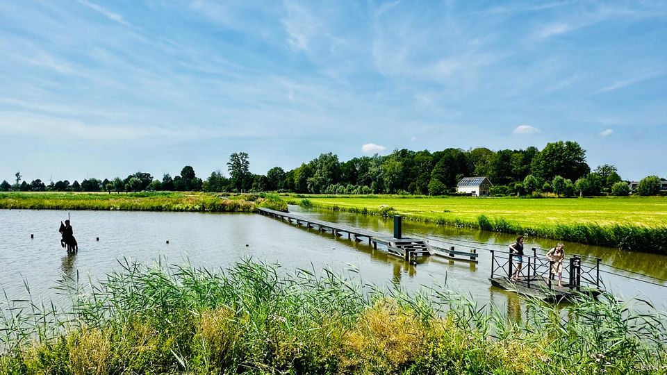
The Blokhoven polder flood plain is situated behind the Achterdijk in Schalkwijk. During heavy rainfall, it can collect up to 23,000 m3 of water to prevent Schalkwijk from being flooded. This volume is equivalent to around 10 Olympic swimming pools. The area is at the heart of the New Dutch Waterline. In the summer, the plain is flooded twice a month to illustrate the inundation principle for visitors. If heavy or prolonged rainfall is forecast, the water board may decide to forego the inundation, as the plain will be needed to collect excess water.
3998 NE Schalkwijk -
-
TOP Vinkeveense Plassen, Vinkeveen
TOP Vinkeveense Plassen, Vinkeveen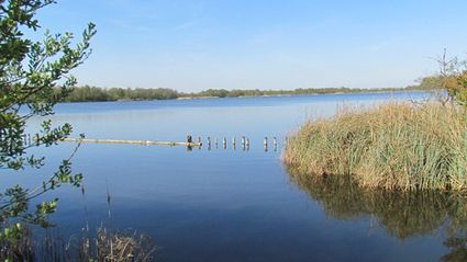
3645DA Vinkeveen -
Landgoed Ginkelduin
Landgoed Ginkelduin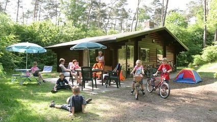
3956 KD Leersum