odp
97 to 120 of 301 locations
-
Muurhuizen (Wallhouses)
Muurhuizen (Wallhouses)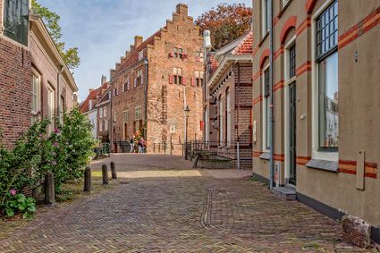
3811 Amersfoort -
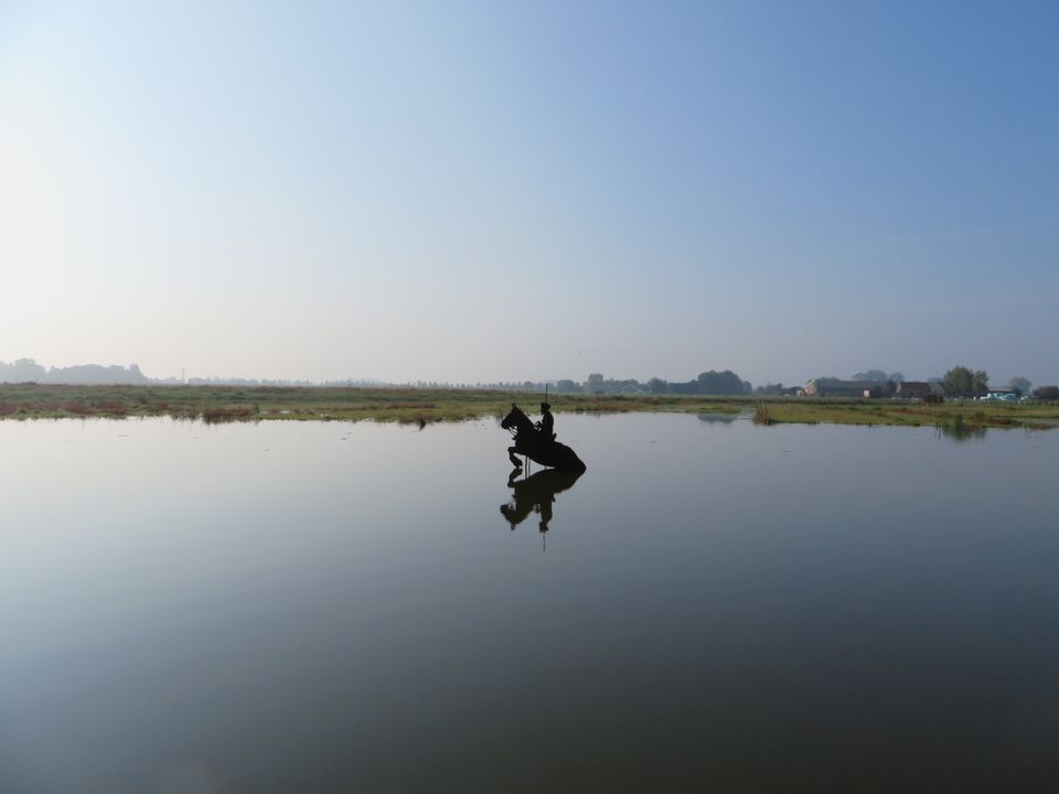
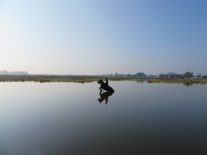
Blokhoven inundation area
Blokhoven inundation area
The Blokhoven polder flood plain is situated behind the Achterdijk in Schalkwijk. During heavy rainfall, it can collect up to 23,000 m3 of water to prevent Schalkwijk from being flooded. This volume is equivalent to around 10 Olympic swimming pools. The area is at the heart of the New Dutch Waterline. In the summer, the plain is flooded twice a month to illustrate the inundation principle for visitors. If heavy or prolonged rainfall is forecast, the water board may decide to forego the inundation, as the plain will be needed to collect excess water.
3998 NE Schalkwijk -
-
Bicycle Boat, stop NIeuwersluis
Bicycle Boat, stop NIeuwersluis
zandpad 23
3601NA Maarssen -
Restaurant Rederij De Eemlust
Restaurant Rederij De Eemlust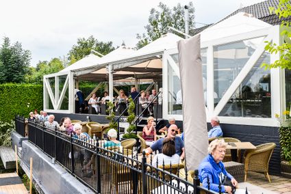
3741LC Baarn -
Leersumse Veld
Leersumse Veld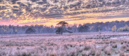
3956 KW LEERSUM -
Vechtstreekmuseum Maarssen
Vechtstreekmuseum Maarssen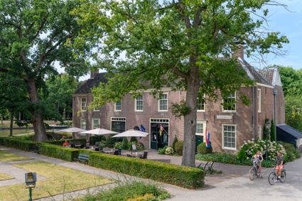
3601 GH Maarssen -
Restaurant La Montagne
Restaurant La Montagne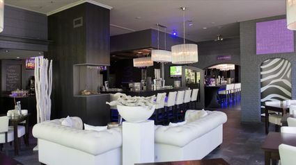
3911 SC Rhenen -
Linschoten country Estate
Linschoten country Estate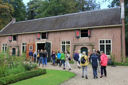
3461 AC Linschoten -
Vianen
Vianen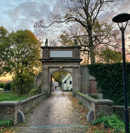
Vianen -
Buiten in de Kuil - Lage Vuursche
Buiten in de Kuil - Lage Vuursche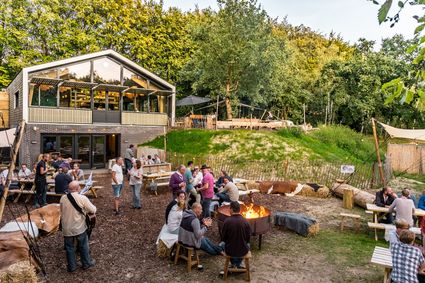
3749 AW Lage Vuursche -
Blik & Burgers playground and restaurant
Blik & Burgers playground and restaurant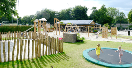
3703 DZ Zeist -
TOP trainstation Driebergen-Zeist
TOP trainstation Driebergen-Zeist
Stationsplein, Driebergen
3972 NG Driebergen Rijsenburg -
Landgoed Zuylestein
Landgoed Zuylestein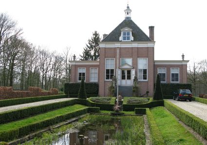
3956 CH Leersum -
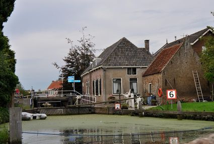
Goejanverwelle lock
Goejanverwelle lock
The Goejanverwelle lock and the Enkele Wiericke lock on the Hollandse Ijssel played a key role in the Disaster Year. Together with the lock at Nieuwerbrug on the Oude Rijn, they formed the inlet to the Langeweide polder, which was the narrowest section of the Waterline. The locks were opened on 17 June 1672 – just in time to halt the advance of the French, who had already captured Oudewater and marched right up to the edge of the hastily flooded Waterline. With great promptitude, the commander of the garrison at Goejanverwelle, the Count of Horn, gave the order to raise sconces and fortifications to defend the locks. For the moment, the Waterline was safe!
3467 PR Hekendorp -
-
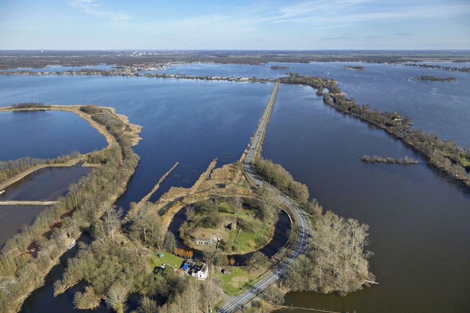
Grebbe line
Grebbe line
3927 EJ Renswoude -
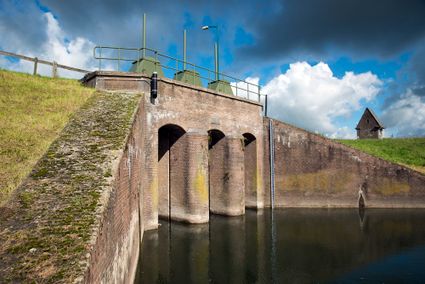
Inundation lock at Wijk bij Duurstede
Inundation lock at Wijk bij Duurstede
In 1870, the Kromme Rijn was given a key role in the New Dutch Waterline. Back then, it took almost a month to flood the area around Utrecht. This had to be speeded up. To this end, the river was widened, its bends were straightened and locks and dams were built. Near Wijk bij Duurstede, a large inundation lock was built that made Wijk bij Duurstede the ‘tap’ with which to turn on the New Dutch Waterline. This reduced the time needed to flood the inundation areas to between 4 and 12 days. The inlet is still used daily to transport fresh water to the city of Utrecht and the river Vecht.
3961CH Wijk bij Duurstede -
-
Wilhelmina city park
Wilhelmina city park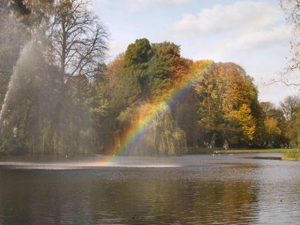
3581 NP Utrecht -
Tobacco Cultivation Museum
Tobacco Cultivation Museum
Burg. Jhr. H. v.d. Boschstraat 46
3958 CD Amerongen -
Fortress Nieuwersluis
Fortress Nieuwersluis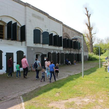
Rijksstraatweg 7B
3631 AA Nieuwersluis -
Fort Honswijk
Fort Honswijk
Fort Honswijk, situated on the Lek River, is one of the most prominent forts of the New Dutch Waterline. Fort Honswijk's tower (built between 1841 and 1848) is the oldest and largest in the Waterlinie and possesses singular architectural beauty. Fort Honswijk was designed to stop the enemy from crossing the Lekdijk dike and to close off the Lek River in cooperation with Fort Everdingen on the opposite banks of the Lek.
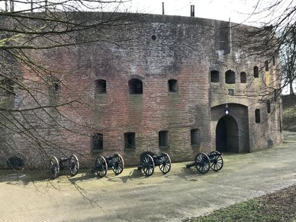
3998 NJ Schalkwijk -
-
De Kastanjeboom
De Kastanjeboom
3751 LC Bunschoten -
Wineyard Hoog Beek & Royen
Wineyard Hoog Beek & Royen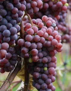
3708JA Zeist -
TOP Nationaal Tree museum Gimborn
TOP Nationaal Tree museum Gimborn
3941 BZ Doorn -
Heidestein Estate
Heidestein Estate
3708 WN Zeist