odp
265 to 288 of 302 locations
-
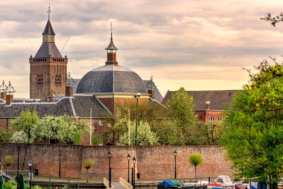
Landgoed Bredius
Landgoed Bredius
3443 BG Woerden -
De Hooge Vuursche Castle
De Hooge Vuursche Castle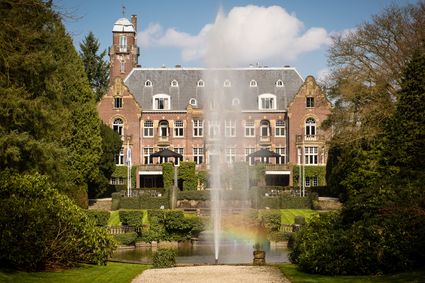
3744 KC Baarn -
Beauforthuis
Beauforthuis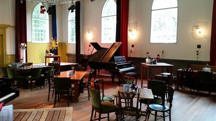
3711 AB Austerlitz -
Centraal Museum
Centraal Museum
The Centraal Museum is your gateway to art and culture from the world of Utrecht. From Rietveld to the Utrecht Caravaggists, from Dick Bruna to Moesman and from Viktor & Rolf to the centuries-old Utrecht ship. A museum which leaves you inspired time after time. The museum has been housed in this medieval cloister on the Nicolaaskerkhof since 1921 and currently consists of an eclectic collection of buildings with a large courtyard at their centre. It’s a lovely place to wander through hallways and stairwells, and where you can be surprised by the various exhibitions.
Collection
The museum has the largest collection of Rietveld pieces in the world, and shows the work of the world-famous Dick Bruna. The collection of old art is also worthwhile with work from Jan van Scorel, Abraham Bloemaert and Hendrick ten Brugghen. Besides the work of those Dutch icons, the Centraal Museum provides a broad overview of 2.000 years turbulent history, is also the ‘present’ a central theme with current fashion, design and visual art are high on the agenda.Studio Dick Bruna
A special part of the Central Museum is the studio of Dick Bruna, one of the Netherlands’ most famous illustrators and graphic designers. For the last 30 years of his career, he worked at his studio in the centre of Utrecht daily. This was where he created his illustrations and stories, surrounded by personal memories, photos of memorable encounters, gifts from fans and letters from fellow artists.Online tickets
Skip the queue and order your tickets online. You will receive your ticket by email and showing it on your smartphone at the entrance of the museum is sufficient.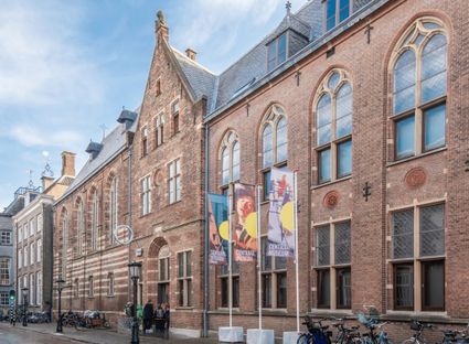
Agnietenstraat 1
3512 XA Utrecht -
-
Tourist Information Point Leerdam
Tourist Information Point Leerdam
Leerdam, who has not heard about this beautiful city? Since 1765 the Glasscapital of the Netherlands and the whole world eats our Leerdammer Cheese. If you're looking for culture, good food, sailing, shopping, walking or cycling? The city center of Leerdam has it all!
Are you looking for information about Leerdam, tips and ideas, bicycle or walking routes? Come visit us in the Tourist Information Office in Leerdam. We are happy to help you find your way around Leerdam.
4141 AV Leerdam -
-
Windmill Ter Leede
Windmill Ter Leede
Provinciale weg 2
4142 LD Leerdam -
Prattenburg Estate
Prattenburg Estate
3911 RW Rhenen -
Pannenkoekenhuis de Grebbeberg
Pannenkoekenhuis de Grebbeberg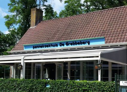
3911 AV Rhenen -
Amaliastein
Amaliastein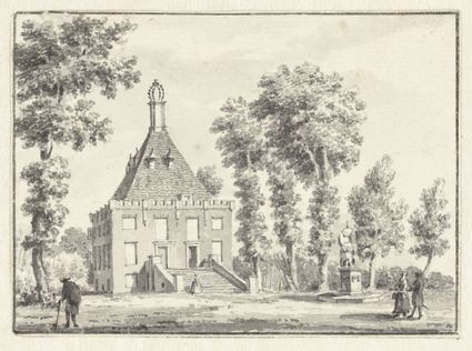
Daunstraat 26
4133 JE Vianen -
Buiten in de Kuil - Lage Vuursche
Buiten in de Kuil - Lage Vuursche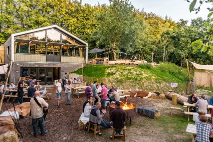
3749 AW Lage Vuursche -
Bike Boat Eemlijn
Bike Boat Eemlijn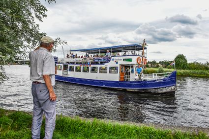
Eemweg 72 (tussen fietsknooppunten 17 en 64)
3741 LC Baarn -
Mill de Hoop
Mill de Hoop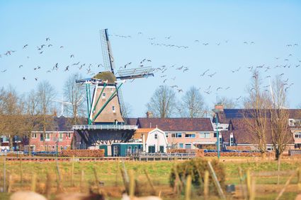
3752 CL Bunschoten-Spakenburg -
Castle Slot Zuylen
Castle Slot Zuylen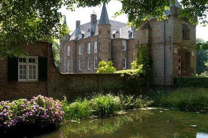
3611 AS Oud Zuilen -
Culture Factory
Culture Factory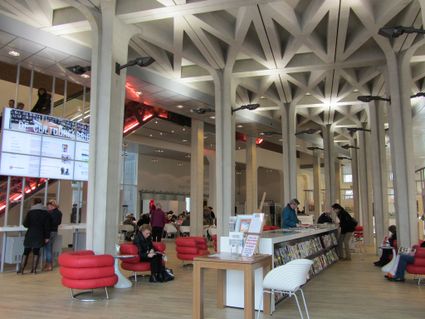
3901 TP Veenendaal -
Volmolen
Volmolen
Plantsoen Noord 2
3811 GH Amersfoort -
Fort de Batterijen
Fort de Batterijen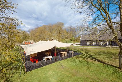
Overeindseweg 25
3439LP Nieuwegein -
Huis Doorn
Huis Doorn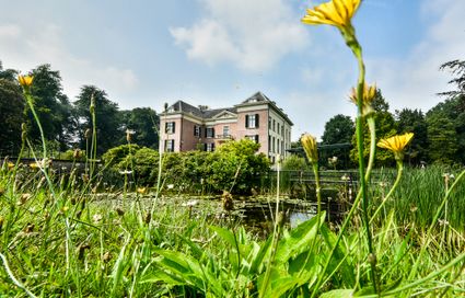
3941 MT Doorn -
TOP Marnemoende, IJsselstein
TOP Marnemoende, IJsselstein
2402PG IJsselstein -
Teahouse Mon-Chouette
Teahouse Mon-Chouette
3831 JZ Leusden -
Wilhelmina city park
Wilhelmina city park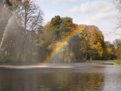
3581 NP Utrecht -
Landgoed Ginkelduin
Landgoed Ginkelduin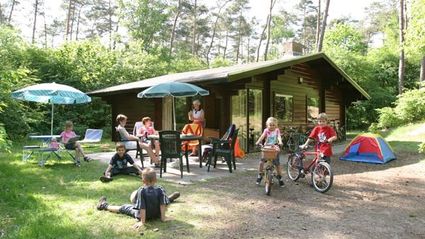
3956 KD Leersum -
National Military Museum
National Military Museum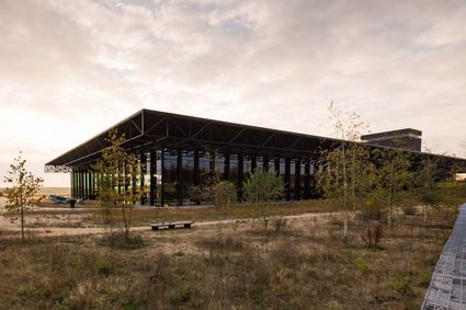
3768 MX Soest -
Lunchrestaurant Het Broodlokaal
Lunchrestaurant Het Broodlokaal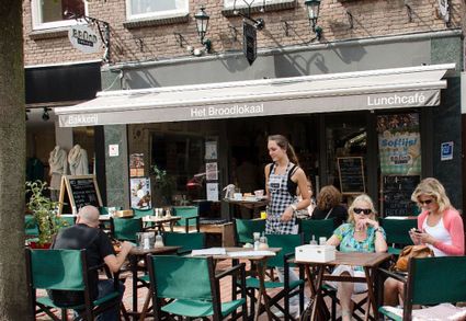
Slotlaan 247
3701 GG ZEIST -
Air Base Park Soesterberg
Air Base Park Soesterberg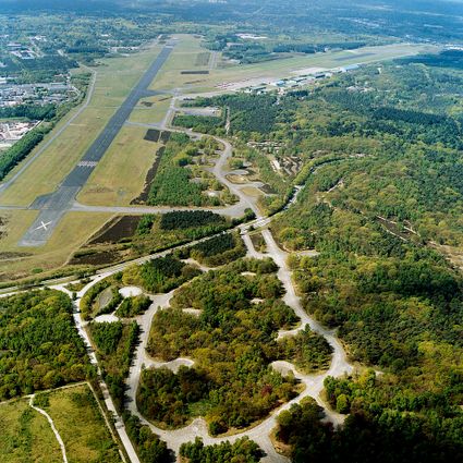
3768 MX Soest