odp
241 to 264 of 301 locations
-
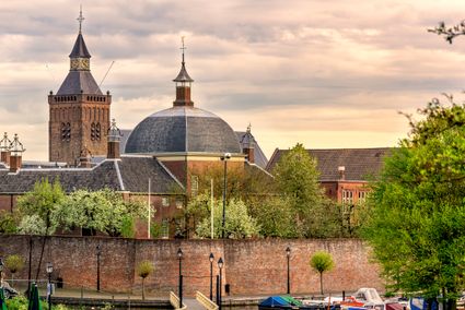
TOP Vinkeveense Plassen, Vinkeveen
TOP Vinkeveense Plassen, Vinkeveen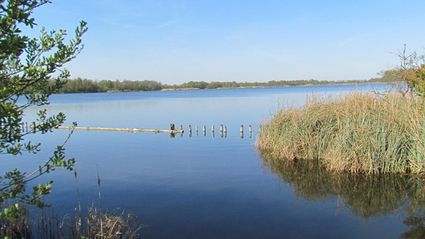
3645DA Vinkeveen -
Cheese Warehouse | Cheese Experience
Cheese Warehouse | Cheese Experience
Emmakade 6A
3441 AJ Woerden -
Renswoude Castle
Renswoude Castle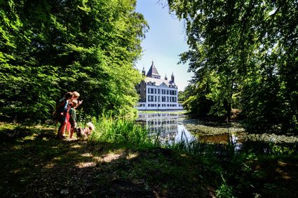
3927BA Renswoude -
Linschoten country Estate
Linschoten country Estate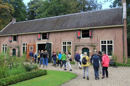
3461 AC Linschoten -
Koppelpoort Amersfoort
Koppelpoort Amersfoort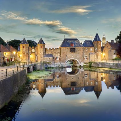
3811 MG Amersfoort -
Ivn excursie Kwintelooyen
Ivn excursie Kwintelooyen
3911 TA Rhenen -
Eemlandhoeve
Eemlandhoeve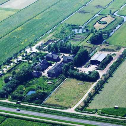
3752 LK Bunschoten-Spakenburg -
Blik & Burgers playground and restaurant
Blik & Burgers playground and restaurant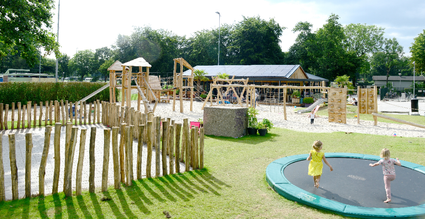
3703 DZ Zeist -
Treek-Henschoten Estate
Treek-Henschoten Estate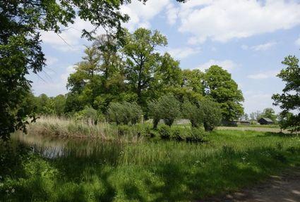
3832 RS Leusden -
Soestdijk Palace
Soestdijk Palace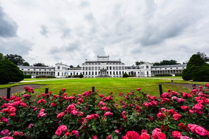
3744 AA Baarn -
TOP Island of Schalkwijk
TOP Island of Schalkwijk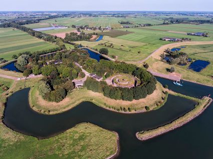
3998 JE Schalkwijk -
TOP Groeneveld Castle
TOP Groeneveld Castle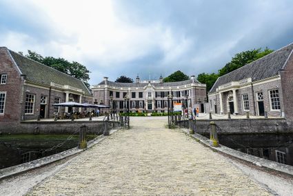
3744 ML Baarn -
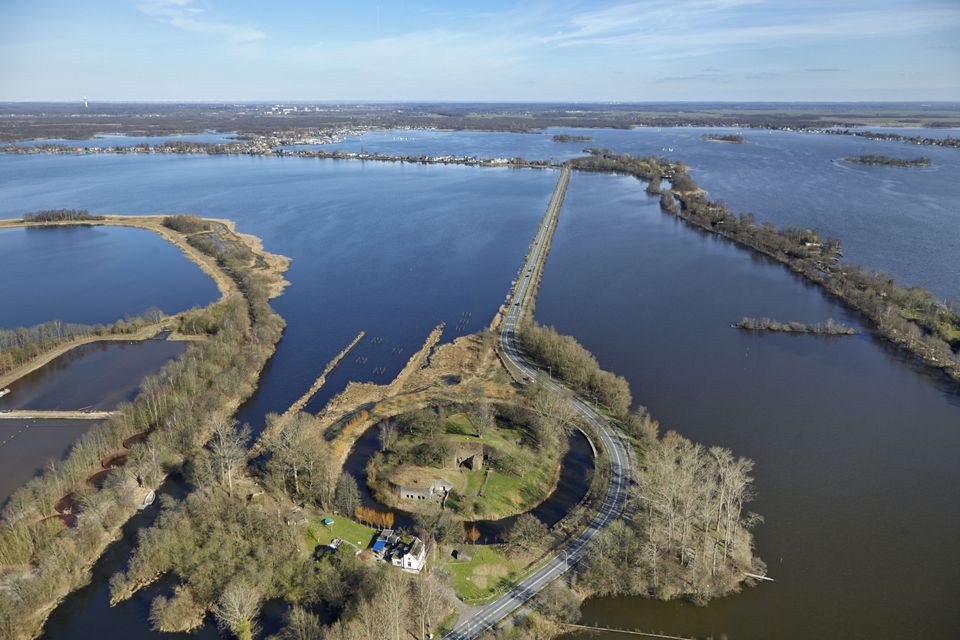
Fort Honswijk
Fort Honswijk
Fort Honswijk, situated on the Lek River, is one of the most prominent forts of the New Dutch Waterline. Fort Honswijk's tower (built between 1841 and 1848) is the oldest and largest in the Waterlinie and possesses singular architectural beauty. Fort Honswijk was designed to stop the enemy from crossing the Lekdijk dike and to close off the Lek River in cooperation with Fort Everdingen on the opposite banks of the Lek.
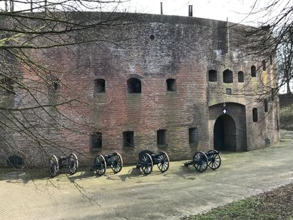
3998 NJ Schalkwijk -
-
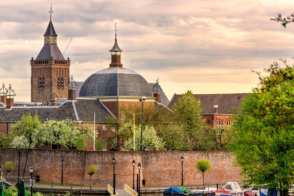
Tourist Information Point Leerdam
Tourist Information Point Leerdam
Leerdam, who has not heard about this beautiful city? Since 1765 the Glasscapital of the Netherlands and the whole world eats our Leerdammer Cheese. If you're looking for culture, good food, sailing, shopping, walking or cycling? The city center of Leerdam has it all!
Are you looking for information about Leerdam, tips and ideas, bicycle or walking routes? Come visit us in the Tourist Information Office in Leerdam. We are happy to help you find your way around Leerdam.
4141 AV Leerdam -
-
Fort de Batterijen
Fort de Batterijen
Overeindseweg 25
3439LP Nieuwegein -
Baarn Forest
Baarn Forest
3744 MA Baarn -
De Kastanjeboom
De Kastanjeboom
3751 LC Bunschoten -
The Amersfoort Boulder
The Amersfoort Boulder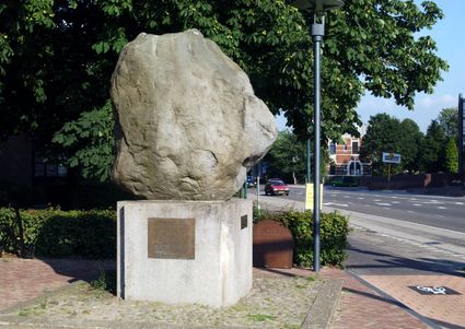
3800 Amersfoort -
Brasserie Soesterduinen
Brasserie Soesterduinen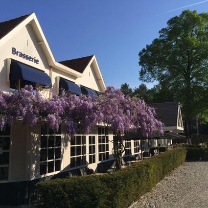
3768 MD Soest -
TOP De Linielanding
TOP De Linielanding
3433 NV Nieuwegein -
TOP Het Gagelgat
TOP Het Gagelgat
3768 HD Soest -
Leersumse Veld
Leersumse Veld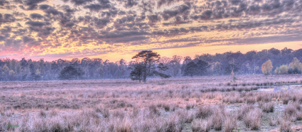
3956 KW LEERSUM -
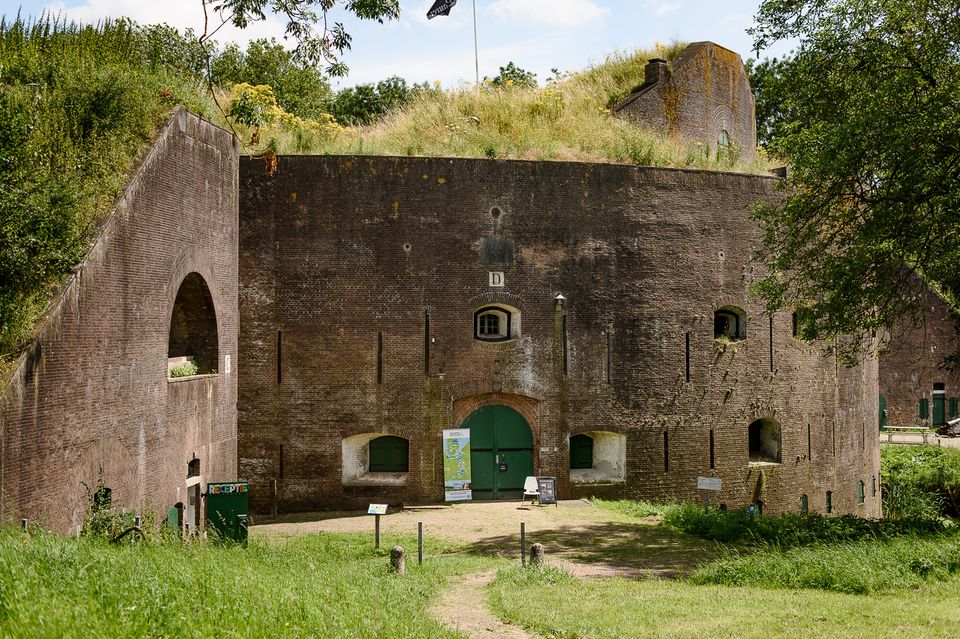
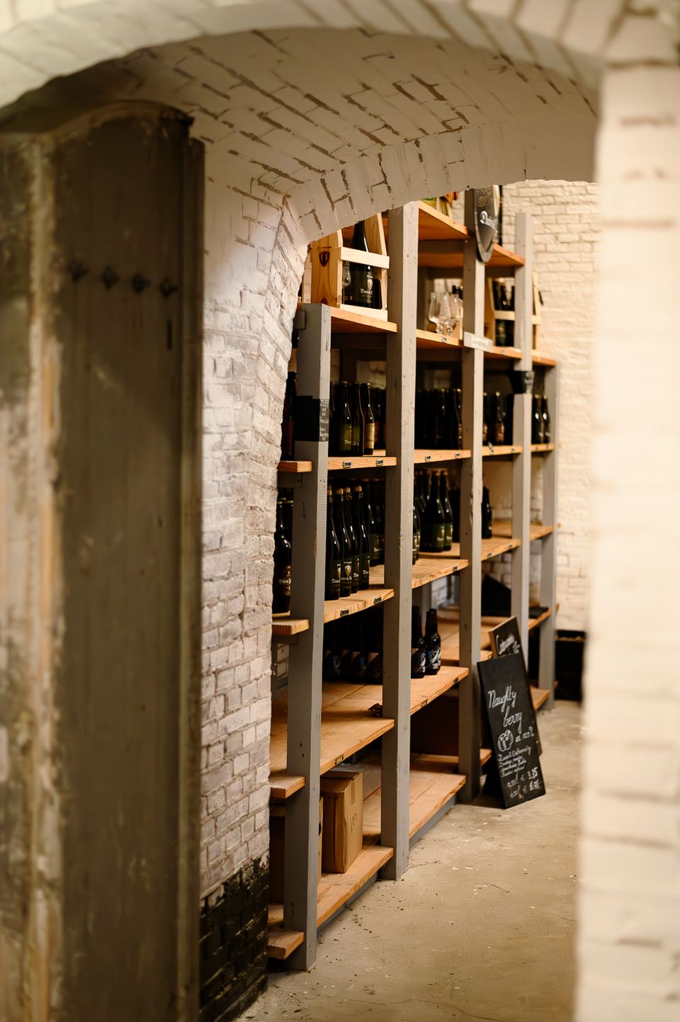
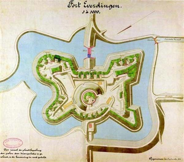
Fort Everdingen
Fort Everdingen
Anyone who delves into the history of the Vijfheerenlanden will soon discover that the now very quiet and peaceful area has a history filled with clashing weapons. Destroyed towns and castles, plundering and domestic (and foreign) wars: every town and village has its own story to tell. Everdingen was put on the Dutch military map in the 19th Century as part of the New Dutch Water Line.
The New Dutch Water Line ran from the former Zuiderzee near Muiden to the Biesbosch near Werkendam and consisted of a variety of defences and inundation fields (areas that could be placed underwater). Fort Everdingen was built between 1842 and 1847 and, together with Fort Honswijk, formed the Lek access on the other side of the Lek. The surrounding land could be flooded using inundation locks. The fort itself was walled and well defended by a variety of casemates. The new Dutch Water Line was prepared 3 times. At the end of World War II, German forces used the line as a defence against the advancing Allies. Fort Everdingen lost its defensive function after the war. The military Explosive Ordinance Disposal service used the fort until 2014. It’s now home to the German & Lauret brewery, which uses the special water filtering system in their brewery. It’s also an over-wintering place for many bats.
Further reading: Batestein Castle, Hagestein Castle, Vianen Castle, Brederode statue, Everdingen village centre, Vianen water tower.
4121 KK Everdingen -
-
TOP De Kuil van Drakensteyn
TOP De Kuil van Drakensteyn
3749 AW Lage Vuursche