odp
25 to 48 of 295 locations
-
Dutch Water Defence Lines
Dutch Water Defence Lines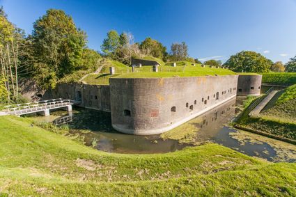
De Hollandse Waterlinies
Utrecht -
TOP Groeneveld Castle
TOP Groeneveld Castle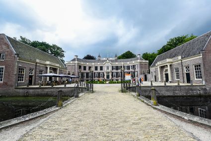
3744 ML Baarn -
Breukelen
Breukelen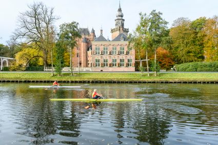
-
Fort 't Hemeltje
Fort 't Hemeltje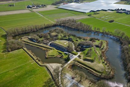
3992 LX Houten -
Bungalowpark 't Eekhoornnest
Bungalowpark 't Eekhoornnest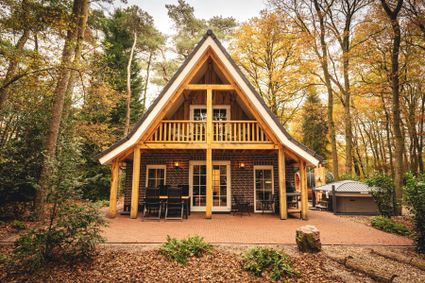
3768 HL Soest -
Fort Tienhoven
Fort Tienhoven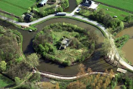
3612 NB Tienhoven -
TOP De Generaal
TOP De Generaal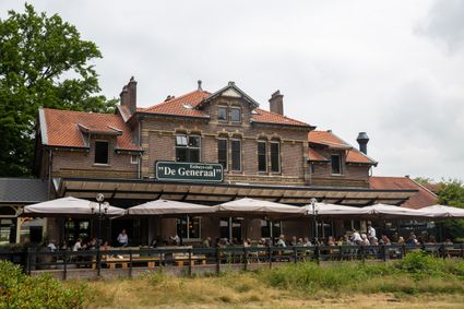
3743 JL Baarn -
Fort Maarsseveen
Fort Maarsseveen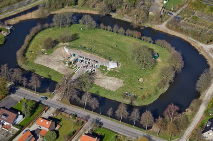
Herenweg 2
3602 AM Maarssen -
Hotel Landgoed Zonheuvel****
Hotel Landgoed Zonheuvel****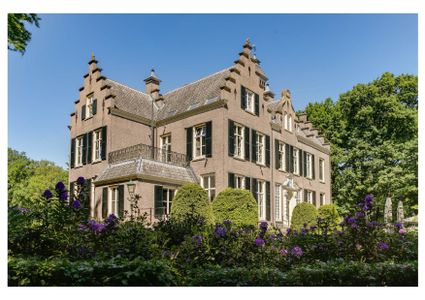
3941 EP Doorn -
Café-Restaurant De Lage Vuursche
Café-Restaurant De Lage Vuursche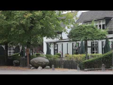
3749 AD Lage Vuursche -
Wilhelmina city park
Wilhelmina city park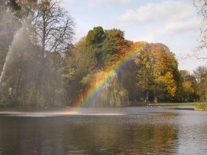
3581 NP Utrecht -
TOP teahouse Monchouette
TOP teahouse Monchouette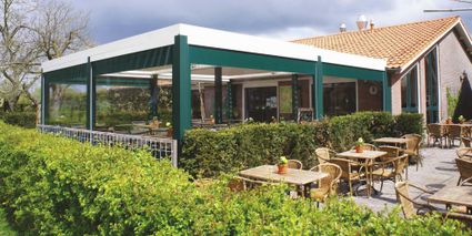
3831 JZ Leusden -
The Horse Sanctuary
The Horse Sanctuary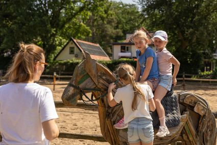
3768 HL Soest -
Fortress Nieuwersluis
Fortress Nieuwersluis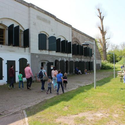
Rijksstraatweg 7B
3631 AA Nieuwersluis -
Country Estate Bergse Bossen***
Country Estate Bergse Bossen***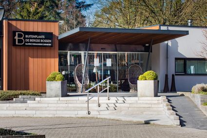
3971 GM Driebergen-Rijsenburg -
Nederlands Zilvermuseum
Nederlands Zilvermuseum
2871 CZ Schoonhoven -
Visitor Centre De Boswerf
Visitor Centre De Boswerf
3708 BR Zeist -
Fort Lunet aan de Snel
Fort Lunet aan de Snel
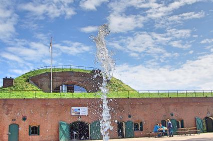
Somewhat hidden in the woods along Gedekte Gemeenschapsweg between Fort Honswijk and Werk aan de Korte Uitweg is the small but atmospheric Lunet aan de Snel. The earthen rampart allowed defenders to repel an attack on Fort Honswijk from the north-east. In addition, its guns covered parts of the Lekdijk – something that could not be achieved from Fort Honswijk.
These days, the fort houses an exhibition that illustrates the key role that water plays in our community and its unique properties.
3998 NJ Schalkwijk -
-
Large Pump/Vianen Town Pump
Large Pump/Vianen Town Pump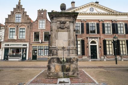
Voorstraat 54
4132 AS Vianen -
Baarn Forest
Baarn Forest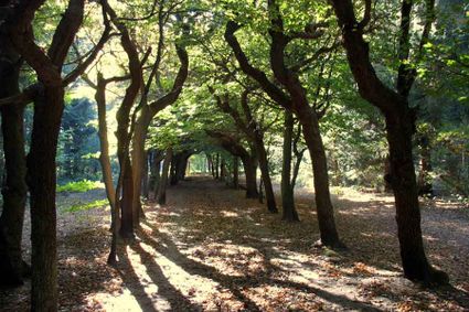
3744 MA Baarn -
Groene Entree Kaapse Bossen
Groene Entree Kaapse Bossen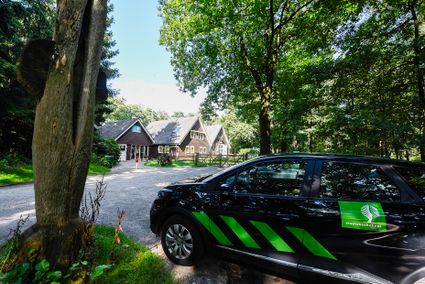
3941 MN DOORN -
Windmill Windhond
Windmill Windhond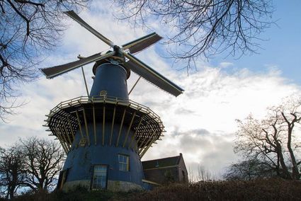
3447 GR Woerden -
TOP Ameide
TOP Ameide
4233CL Ameide -
Fort bij Vechten - Waterline Museum
Fort bij Vechten - Waterline Museum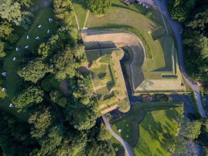
Achterdijk 2
Bunnik