odp
265 to 288 of 301 locations
-
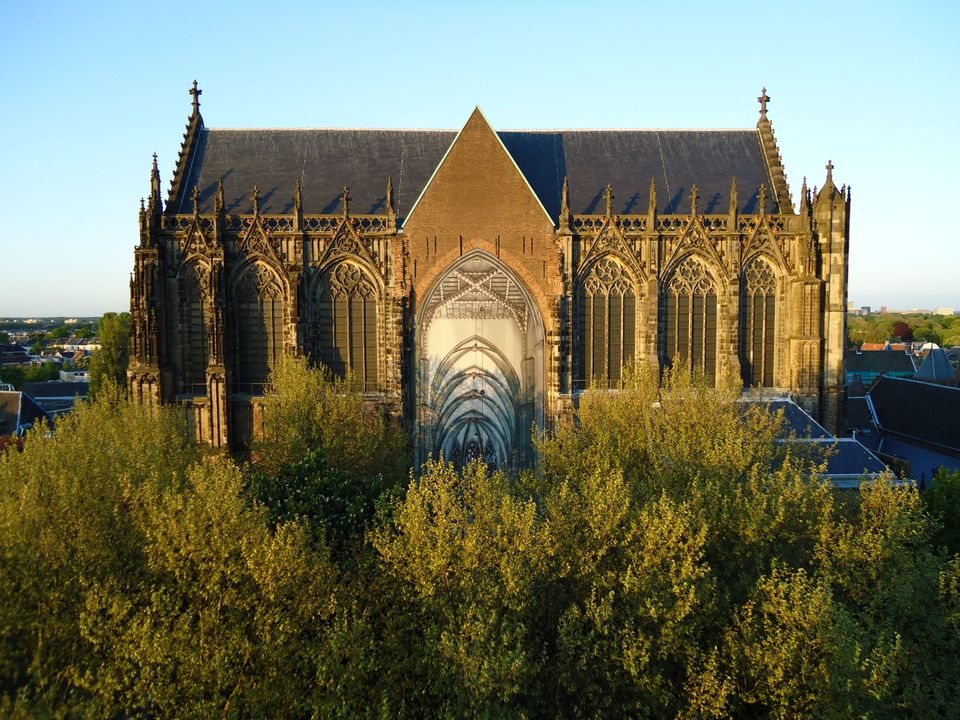
Dom Church
Dom Church
The gothic Dom Church was built as a cathedral for the bishop of Utrecht and dedicated to St. Maarten.
The interior with many lavishly decorated tombs is impressive. The Dom church draws many people daily for a guided tour or a moment of silence and peace. The free Saturday afternoon concerts (3.30 pm) have been a household word in Utrecht for over thirty years.

Domplein 0
3512 JD Utrecht -
-
Ouwehands Zoo Rhenen
Ouwehands Zoo Rhenen
3911 AV Rhenen -
Huis Doorn
Huis Doorn
3941 MT Doorn -
Geofort
Geofort
Explore the exciting old fort island at GeoFort. Plenty of experiments await both inside and outside: wander the dark subterranean tunnels, make your way through the maze or use the lift to descend 6,000 kilometres into the earth. Use the maps to find your way around the virtual Minecraft world or visit the virtual sandpit, where you can make a volcano erupt! Feel like having a break? Our pancake restaurant, De WereldPan, has an extensive food and drinks menu.
Geo
Nieuwe Steeg 74
4171 KG Herwijnen -
-
TOP Museum Spakenburg
TOP Museum Spakenburg
Spakenburg -
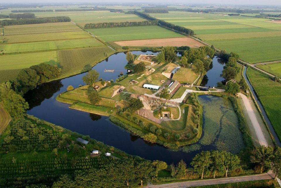
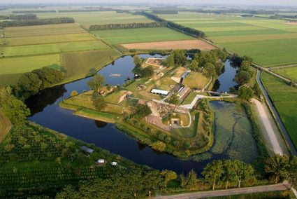
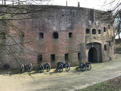
Fort Honswijk
Fort Honswijk
Fort Honswijk, situated on the Lek River, is one of the most prominent forts of the New Dutch Waterline. Fort Honswijk's tower (built between 1841 and 1848) is the oldest and largest in the Waterlinie and possesses singular architectural beauty. Fort Honswijk was designed to stop the enemy from crossing the Lekdijk dike and to close off the Lek River in cooperation with Fort Everdingen on the opposite banks of the Lek.
3998 NJ Schalkwijk -
-
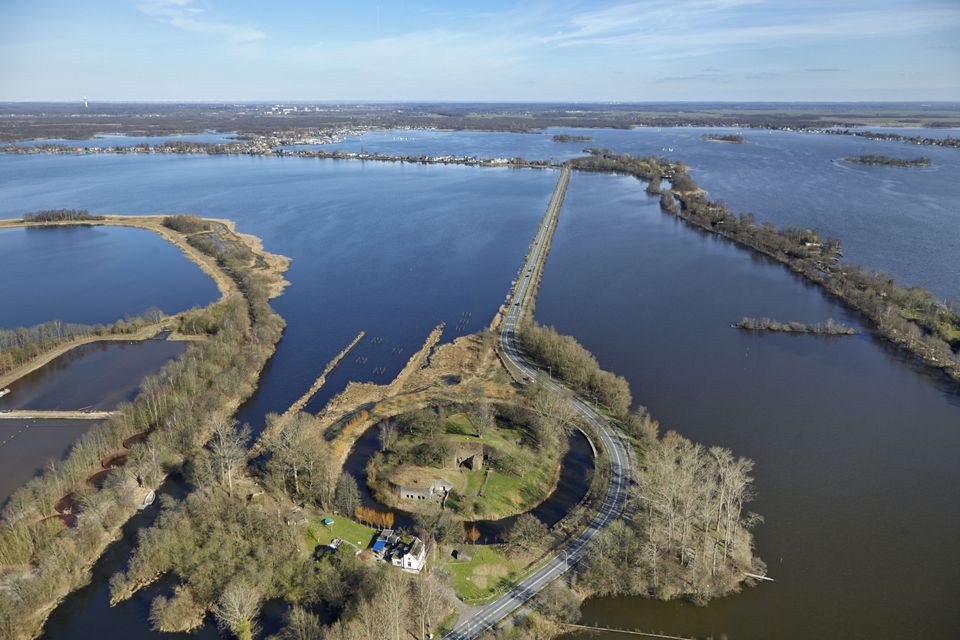
Wiel van Bassa
Wiel van Bassa
Diefdijk -
Nyenrode Business University
Nyenrode Business University
3620 AC Breukelen -
Winkel van Sinkel
Winkel van Sinkel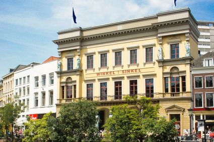
Oudegracht 158
3511 AZ Utrecht -
Peking Garden
Peking Garden
-
Mouse Towers | Leerdam
Mouse Towers | Leerdam
4141 BE Leerdam -
De Wildenburg pancake farm
De Wildenburg pancake farm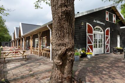
3744 MK Baarn -
The Green House
The Green House
3822 NA Amersfoort -
Geertje’s Hoeve
Geertje’s Hoeve
Thematerweg 5
3455 SM Utrecht -
Vechtstreekmuseum Maarssen
Vechtstreekmuseum Maarssen
Diependaalsedijk 19
3601 GH MAARSSEN -
Rijn en Zon corn mill in the Vogelenbuurt
Rijn en Zon corn mill in the Vogelenbuurt
3524 CE Utrecht -
Castle Slot Zuylen
Castle Slot Zuylen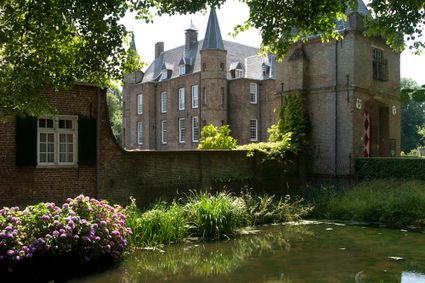
3611 AS Oud Zuilen -
Allurepark De Zeven Linden
Allurepark De Zeven Linden
3744 BC Baarn -
Pyramid of Austerlitz
Pyramid of Austerlitz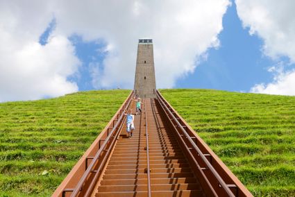
3931 MG Woudenberg -
Fortresses of the four Lunetten
Fortresses of the four Lunetten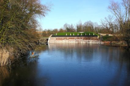
3524 SB Utrecht -
Molen Rijn en Lek
Molen Rijn en Lek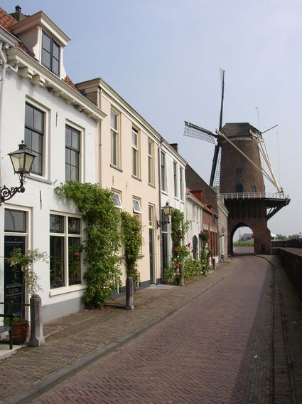
Dijkstraat 23
3961 AA Wijk bij Duurstede -
Recreatieboerderij De Kleine Weide
Recreatieboerderij De Kleine Weide
3927 CV Renswoude -
Zoo Amersfoort
Zoo Amersfoort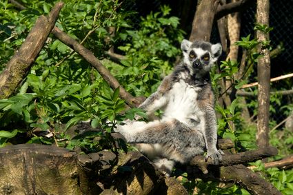
3819 AC Amersfoort -
St. Joriskerk (Church)
St. Joriskerk (Church)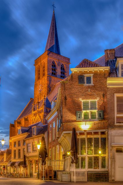
Hof 1
3811 CJ Amersfoort