odp
169 to 192 of 301 locations
-
Utrechtse Heuvelrug National Park
Utrechtse Heuvelrug National Park
-
Soesterduinen
Soesterduinen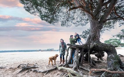
Foekenlaan 25
3768 BJ Soest -
National Glass Museum & Glass studio
National Glass Museum & Glass studio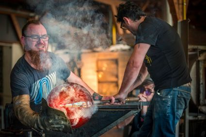
4142 LD Leerdam -
Castle Slot Zuylen
Castle Slot Zuylen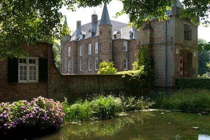
3611 AS Oud Zuilen -
Visitor Centre De Boswerf
Visitor Centre De Boswerf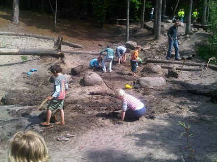
3708 BR Zeist -
Groene Entree & recreatie Doornse Gat
Groene Entree & recreatie Doornse Gat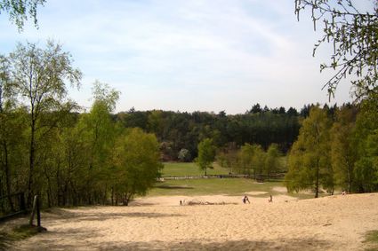
3941 MN DOORN -
Cheese Warehouse | Cheese Experience
Cheese Warehouse | Cheese Experience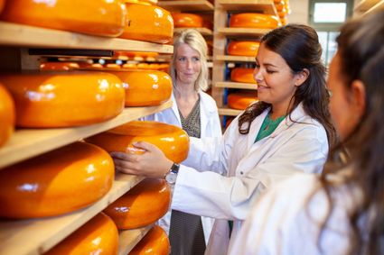
Emmakade 6A
3441 AJ Woerden -
Noorderpark Ruigenhoek
Noorderpark Ruigenhoek
Utrecht -
Rope museum
Rope museum
3421 SZ Oudewater -
Recreatieboerderij De Kleine Weide
Recreatieboerderij De Kleine Weide
3927 CV Renswoude -
Brasserie Soesterduinen
Brasserie Soesterduinen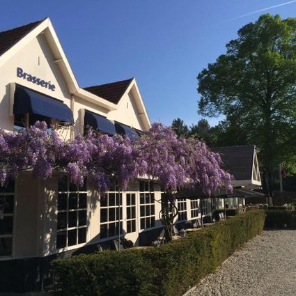
3768 MD Soest -
Statues in the Máximapark
Statues in the Máximapark
Utrecht -
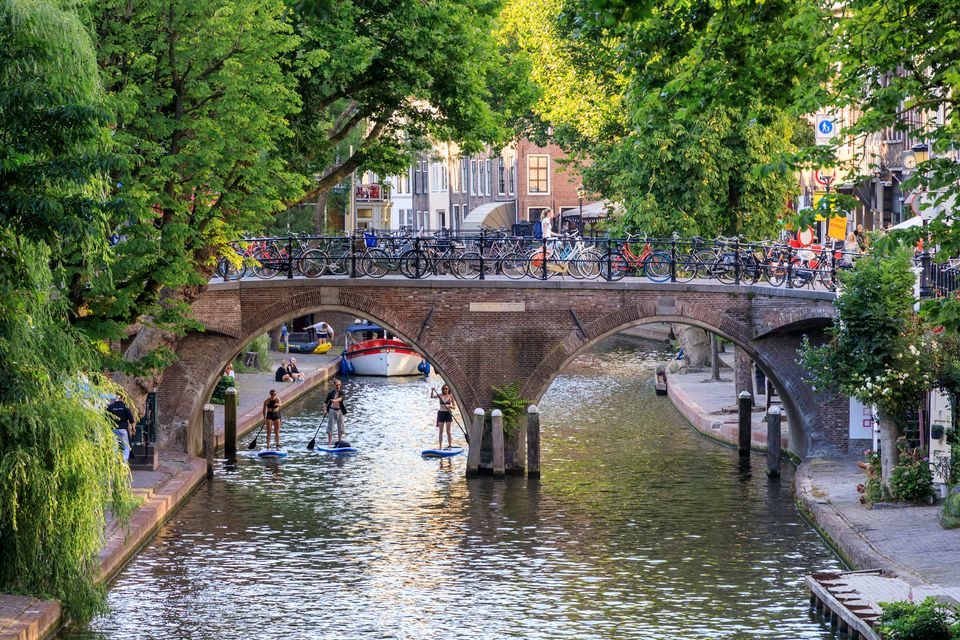
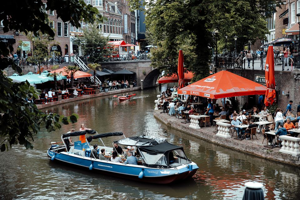
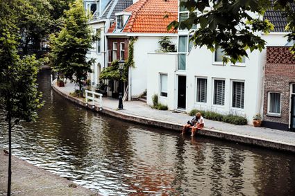
Canals and shipyards
Canals and shipyards
The Utrecht canals with their wharves and wharf cellars are unique in the world.
The 12th Century Oudegracht was built to change the course of the Oude Rijn river. Connecting the river Vecht in the north to the Vaartsche Rijn in the south, the Oudegracht was destined to become an elongated harbour. Large city castles were built along the canal and in the 13th Century, shipyards were built as second streets at water level. The deep cellars, serving as storage spaces, ran through to below the houses. Today, the canals and shipyards are home to shops, restaurants and private residences.
3511 AZ Utrecht -
-
Nederlands Zilvermuseum
Nederlands Zilvermuseum
2871 CZ Schoonhoven -
Kerckebosch Castle****
Kerckebosch Castle****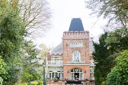
3708 AA Zeist -
Hotel Landgoed Zonheuvel****
Hotel Landgoed Zonheuvel****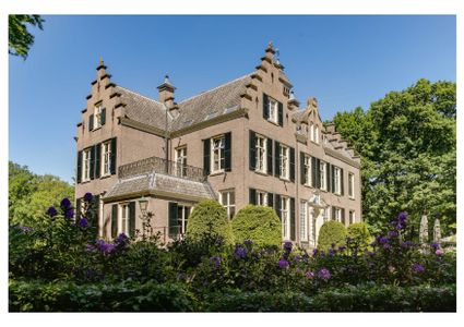
3941 EP Doorn -
TOP De Dennen
TOP De Dennen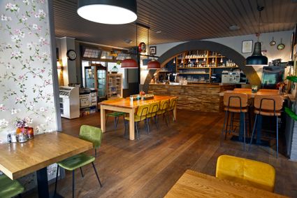
3927AW Renswoude -
Delicacies from Zeist
Delicacies from Zeist
3701 Zeist -
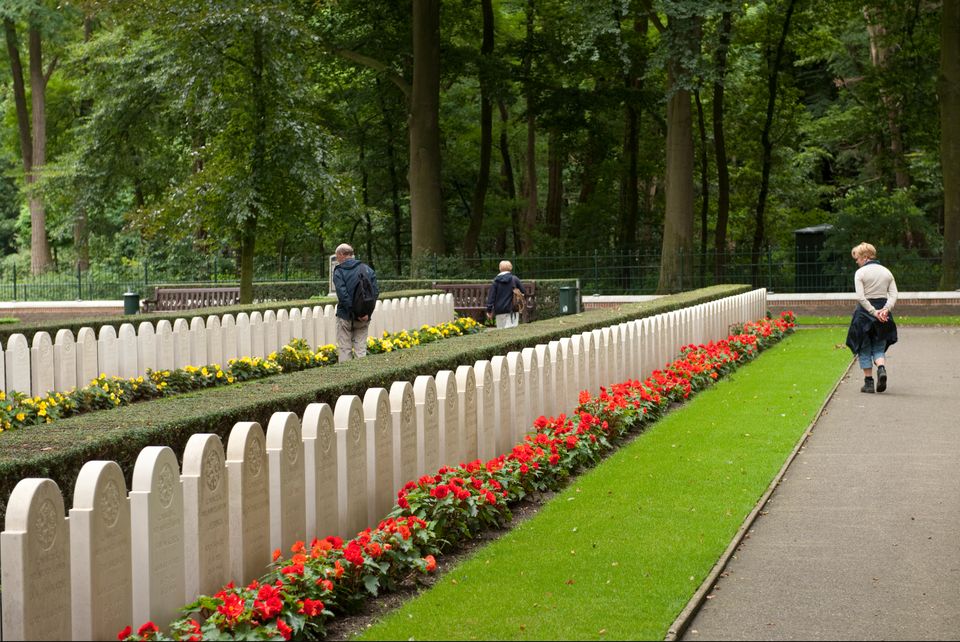
Grebbeberg Military Cemetery
Grebbeberg Military Cemetery
The largest battle of the Dutch army in WWII took place on Grebbeberg Hill. Here poorly armed and untrained men held their ground against a very powerful and ruthless opponent for three days. Grebbeberg Military Cemetery is the final resting place for more than 800 soldiers and 1 citizen who perished here in the Second World War. It is located on Grebbeberg Hill at Rhenen, and was a battlefield of just a few square kilometres, but is full of stories of the courage of desperation in the Netherlands.
The information centre, with an exhibition about the events on Grebbeberg Hill during “The Battle for Grebbeberg Hill” in May 1940, is open daily from 9:00 am to 5:00 pm.

3911 AV Rhenen -
-
Molen Rijn en Lek
Molen Rijn en Lek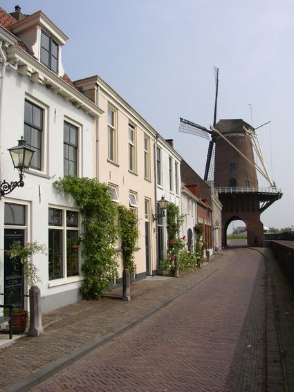
Dijkstraat 23
3961 AA Wijk bij Duurstede -
Restaurant La Montagne
Restaurant La Montagne
3911 SC Rhenen -
TOP Het Gagelgat
TOP Het Gagelgat
3768 HD Soest -
Amersfoort Zoo
Amersfoort Zoo
3819 AC Amersfoort -
Windmill Windhond
Windmill Windhond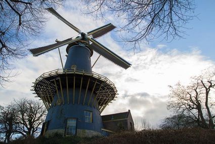
3447 GR Woerden