odp
169 to 192 of 301 locations
-
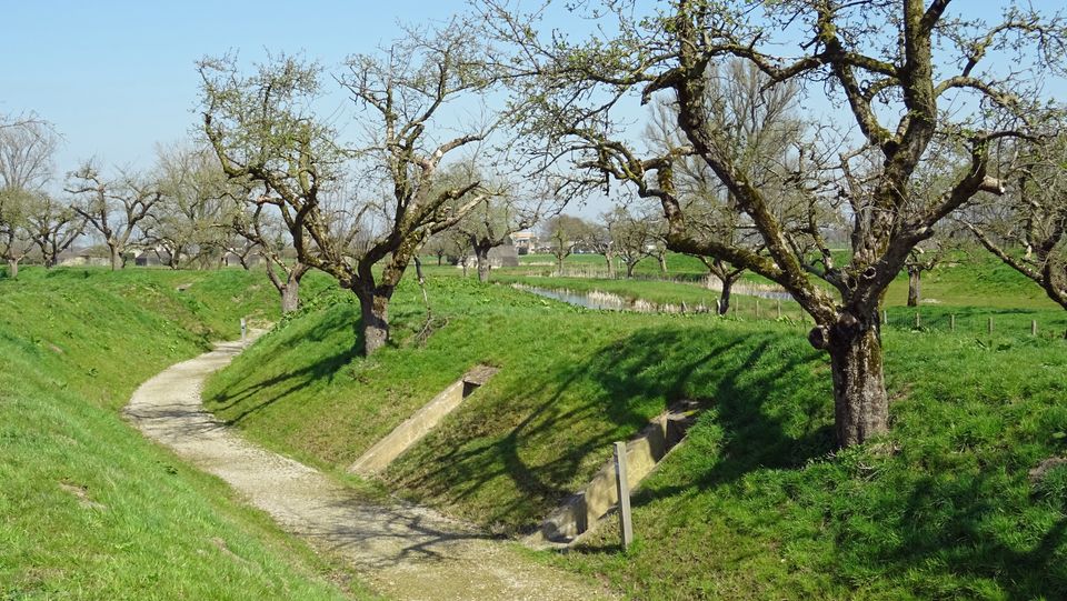
Fort Werk aan de Groeneweg
Fort Werk aan de Groeneweg
Walking through the historic trenches of Werk aan de Groeneweg is like a walk back in time. The defence structure still has its original configuration. The infantry set-up in World War One consisted of a double trench with earthen walls, 55 group shelters and lovely fruit trees.
The grounds are a fantastic playground for children. You can have a great time here roaming around, crawling through a trench, playing hide and seek and participating in an exciting search and experience walk of about 2 km, with soldier Vendrik as your guide.
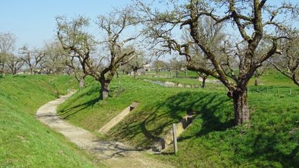
3998 Schalkwijk -
-
Fort Waver-Amstel
Fort Waver-Amstel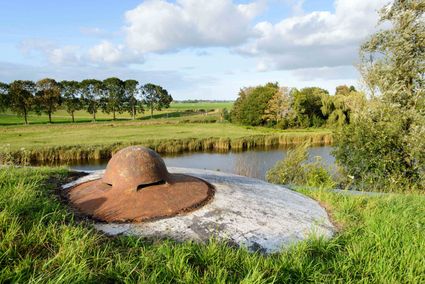
3646 AS Nessersluis -
Buiten in de Kuil - Lage Vuursche
Buiten in de Kuil - Lage Vuursche
3749 AW Lage Vuursche -
Beauforthuis
Beauforthuis
3711 AB Austerlitz -
Glass studio
Glass studio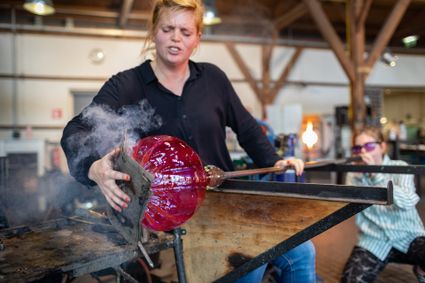
Zuidwal
4141 BE Leerdam -
Fort Ruigenhoek
Fort Ruigenhoek
3737 MR Groenekan -
Castle Groeneveld
Castle Groeneveld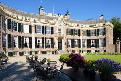
Groeneveld 2
3744 ML Baarn -
Proeverij de Azijnmakerij
Proeverij de Azijnmakerij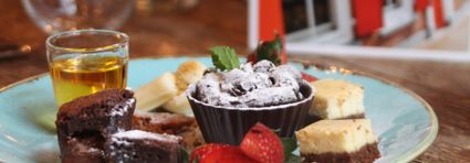
Zeist -
Eethuys-Café De Generaal - Baarn
Eethuys-Café De Generaal - Baarn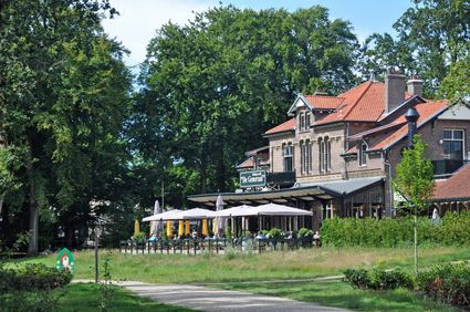
3743 JL Baarn -
Rijnauwen Fort
Rijnauwen Fort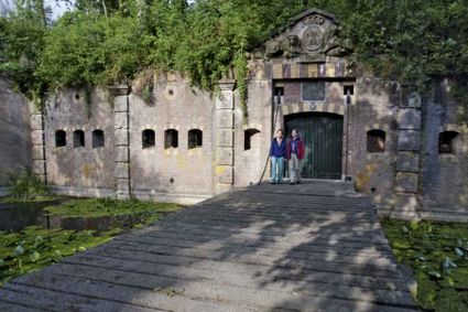
3981 HS Bunnik -
TOP Leerdam
TOP Leerdam
Lingedijk 8
4142 LD Leerdam -
Fort de Batterijen
Fort de Batterijen
Overeindseweg 25
3439LP Nieuwegein -
Bicycle Boat, stop NIeuwersluis
Bicycle Boat, stop NIeuwersluis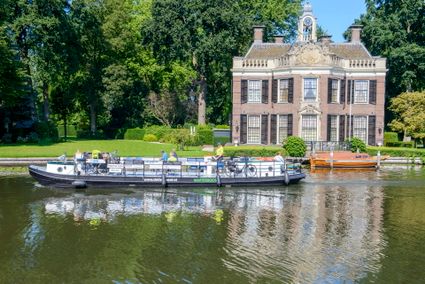
zandpad 9
3631 NK Nieuwersluis -
Hotel Landgoed Zonheuvel****
Hotel Landgoed Zonheuvel****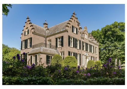
3941 EP Doorn -
Utrecht City Hall
Utrecht City Hall
Stadhuisbrug 1
3511 JK Utrecht -
VVV agentschap Breukelen
VVV agentschap Breukelen
Herenstraat 4
3621 AR Breukelen -
Fort de Batterijen
Fort de Batterijen
Overeindseweg 25
3439LP Nieuwegein -
TOP City harbour Wijk bij Duurstede
TOP City harbour Wijk bij Duurstede
Havenweg
3961 AW Wijk bij Duurstede -
Fort Jutphaas
Fort Jutphaas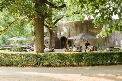
Fort Jutphaas 3
3439 LX Nieuwegein -
Stayokay Utrecht Centrum
Stayokay Utrecht Centrum
3512 AD Utrecht -
TOP Groot Zandbrink
TOP Groot Zandbrink
3831 SE Leusden -
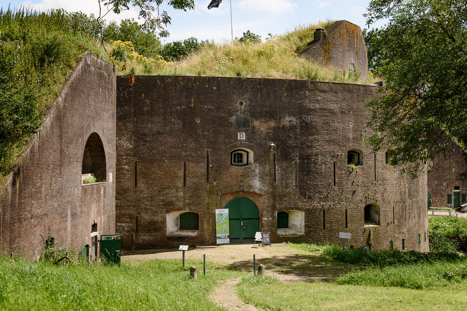
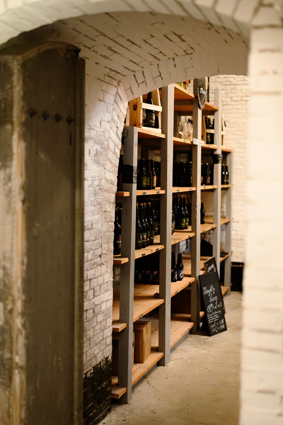
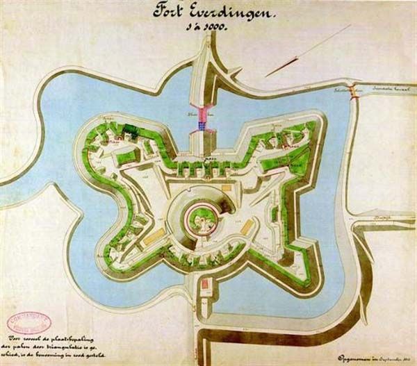
Fort Everdingen
Fort Everdingen
Anyone who delves into the history of the Vijfheerenlanden will soon discover that the now very quiet and peaceful area has a history filled with clashing weapons. Destroyed towns and castles, plundering and domestic (and foreign) wars: every town and village has its own story to tell. Everdingen was put on the Dutch military map in the 19th Century as part of the New Dutch Water Line.
The New Dutch Water Line ran from the former Zuiderzee near Muiden to the Biesbosch near Werkendam and consisted of a variety of defences and inundation fields (areas that could be placed underwater). Fort Everdingen was built between 1842 and 1847 and, together with Fort Honswijk, formed the Lek access on the other side of the Lek. The surrounding land could be flooded using inundation locks. The fort itself was walled and well defended by a variety of casemates. The new Dutch Water Line was prepared 3 times. At the end of World War II, German forces used the line as a defence against the advancing Allies. Fort Everdingen lost its defensive function after the war. The military Explosive Ordinance Disposal service used the fort until 2014. It’s now home to the German & Lauret brewery, which uses the special water filtering system in their brewery. It’s also an over-wintering place for many bats.
Further reading: Batestein Castle, Hagestein Castle, Vianen Castle, Brederode statue, Everdingen village centre, Vianen water tower.
4121 KK Everdingen -
-
Statues in the Máximapark
Statues in the Máximapark
Utrecht -
The Vuursche
The Vuursche
3749 Lage Vuursche