odp
265 to 288 of 299 locations
-
Stayokay hostel Utrecht-Bunnik
Stayokay hostel Utrecht-Bunnik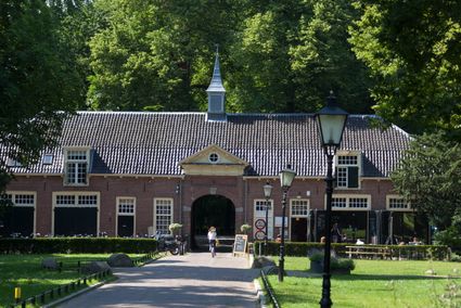
3981 HH Bunnik -
Boundary posts
Boundary posts
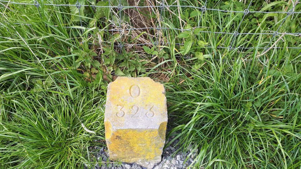
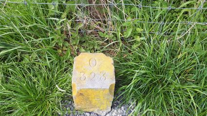
In around 1875, the Ministry of War erected some 350 boundary posts along the length of the Kromme Rijn. The blue stone posts, marked with the letter O (for Oorlog, the Dutch word for war) and a number, marked the new route for transporting water to the New Dutch Waterline. The posts used to line up with plot boundaries. Many have been removed over the years, but the water board has returned 18 of them to their original location along the towpath between Werkhoven and Odijk following the construction of an environmentally friendly riverbank.
Odijk -
-
Pausdam
Pausdam
3512 HN Utrecht -
Fort at 't Hemeltje
Fort at 't Hemeltje
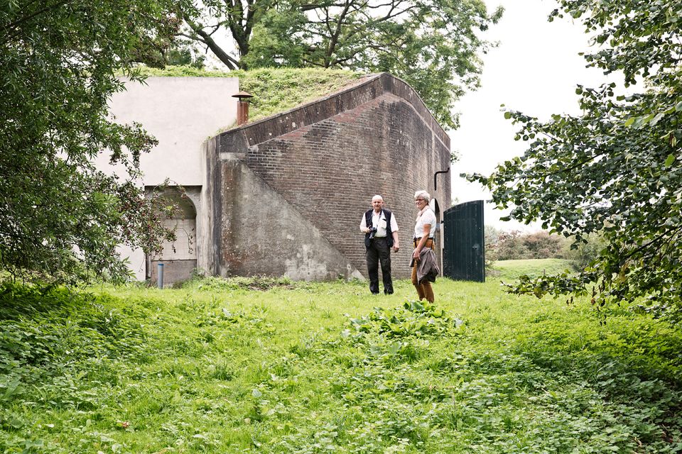
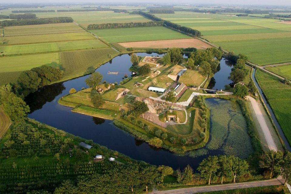
Fort 't Hemeltje dates from 1877-1881 and is the last built fort of the New Dutch Waterline. It defended a strip of land that could not be flooded and the 's-Hertogenbosch-Utrecht railway line. Nowadays, Fort bij 't Hemeltje is largely used as office space for various entrepreneurs who are active in the field of sustainability. The fort also offers shelter to (breeding) birds and bats.
There is a walking route around the fort and there is an exciting spy route with fun assignments for children. In addition, the fort is regularly open to the public, for example during Open Heritage Days.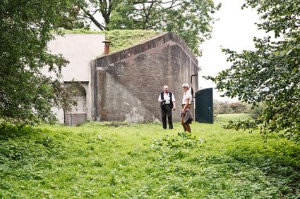
3992 LX Houten -
-
Fort Jutphaas
Fort Jutphaas
Fort Jutphaas 3
3439 LX Nieuwegein -
Recreatiepark De Lucht
Recreatiepark De Lucht
Barneveldsestraat 49
3927 CB Renswoude -
Slot Zeist
Slot Zeist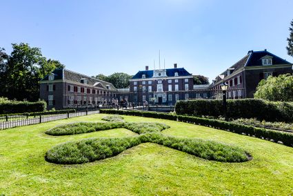
3703 CE Zeist -
Tobacco Cultivation Museum
Tobacco Cultivation Museum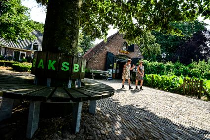
Burg. Jhr. H. v.d. Boschstraat 46
3958 CD Amerongen -
Groene Entree & recreatie Doornse Gat
Groene Entree & recreatie Doornse Gat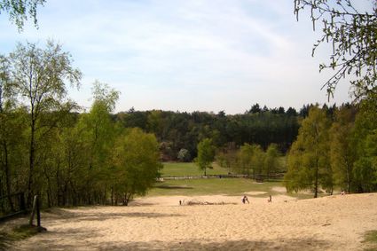
3941 MN DOORN -
TOP citypark Oudegein
TOP citypark Oudegein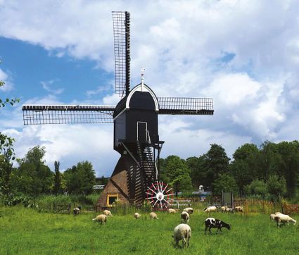
3432 NE Nieuwegein -
Spakenburg Harbour Museum
Spakenburg Harbour Museum
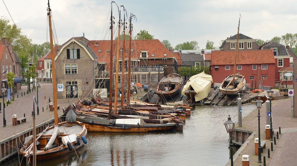
The Old Harbour, also known as the Harbour Museum, dates back to the 13th century. This harbour was built for the ships operated by the Zuiderzee fishermen.
Tap into the history of the fishing village of Spakenburg. Pay a visit to the museum harbour, where culture and traditions come together. Here you’ll find the oldest shipyard in the Netherlands where shipwrights are still hard at work every day, maintaining the world’s biggest fleet of ‘botters’, a special type of wooden, flat-bottomed fishing boat.
In the port of Spakenburg, you'll experience both culture and tradition. The jewel of Spakenburg's port – a museum in its own right – is the oldest shipyard in the Netherlands. From the port, you can see the shipbuilders at work. One-third of the entire Dutch fleet is moored at Spakenburg and you are welcome to come aboard!.
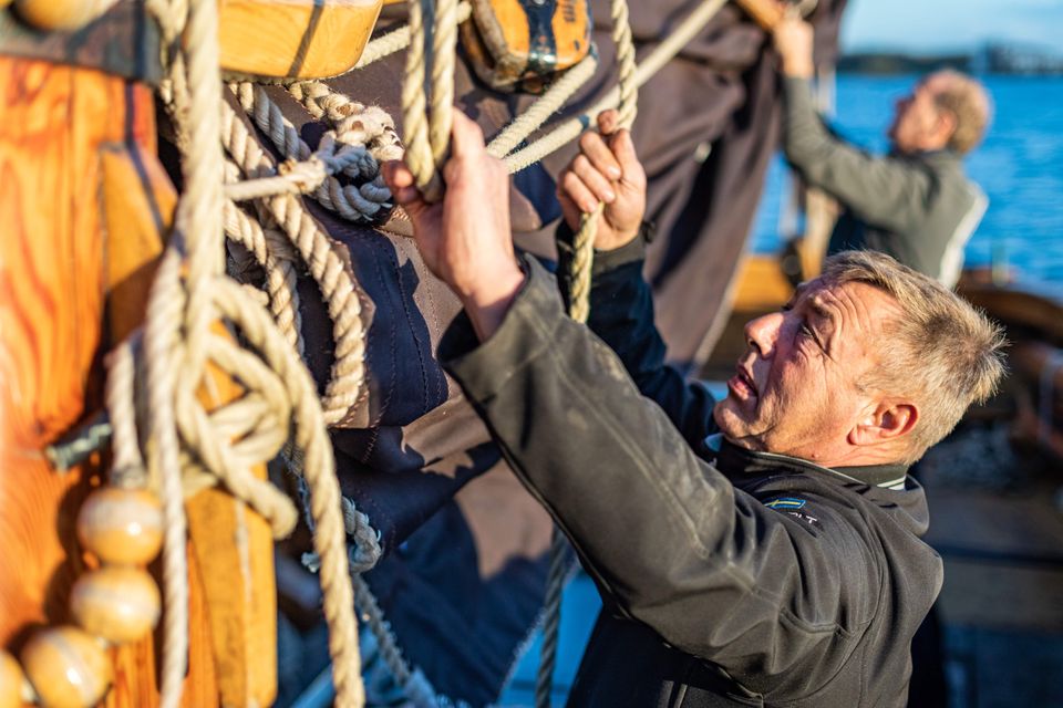
You can enjoy a one-hour sailing trip on a botter while listening to stories from the past, as the skipper lets you relax on the water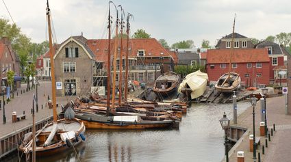
3752 AH Bunschoten-Spakenburg -
-
Museum Hoge Woerd
Museum Hoge Woerd
Hoge Woerdplein 1
3454 PB De Meern -
Geofort
Geofort
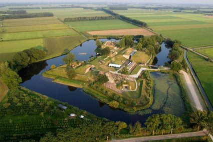
Explore the exciting old fort island at GeoFort. Plenty of experiments await both inside and outside: wander the dark subterranean tunnels, make your way through the maze or use the lift to descend 6,000 kilometres into the earth. Use the maps to find your way around the virtual Minecraft world or visit the virtual sandpit, where you can make a volcano erupt! Feel like having a break? Our pancake restaurant, De WereldPan, has an extensive food and drinks menu.
Geo
Nieuwe Steeg 74
4171 KG Herwijnen -
-
Fort de Batterijen
Fort de Batterijen
Overeindseweg 25
3439LP Nieuwegein -
Tourist Information Point Leerdam
Tourist Information Point Leerdam
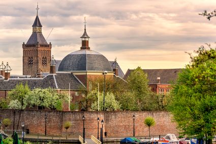
Leerdam, who has not heard about this beautiful city? Since 1765 the Glasscapital of the Netherlands and the whole world eats our Leerdammer Cheese. If you're looking for culture, good food, sailing, shopping, walking or cycling? The city center of Leerdam has it all!
Are you looking for information about Leerdam, tips and ideas, bicycle or walking routes? Come visit us in the Tourist Information Office in Leerdam. We are happy to help you find your way around Leerdam.
4141 AV Leerdam -
-
Fort Uithoorn
Fort Uithoorn
1427 AV Amstelhoek -
Castle Tower in IJsselstein
Castle Tower in IJsselstein
3401 BM IJsselstein -
Grote Kerk Vianen (Great Church)
Grote Kerk Vianen (Great Church)
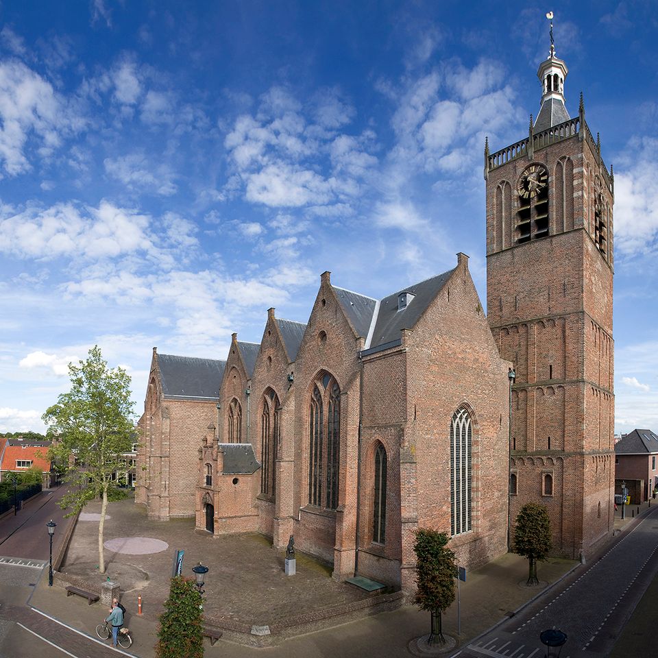
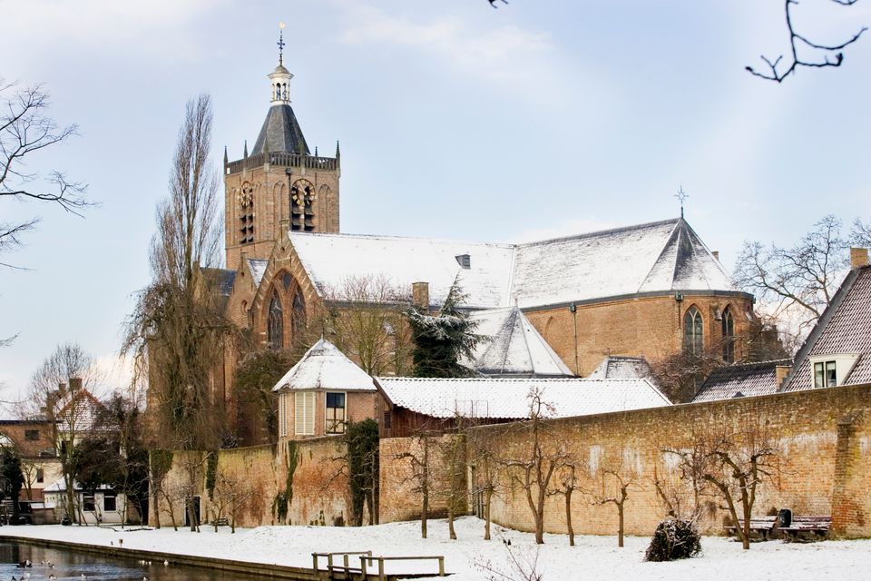
Hubrecht van Vianen founded a chapel in the 13th Century. It fell under the mother church in Hagestein and began growing fast. In the year 1345, it became a parish church and was granted marriage and burial rights. For this, a sum of money had to be paid to the church in Hagestein annually. In the 14th Century, the chapel was replaced by a single-nave church. In the year 1433, following a feud between Vianen and Hagestein, the Bishop of Utrecht decided to split the two churches.
In the mid-15th Century, the church was replaced by a 3-aisle Gothic hall church which is the same size as the current church. (Including the tower, it’s 77.5 metres long, 43 metres wide and 41 metres high.) Since the church also contains the family graves of the Lords of Vianen, it was required to match the grand status of the Brederodes in terms of its size and appearance.
After a fire in the year 1540, the church (de Grote Kerk) was rebuilt in its current form almost immediately (as a combination of a hall church and cruciform church) with the support of Reinoud III van Brederode. The church became Reformed under his son, Hendrik van Brederode. On 25 September 1566, the Roman Catholic institution disappeared and then, on 1 October, the first Protestant service was held.
Discover all monuments in Vianen.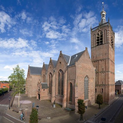
Voorstraat 110
4132 AT Vianen -
-
Groene Entree Kaapse Bossen
Groene Entree Kaapse Bossen
3941 MN DOORN -
Bicycle Boat on the river Vecht
Bicycle Boat on the river Vecht
Rijksstraatweg 11
3631 AA Nieuwersluis -
Rijnauwen Fort
Rijnauwen Fort
Vossegatsedijk 5
3981 HS Bunnik -
Treek-Henschoten Estate
Treek-Henschoten Estate
3832 RS Leusden -
Asschatterkeerkade
Asschatterkeerkade
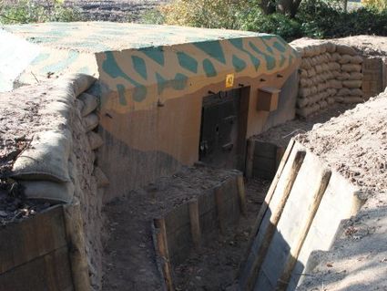
The Asschatterkade dates from 1745, and is one of the longest trenches of the Grebbelinie, with its length of 2500 metres. The trench from 1799 lies east of Leusden, at the edge of the flood plain. But there are also elements from more recent history which can be found.
The nine visible military bunkers, for example, were built during the mobilisation between 1939-1940. There is also a unique concrete tank barrier from this time. During the May Days of 1940, the Germans attempted in vain to break through the defences.
3831 JP Leusden -
-
Werk aan het Spoel
Werk aan het Spoel
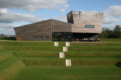
In 1815, a fan lock was built into the Lekdijk near Goilberdingen for inundation purposes. It was protected by an earthen battery. In 1848, the battery was upgraded to a fort. Later on, the inundation system was optimised, and four bomb-proof buildings were added to the fort. In peacetime, the road on top of the dyke ran right through the fort, but traffic was led around the fort in times of mobilisation. In 1939, seven concrete shelters and two machine gun casemates were added. An unusual feature is the high free-standing wall in a field to the south of the fort. This was the stop butt of a German firing range.
4106 LC Culemborg -