odp
121 to 144 of 302 locations
-
Vianen Castle “Op de Bol”
Vianen Castle “Op de Bol”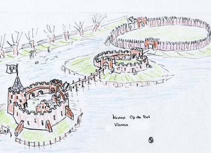
't wed 2
4132 CC Vianen -
TOP Leerdam
TOP Leerdam
Lingedijk 8
4142 LD Leerdam -
Fortresses of the four Lunetten
Fortresses of the four Lunetten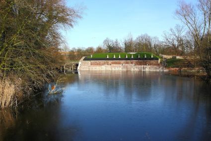
3524 SB Utrecht -
The Horse Sanctuary
The Horse Sanctuary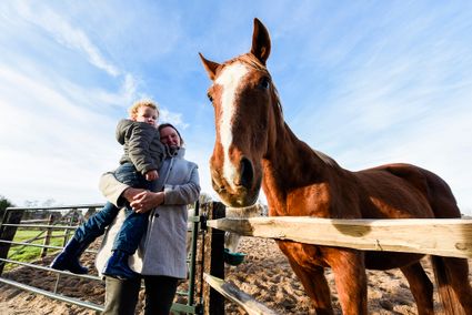
3768 HL Soest -
Molen de Windhond
Molen de Windhond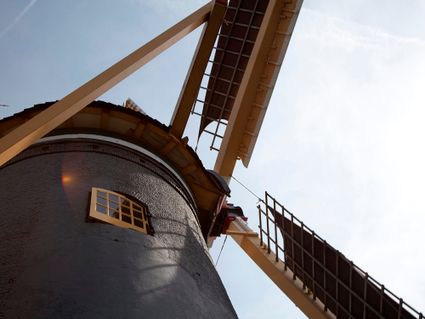
3447 GR Woerden -
Rope museum
Rope museum
3421 SZ Oudewater -
Bungalowpark 't Eekhoornnest
Bungalowpark 't Eekhoornnest
3768 HL Soest -
TOP Het Gagelgat
TOP Het Gagelgat
3768 HD Soest -
Pyramid of Austerlitz
Pyramid of Austerlitz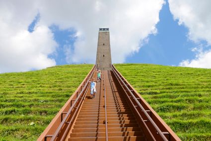
3931 MG Woudenberg -
Grebbe line
Grebbe line
3927 EJ Renswoude -
Fort Jutphaas
Fort Jutphaas
Fort Jutphaas 3
3439 LX Nieuwegein -
Fort aan de Klop
Fort aan de Klop
3563 MC Utrecht -
Castellum Hoge Woerd
Castellum Hoge Woerd
3454 PB De Meern -
Linschoten country Estate
Linschoten country Estate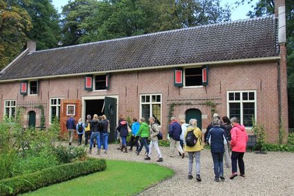
3461 AC Linschoten -
Windmill Windhond
Windmill Windhond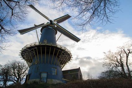
3447 GR Woerden -
TOP Vinkeveense Plassen, Vinkeveen
TOP Vinkeveense Plassen, Vinkeveen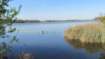
3645DA Vinkeveen -
Molen de Ster
Molen de Ster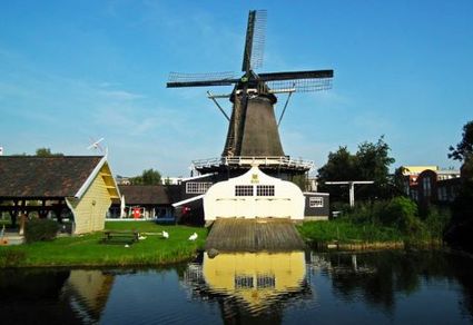
-
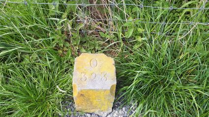
Boundary posts
Boundary posts
In around 1875, the Ministry of War erected some 350 boundary posts along the length of the Kromme Rijn. The blue stone posts, marked with the letter O (for Oorlog, the Dutch word for war) and a number, marked the new route for transporting water to the New Dutch Waterline. The posts used to line up with plot boundaries. Many have been removed over the years, but the water board has returned 18 of them to their original location along the towpath between Werkhoven and Odijk following the construction of an environmentally friendly riverbank.
Odijk -
-
Dutch Water Defence Lines
Dutch Water Defence Lines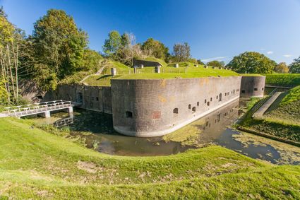
De Hollandse Waterlinies
Utrecht -
Geertje’s Hoeve
Geertje’s Hoeve
Thematerweg 5
3455 SM Utrecht -
Centraal Museum
Centraal Museum
The Centraal Museum is your gateway to art and culture from the world of Utrecht. From Rietveld to the Utrecht Caravaggists, from Dick Bruna to Moesman and from Viktor & Rolf to the centuries-old Utrecht ship. A museum which leaves you inspired time after time. The museum has been housed in this medieval cloister on the Nicolaaskerkhof since 1921 and currently consists of an eclectic collection of buildings with a large courtyard at their centre. It’s a lovely place to wander through hallways and stairwells, and where you can be surprised by the various exhibitions.
Collection
The museum has the largest collection of Rietveld pieces in the world, and shows the work of the world-famous Dick Bruna. The collection of old art is also worthwhile with work from Jan van Scorel, Abraham Bloemaert and Hendrick ten Brugghen. Besides the work of those Dutch icons, the Centraal Museum provides a broad overview of 2.000 years turbulent history, is also the ‘present’ a central theme with current fashion, design and visual art are high on the agenda.Studio Dick Bruna
A special part of the Central Museum is the studio of Dick Bruna, one of the Netherlands’ most famous illustrators and graphic designers. For the last 30 years of his career, he worked at his studio in the centre of Utrecht daily. This was where he created his illustrations and stories, surrounded by personal memories, photos of memorable encounters, gifts from fans and letters from fellow artists.Online tickets
Skip the queue and order your tickets online. You will receive your ticket by email and showing it on your smartphone at the entrance of the museum is sufficient.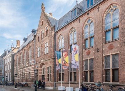
Agnietenstraat 1
3512 XA Utrecht -
-
TOP De Kuil van Drakensteyn
TOP De Kuil van Drakensteyn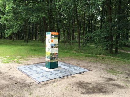
3749 AW Lage Vuursche -
Asschatterkeerkade
Asschatterkeerkade
The Asschatterkade dates from 1745, and is one of the longest trenches of the Grebbelinie, with its length of 2500 metres. The trench from 1799 lies east of Leusden, at the edge of the flood plain. But there are also elements from more recent history which can be found.
The nine visible military bunkers, for example, were built during the mobilisation between 1939-1940. There is also a unique concrete tank barrier from this time. During the May Days of 1940, the Germans attempted in vain to break through the defences.
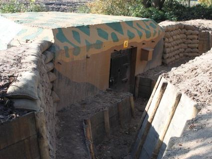
3831 JP Leusden -
-
TOP Park Vliegbasis Soesterberg
TOP Park Vliegbasis Soesterberg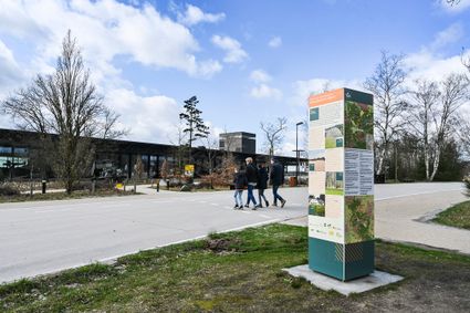
3768 MX Soest


