odp
73 to 96 of 302 locations
-
Fort de Batterijen
Fort de Batterijen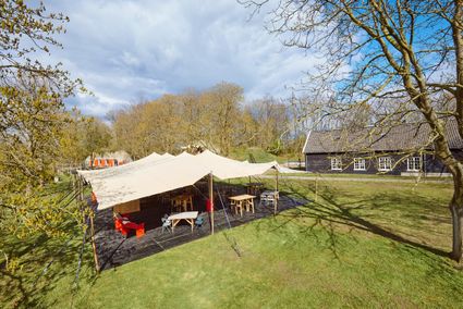
Overeindseweg 25
3439LP Nieuwegein -
The Green House
The Green House
3822 NA Amersfoort -
Bicycle Boat, stop NIeuwersluis
Bicycle Boat, stop NIeuwersluis
zandpad 23
3601NA Maarssen -
Restaurant Rederij De Eemlust
Restaurant Rederij De Eemlust
3741LC Baarn -
Bicycle Boat, Maarssen
Bicycle Boat, Maarssen
Zandweg 44 (tegenover nr. 44)
3601AE Maarssen -
Amelisweerd - Rhijnauwen
Amelisweerd - Rhijnauwen
Koningslaan 9
3981 HD Bunnik -
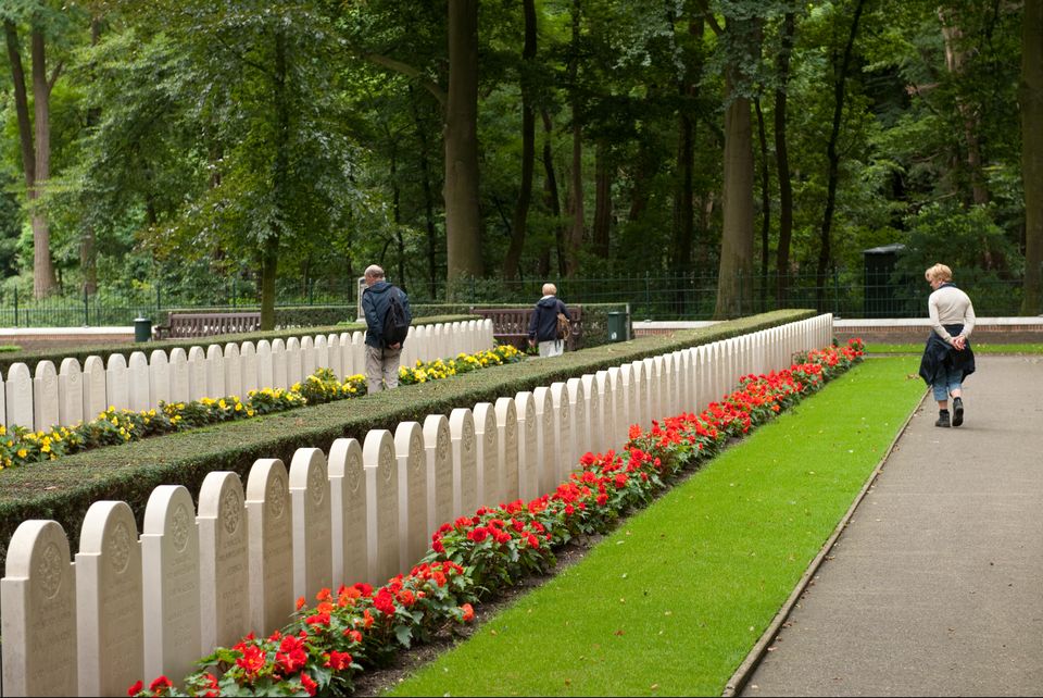
Grebbeberg Military Cemetery
Grebbeberg Military Cemetery
The largest battle of the Dutch army in WWII took place on Grebbeberg Hill. Here poorly armed and untrained men held their ground against a very powerful and ruthless opponent for three days. Grebbeberg Military Cemetery is the final resting place for more than 800 soldiers and 1 citizen who perished here in the Second World War. It is located on Grebbeberg Hill at Rhenen, and was a battlefield of just a few square kilometres, but is full of stories of the courage of desperation in the Netherlands.
The information centre, with an exhibition about the events on Grebbeberg Hill during “The Battle for Grebbeberg Hill” in May 1940, is open daily from 9:00 am to 5:00 pm.

3911 AV Rhenen -
-
Noorderpark Ruigenhoek
Noorderpark Ruigenhoek
Utrecht -
TOP City harbour Wijk bij Duurstede
TOP City harbour Wijk bij Duurstede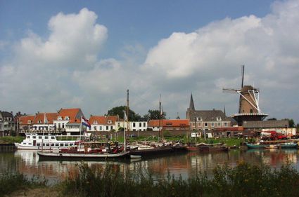
Havenweg
3961 AW Wijk bij Duurstede -
Treek-Henschoten Estate
Treek-Henschoten Estate
3832 RS Leusden -
Museum Vredegoed
Museum Vredegoed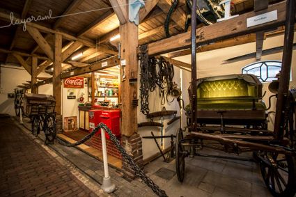
3612 BA Tienhoven -
Wilhelmina city park
Wilhelmina city park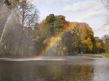
3581 NP Utrecht -
Fort Blauwkapel
Fort Blauwkapel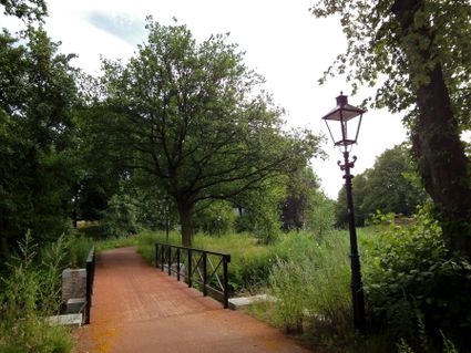
3566 MK Utrecht -
Dagwinkel Aloys Hageman
Dagwinkel Aloys Hageman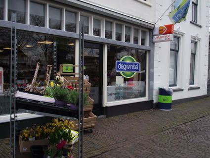
Voorstraat 15
3633 BB Vreeland -
Utrecht City Hall
Utrecht City Hall
Stadhuisbrug 1
3511 JK Utrecht -
TOP Linschoten
TOP Linschoten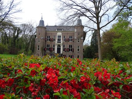
Noord Linschoterdijk 1 (tegenover nr. 1)
Linschoten -
The Vuursche
The Vuursche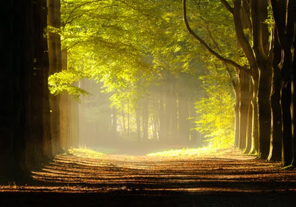
3749 Lage Vuursche -
Slot Zeist
Slot Zeist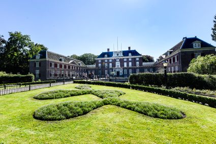
3703 CE Zeist -
TOP Bergse Bossen
TOP Bergse Bossen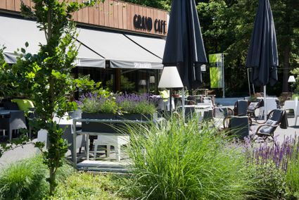
Traaij 299
3971 GM Driebergen -
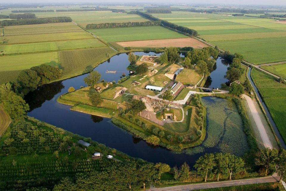
Geofort
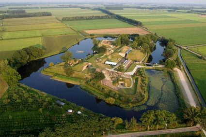
Geofort
Explore the exciting old fort island at GeoFort. Plenty of experiments await both inside and outside: wander the dark subterranean tunnels, make your way through the maze or use the lift to descend 6,000 kilometres into the earth. Use the maps to find your way around the virtual Minecraft world or visit the virtual sandpit, where you can make a volcano erupt! Feel like having a break? Our pancake restaurant, De WereldPan, has an extensive food and drinks menu.
Geo
Nieuwe Steeg 74
4171 KG Herwijnen -
-
Utrechtse Heuvelrug National Park
Utrechtse Heuvelrug National Park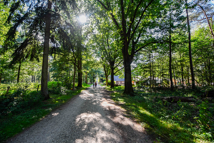
-
TOP teahouse Mon Chouette
TOP teahouse Mon Chouette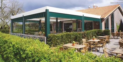
3831 JZ Leusden -
Sterkenburg Castle
Sterkenburg Castle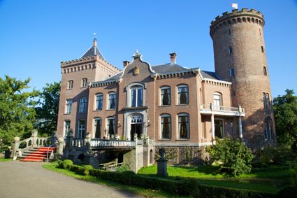
3972 ND Driebergen-Rijsenburg -
Beauforthuis
Beauforthuis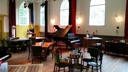
3711 AB Austerlitz