odp
25 to 48 of 301 locations
-
Het Monnikenbos
Het Monnikenbos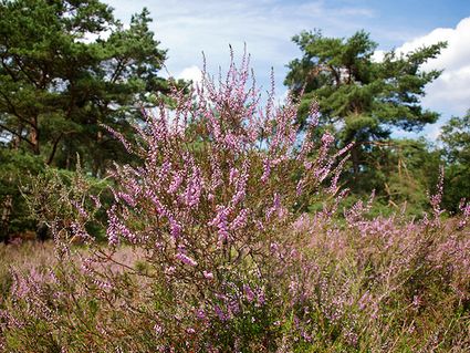
Birkstraat 150
3768 HP SOEST -
Mill "Den Olden Florus"
Mill "Den Olden Florus"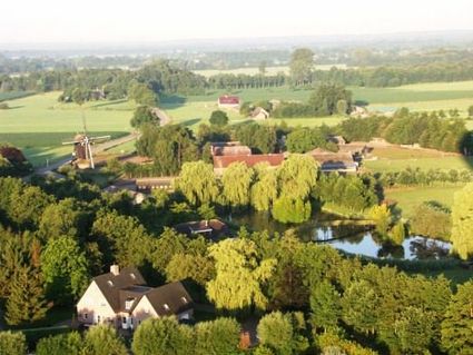
3784 VE Terschuur -
Castle Tower in IJsselstein
Castle Tower in IJsselstein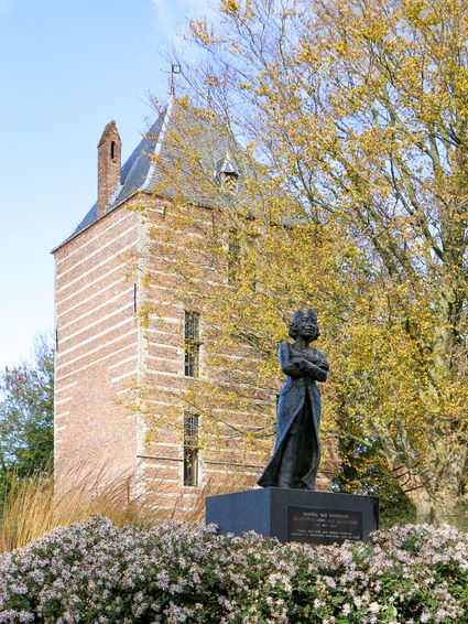
3401 BM IJsselstein -
Pannenkoekenhuis de Grebbeberg
Pannenkoekenhuis de Grebbeberg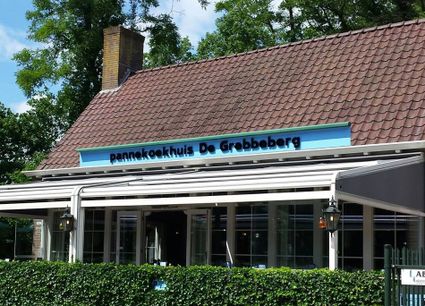
3911 AV Rhenen -
Zoo Amersfoort
Zoo Amersfoort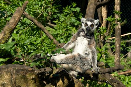
3819 AC Amersfoort -
Restaurant La Montagne
Restaurant La Montagne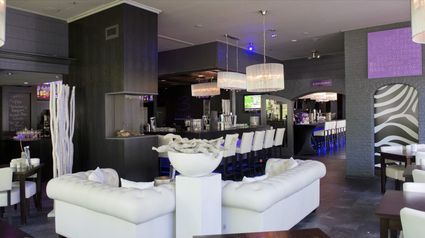
3911 SC Rhenen -
Keuris distillery
Keuris distillery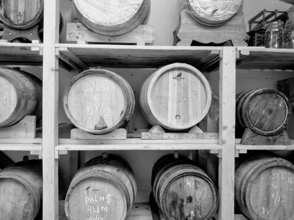
3449 HJ Woerden -
Hotel Landgoed Zonheuvel****
Hotel Landgoed Zonheuvel****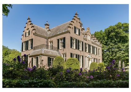
3941 EP Doorn -
Fort Maarsseveen
Fort Maarsseveen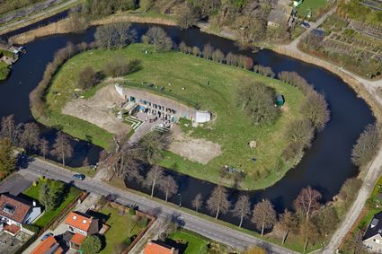
Herenweg 2
3602 AM Maarssen -
Utrecht City Hall
Utrecht City Hall
Stadhuisbrug 1
3511 JK Utrecht -
Landgoed Ginkelduin
Landgoed Ginkelduin
3956 KD Leersum -
Groene Entree & recreatie Doornse Gat
Groene Entree & recreatie Doornse Gat
3941 MN DOORN -
The Windotter windmill
The Windotter windmill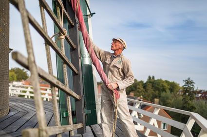
3401 DR IJsselstein -
Muideslot
Muideslot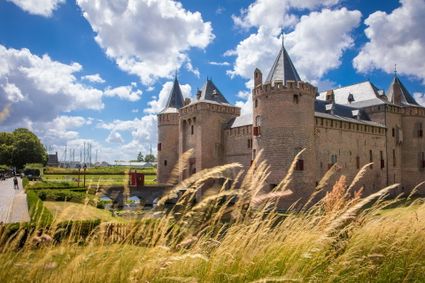
Herengracht 1
1398 AA Muiden -
TOP Pondskoekersluis
TOP Pondskoekersluis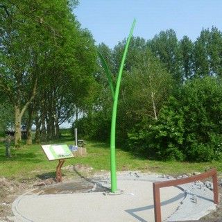
De Hoef Oostzijde 1
1426AD De Hoef -
Visitor Centre De Boswerf
Visitor Centre De Boswerf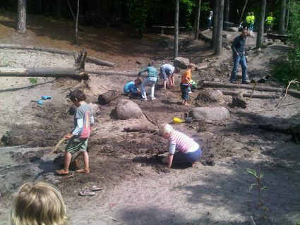
3708 BR Zeist -
Naarden Vesting
Naarden Vesting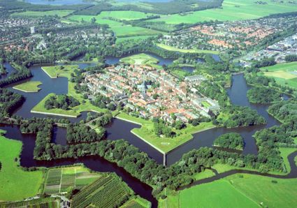
Ruijsdaelplein 10
1411 EA Naarden-Vesting -
Koppelpoort Amersfoort
Koppelpoort Amersfoort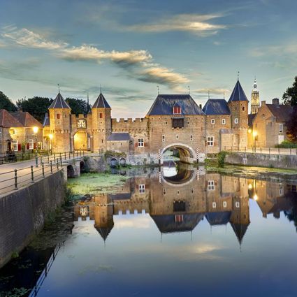
3811 MG Amersfoort -
Groene Entree Kaapse Bossen
Groene Entree Kaapse Bossen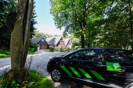
3941 MN DOORN -
Fort Voordorp
Fort Voordorp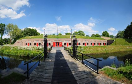
3737 BK Groenekan -
Wineyard Hoog Beek & Royen
Wineyard Hoog Beek & Royen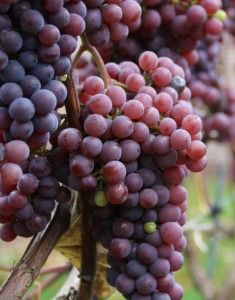
3708JA Zeist -
Fort Abcoude
Fort Abcoude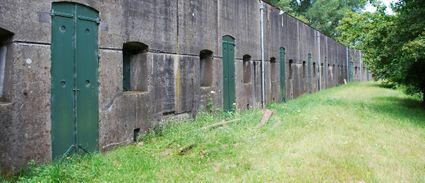
1391 CG Abcoude -
Sterkenburg Castle
Sterkenburg Castle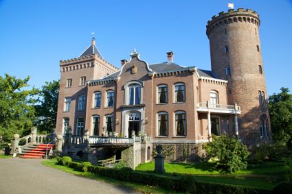
3972 ND Driebergen-Rijsenburg -
Petting Zoo 'Oortjespad'
Petting Zoo 'Oortjespad'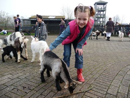
3471 HD Kamerik