odp
265 to 288 of 302 locations
-
TOP City harbour Wijk bij Duurstede
TOP City harbour Wijk bij Duurstede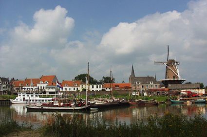
Havenweg
3961 AW Wijk bij Duurstede -
National Military Museum
National Military Museum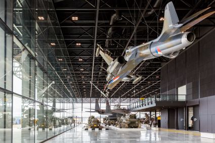
3768 MX Soest -
Cheese Warehouse | Cheese Experience
Cheese Warehouse | Cheese Experience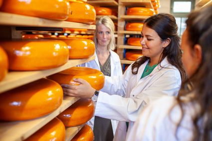
Emmakade 6A
3441 AJ Woerden -
The Windotter windmill
The Windotter windmill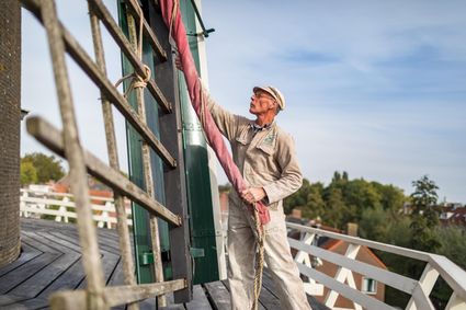
3401 DR IJsselstein -
Castle Tower in IJsselstein
Castle Tower in IJsselstein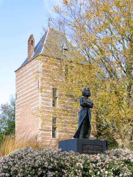
3401 BM IJsselstein -
Fortresses of the four Lunetten
Fortresses of the four Lunetten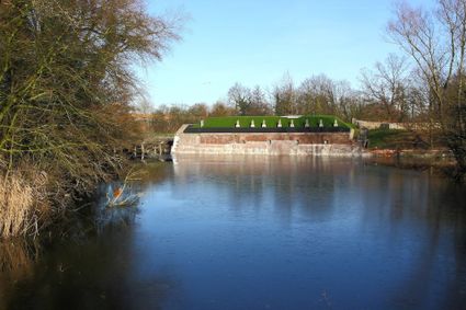
3524 SB Utrecht -
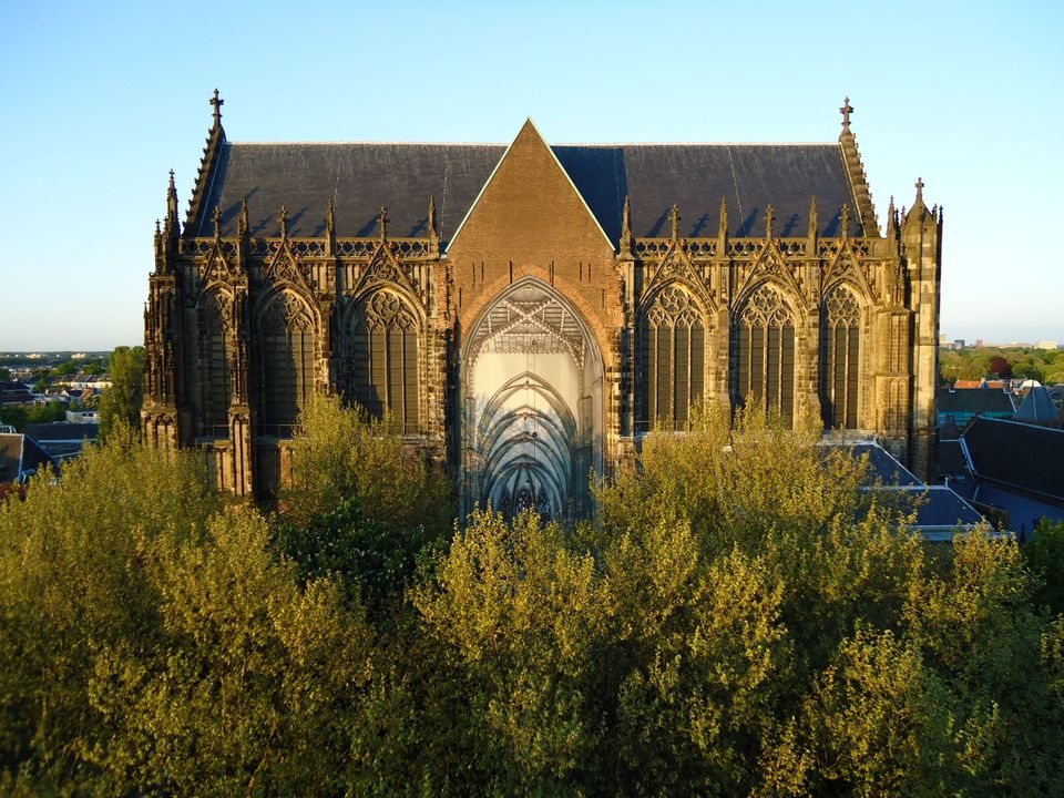
Dom Church
Dom Church
The gothic Dom Church was built as a cathedral for the bishop of Utrecht and dedicated to St. Maarten.
The interior with many lavishly decorated tombs is impressive. The Dom church draws many people daily for a guided tour or a moment of silence and peace. The free Saturday afternoon concerts (3.30 pm) have been a household word in Utrecht for over thirty years.

Domplein 0
3512 JD Utrecht -
-
Geerestein estate
Geerestein estate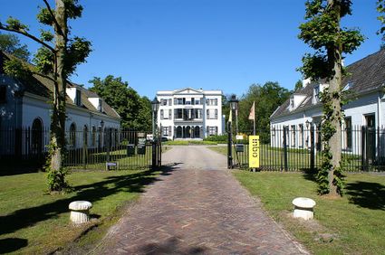
3931 JB Woudenberg -
Asschatterkeerkade
Asschatterkeerkade
The Asschatterkade dates from 1745, and is one of the longest trenches of the Grebbelinie, with its length of 2500 metres. The trench from 1799 lies east of Leusden, at the edge of the flood plain. But there are also elements from more recent history which can be found.
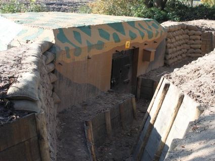
The nine visible military bunkers, for example, were built during the mobilisation between 1939-1940. There is also a unique concrete tank barrier from this time. During the May Days of 1940, the Germans attempted in vain to break through the defences.
3831 JP Leusden -
-
Hoeve Ravenstein
Hoeve Ravenstein
3744 ML Baarn -
Werk aan het Spoel
Werk aan het Spoel
In 1815, a fan lock was built into the Lekdijk near Goilberdingen for inundation purposes. It was protected by an earthen battery. In 1848, the battery was upgraded to a fort. Later on, the inundation system was optimised, and four bomb-proof buildings were added to the fort. In peacetime, the road on top of the dyke ran right through the fort, but traffic was led around the fort in times of mobilisation. In 1939, seven concrete shelters and two machine gun casemates were added. An unusual feature is the high free-standing wall in a field to the south of the fort. This was the stop butt of a German firing range.
4106 LC Culemborg -
-
Dutch Water Defence Lines
Dutch Water Defence Lines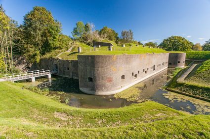
De Hollandse Waterlinies
Utrecht -
Dutch Fortress Museum
Dutch Fortress Museum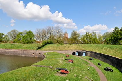
Westwalstraat 6
1411 PB Naarden -
Boundary posts
Boundary posts
In around 1875, the Ministry of War erected some 350 boundary posts along the length of the Kromme Rijn. The blue stone posts, marked with the letter O (for Oorlog, the Dutch word for war) and a number, marked the new route for transporting water to the New Dutch Waterline. The posts used to line up with plot boundaries. Many have been removed over the years, but the water board has returned 18 of them to their original location along the towpath between Werkhoven and Odijk following the construction of an environmentally friendly riverbank.
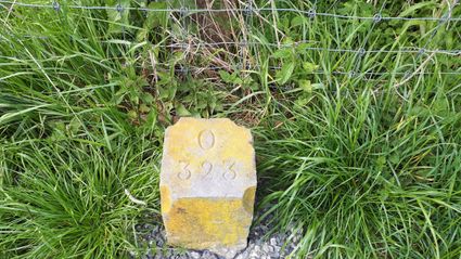
Odijk -
-
Bicycle Boat, stop NIeuwersluis
Bicycle Boat, stop NIeuwersluis
zandpad 23
3601NA Maarssen -
TOP citypark Oudegein
TOP citypark Oudegein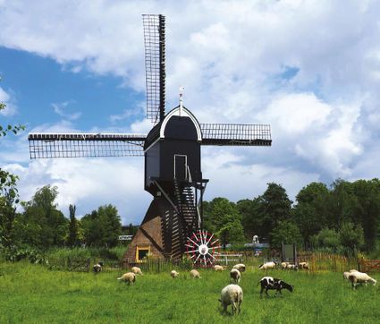
3432 NE Nieuwegein -
The Hernhutter (Moravian Brothers) House
The Hernhutter (Moravian Brothers) House
3703 CA Zeist -
Mill de Hoop
Mill de Hoop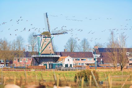
3752 CL Bunschoten-Spakenburg -
De Kastanjeboom
De Kastanjeboom
3751 LC Bunschoten -
Large Pump/Vianen Town Pump
Large Pump/Vianen Town Pump
Voorstraat 54
4132 AS Vianen -
Highland West Coelhorst
Highland West Coelhorst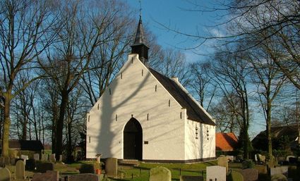
3828 PC Hoogland -
The old St. Nicholas Church
The old St. Nicholas Church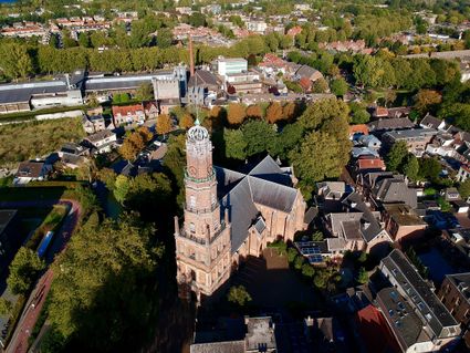
3401 BM IJsselstein -
Pausdam
Pausdam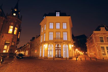
3512 HN Utrecht -
The Waterloo Needle
The Waterloo Needle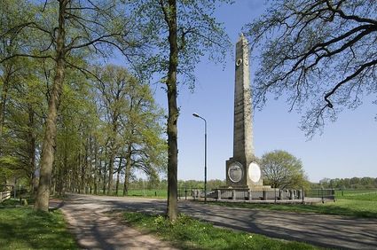
3742 CR Baarn