odp
121 to 144 of 294 locations
-
Amersfoort Zoo
Amersfoort Zoo
3819 AC Amersfoort -
TOP De Generaal
TOP De Generaal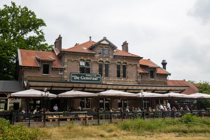
3743 JL Baarn -
Fort Hoofdijk
Fort Hoofdijk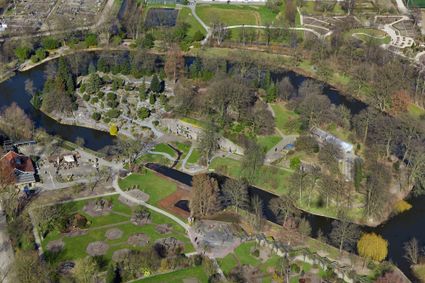
3584 HD Utrecht -
Petting Zoo 'Oortjespad'
Petting Zoo 'Oortjespad'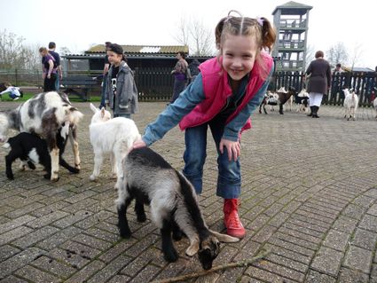
3471 HD Kamerik -
Landgoed Bredius
Landgoed Bredius
3443 BG Woerden -
Fort Ruigenhoek
Fort Ruigenhoek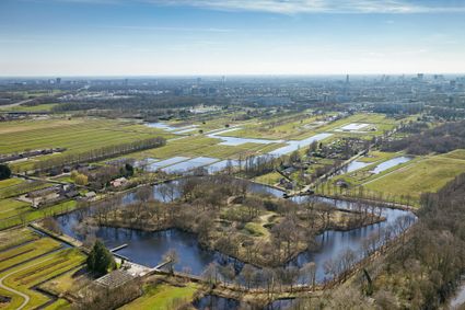
3737 MR Groenekan -
Het Monnikenbos
Het Monnikenbos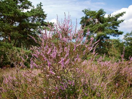
Birkstraat 150
3768 HP SOEST -
Fort Uithoorn
Fort Uithoorn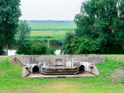
1427 AV Amstelhoek -
Hotel 't Wapen van Harmelen
Hotel 't Wapen van Harmelen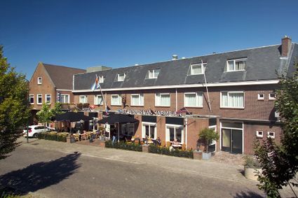
3481 EK Harmelen -
Treek-Henschoten Estate
Treek-Henschoten Estate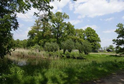
3832 RS Leusden -
Zoo Amersfoort
Zoo Amersfoort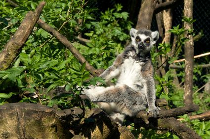
3819 AC Amersfoort -
Cheese Warehouse | Cheese Experience
Cheese Warehouse | Cheese Experience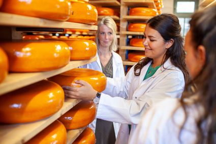
Emmakade 6A
3441 AJ Woerden -
B&B Kasteel Sterkenburg
B&B Kasteel Sterkenburg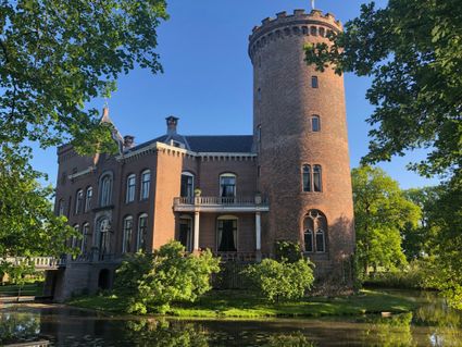
3972 ND Driebergen-Rijsenburg -
Utrechtse Heuvelrug National Park
Utrechtse Heuvelrug National Park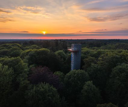
3941EP Nationaal Park Utrechtse Heuvelrug -
Windmill Ter Leede
Windmill Ter Leede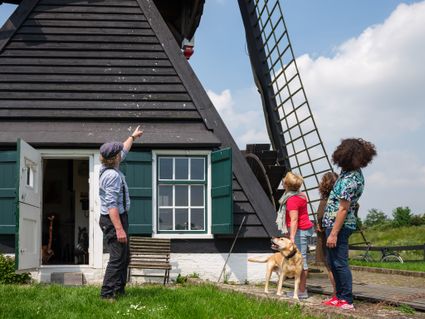
Provinciale weg 2
4142 LD Leerdam -
Soesterduinen
Soesterduinen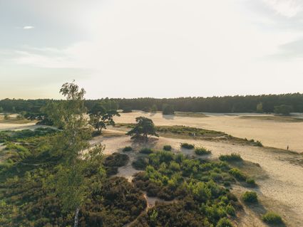
Foekenlaan 25
3768 BJ Soest -
The Great Church of Wijk bij Duurstede
The Great Church of Wijk bij Duurstede
3961 BC Wijk bij Duurstede -
Soestdijk Palace
Soestdijk Palace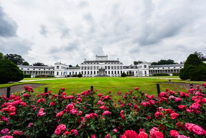
3744 AA Baarn -
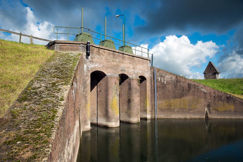
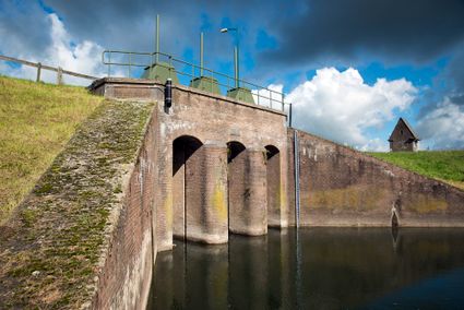
Inundation lock at Wijk bij Duurstede
Inundation lock at Wijk bij Duurstede
In 1870, the Kromme Rijn was given a key role in the New Dutch Waterline. Back then, it took almost a month to flood the area around Utrecht. This had to be speeded up. To this end, the river was widened, its bends were straightened and locks and dams were built. Near Wijk bij Duurstede, a large inundation lock was built that made Wijk bij Duurstede the ‘tap’ with which to turn on the New Dutch Waterline. This reduced the time needed to flood the inundation areas to between 4 and 12 days. The inlet is still used daily to transport fresh water to the city of Utrecht and the river Vecht.
3961CH Wijk bij Duurstede -
-
Pannenkoekenhuis Bergzicht
Pannenkoekenhuis Bergzicht
3931 MH Woudenberg -
Fort aan de Klop
Fort aan de Klop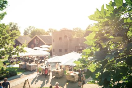
3563 MC Utrecht -
Soesterberg Park Air Base
Soesterberg Park Air Base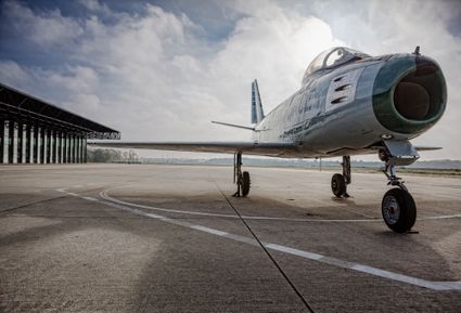
3768 MX Soest -
Boerderij het Gagelgat: Boerderij van 't Jaar!
Boerderij het Gagelgat: Boerderij van 't Jaar!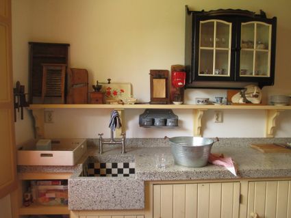
Birktstraat 107
3768 HD Soest -
National Military Museum
National Military Museum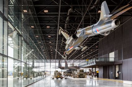
3768 MX Soest