odp
265 to 288 of 295 locations
-
Heidestein Estate
Heidestein Estate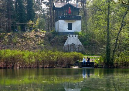
3708 WN Zeist -
TOP Fort at the Buursteeg
TOP Fort at the Buursteeg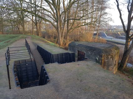
3927EJ Renswoude -
Fort at 't Hemeltje
Fort at 't Hemeltje
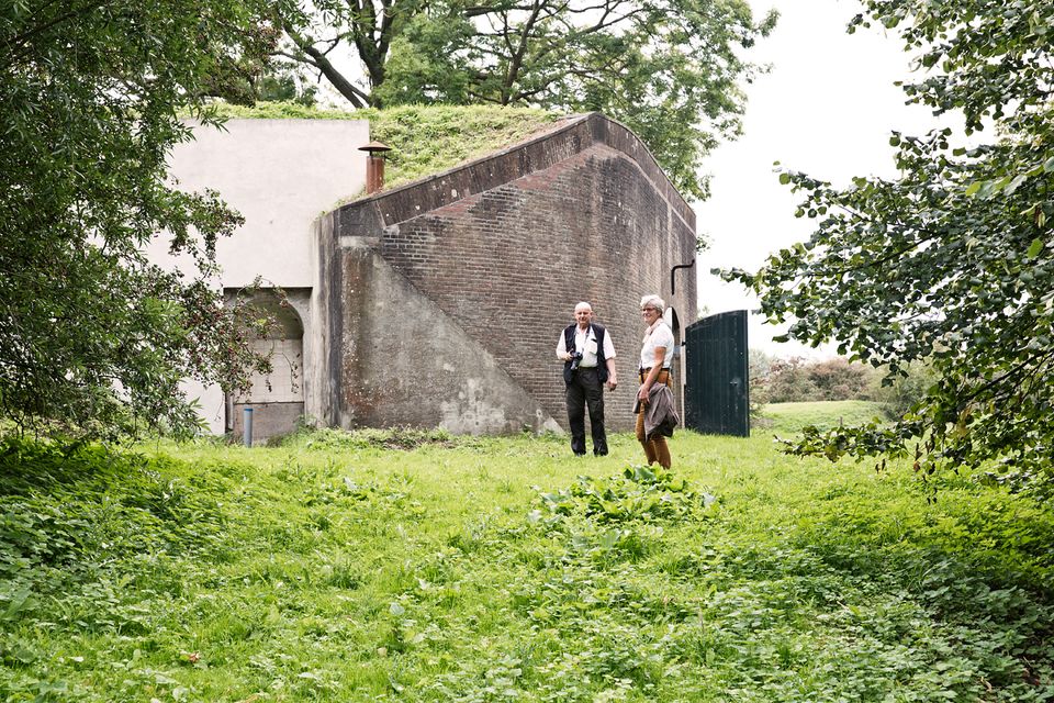
Fort 't Hemeltje dates from 1877-1881 and is the last built fort of the New Dutch Waterline. It defended a strip of land that could not be flooded and the 's-Hertogenbosch-Utrecht railway line. Nowadays, Fort bij 't Hemeltje is largely used as office space for various entrepreneurs who are active in the field of sustainability. The fort also offers shelter to (breeding) birds and bats.
There is a walking route around the fort and there is an exciting spy route with fun assignments for children. In addition, the fort is regularly open to the public, for example during Open Heritage Days.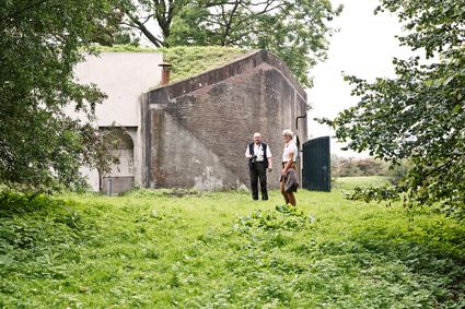
3992 LX Houten -
-
TOP Oud-Zuilen, Slot Zuylen
TOP Oud-Zuilen, Slot Zuylen
3611 AS Maarssen -
Geerestein estate
Geerestein estate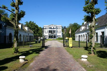
3931 JB Woudenberg -
Fort Blauwkapel
Fort Blauwkapel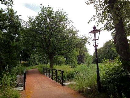
3566 MK Utrecht -
Fort Vreeswijk
Fort Vreeswijk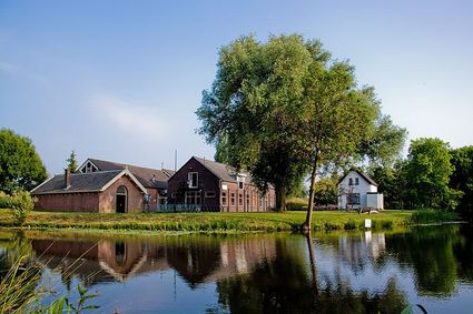
3433 ZZ Nieuwegein -
Koppelpoort Amersfoort
Koppelpoort Amersfoort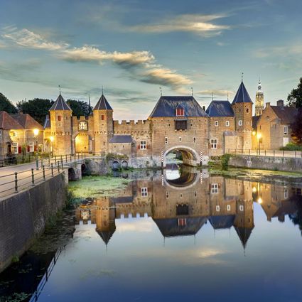
3811 MG Amersfoort -
Fort Hinderdam
Fort Hinderdam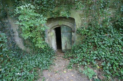
Hinderdam 7
1394 JB Nederhorst den Berg -
Peking Garden
Peking Garden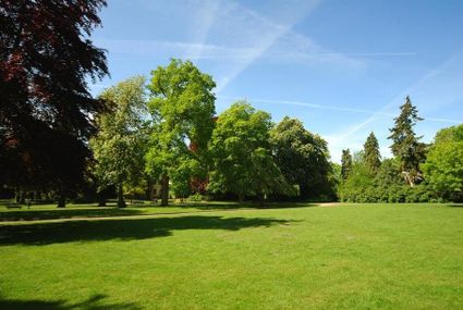
-
National Military Museum
National Military Museum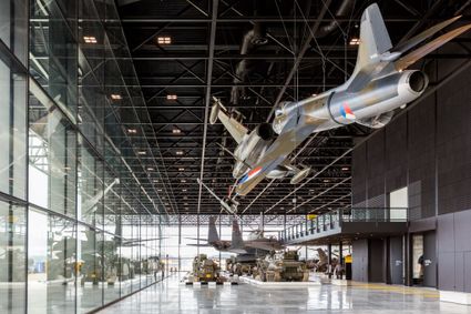
3768 MX Soest -
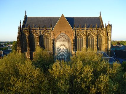
Dom Church
Dom Church
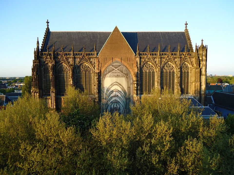
The gothic Dom Church was built as a cathedral for the bishop of Utrecht and dedicated to St. Maarten.
The interior with many lavishly decorated tombs is impressive. The Dom church draws many people daily for a guided tour or a moment of silence and peace. The free Saturday afternoon concerts (3.30 pm) have been a household word in Utrecht for over thirty years.
Domplein 0
3512 JD Utrecht -
-
Fort Ruigenhoek
Fort Ruigenhoek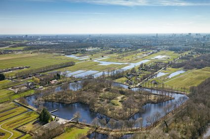
3737 MR Groenekan -
Museum Spakenburg
Museum Spakenburg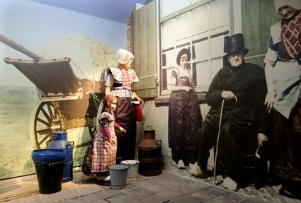
3752 AH Bunschoten-Spakenburg -
Diefdijk
Diefdijk
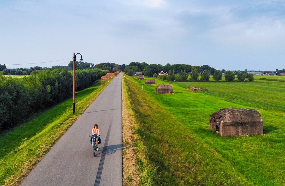
This centuries-old long dyke marks the border between the Betuwe to the east and the lowlands to the west. The purpose of the Diefdijk was to protect the lower-lying meadows whenever the higher Betuwe flooded. The dyke was reinforced in 2015 and still serves its purpose today. It was also part of the New Dutch Waterline: the area to the east of the dyke served as an inundation area. To this day, this area remains scarcely built up. Nature reserves of various sizes border the dyke on either side.

Diefdijk
4143 MG Leerdam -
-
Fort Nieuwersluis
Fort Nieuwersluis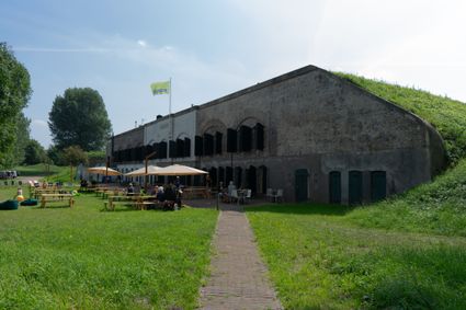
Rijksstraatweg 7b
3631 AA Nieuwersluis -
Proeverij de Azijnmakerij
Proeverij de Azijnmakerij
Zeist -
Inundation lock at Wijk bij Duurstede
Inundation lock at Wijk bij Duurstede
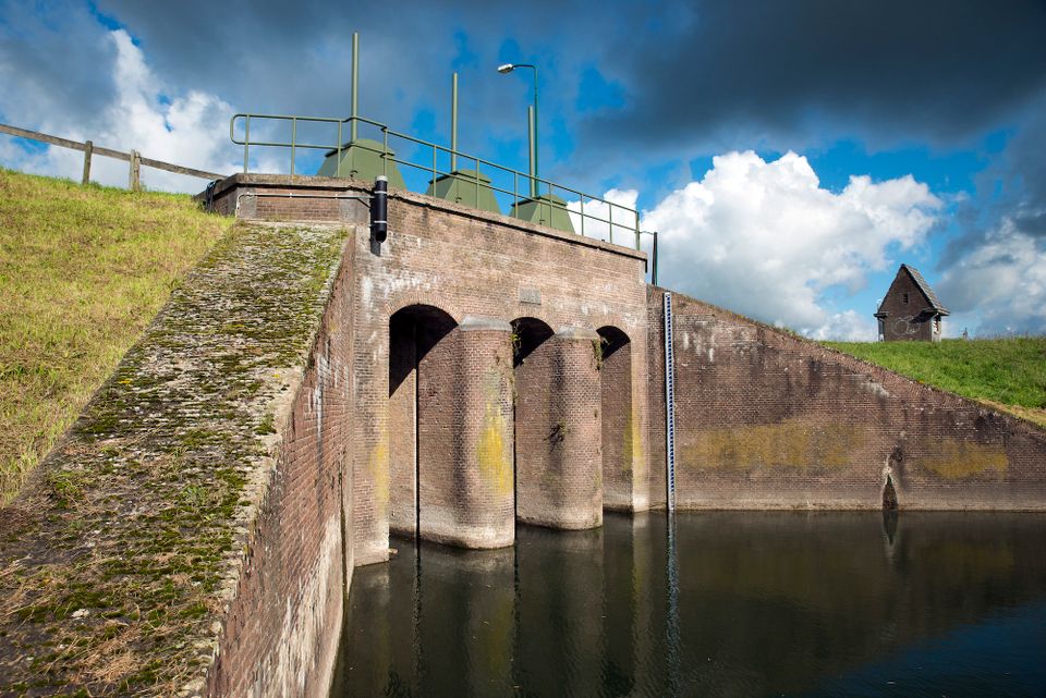
In 1870, the Kromme Rijn was given a key role in the New Dutch Waterline. Back then, it took almost a month to flood the area around Utrecht. This had to be speeded up. To this end, the river was widened, its bends were straightened and locks and dams were built. Near Wijk bij Duurstede, a large inundation lock was built that made Wijk bij Duurstede the ‘tap’ with which to turn on the New Dutch Waterline. This reduced the time needed to flood the inundation areas to between 4 and 12 days. The inlet is still used daily to transport fresh water to the city of Utrecht and the river Vecht.
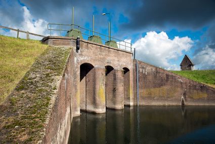
3961CH Wijk bij Duurstede -
-
TOP Marnemoende, IJsselstein
TOP Marnemoende, IJsselstein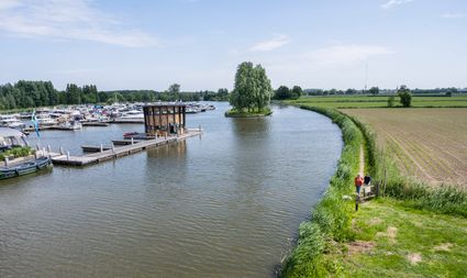
2402PG IJsselstein -
TOP Linschoten
TOP Linschoten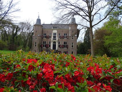
Noord Linschoterdijk 1 (tegenover nr. 1)
Linschoten -
Linschoten country Estate
Linschoten country Estate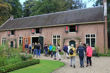
3461 AC Linschoten -
TOP De Schammer
TOP De Schammer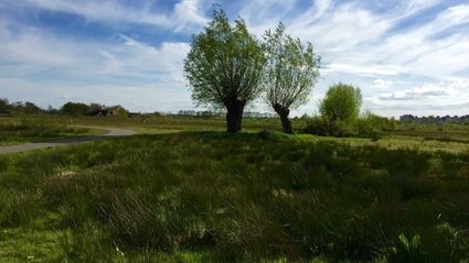
3835 PT Stoutenburg -
TOP Museum Spakenburg
TOP Museum Spakenburg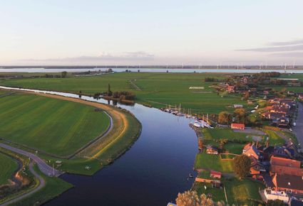
Spakenburg -
Fort de Batterijen
Fort de Batterijen
Overeindseweg 25
3439LP Nieuwegein