odp
25 to 48 of 298 locations
-
Vechtstreekmuseum Maarssen
Vechtstreekmuseum Maarssen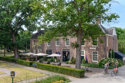
3601 GH Maarssen -
TOP Huis Doorn
TOP Huis Doorn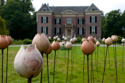
3941 MT Doorn -
Canals and shipyards
Canals and shipyards
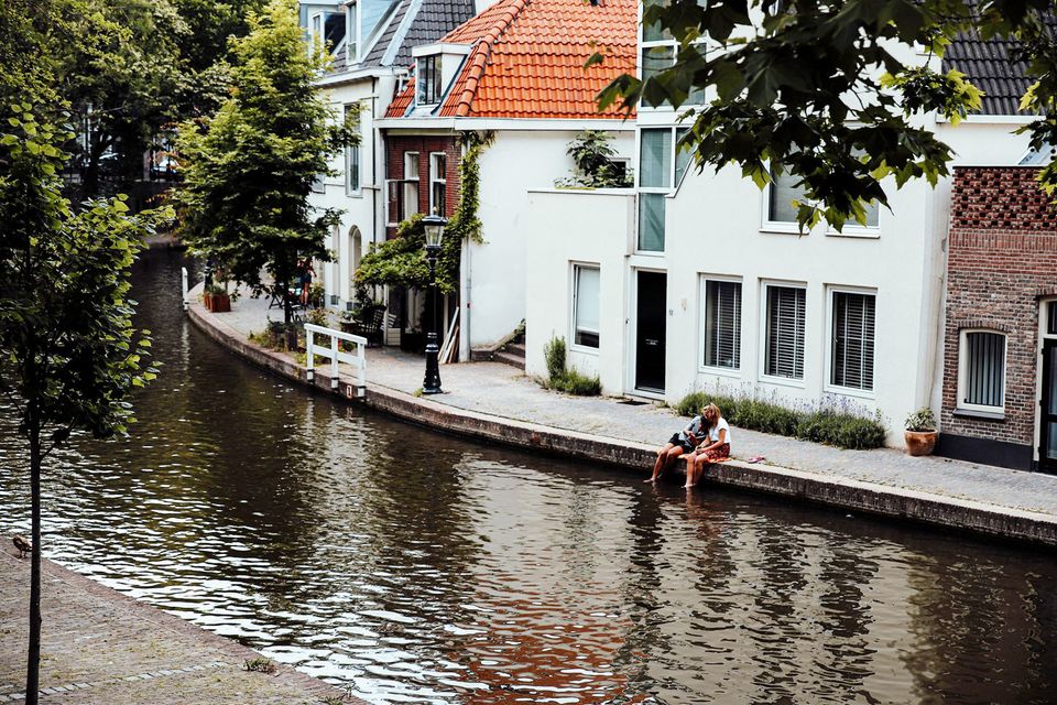
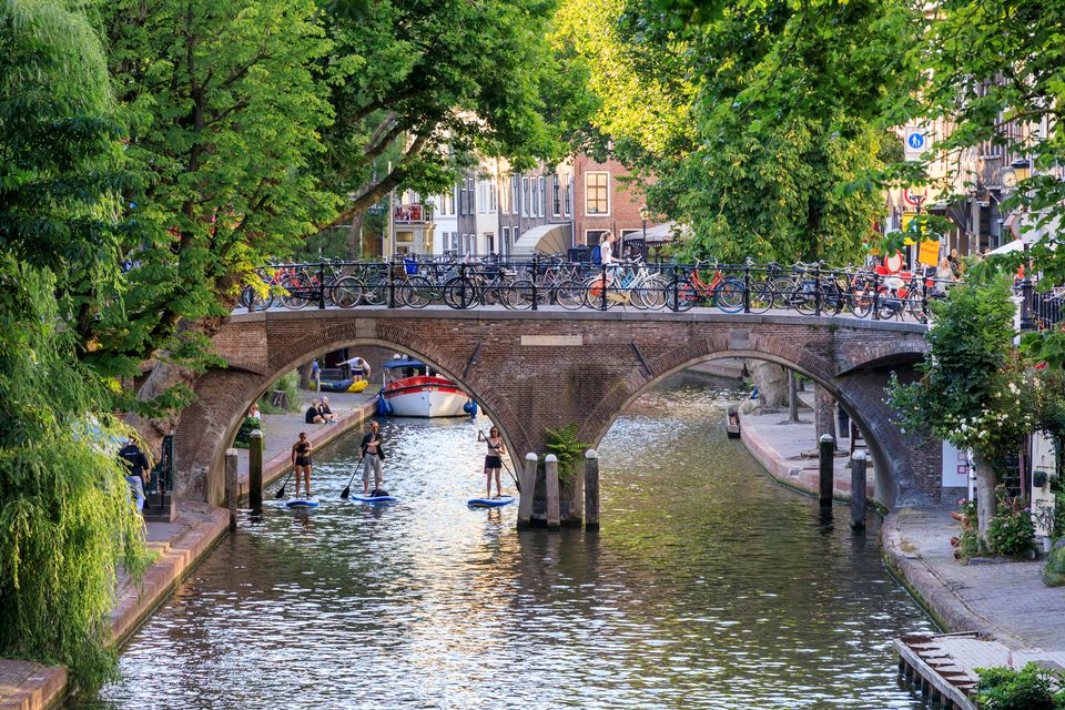
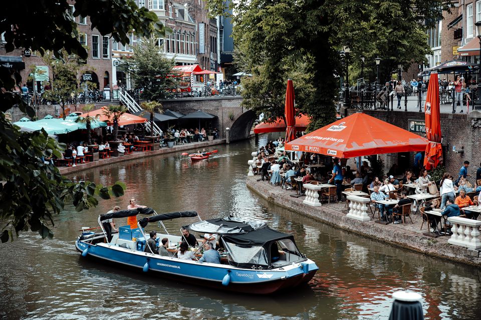
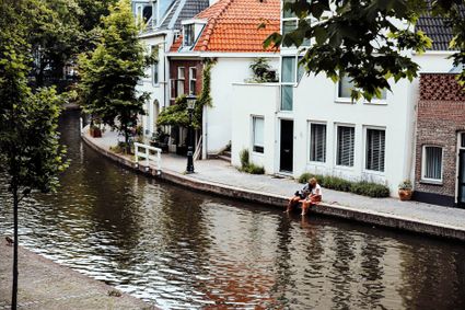
The Utrecht canals with their wharves and wharf cellars are unique in the world.
The 12th Century Oudegracht was built to change the course of the Oude Rijn river. Connecting the river Vecht in the north to the Vaartsche Rijn in the south, the Oudegracht was destined to become an elongated harbour. Large city castles were built along the canal and in the 13th Century, shipyards were built as second streets at water level. The deep cellars, serving as storage spaces, ran through to below the houses. Today, the canals and shipyards are home to shops, restaurants and private residences.
3511 AZ Utrecht -
-
Utrecht Tourist Information 'Winkel van Utrecht'
Utrecht Tourist Information 'Winkel van Utrecht'
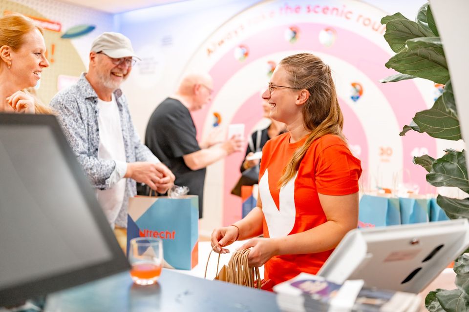
Located at the foot of the Dom Tower you will find the Utrecht Tourist Information Centre (VVV Utrecht). Make the most of your time in Utrecht by planning your trip with help from experts! Whether you’re searching for the best accommodation, exciting excursions in Utrecht or the region, the dedicated staff of VVV Utrecht can help you with a wonderful stay. They can also help you to book tickets, toursand information about public transport in and around Utrecht.
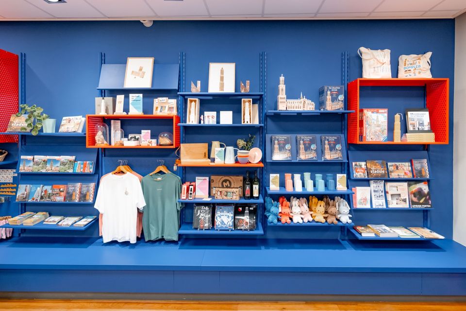
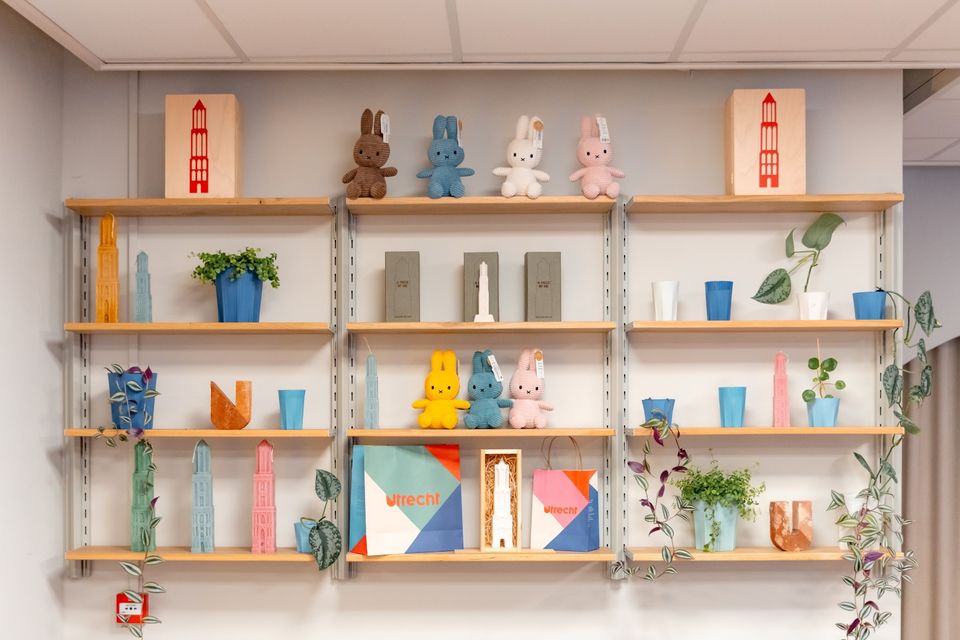
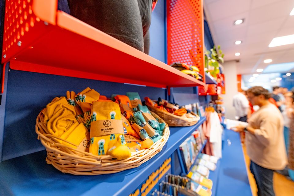
The Tourist Information Office is also the ultimate souvenir shop in Utrecht, with Holland souvenirs, typical Utrecht products and the largest selection of Miffy gifts in a special Miffy house available!
Go to the VVV Utrecht Information Centre for:
- Tourist information
- Dom Tower climbs
- Souvenirs
- Hotel bookings
- Gift vouchers
- Bicycle hire
- Walks and bicycle tours
- Guided tours
The information centre has free wireless Internet.
Public holidays:
Regular opening hours apply during public holidays, with the exception of Kings Day (27 April) during which the information centre will be closed.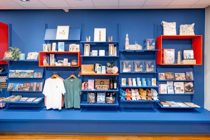
Domplein 9
3512JC Utrecht -
-
Fort at 't Hemeltje
Fort at 't Hemeltje
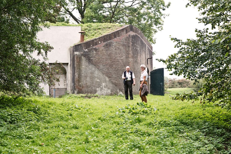
Fort 't Hemeltje dates from 1877-1881 and is the last built fort of the New Dutch Waterline. It defended a strip of land that could not be flooded and the 's-Hertogenbosch-Utrecht railway line. Nowadays, Fort bij 't Hemeltje is largely used as office space for various entrepreneurs who are active in the field of sustainability. The fort also offers shelter to (breeding) birds and bats.
There is a walking route around the fort and there is an exciting spy route with fun assignments for children. In addition, the fort is regularly open to the public, for example during Open Heritage Days.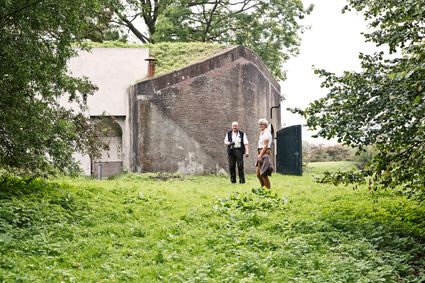
3992 LX Houten -
-
Museum IJsselstein
Museum IJsselstein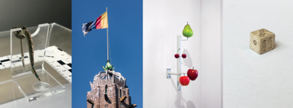
3401 DS IJsselstein -
Koppelpoort Amersfoort
Koppelpoort Amersfoort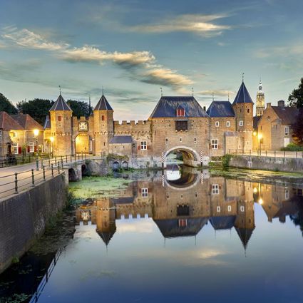
3811 MG Amersfoort -
Fort Blauwkapel
Fort Blauwkapel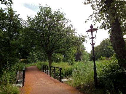
3566 MK Utrecht -
TOP Oortjespad
TOP Oortjespad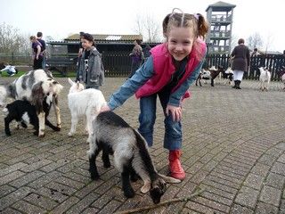
Oortjespad
3471HD Kamerik -
City park Griftpark
City park Griftpark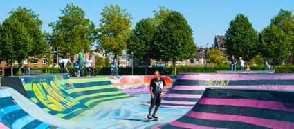
3572 KC Utrecht -
Veenendaal Town Beach
Veenendaal Town Beach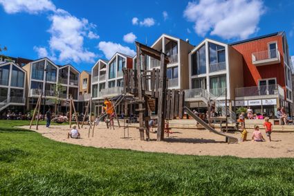
3901 Veenendaal -
Fortresses of the four Lunetten
Fortresses of the four Lunetten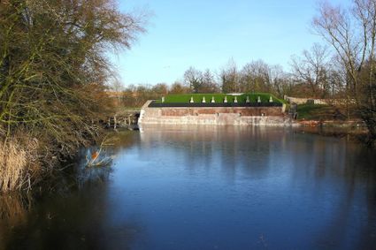
3524 SB Utrecht -
City Museum Woerden
City Museum Woerden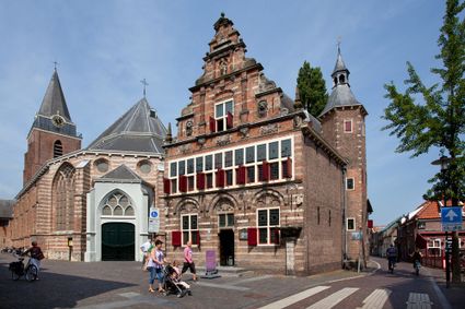
3441 BG Woerden -
Petrus Tower
Petrus Tower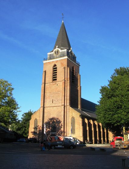
3441 AJ Woerden -
Fort Maarsseveen
Fort Maarsseveen
Herenweg 3
3602 AM Maarssen -
Volmolen
Volmolen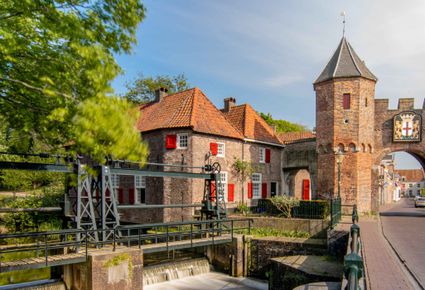
Plantsoen Noord 2
3811 GH Amersfoort -
Spakenburg Harbour Museum
Spakenburg Harbour Museum
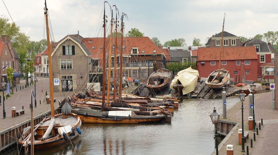
The Old Harbour, also known as the Harbour Museum, dates back to the 13th century. This harbour was built for the ships operated by the Zuiderzee fishermen.
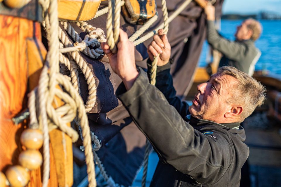
Tap into the history of the fishing village of Spakenburg. Pay a visit to the museum harbour, where culture and traditions come together. Here you’ll find the oldest shipyard in the Netherlands where shipwrights are still hard at work every day, maintaining the world’s biggest fleet of ‘botters’, a special type of wooden, flat-bottomed fishing boat.
In the port of Spakenburg, you'll experience both culture and tradition. The jewel of Spakenburg's port – a museum in its own right – is the oldest shipyard in the Netherlands. From the port, you can see the shipbuilders at work. One-third of the entire Dutch fleet is moored at Spakenburg and you are welcome to come aboard!.
You can enjoy a one-hour sailing trip on a botter while listening to stories from the past, as the skipper lets you relax on the water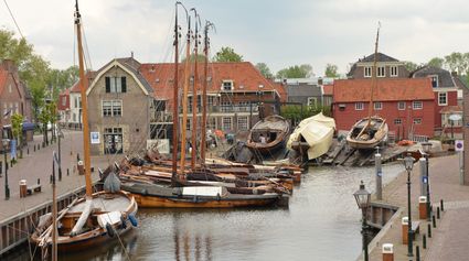
3752 AH Bunschoten-Spakenburg -
-
Asschatterkeerkade
Asschatterkeerkade
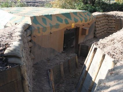
The Asschatterkade dates from 1745, and is one of the longest trenches of the Grebbelinie, with its length of 2500 metres. The trench from 1799 lies east of Leusden, at the edge of the flood plain. But there are also elements from more recent history which can be found.
The nine visible military bunkers, for example, were built during the mobilisation between 1939-1940. There is also a unique concrete tank barrier from this time. During the May Days of 1940, the Germans attempted in vain to break through the defences.
3831 JP Leusden -
-
Amersfoort Zoo
Amersfoort Zoo
3819 AC Amersfoort -
Plofsluis
Plofsluis
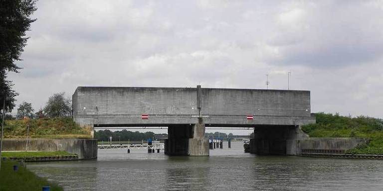
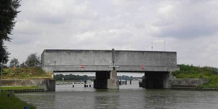
The Plofsluis consists of five concrete bins with a relatively weak floor that span the Amsterdam-Rhine Canal. The bins could store around 40,000 tonnes of sand, gravel or debris. In wartime, the floor could be blow up, so that its contents would drop into the Amsterdam-Rhine Canal. This would block the canal and prevent the inundation water from flowing out. The lock was designed in such a way that its sides would remain upright after the explosion, so that the floor could be reconstructed and the sluice could be used again. It was never actually used.
3439 LS Nieuwegein -
-
Groene Entree Kaapse Bossen
Groene Entree Kaapse Bossen
3941 MN DOORN -
Blokhoven inundation area
Blokhoven inundation area
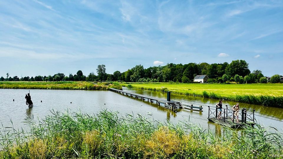
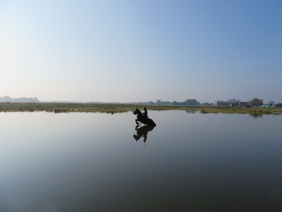
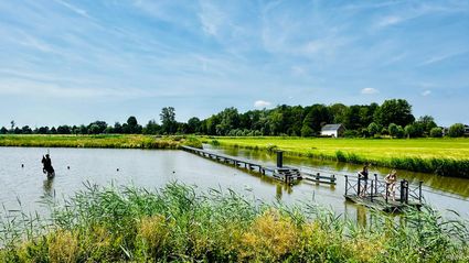
The Blokhoven polder flood plain is situated behind the Achterdijk in Schalkwijk. During heavy rainfall, it can collect up to 23,000 m3 of water to prevent Schalkwijk from being flooded. This volume is equivalent to around 10 Olympic swimming pools. The area is at the heart of the New Dutch Waterline. In the summer, the plain is flooded twice a month to illustrate the inundation principle for visitors. If heavy or prolonged rainfall is forecast, the water board may decide to forego the inundation, as the plain will be needed to collect excess water.
3998 NE Schalkwijk -
-
Amaliastein
Amaliastein
Daunstraat 26
4133 JE Vianen -
Prattenburg Estate
Prattenburg Estate
3911 RW Rhenen