odp
49 to 72 of 301 locations
-
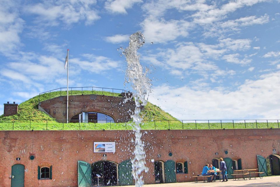
Castellum Hoge Woerd
Castellum Hoge Woerd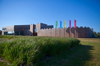
3454 PB De Meern -
Boerderij het Gagelgat: Boerderij van 't Jaar!
Boerderij het Gagelgat: Boerderij van 't Jaar!
Birktstraat 107
3768 HD Soest -
TOP Tea Garden Eemnes
TOP Tea Garden Eemnes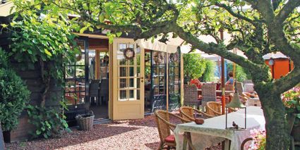
3755 PD Eemnes -
De Hooge Vuursche Castle
De Hooge Vuursche Castle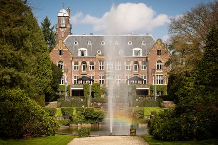
3744 KC Baarn -
Museum Bunker Leusden
Museum Bunker Leusden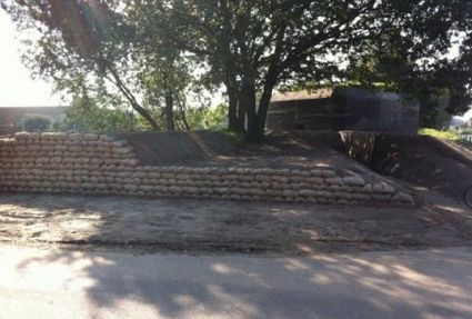
3831 RZ Leusden -
Castle Tower in IJsselstein
Castle Tower in IJsselstein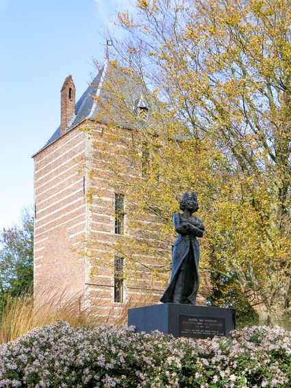
3401 BM IJsselstein -
Eethuys-Café De Generaal - Baarn
Eethuys-Café De Generaal - Baarn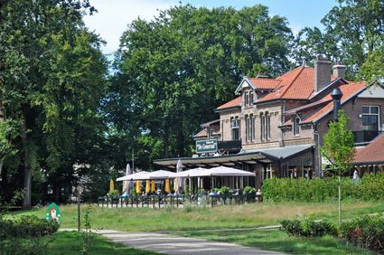
3743 JL Baarn -
Bijzondere Taarten Fabriek
Bijzondere Taarten Fabriek
Zeist -
Geesberge country estate
Geesberge country estate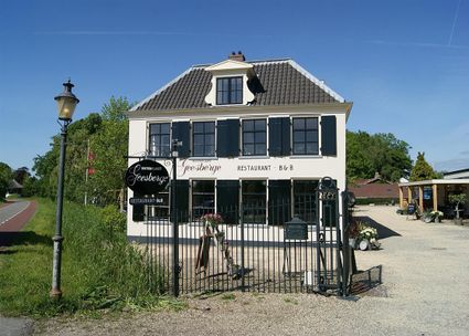
3601 NA Maarssen -
Gagelbos
Gagelbos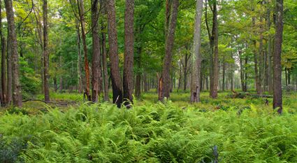
3566 MJ Utrecht -
Air Base Park Soesterberg
Air Base Park Soesterberg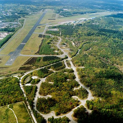
3768 MX Soest -
Soesterduinen Sand Dunes
Soesterduinen Sand Dunes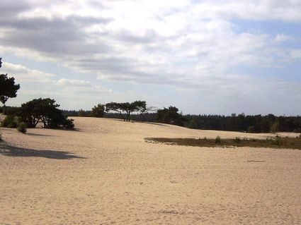
3786 MD Soest -
TOP Amerongen
TOP Amerongen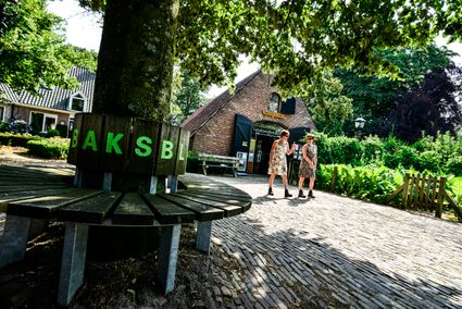
3958 ER Amerongen -
Vianen Castle “Op de Bol”
Vianen Castle “Op de Bol”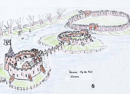
't wed 2
4132 CC Vianen -
Fort Abcoude
Fort Abcoude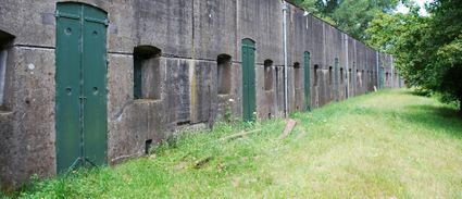
1391 CG Abcoude -
Fort Lunet aan de Snel
Fort Lunet aan de Snel
Somewhat hidden in the woods along Gedekte Gemeenschapsweg between Fort Honswijk and Werk aan de Korte Uitweg is the small but atmospheric Lunet aan de Snel. The earthen rampart allowed defenders to repel an attack on Fort Honswijk from the north-east. In addition, its guns covered parts of the Lekdijk – something that could not be achieved from Fort Honswijk.
These days, the fort houses an exhibition that illustrates the key role that water plays in our community and its unique properties.

3998 NJ Schalkwijk -
-
Restaurant De Dennen
Restaurant De Dennen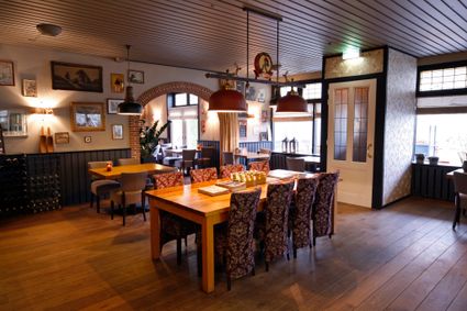
3927 AW Renswoude -
The old St. Nicholas Church
The old St. Nicholas Church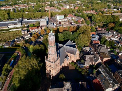
3401 BM IJsselstein -
Speelbos (forest playground) Nieuw Wulven
Speelbos (forest playground) Nieuw Wulven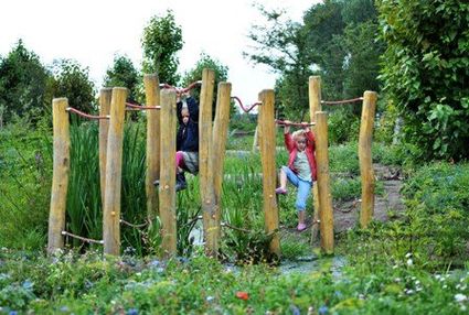
Binnenweg 26
3994 AN Houten -
De Paltz Estate
De Paltz Estate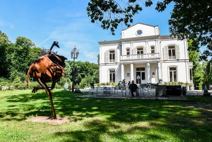
3768 MZ Soest -
Fort Hinderdam
Fort Hinderdam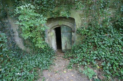
Hinderdam 7
1394 JB Nederhorst den Berg -
St. Joriskerk (Church)
St. Joriskerk (Church)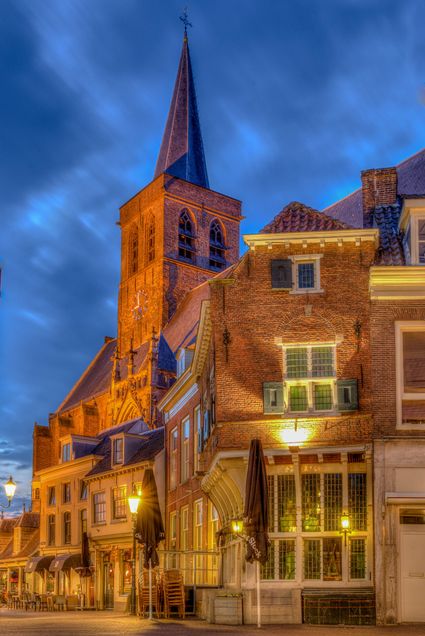
Hof 1
3811 CJ Amersfoort -
Groene Entree & recreatie Doornse Gat
Groene Entree & recreatie Doornse Gat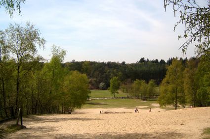
3941 MN DOORN -
Ouwehands Zoo Rhenen
Ouwehands Zoo Rhenen
3911 AV Rhenen