odp
217 to 240 of 302 locations
-
Camping De Grebbelinie
Camping De Grebbelinie
3927 CJ Renswoude -
Fort Maarsseveen
Fort Maarsseveen
Herenweg 3
3602 AM Maarssen -
TOP Marnemoende, IJsselstein
TOP Marnemoende, IJsselstein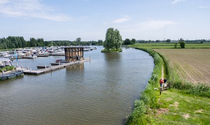
2402PG IJsselstein -
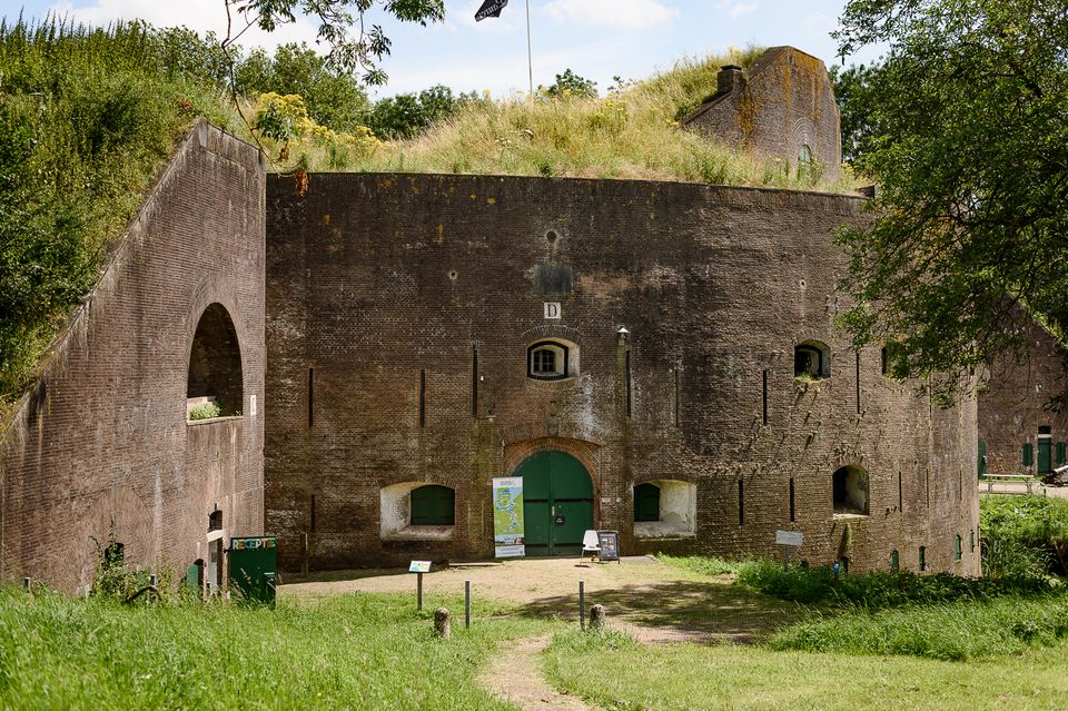
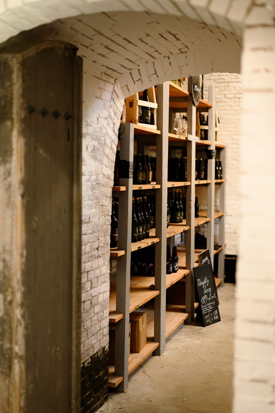
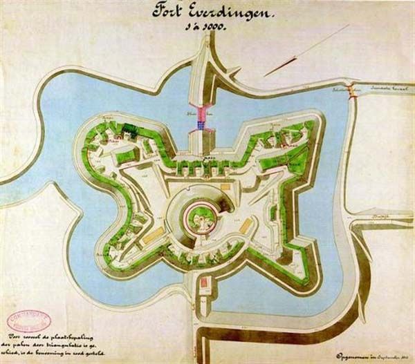
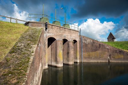
Fort Everdingen
Fort Everdingen
Anyone who delves into the history of the Vijfheerenlanden will soon discover that the now very quiet and peaceful area has a history filled with clashing weapons. Destroyed towns and castles, plundering and domestic (and foreign) wars: every town and village has its own story to tell. Everdingen was put on the Dutch military map in the 19th Century as part of the New Dutch Water Line.
The New Dutch Water Line ran from the former Zuiderzee near Muiden to the Biesbosch near Werkendam and consisted of a variety of defences and inundation fields (areas that could be placed underwater). Fort Everdingen was built between 1842 and 1847 and, together with Fort Honswijk, formed the Lek access on the other side of the Lek. The surrounding land could be flooded using inundation locks. The fort itself was walled and well defended by a variety of casemates. The new Dutch Water Line was prepared 3 times. At the end of World War II, German forces used the line as a defence against the advancing Allies. Fort Everdingen lost its defensive function after the war. The military Explosive Ordinance Disposal service used the fort until 2014. It’s now home to the German & Lauret brewery, which uses the special water filtering system in their brewery. It’s also an over-wintering place for many bats.
Further reading: Batestein Castle, Hagestein Castle, Vianen Castle, Brederode statue, Everdingen village centre, Vianen water tower.
4121 KK Everdingen -
-
TOP 't Hooge Erf
TOP 't Hooge Erf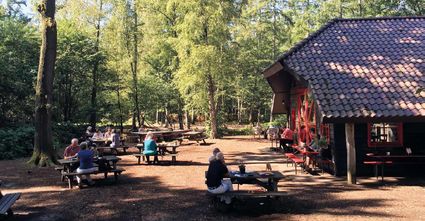
3749 AB Lage Vuursche -
The Monnikendam
The Monnikendam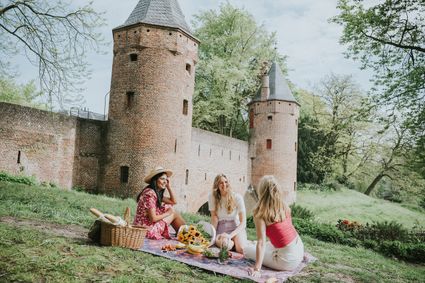
3811 HH Amersfoort -
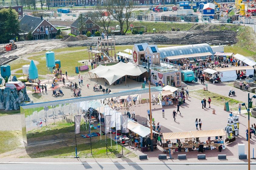
RAUM
RAUM
RAUM is an oasis in the new city, in the heart of Leidsche Rijn Center, where you can create, imagine and question the future of the city through art & design.
The city is a source of knowledge, skills, creativity and resources. In order to unlock that source, you must stimulate interaction between people and the environment. RAUM does this by stimulating through cultural experiment. And that provides new insights. Stories are made and told at RAUM. It is a place where art and design show the challenges of our city. A place that gives shape to the residents' solidarity with their city.
3541 CM Utrecht -
-
Café-Restaurant De Lage Vuursche
Café-Restaurant De Lage Vuursche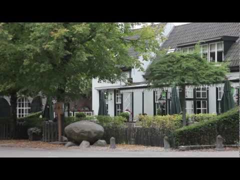
3749 AD Lage Vuursche -
TOP Vinkeveense Plassen, Vinkeveen
TOP Vinkeveense Plassen, Vinkeveen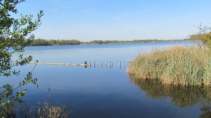
3645DA Vinkeveen -
Rijnauwen Fort
Rijnauwen Fort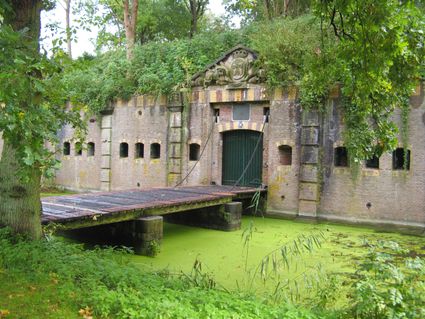
Vossegatsedijk 5
3981 HS Bunnik -
Vechtstreekmuseum Maarssen
Vechtstreekmuseum Maarssen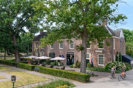
3601 GH Maarssen -
Fort aan de Klop
Fort aan de Klop
3563 MC Utrecht -
Cheese Warehouse | Cheese Experience
Cheese Warehouse | Cheese Experience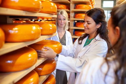
Emmakade 6A
3441 AJ Woerden -
TOP Oortjespad
TOP Oortjespad
Oortjespad
3471HD Kamerik -
Spakenburg Harbour Museum
Spakenburg Harbour Museum
The Old Harbour, also known as the Harbour Museum, dates back to the 13th century. This harbour was built for the ships operated by the Zuiderzee fishermen.
Tap into the history of the fishing village of Spakenburg. Pay a visit to the museum harbour, where culture and traditions come together. Here you’ll find the oldest shipyard in the Netherlands where shipwrights are still hard at work every day, maintaining the world’s biggest fleet of ‘botters’, a special type of wooden, flat-bottomed fishing boat.
In the port of Spakenburg, you'll experience both culture and tradition. The jewel of Spakenburg's port – a museum in its own right – is the oldest shipyard in the Netherlands. From the port, you can see the shipbuilders at work. One-third of the entire Dutch fleet is moored at Spakenburg and you are welcome to come aboard!.
You can enjoy a one-hour sailing trip on a botter while listening to stories from the past, as the skipper lets you relax on the water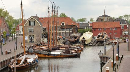
3752 AH Bunschoten-Spakenburg -
-
Breukelen
Breukelen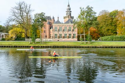
-
National Military Museum
National Military Museum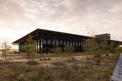
3768 MX Soest -
The Amersfoort Boulder
The Amersfoort Boulder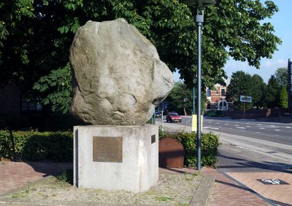
3800 Amersfoort -
Het Monnikenbos
Het Monnikenbos
Birkstraat 150
3768 HP SOEST -
Inundation lock at Wijk bij Duurstede
Inundation lock at Wijk bij Duurstede
In 1870, the Kromme Rijn was given a key role in the New Dutch Waterline. Back then, it took almost a month to flood the area around Utrecht. This had to be speeded up. To this end, the river was widened, its bends were straightened and locks and dams were built. Near Wijk bij Duurstede, a large inundation lock was built that made Wijk bij Duurstede the ‘tap’ with which to turn on the New Dutch Waterline. This reduced the time needed to flood the inundation areas to between 4 and 12 days. The inlet is still used daily to transport fresh water to the city of Utrecht and the river Vecht.
3961CH Wijk bij Duurstede -
-
Blokhoven inundation area
Blokhoven inundation area
The Blokhoven polder flood plain is situated behind the Achterdijk in Schalkwijk. During heavy rainfall, it can collect up to 23,000 m3 of water to prevent Schalkwijk from being flooded. This volume is equivalent to around 10 Olympic swimming pools. The area is at the heart of the New Dutch Waterline. In the summer, the plain is flooded twice a month to illustrate the inundation principle for visitors. If heavy or prolonged rainfall is forecast, the water board may decide to forego the inundation, as the plain will be needed to collect excess water.
3998 NE Schalkwijk -
-
TOP Oud-Zuilen, Slot Zuylen
TOP Oud-Zuilen, Slot Zuylen
3611 AS Maarssen -
Asschatterkeerkade
Asschatterkeerkade
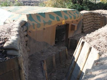
The Asschatterkade dates from 1745, and is one of the longest trenches of the Grebbelinie, with its length of 2500 metres. The trench from 1799 lies east of Leusden, at the edge of the flood plain. But there are also elements from more recent history which can be found.
The nine visible military bunkers, for example, were built during the mobilisation between 1939-1940. There is also a unique concrete tank barrier from this time. During the May Days of 1940, the Germans attempted in vain to break through the defences.
3831 JP Leusden -
-
Teahouse Mon-Chouette
Teahouse Mon-Chouette
3831 JZ Leusden