odp
145 to 168 of 301 locations
-
Visitor Centre De Boswerf
Visitor Centre De Boswerf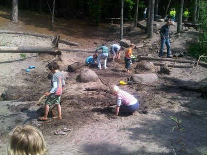
3708 BR Zeist -
TOP Zeist Castle
TOP Zeist Castle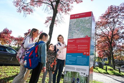
3703 CE Zeist -
Fort on the Ossenmarkt
Fort on the Ossenmarkt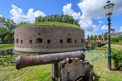
Ossenmarkt 44
1381 LX Weesp -
National Military Museum
National Military Museum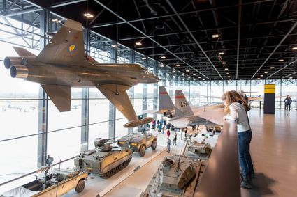
Verlengde Paltzerweg 1
3768 MX Soest -
Stayokay Utrecht Centrum
Stayokay Utrecht Centrum
3512 AD Utrecht -
Dunes of Soest
Dunes of Soest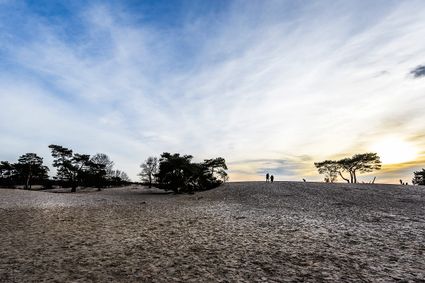
-
Fort 't Hemeltje
Fort 't Hemeltje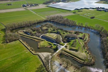
3992 LX Houten -
Groene Entree & recreatie Doornse Gat
Groene Entree & recreatie Doornse Gat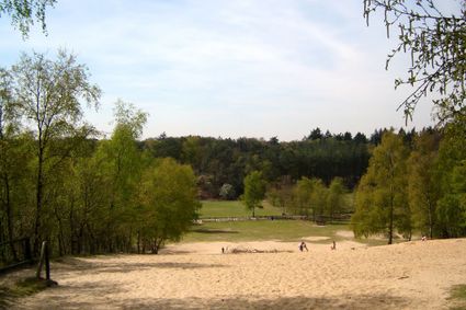
3941 MN DOORN -
Nationaal Bomenmuseum Gimborn
Nationaal Bomenmuseum Gimborn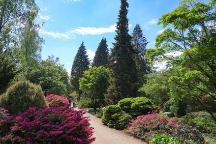
3941 BZ Doorn -
Batteries on the Karnemelksloot
Batteries on the Karnemelksloot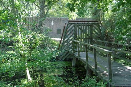
Verlengde Fortlaan 116
1411 EA Naarden -
TOP Park Vliegbasis Soesterberg
TOP Park Vliegbasis Soesterberg
3768 MX Soest -
Restaurant-Chalet Klein Zwitserland
Restaurant-Chalet Klein Zwitserland
3971 GM Driebergen-Rijsenburg -
TOP Linschoten
TOP Linschoten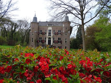
Noord Linschoterdijk 1 (tegenover nr. 1)
Linschoten -
Hoeve Ravenstein
Hoeve Ravenstein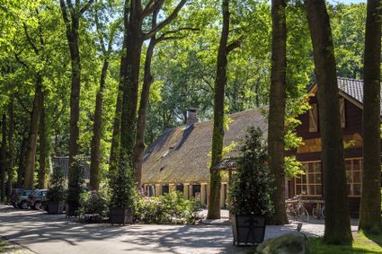
3744 ML Baarn -
TOP Laagraven
TOP Laagraven
3439 ZZ Nieuwegein -
Restaurant Rederij De Eemlust
Restaurant Rederij De Eemlust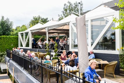
3741LC Baarn -
TOP citypark Oudegein
TOP citypark Oudegein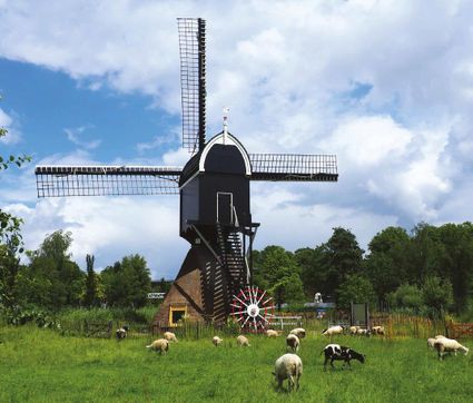
3432 NE Nieuwegein -
The Green House
The Green House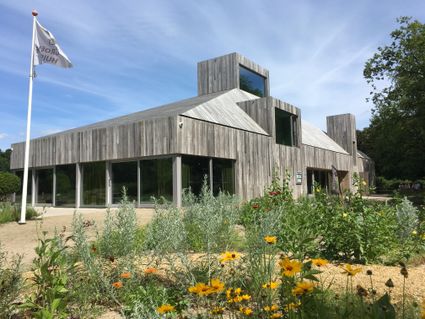
3822 NA Amersfoort -
Windmill Ter Leede
Windmill Ter Leede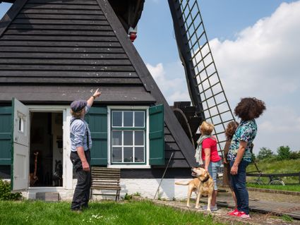
Provinciale weg 2
4142 LD Leerdam -
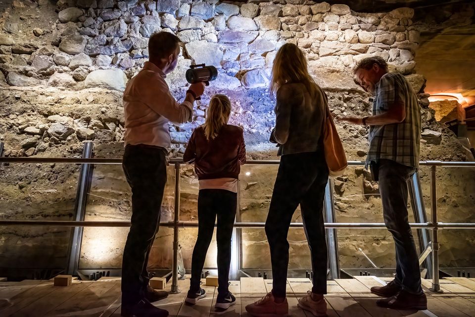
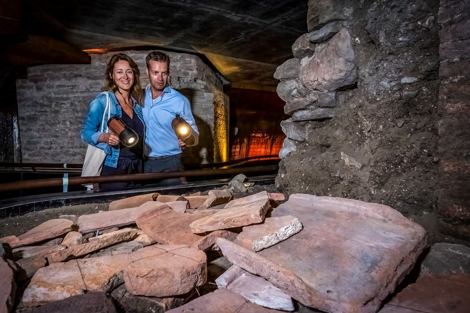
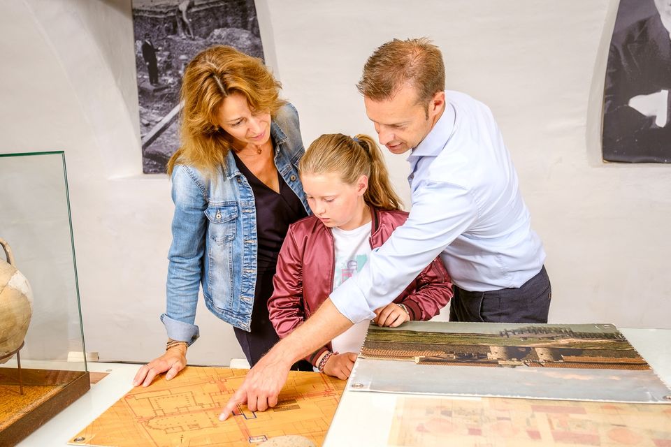
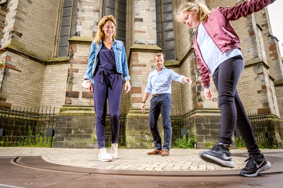
DOMunder
DOMunder
DOMunder uncovers the rich history of one of Utrecht's most significant locations: Domplein. Guided by an expert and equipped with your own smart flashlight, you will explore the place where the city of Utrecht was born. Go underground and discover archaeological remains and exciting stories.

3512 JC Utrecht -
-
TOP ‘t Jagershuys
TOP ‘t Jagershuys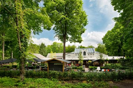
3707 HW Zeist -
Fort Maarsseveen
Fort Maarsseveen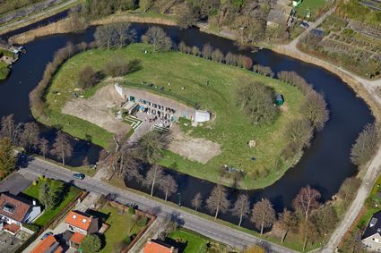
Herenweg 2
3602 AM Maarssen -
B&B Kasteel Sterkenburg
B&B Kasteel Sterkenburg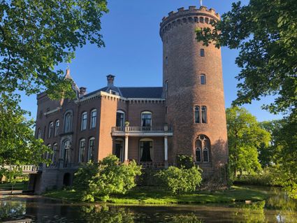
3972 ND Driebergen-Rijsenburg -
Dagwinkel Aloys Hageman
Dagwinkel Aloys Hageman
Voorstraat 15
3633 BB Vreeland