odp
97 to 120 of 298 locations
-
Molen de Ster
Molen de Ster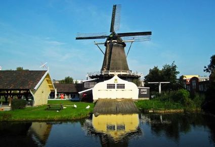
-
TOP 't Hooge Erf
TOP 't Hooge Erf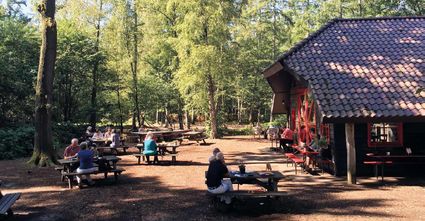
3749 AB Lage Vuursche -
TOP City harbour Wijk bij Duurstede
TOP City harbour Wijk bij Duurstede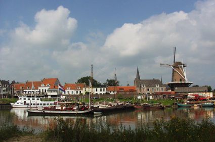
Havenweg
3961 AW Wijk bij Duurstede -
Linschoten country Estate
Linschoten country Estate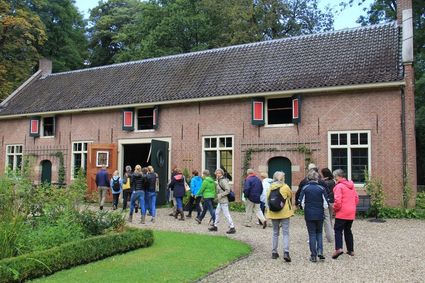
3461 AC Linschoten -
Stayokay Utrecht Centrum
Stayokay Utrecht Centrum
3512 AD Utrecht -
Kerckebosch Castle****
Kerckebosch Castle****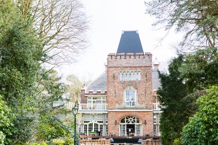
3708 AA Zeist -
Restaurant De Dennen
Restaurant De Dennen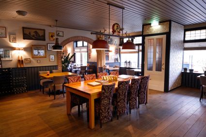
3927 AW Renswoude -
TOP Haarzuilens
TOP Haarzuilens
Bochtdijk 2
3455 SN Utrecht -
Amersfoort Zoo
Amersfoort Zoo
3819 AC Amersfoort -
Fortress Nieuwersluis
Fortress Nieuwersluis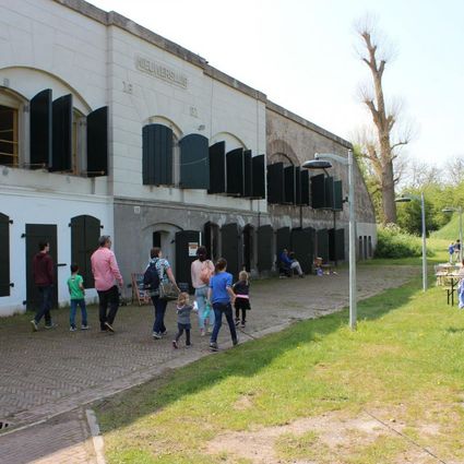
Rijksstraatweg 7B
3631 AA Nieuwersluis -
TOP Vinkeveense Plassen, Vinkeveen
TOP Vinkeveense Plassen, Vinkeveen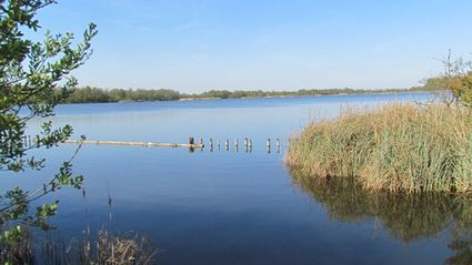
3645DA Vinkeveen -
Molen de Windhond
Molen de Windhond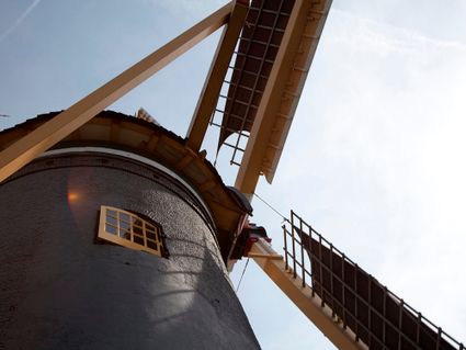
3447 GR Woerden -
Stoomgemaal Teijlingens Kamerik
Stoomgemaal Teijlingens Kamerik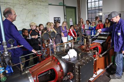
3471 GC Kamerik -
Prattenburg Estate
Prattenburg Estate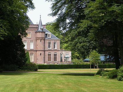
3911 RW Rhenen -
TOP citypark Oudegein
TOP citypark Oudegein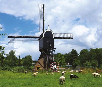
3432 NE Nieuwegein -
Restaurant La Montagne
Restaurant La Montagne
3911 SC Rhenen -
Fort Hoofdijk
Fort Hoofdijk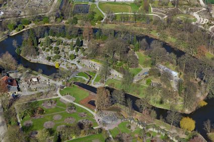
3584 HD Utrecht -
Fort Blauwkapel
Fort Blauwkapel
3566 MK Utrecht -
Fort Maarsseveen
Fort Maarsseveen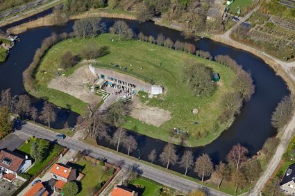
Herenweg 2
3602 AM Maarssen -
Hotel Landgoed Zonheuvel****
Hotel Landgoed Zonheuvel****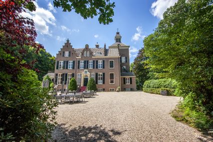
3941 EP Doorn -
Grachten Galerie
Grachten Galerie
3511 NE Utrecht -
Ledig Erf
Ledig Erf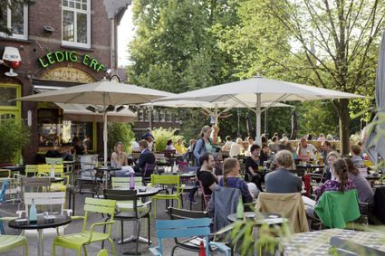
Tolsteegbrug 3
3511 ZN Utrecht -
Windmill Windhond
Windmill Windhond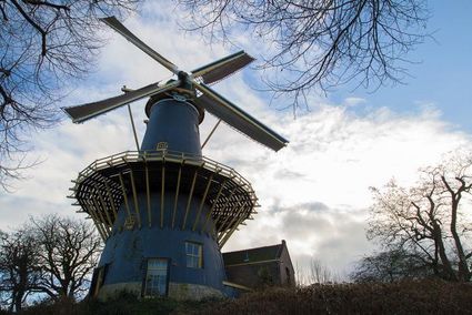
3447 GR Woerden -
Soesterberg Park Air Base
Soesterberg Park Air Base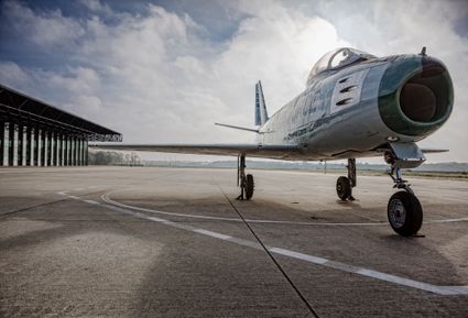
3768 MX Soest