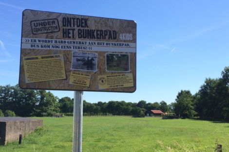


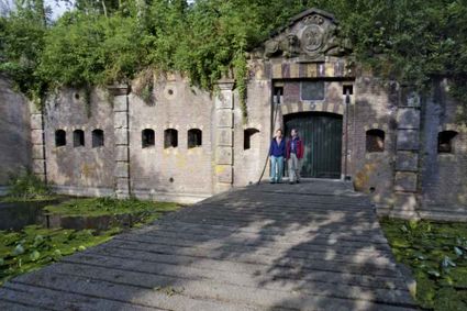
Bunkertrail
This walk is fun for kids aged 6 to 12, but the beautiful route offers plenty to interest adults too. Using your smartphone, you'll explore the area between the forts at Vechten and Rijnauwen. The trail cuts across a meadow filled with bunkers – or group hiding places, as they're officially known. In the AbelLife app, you can read all about the local nature and wildlife, the forts and the life of wartime soldiers. For kids: At the end of the walk, test your knowledge in the app's quiz and then collect a surprise at the Waterline Museum in Fort bij Vechten or at the Vroeg restaurant.
Take a look


Locations on this route
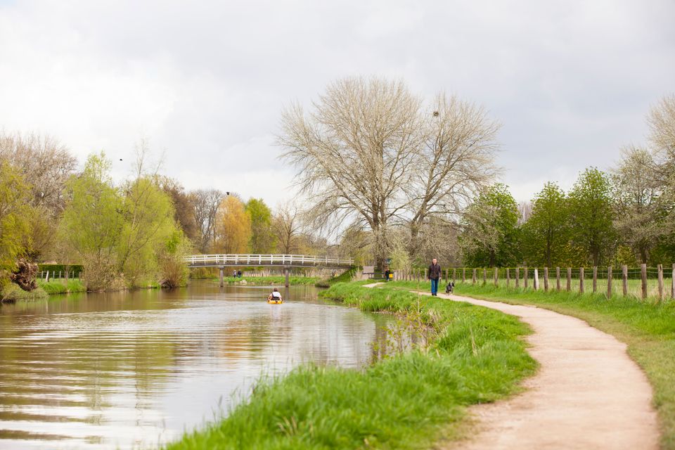
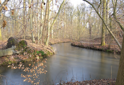
Amelisweerd - Rhijnauwen
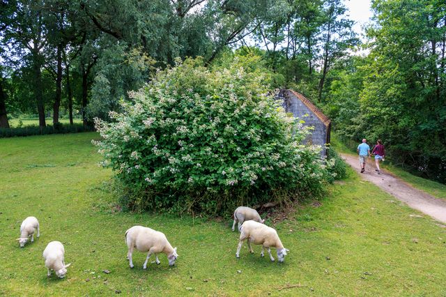
The Oud Amelisweerd, Nieuw Amelisweerd and Rhijnauwen country estates have a storied history. This area also has very special flora and fauna. It is a wonderful place for walks and other recreational activities.
Directions
- This route starts from the car park at the Amelisweerd estate. From here, walk in the direction of the estate.
- After passing the estate and crossing the water, turn right onto Dwarslaan.
- On the right, you will see a farm. Take the following left turn.
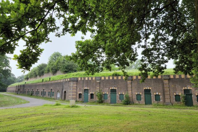
- Continue until you reach a paved road (Vossegatsedijk). Turn left onto this road, and then right immediately after. Continue walking along the water past Fort Rijnauwen.
- At the end of the path, turn right. Soon after this, you will see another two paths on the right. For this route, take the second path.
- After a while, you will come to an intersection. Turn left, towards the Theehuis (Tea House). Facing the tea house entrance, turn right, and then go left through the gate.
- After passing through the gate, go straight ahead and cross the bridge. After the car park, turn right into the meadow. Continue along this path, Bunkerpad, to return to the starting point.
- 73
- 93
- 22
- 11
- 17
- 23
- 74
- 72
Attributes
