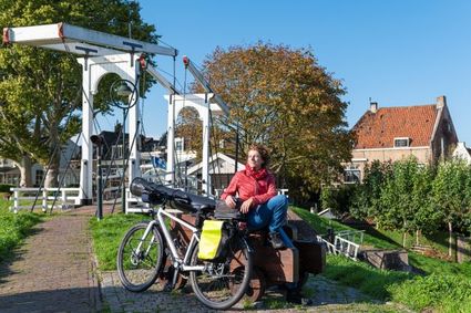
Utrecht World Heritage Weekend Tour
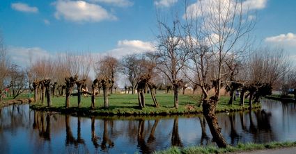
Get ready to travel far back in time on this tour that starts in Utrecht. Beneath Dom Square, you can dive into our Roman past and see the ruins of a Roman castle. After that you’ll cycle along the forts of the New Dutch Waterline, which lie in the east of Utrecht and once protected the city. The route will also take you through the Alblasserwaard and Lopikerwaard, old polder areas with meadows, levees, knotted willows and farms.
Three Weekend Tours
Go on a journey of discovery across a distinctive military l…
Get ready to travel far back in time on this tour that starts in Utrecht. Beneath Dom Square, you can dive into our Roman past and see the ruins of a Roman castle. After that you’ll cycle along the forts of the New Dutch Waterline, which lie in the east of Utrecht and once protected the city. The route will also take you through the Alblasserwaard and Lopikerwaard, old polder areas with meadows, levees, knotted willows and farms.
Three Weekend Tours
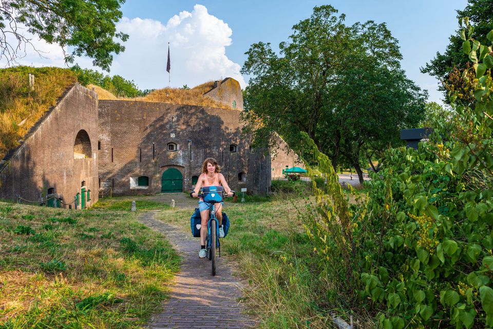
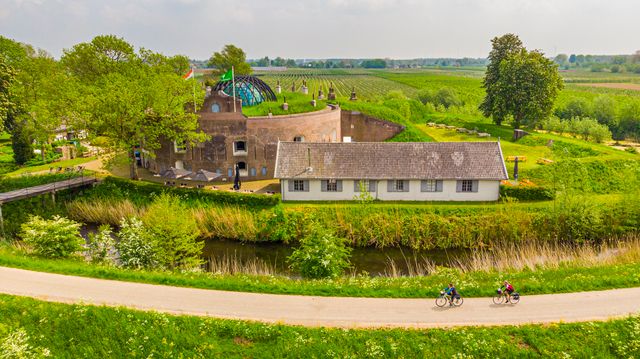
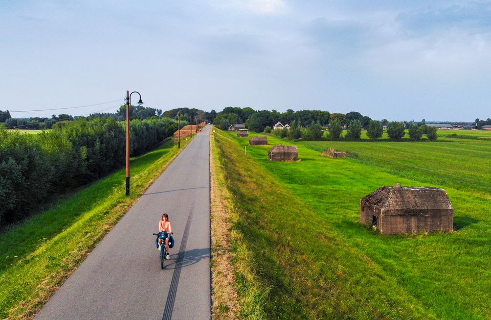
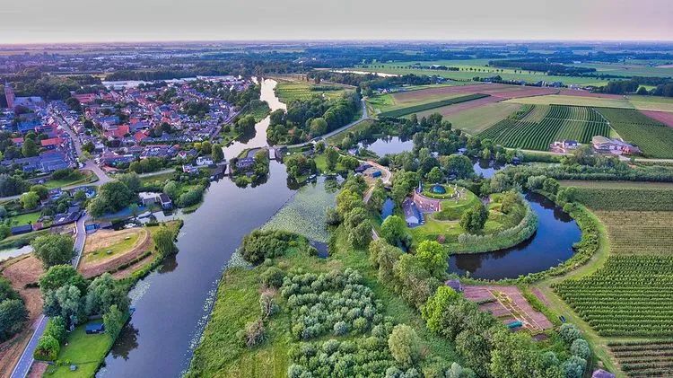
Go on a journey of discovery across a distinctive military landscape and cycle through up to five defence lines and 2,000 years of military history. During three weekend tours ranging from 100 to 125 kilometres that largely run through the Province of Utrecht, you’ll enjoy a mix of stunning natural scenery, robust fortresses, wide rivers and beautiful terraces. The tours run along marked cycling routes and are therefore easy to follow. You’ll pedal through a charming backdrop of waterways, greenery and fortified towns that tell the story of days gone by. After relaxing and refreshing with a tasty beer at one of the forts, you’ll continue cycling along fortresses, dykes, sluices, canals, casemates, group shelters and large green areas that could be flooded on command: an ingenious system that used to protect the Netherlands against enemy troops. You can also enjoy the three weekend tours during the week, of course. Hop on your bike and explore these traditional Dutch defence lines.
Utrecht’s defence lines
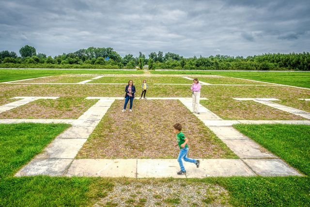
Dive into the unique story of the Roman limes, the Old Dutch Waterline, the Grebbe Line and the Dutch Water Defence Lines (made up of the New Dutch Waterline and the Defence Line of Amsterdam). The weekend tours tell the story of 2,000 years of military history. You’ll immerse yourself in our centuries-long battle against the enemy, in which water played a leading role. Nowhere in the world are water managers as creative as in the Netherlands, where a large part of the country lies below sea level. Dykes, dams and sluices keep our feet dry, but they also come in handy when flooding a piece of land to create an obstacle for the enemy: too deep to wade through, too shallow to sail. And so our unique military defence lines took shape over the centuries with forts, sluices, strategic landscape and natural features.
Take a look


Locations on this route
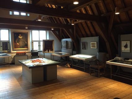
DOMunder
Discover 2000 years of history underneath the Domplein square.
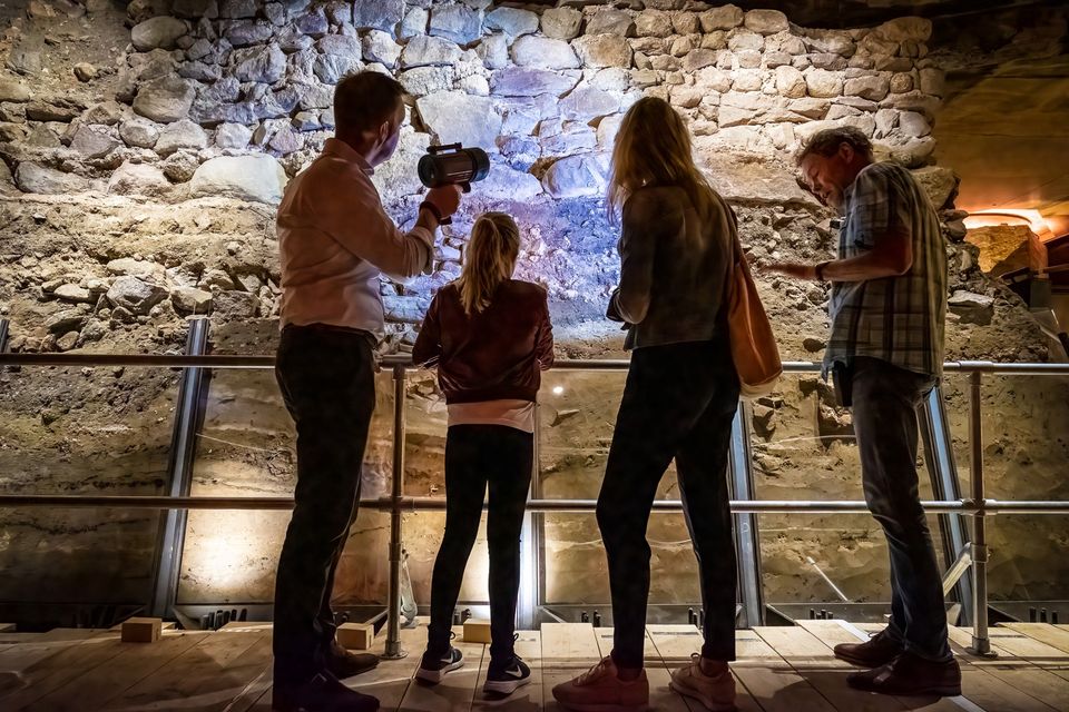
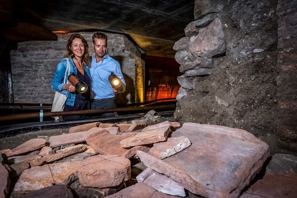
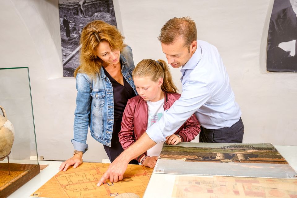

DOMunder
DOMunder uncovers the rich history of one of Utrecht's most significant locations: Domplein. Guided by an expert and equipped with your own smart flashlight, you will explore the place where the city of Utrecht was born. Go underground and discover archaeological remains and exciting stories.

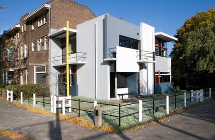
Rietveld Schröderhuis
This is the masterpiece of Gerrit Rietveld, the designer who built the house in 1924, commissioned by the wilful Truus Schröder.
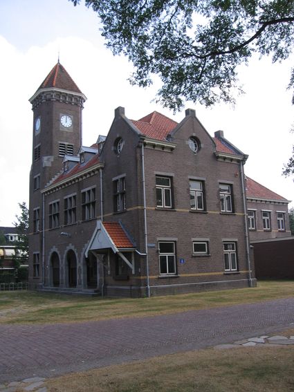
Kromhout Barracks and Fort Vossegat
Since the 19th century, Utrecht has been crucially important due to all its barracks. In the Kromhout Barracks, built in 1913, Major General Kromhout and his engineers worked on designs for the...
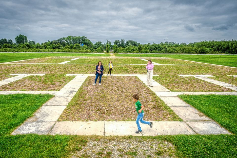
Castellum Fectio
Near Fort Vechten, the outline of the Roman fortress Castellum Fectio has been marked out. The past is brought back to life in an audio tour, which can be downloaded via the izi.travel app. Why...
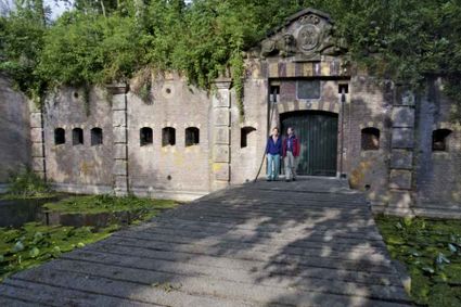
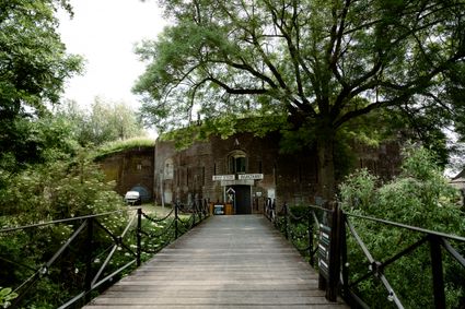
Fort at 't Hemeltje
Fort 't Hemeltje dates from 1877-1881 and is the last built fort of the New Dutch Waterline. It defended a strip of land that could not be flooded and the 's-Hertogenbosch-Utrecht railway line....

Fort at 't Hemeltje
Fort 't Hemeltje dates from 1877-1881 and is the last built fort of the New Dutch Waterline. It defended a strip of land that could not be flooded and the 's-Hertogenbosch-Utrecht railway line. Nowadays, Fort bij 't Hemeltje is largely used as office space for various entrepreneurs who are active in the field of sustainability. The fort also offers shelter to (breeding) birds and bats.
There is a walking route around the fort and there is an exciting spy route with fun assignments for children. In addition, the fort is regularly open to the public, for example during Open Heritage Days.
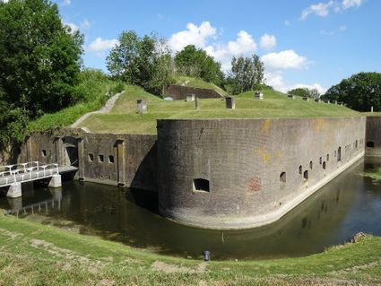
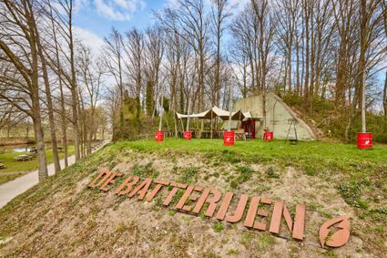
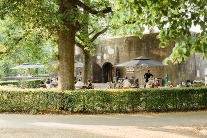
Fort de Batterijen
Covering two hectares of ground, Fort de Batterijen is a magnificent outdoor location. Fort de Batterijen comprises two monumental buildings, each with their own distinctive atmosphere: the arti...
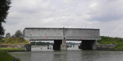
Plofsluis
The Plofsluis consists of five concrete bins with a relatively weak floor that span the Amsterdam-Rhine Canal. The bins could store around 40,000 tonnes of sand, gravel or debris. In wartime, th...
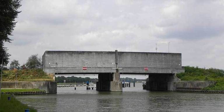
Plofsluis
The Plofsluis consists of five concrete bins with a relatively weak floor that span the Amsterdam-Rhine Canal. The bins could store around 40,000 tonnes of sand, gravel or debris. In wartime, the floor could be blow up, so that its contents would drop into the Amsterdam-Rhine Canal. This would block the canal and prevent the inundation water from flowing out. The lock was designed in such a way that its sides would remain upright after the explosion, so that the floor could be reconstructed and the sluice could be used again. It was never actually used.
Fort Jutphaas
This fort near the hamlet of Jutphaas was built in around 1820 to protect the old road between Houten and Montfoort.

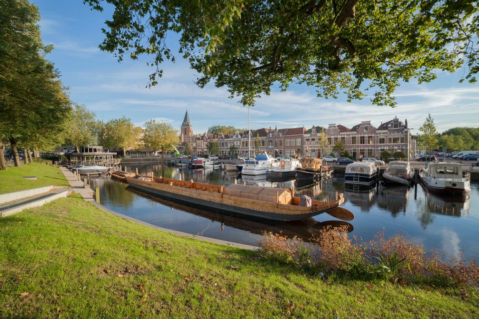
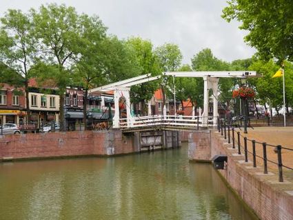
Vreeswijk
The old town is a historical treasure trove that is just begging to be explored. Wandering through Vreeswijk, you will come across beautiful façades, monumental buildings and narrow passageways....
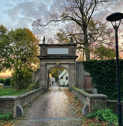
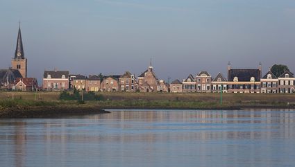
Vianen
Little or nothing is known about the history of the town of Vianen. The first recorded mention of Vianen was as Vyanen Castle, which was granted the right to hold a market twice a year in 1270....
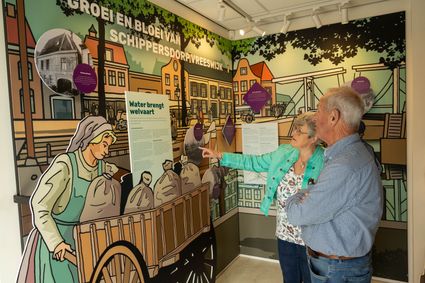
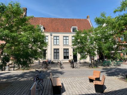
Vianen Municipal Museum
Those wishing to learn more about Vianen, the history of the town and the artistic, cultural and historical heritage have reached the right place at Vianen Municipal Museum.
Fort Everdingen
Destroyed towns and castles, plundering and domestic (and foreign) wars: every town and village has its own story to tell. Everdingen was put on the Dutch military map in the 19th Century as part of the New Dutch Water Line.
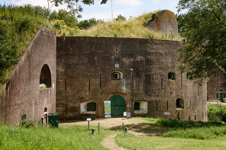
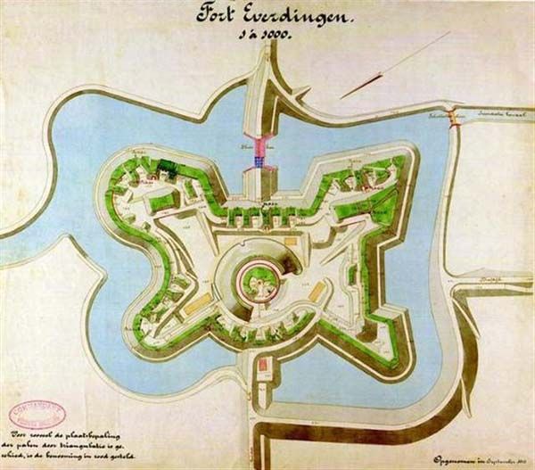

Fort Everdingen
Anyone who delves into the history of the Vijfheerenlanden will soon discover that the now very quiet and peaceful area has a history filled with clashing weapons. Destroyed towns and castles, plundering and domestic (and foreign) wars: every town and village has its own story to tell. Everdingen was put on the Dutch military map in the 19th Century as part of the New Dutch Water Line.
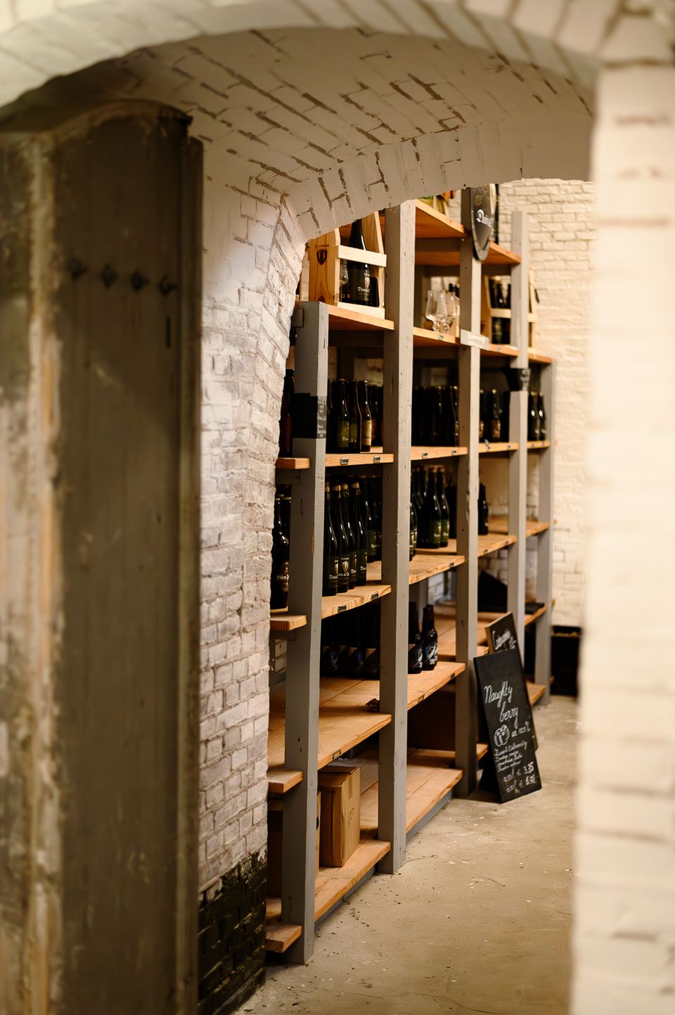
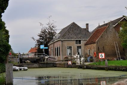
The New Dutch Water Line ran from the former Zuiderzee near Muiden to the Biesbosch near Werkendam and consisted of a variety of defences and inundation fields (areas that could be placed underwater). Fort Everdingen was built between 1842 and 1847 and, together with Fort Honswijk, formed the Lek access on the other side of the Lek. The surrounding land could be flooded using inundation locks. The fort itself was walled and well defended by a variety of casemates. The new Dutch Water Line was prepared 3 times. At the end of World War II, German forces used the line as a defence against the advancing Allies. Fort Everdingen lost its defensive function after the war. The military Explosive Ordinance Disposal service used the fort until 2014. It’s now home to the German & Lauret brewery, which uses the special water filtering system in their brewery. It’s also an over-wintering place for many bats.
Further reading: Batestein Castle, Hagestein Castle, Vianen Castle, Brederode statue, Everdingen village centre, Vianen water tower.

Diefdijk
This centuries-old long dyke marks the border between the Betuwe to the east and the lowlands to the west. The purpose of the Diefdijk was to protect the lower-lying meadows whenever the higher...
Diefdijk
This centuries-old long dyke marks the border between the Betuwe to the east and the lowlands to the west. The purpose of the Diefdijk was to protect the lower-lying meadows whenever the higher Betuwe flooded. The dyke was reinforced in 2015 and still serves its purpose today. It was also part of the New Dutch Waterline: the area to the east of the dyke served as an inundation area. To this day, this area remains scarcely built up. Nature reserves of various sizes border the dyke on either side.

Fort Asperen
This magnificent tower fort, built between 1845 and 1847, is surrounded by a moat for extra protection. Fort Asperen last saw active use on 12 April 1940, as part of preparations for the coming...


Fort Asperen
This magnificent tower fort, built between 1845 and 1847, is surrounded by a moat for extra protection. Fort Asperen last saw active use on 12 April 1940, as part of preparations for the coming war. However, the Germans flew straight past it. Fort Asperen, which is an artwork in and of itself, is open to visitors in the summer months. The domed roof to keep out the rain, for instance, is made entirely of glass slates designed in the Glassworks at the National Glass Museum.
Ameide
Ameide is a historical old city that is home to many 17th-century buildings, including the delightful city hall. It is situated on the river Lek. A foot ferry to Lopik (on the other side of the...
Nieuwpoort
Nieuwpoort owes its current form to the so-called Disaster Year of 1672. Because the dyke post in Ameide repeatedly fell into the hands of the French, the States of Holland ordered that Nieuwpoo...
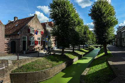
Schoonhoven
Schoonhoven has a long history as a fortified city. Its first defence works date back to the 14th century. Part of the moat is still intact, as is a section of the city wall and the outline of a...
Koeneschans
The Koeneschans is located in the bog river Vlist. This was an ideal place to defend the high and dry road to the east. The sconce had earthen ramparts that were levelled over the course of the...
Goejanverwelle lock
The Goejanverwelle lock and the Enkele Wiericke lock on the Hollandse Ijssel played a key role in the Disaster Year. Together with the lock at Nieuwerbrug on the Oude Rijn, they formed the inlet...

Goejanverwelle lock
The Goejanverwelle lock and the Enkele Wiericke lock on the Hollandse Ijssel played a key role in the Disaster Year. Together with the lock at Nieuwerbrug on the Oude Rijn, they formed the inlet to the Langeweide polder, which was the narrowest section of the Waterline. The locks were opened on 17 June 1672 – just in time to halt the advance of the French, who had already captured Oudewater and marched right up to the edge of the hastily flooded Waterline. With great promptitude, the commander of the garrison at Goejanverwelle, the Count of Horn, gave the order to raise sconces and fortifications to defend the locks. For the moment, the Waterline was safe!
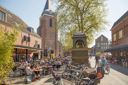
Oudewater
Oudewater is part of the Old Dutch Waterline. Following the Disaster Year of 1672, new defence works were built in the city. These became obsolete when the waterline shifted to the east and the...
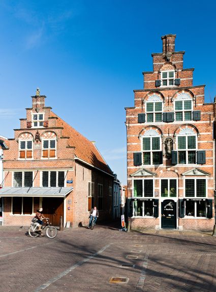
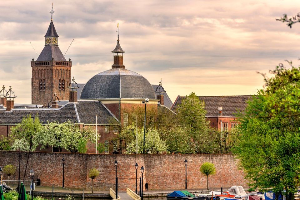
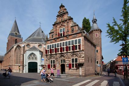
Woerden
Take a stroll through historic Woerden and see ancient Roman history brought to life. Climb the old city walls or descend into the catacombs underneath Woerden Castle. Woerden is a true farmers’...
City Museum Woerden
City Museum is located in Woerden, in the heart of Woerden to be exact.
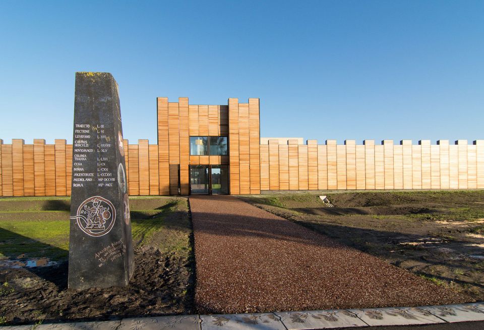
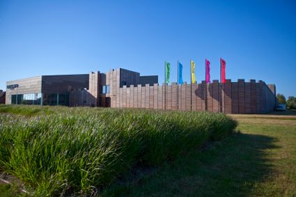
Castellum Hoge Woerd
Castellum Hoge Woerd, situated in Utrecht’s Leidsche Rijn neighbourhood, is a modern interpretation of a centuries-old Roman fort.
- 58
- 86
- 21
- 84
- 29
- 77
- 41
- 40
- 53
- 39
- 98
- 35
- 36
- 49
- 93
- 33
- 32
- 55
- 68
- 59
- 6
- 74
- 24
- 23
- 22
- 87
- 17
- 19
- 20
- 10
- 38
- 11
- 12
- 13
- 95
- 40
- 52
- 44
- 45
- 46
- 48
- 99
- 89
- 59
- 39
- 62
- 20
- 64
- 85
- 65
- 84
- 66
- 40
- 14
- 92
- 93
- 94
- 24
- 58
- 69
- 13
- 41
- 84
- 71
- 45
- 72
- 73
- 74
- 36
- 32
- 49
- 25
- 76
- 87
- 21
- 19
- 1
- 48
- 23
- 26
- 16
Attributes