

North Utrecht Waterline cycle route
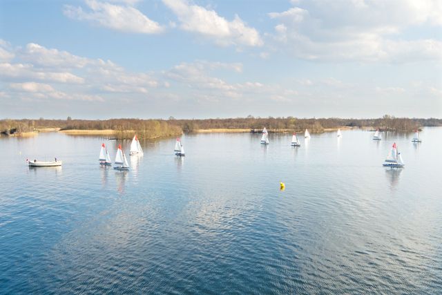
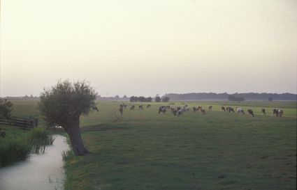
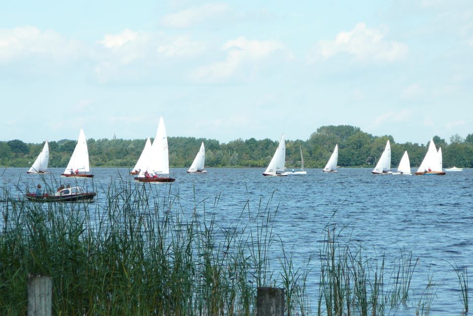
This cycle route takes you from the heart of Utrecht to the Noorderpark-Ruigenhoek, a lush and lovely nature and recreation area, in just 20 minutes. Here, you’ll experience just how beautiful and tranquil nature can be, so close to the bustling city. You’ll also pedal past Westbroek, in its tranquil rural setting, and some of the lakes at Loosdrecht. You will pass four impressive forts belonging to the New Dutch Waterline: Fort Blauwkapel, Fort Ruigenhoek, Fort Maarsseveen and Fort aan de Klop.
Take a look
Locations on this route
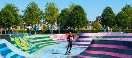
City park Griftpark
Utrecht’s Griftpark is a modern city park situated just outside the city centre.
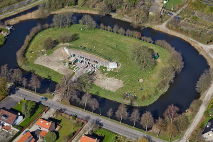
Fort Blauwkapel
Fort Blauwkapel is one of the biggest fortresses of the New Dutch Waterline and was built around an existing village.
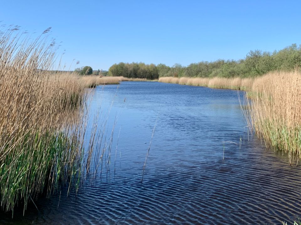
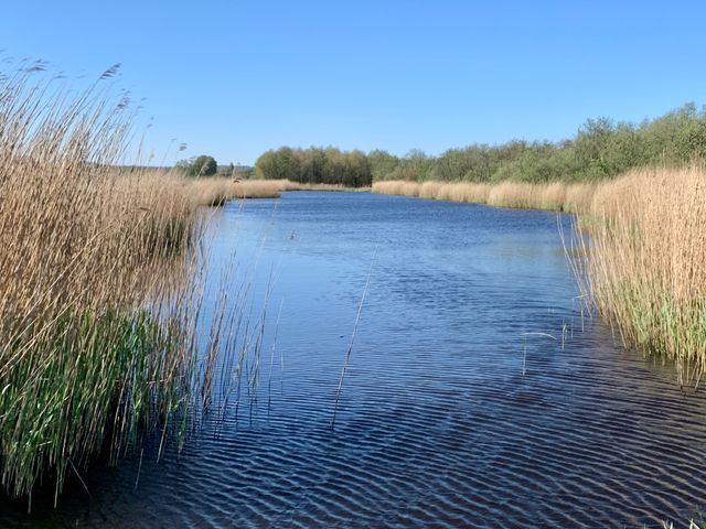
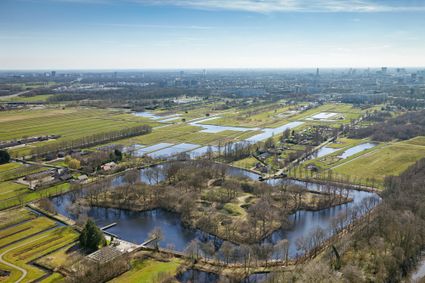
Fort Ruigenhoek
Fort Ruigenhoek is situated on an uninhabited island covered with old, monumental trees and dense undergrowth, criss-crossed by secret paths. The large defence work on the Ruigenhoek dyke was pa...


Fort Maarsseveen
The defence work near Maarsseveen is one of the last ‘forts’ of the New Dutch Waterline, built in 1881 to close off access to the Maarsseveense Vaart.

Fort aan de Klop
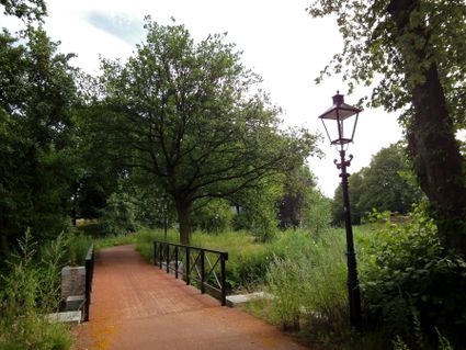
Fort aan de Klop is like a green oasis in the city of Utrecht. You are already there if you cycle fifteen minutes from the Dom along the Vecht. The fort is located on the border of the Overvecht and Zuilen districts.
Directions
This cycle route follows the cycle junction network. Follow the junctions. This cycle route follows the cycle junction network. Follow the junctions: 28 - 90 - 91 - 05 - 32 - 93 - 20 - 29 - 27 - 23 - 62 - 45 - 53 - 72 - 28.
- 31
- 28
- 60
- 18
- 90
- 55
- 91
- 5
- 32
- 93
- 29
- 49
- 27
- 23
- 62
- 45
- 35
- 53
- 72
- 30
- 42
- 28
- 31
Attributes