odp
217 to 240 of 301 locations
-
TOP Marnemoende, IJsselstein
TOP Marnemoende, IJsselstein
2402PG IJsselstein -
Woudschoten Hotel & Conferentiecentrum***
Woudschoten Hotel & Conferentiecentrum***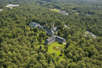
3703 HX Zeist -
Prattenburg Estate
Prattenburg Estate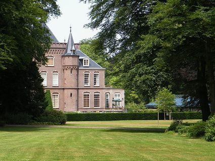
3911 RW Rhenen -
Speelbos (forest playground) Nieuw Wulven
Speelbos (forest playground) Nieuw Wulven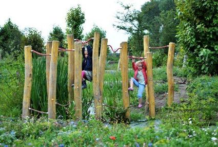
Binnenweg 26
3994 AN Houten -
Grebbe Line Visitor's Centre
Grebbe Line Visitor's Centre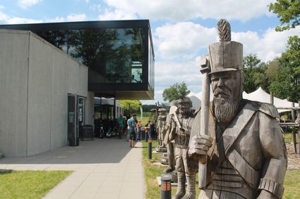
Buursteeg 2
3927EJ Renswoude -
Café-Restaurant-Hotel Buitenlust
Café-Restaurant-Hotel Buitenlust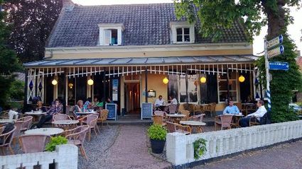
Burg. Jhr. H v.d. Boschstraat 13
3958 CA Amerongen -
TOP trainstation Driebergen-Zeist
TOP trainstation Driebergen-Zeist
Stationsplein, Driebergen
3972 NG Driebergen Rijsenburg -
Schaapskooi Heidestein
Schaapskooi Heidestein
Hoog Kanje 186
3708 XA Zeist -
Museum Hoge Woerd
Museum Hoge Woerd
Hoge Woerdplein 1
3454 PB De Meern -
TOP Laagraven
TOP Laagraven
3439 ZZ Nieuwegein -
Soestdijk Palace
Soestdijk Palace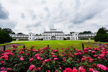
3744 AA Baarn -
Pausdam
Pausdam
3512 HN Utrecht -
Hotel 't Wapen van Harmelen
Hotel 't Wapen van Harmelen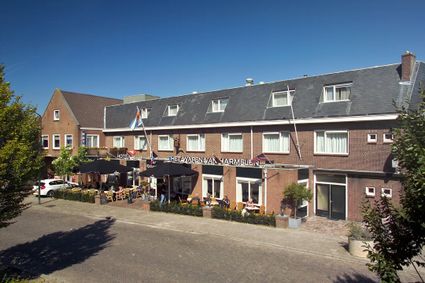
3481 EK Harmelen -
Peking Garden
Peking Garden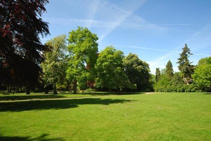
-
Fort Hinderdam
Fort Hinderdam
Hinderdam 7
1394 JB Nederhorst den Berg -
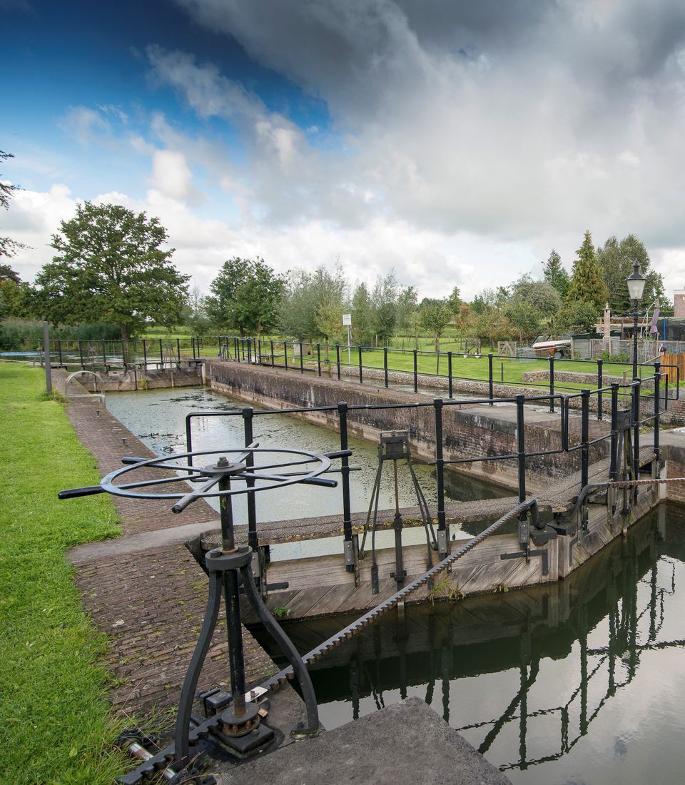
Lock at Cothen
Lock at Cothen
The water board uses the dam in the Kromme Rijn in Cothen to regulate the flow of water to and from Utrecht. The monumental lock alongside it (from 1865) was used during wartime to move ships past the dam. When the Waterline needed to be flooded, the commander of the inundation station at Wijk bij Duurstede first gave the order to raise the water level in the Kromme Rijn by closing off the lock with stop logs. Next, he ordered the stop logs to be removed so that a large body of water could flow from the open lock to Utrecht.
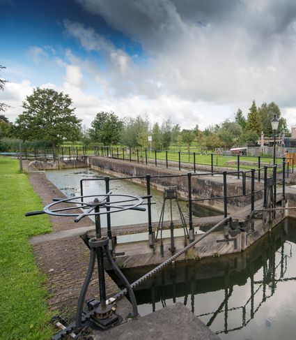
3945BN Cothen -
-
Kerckebosch Castle****
Kerckebosch Castle****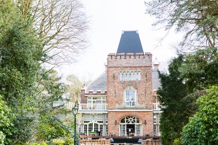
3708 AA Zeist -
Boerderij het Gagelgat: Boerderij van 't Jaar!
Boerderij het Gagelgat: Boerderij van 't Jaar!
Birktstraat 107
3768 HD Soest -
TOP Tea Garden Eemnes
TOP Tea Garden Eemnes
3755 PD Eemnes -
TOP Oortjespad
TOP Oortjespad
Oortjespad
3471HD Kamerik -
-
Wilhelmina city park
Wilhelmina city park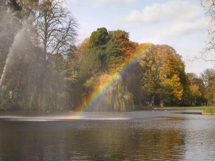
3581 NP Utrecht -
TOP Nationaal Tree museum Gimborn
TOP Nationaal Tree museum Gimborn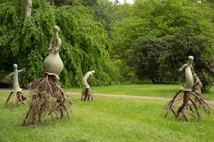
3941 BZ Doorn -
Bike Boat Eemlijn
Bike Boat Eemlijn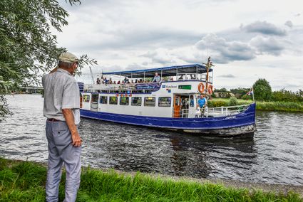
Eemweg 72 (tussen fietsknooppunten 17 en 64)
3741 LC Baarn -
Noorderpark Ruigenhoek
Noorderpark Ruigenhoek
Utrecht