odp
265 to 288 of 301 locations
-
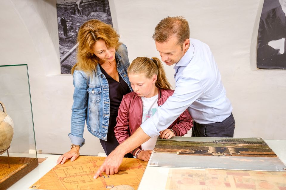
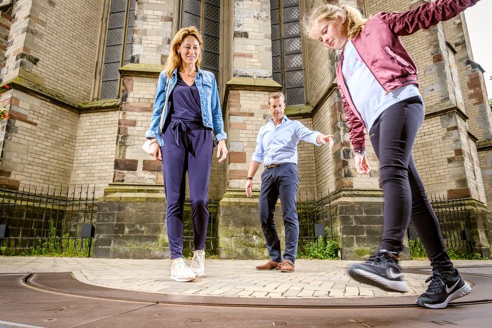
Grebbe line
Grebbe line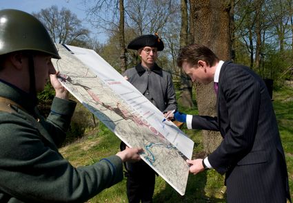
3927 EJ Renswoude -
Fort Tienhoven
Fort Tienhoven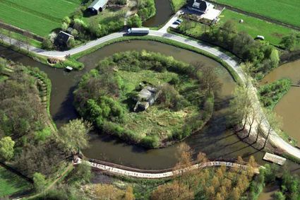
3612 NB Tienhoven -
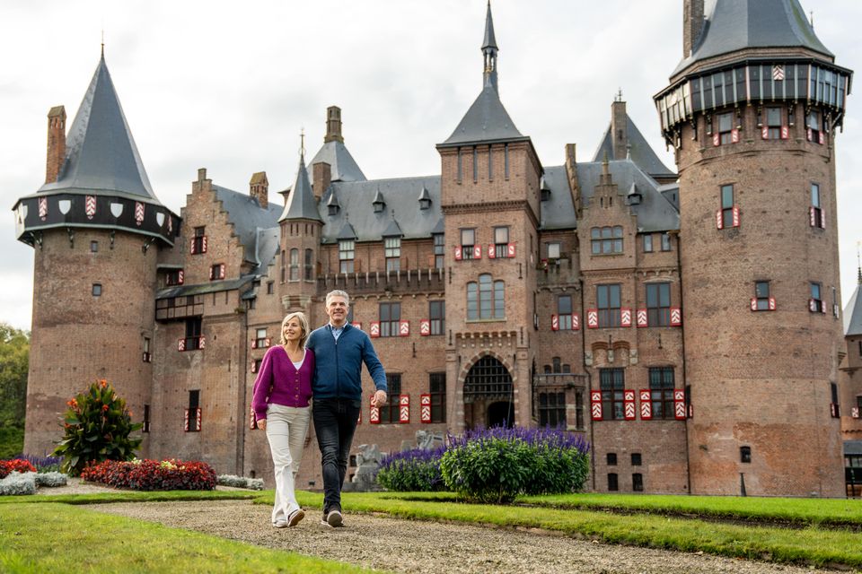
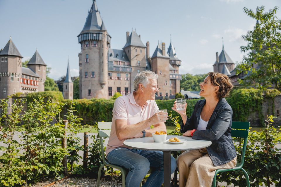
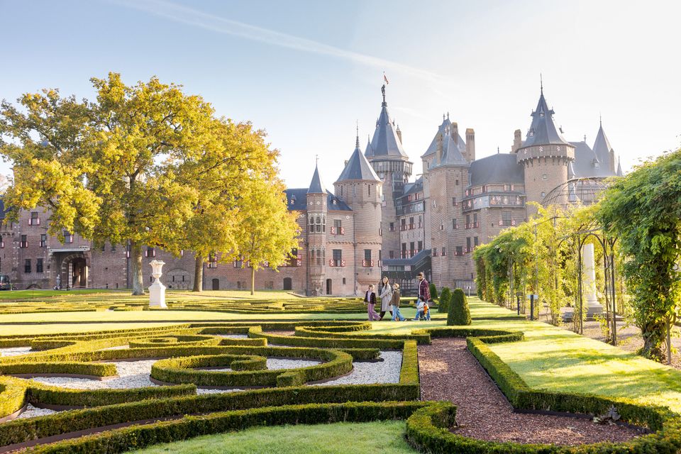
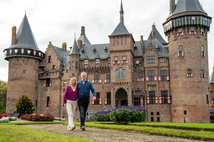
De Haar Castle
De Haar Castle
De Haar Castle is the biggest and most luxurious castle in The Netherlands. It is one of the top European historic houses. A visit to De Haar Castle will take you back to the glory days of the castle and will show you the breathtaking splendour that surrounded the international rich and famous in the early 20th century. You will be amazed at the very un-Dutch luxury in which the Van Zuylen family and their guests lived amidst a wealth of history and art.
Few castles in The Netherlands can equal De Haar for its ideal image of a medieval fortress with towers and ramparts, moats, gates and drawbridges. Like a real fairy-tale castle it rises majestically from parkland with impressive trees, old gardens and ponds. The castle is situated in the centre of The Netherlands, near Utrecht, and is easy to reach by car. There is ample parking space.
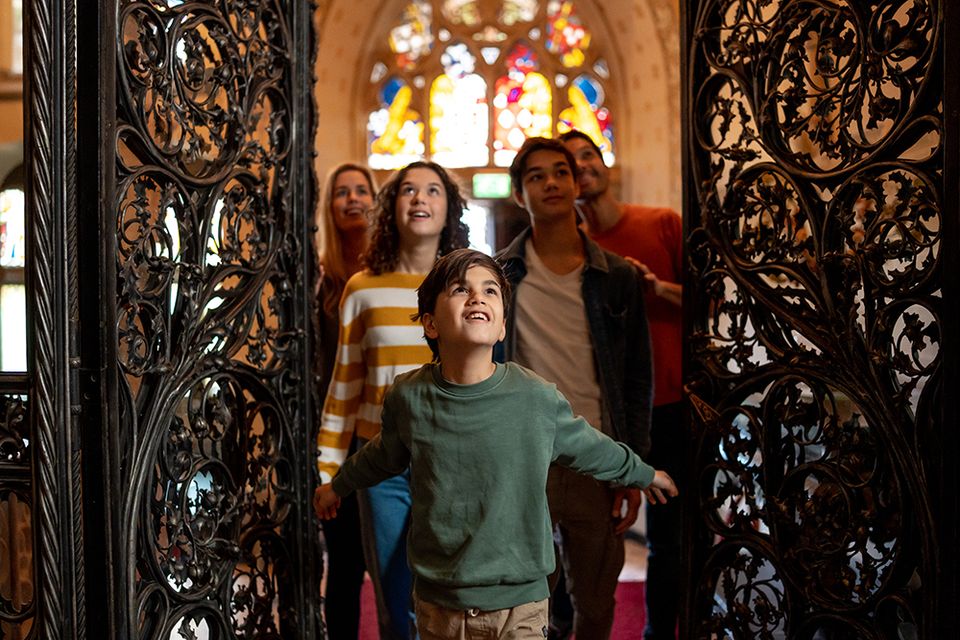
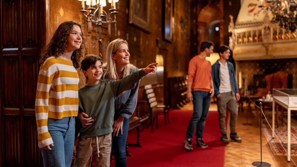
De Haar Castle ranks among the top twenty most visited Dutch museums. It is a historic monument alive with year-round activities such as guided tours (for adults and for children), exhibitions, theatre and events. De Haar Castle is a private foundation and depends entirely on its revenues from ticket sales, activities and events.
3455 RR Haarzuilens -
-
The Great Church of Wijk bij Duurstede
The Great Church of Wijk bij Duurstede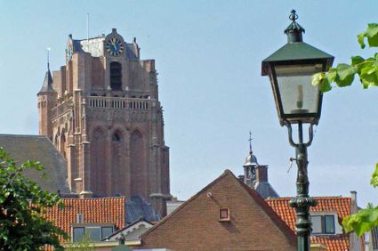
3961 BC Wijk bij Duurstede -
Fort bij Vechten - Waterline Museum
Fort bij Vechten - Waterline Museum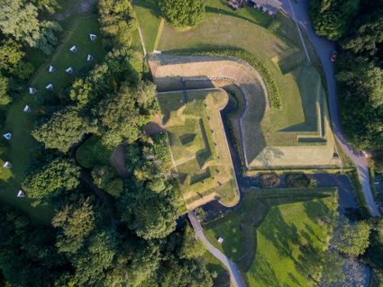
Achterdijk 2
Bunnik -
Eemlandhoeve
Eemlandhoeve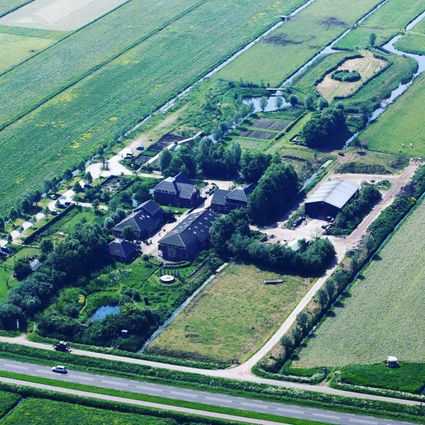
3752 LK Bunschoten-Spakenburg -
The Horse Sanctuary
The Horse Sanctuary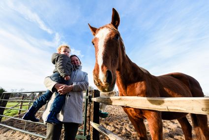
3768 HL Soest -
Kerckebosch Castle****
Kerckebosch Castle****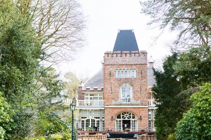
3708 AA Zeist -
Fort Nieuwersluis
Fort Nieuwersluis
3631 AA Nieuwersluis -
Culture Factory
Culture Factory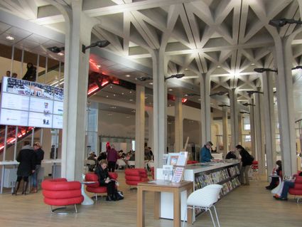
3901 TP Veenendaal -
TOP Museum Spakenburg
TOP Museum Spakenburg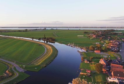
Spakenburg -
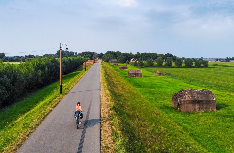
Diefdijk
Diefdijk
This centuries-old long dyke marks the border between the Betuwe to the east and the lowlands to the west. The purpose of the Diefdijk was to protect the lower-lying meadows whenever the higher Betuwe flooded. The dyke was reinforced in 2015 and still serves its purpose today. It was also part of the New Dutch Waterline: the area to the east of the dyke served as an inundation area. To this day, this area remains scarcely built up. Nature reserves of various sizes border the dyke on either side.

Diefdijk
4143 MG Leerdam -
-
The Hernhutter (Moravian Brothers) House
The Hernhutter (Moravian Brothers) House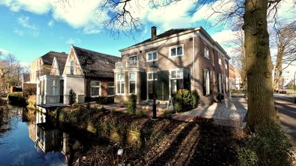
3703 CA Zeist -
Museum Spakenburg
Museum Spakenburg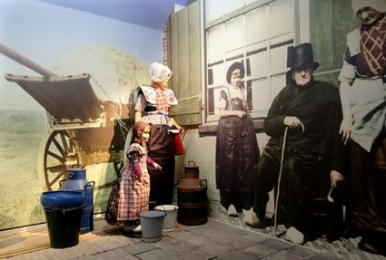
3752 AH Bunschoten-Spakenburg -
Huis Doorn
Huis Doorn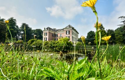
3941 MT Doorn -
TOP Huis Doorn
TOP Huis Doorn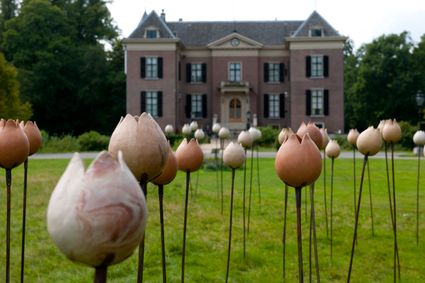
3941 MT Doorn -
Ivn excursie Kwintelooyen
Ivn excursie Kwintelooyen
3911 TA Rhenen -
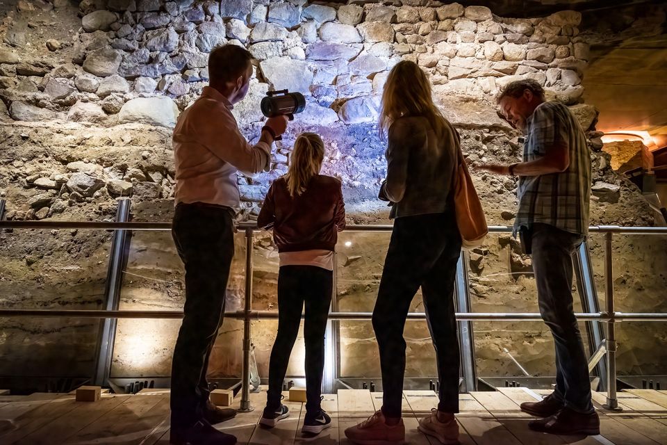
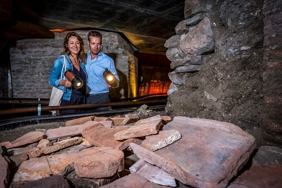
DOMunder
DOMunder
DOMunder uncovers the rich history of one of Utrecht's most significant locations: Domplein. Guided by an expert and equipped with your own smart flashlight, you will explore the place where the city of Utrecht was born. Go underground and discover archaeological remains and exciting stories.

3512 JC Utrecht -
-
TOP De Generaal
TOP De Generaal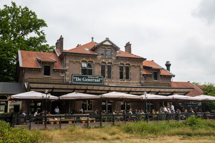
3743 JL Baarn -
TOP ‘t Jagershuys
TOP ‘t Jagershuys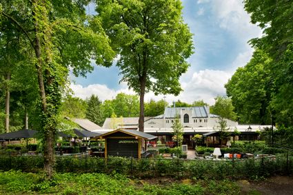
3707 HW Zeist -
National Military Museum
National Military Museum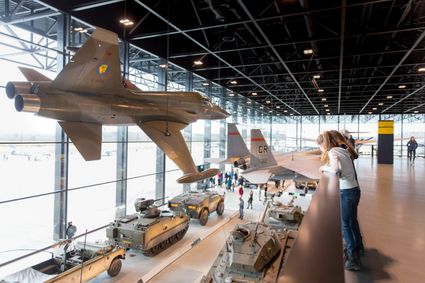
Verlengde Paltzerweg 1
3768 MX Soest -
Museum Castle Amerongen
Museum Castle Amerongen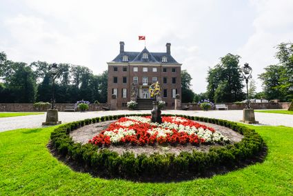
Drostestraat 20
3958 BK Amerongen -
Proeverij de Azijnmakerij
Proeverij de Azijnmakerij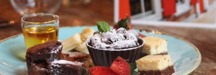
Zeist -
Zoo Amersfoort
Zoo Amersfoort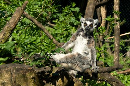
3819 AC Amersfoort