odp
265 to 288 of 297 locations
-
TOP 't Hooge Erf
TOP 't Hooge Erf
3749 AB Lage Vuursche -
TOP De Kuil van Drakensteyn
TOP De Kuil van Drakensteyn
3749 AW Lage Vuursche -
Naarden Vesting
Naarden Vesting
Ruijsdaelplein 10
1411 EA Naarden-Vesting -
Museum Castle Amerongen
Museum Castle Amerongen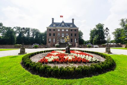
Drostestraat 20
3958 BK Amerongen -
Henschoter lake
Henschoter lake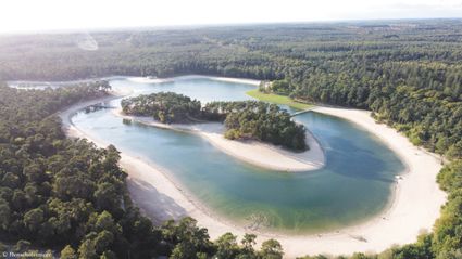
De Heygraeff 2
3931MK Woudenberg -
Fort Everdingen
Fort Everdingen
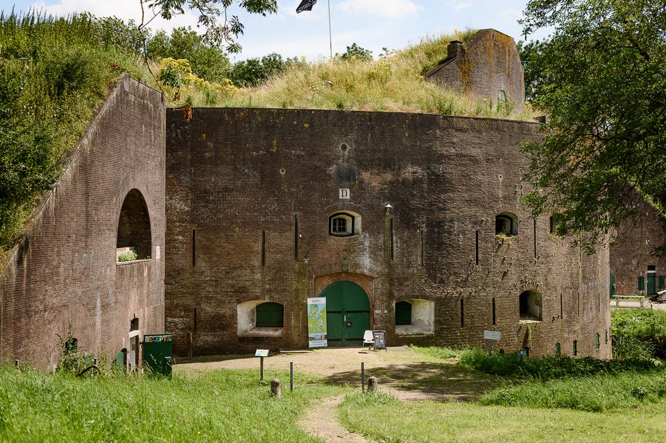
Anyone who delves into the history of the Vijfheerenlanden will soon discover that the now very quiet and peaceful area has a history filled with clashing weapons. Destroyed towns and castles, plundering and domestic (and foreign) wars: every town and village has its own story to tell. Everdingen was put on the Dutch military map in the 19th Century as part of the New Dutch Water Line.
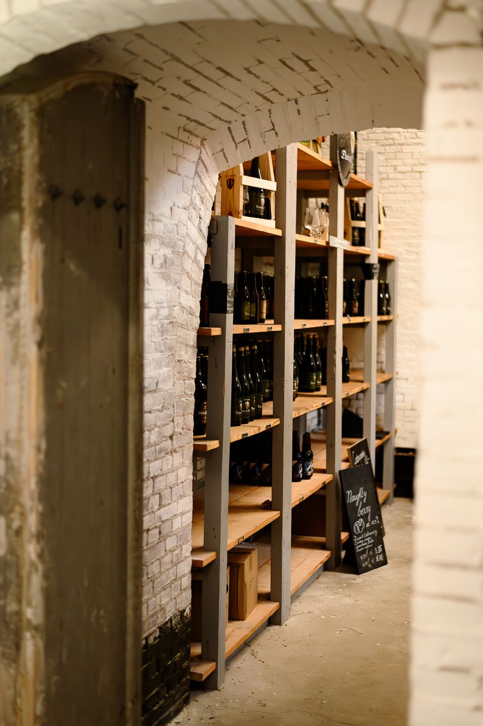
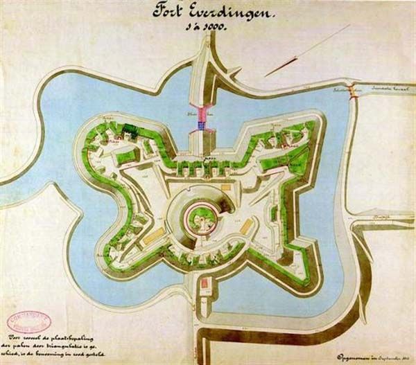
The New Dutch Water Line ran from the former Zuiderzee near Muiden to the Biesbosch near Werkendam and consisted of a variety of defences and inundation fields (areas that could be placed underwater). Fort Everdingen was built between 1842 and 1847 and, together with Fort Honswijk, formed the Lek access on the other side of the Lek. The surrounding land could be flooded using inundation locks. The fort itself was walled and well defended by a variety of casemates. The new Dutch Water Line was prepared 3 times. At the end of World War II, German forces used the line as a defence against the advancing Allies. Fort Everdingen lost its defensive function after the war. The military Explosive Ordinance Disposal service used the fort until 2014. It’s now home to the German & Lauret brewery, which uses the special water filtering system in their brewery. It’s also an over-wintering place for many bats.
Further reading: Batestein Castle, Hagestein Castle, Vianen Castle, Brederode statue, Everdingen village centre, Vianen water tower.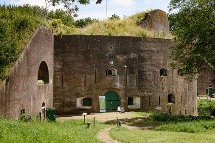
4121 KK Everdingen -
-
TOP trainstation Driebergen-Zeist
TOP trainstation Driebergen-Zeist
Stationsplein, Driebergen
3972 NG Driebergen Rijsenburg -
Winkel van Sinkel
Winkel van Sinkel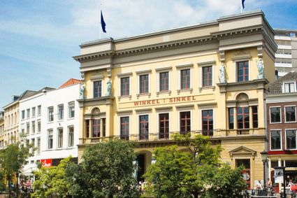
Oudegracht 158
3511 AZ Utrecht -
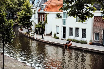
Canals and shipyards
Canals and shipyards
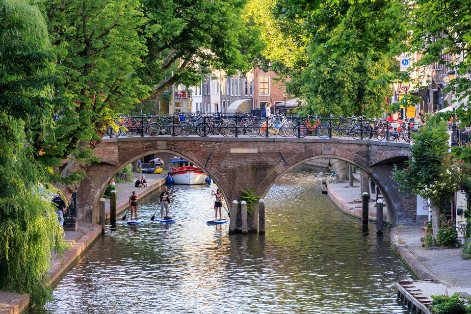
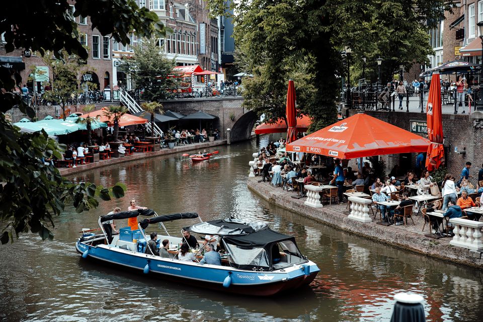
The Utrecht canals with their wharves and wharf cellars are unique in the world.
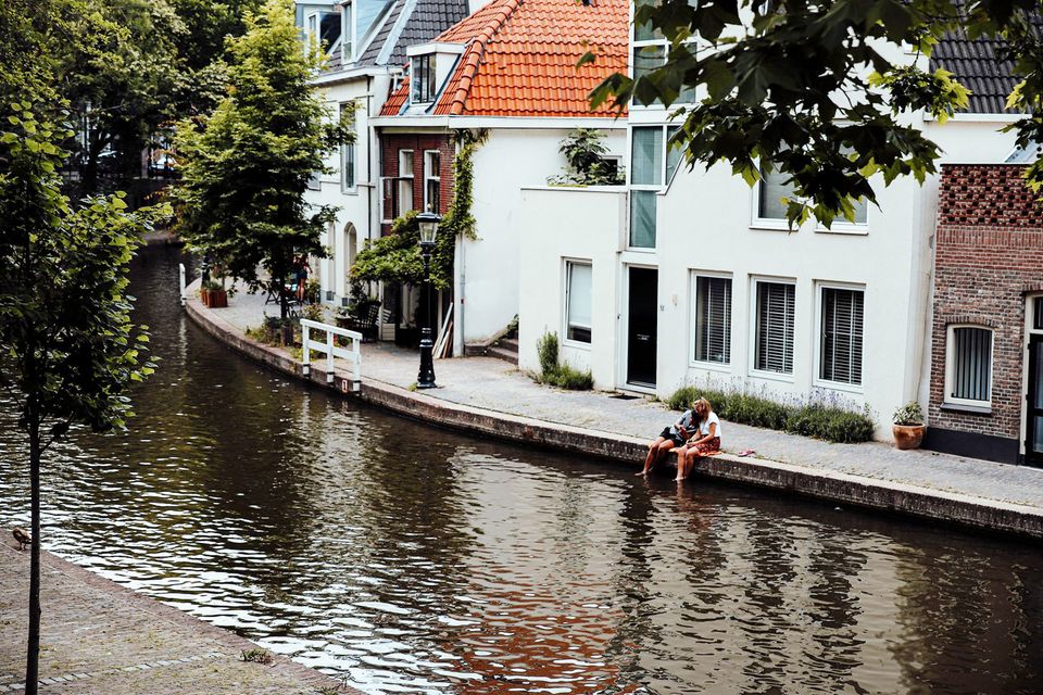
The 12th Century Oudegracht was built to change the course of the Oude Rijn river. Connecting the river Vecht in the north to the Vaartsche Rijn in the south, the Oudegracht was destined to become an elongated harbour. Large city castles were built along the canal and in the 13th Century, shipyards were built as second streets at water level. The deep cellars, serving as storage spaces, ran through to below the houses. Today, the canals and shipyards are home to shops, restaurants and private residences.
3511 AZ Utrecht -
-
Boerderij het Gagelgat: Boerderij van 't Jaar!
Boerderij het Gagelgat: Boerderij van 't Jaar!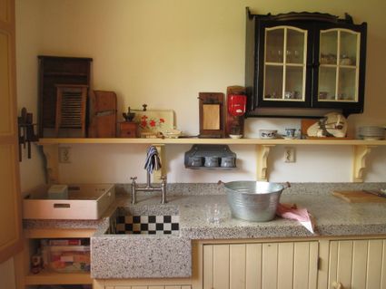
Birktstraat 107
3768 HD Soest -
Woudschoten Hotel & Conferentiecentrum***
Woudschoten Hotel & Conferentiecentrum***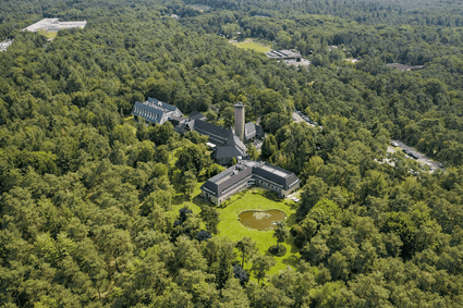
3703 HX Zeist -
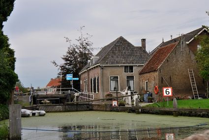
Goejanverwelle lock
Goejanverwelle lock
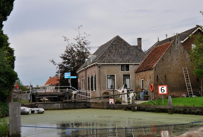
The Goejanverwelle lock and the Enkele Wiericke lock on the Hollandse Ijssel played a key role in the Disaster Year. Together with the lock at Nieuwerbrug on the Oude Rijn, they formed the inlet to the Langeweide polder, which was the narrowest section of the Waterline. The locks were opened on 17 June 1672 – just in time to halt the advance of the French, who had already captured Oudewater and marched right up to the edge of the hastily flooded Waterline. With great promptitude, the commander of the garrison at Goejanverwelle, the Count of Horn, gave the order to raise sconces and fortifications to defend the locks. For the moment, the Waterline was safe!
3467 PR Hekendorp -
-
Dutch Fortress Museum
Dutch Fortress Museum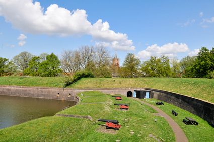
Westwalstraat 6
1411 PB Naarden -
Diefdijk
Diefdijk
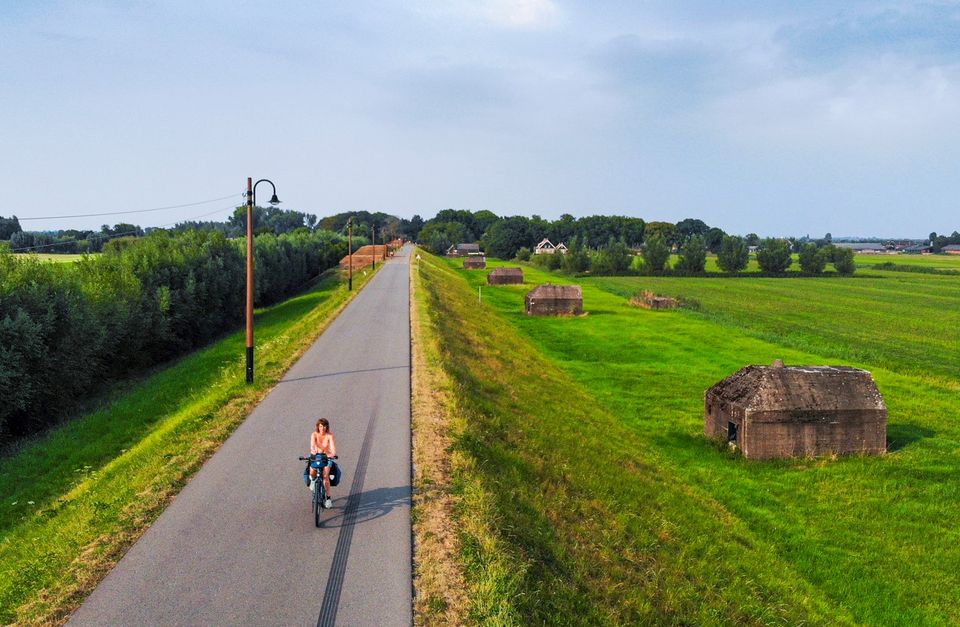
This centuries-old long dyke marks the border between the Betuwe to the east and the lowlands to the west. The purpose of the Diefdijk was to protect the lower-lying meadows whenever the higher Betuwe flooded. The dyke was reinforced in 2015 and still serves its purpose today. It was also part of the New Dutch Waterline: the area to the east of the dyke served as an inundation area. To this day, this area remains scarcely built up. Nature reserves of various sizes border the dyke on either side.

Diefdijk
4143 MG Leerdam -
-
Castellum Hoge Woerd
Castellum Hoge Woerd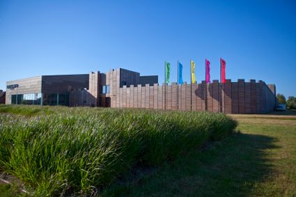
3454 PB De Meern -
TOP Leerdam
TOP Leerdam
Lingedijk 8
4142 LD Leerdam -
Castle Tower in IJsselstein
Castle Tower in IJsselstein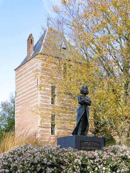
3401 BM IJsselstein -
Muiden
Muiden
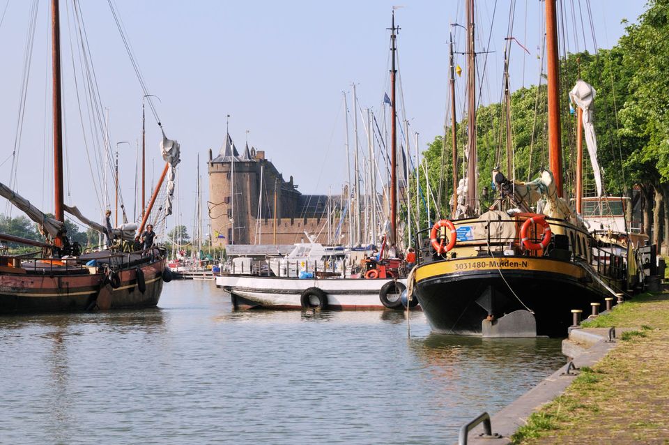
The best way to experience the convivial fortified city of Muiden is to take a stroll by the harbour with its many traditional sailing boats or to settle down at an outdoor café with a view of the Groote Zeesluis. Alternatively, you can explore the fort island of Pampus or visit the centuries-old Amsterdam Castle Muiderslot. Along with Naarden and Weesp, the fortified city of Muiden played an important role. Muiden closed off the Zeedijk dyke and protected the sea and inundation locks of the Vecht. Fort C, also popularly known as ‘the Muizenfort’, has a small museum about the New Dutch Waterline and the Defence Line of Amsterdam.
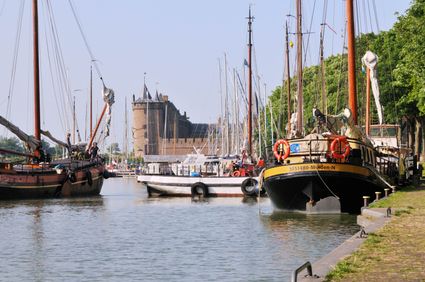
Herengracht
1398 AA Muiden -
-
Geertje’s Hoeve
Geertje’s Hoeve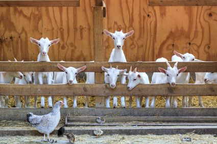
Thematerweg 5
3455 SM Utrecht -
Delicacies from Zeist
Delicacies from Zeist
3701 Zeist -
The Lekpoort
The Lekpoort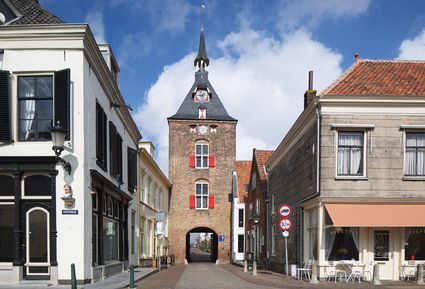
4132 AR Vianen -
Veenendaal Museum
Veenendaal Museum
3901 TP Veenendaal -
TOP Island of Schalkwijk
TOP Island of Schalkwijk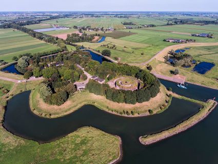
3998 JE Schalkwijk -
Museum IJsselstein
Museum IJsselstein
3401 DS IJsselstein