odp
97 to 120 of 301 locations
-
The Vuursche
The Vuursche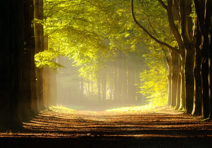
3749 Lage Vuursche -
National Military Museum
National Military Museum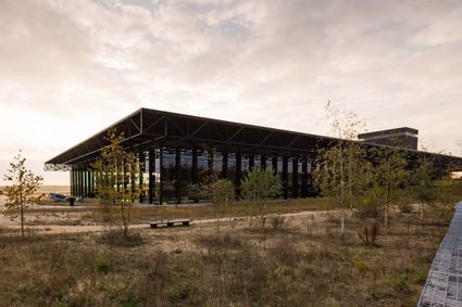
3768 MX Soest -
National Military Museum
National Military Museum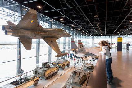
Verlengde Paltzerweg 1
3768 MX Soest -
Fort Everdingen aan de Lek
Fort Everdingen aan de Lek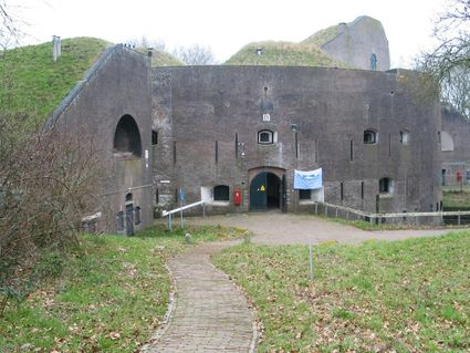
4121 KK Everdingen -
TOP Groot Zandbrink
TOP Groot Zandbrink
3831 SE Leusden -
The Zouweboezem nature reserve
The Zouweboezem nature reserve
An undiscovered gem, full of beautiful flora and fauna. This storage area was dug in the 14th century to collect the excess water between the polders. Now it is an oasis of peace in which grasslands, reed beds and water alternate. Have your camera ready, because the swamp fields are the home and breeding ground for many bird species. The purple heron, the marsh harrier and the china grouse, you can admire them all.
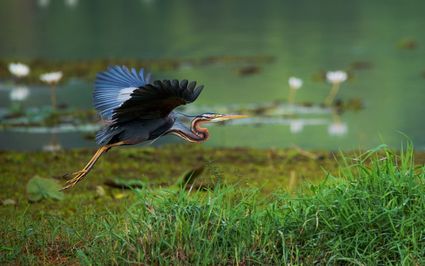
Boezemweg
Lexmond -
-
Tabaksschuur Amerongen
Tabaksschuur Amerongen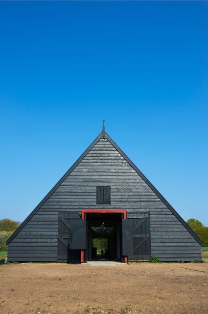
3958 ET Amerongen -
Cunera Hill
Cunera Hill
3911 AC Rhenen -
TOP Ameide
TOP Ameide
4233CL Ameide -
Leersumse Veld
Leersumse Veld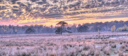
3956 KW LEERSUM -
Peking Garden
Peking Garden
-
Het Monnikenbos
Het Monnikenbos
Birkstraat 150
3768 HP SOEST -
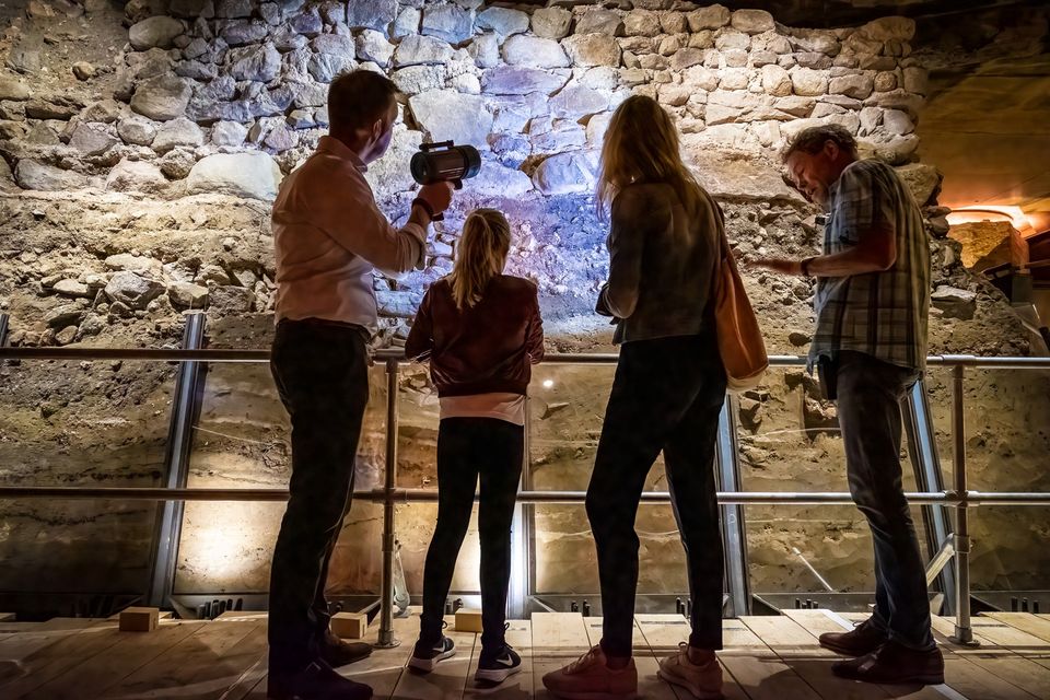
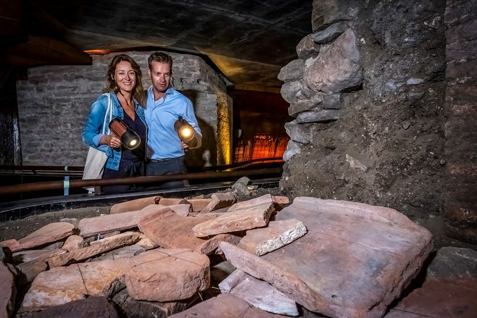
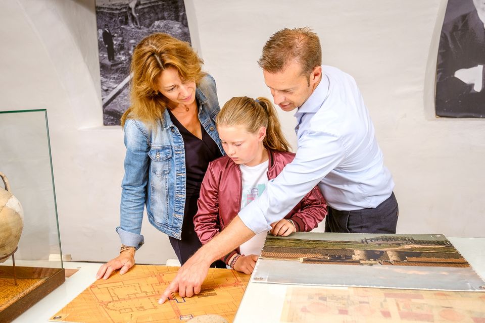
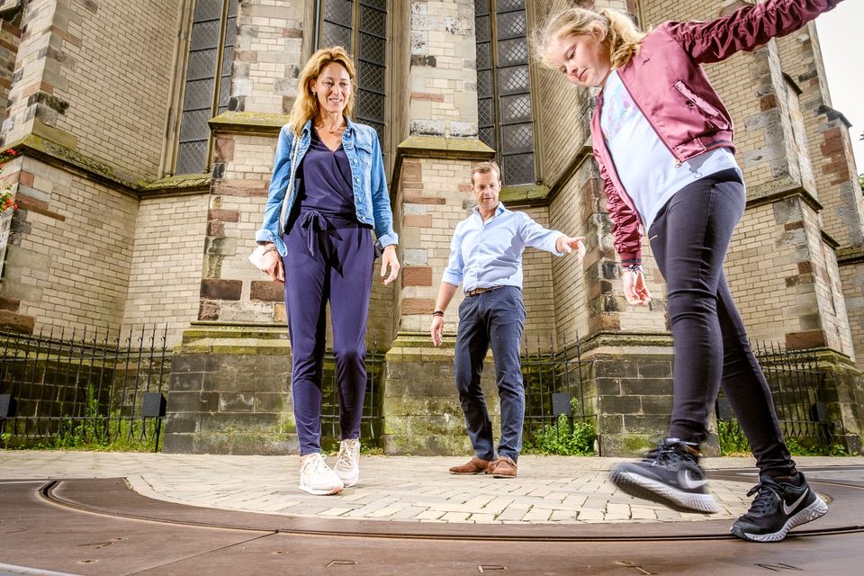
DOMunder
DOMunder
DOMunder uncovers the rich history of one of Utrecht's most significant locations: Domplein. Guided by an expert and equipped with your own smart flashlight, you will explore the place where the city of Utrecht was born. Go underground and discover archaeological remains and exciting stories.

3512 JC Utrecht -
-
Baarn Forest
Baarn Forest
3744 MA Baarn -
Veenendaal Museum
Veenendaal Museum
3901 TP Veenendaal -
Dunes of Soest
Dunes of Soest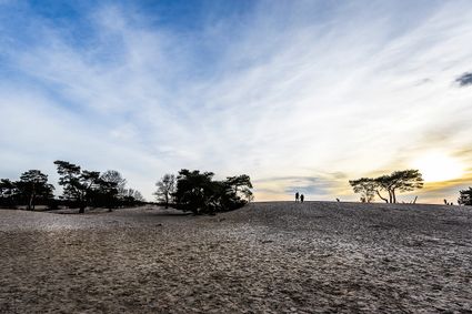
-
Soesterduinen Sand Dunes
Soesterduinen Sand Dunes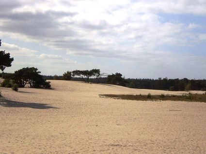
3786 MD Soest -
Inundation lock at Wijk bij Duurstede
Inundation lock at Wijk bij Duurstede
In 1870, the Kromme Rijn was given a key role in the New Dutch Waterline. Back then, it took almost a month to flood the area around Utrecht. This had to be speeded up. To this end, the river was widened, its bends were straightened and locks and dams were built. Near Wijk bij Duurstede, a large inundation lock was built that made Wijk bij Duurstede the ‘tap’ with which to turn on the New Dutch Waterline. This reduced the time needed to flood the inundation areas to between 4 and 12 days. The inlet is still used daily to transport fresh water to the city of Utrecht and the river Vecht.
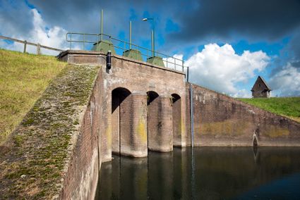
3961CH Wijk bij Duurstede -
-
Breukelen
Breukelen
-
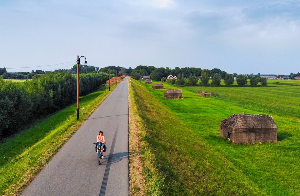
Diefdijk
Diefdijk
This centuries-old long dyke marks the border between the Betuwe to the east and the lowlands to the west. The purpose of the Diefdijk was to protect the lower-lying meadows whenever the higher Betuwe flooded. The dyke was reinforced in 2015 and still serves its purpose today. It was also part of the New Dutch Waterline: the area to the east of the dyke served as an inundation area. To this day, this area remains scarcely built up. Nature reserves of various sizes border the dyke on either side.

Diefdijk
4143 MG Leerdam -
-
TOP Leerdam
TOP Leerdam
Lingedijk 8
4142 LD Leerdam -
Soestdijk Palace
Soestdijk Palace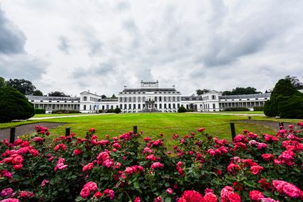
3744 AA Baarn -
The Lekpoort
The Lekpoort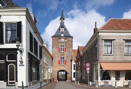
4132 AR Vianen -
Fortresses of the four Lunetten
Fortresses of the four Lunetten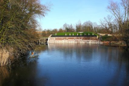
3524 SB Utrecht