odp
73 to 96 of 294 locations
-
TOP City harbour Wijk bij Duurstede
TOP City harbour Wijk bij Duurstede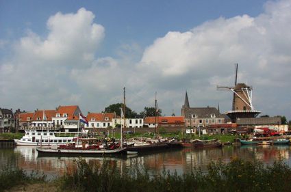
Havenweg
3961 AW Wijk bij Duurstede -
Fort Maarsseveen
Fort Maarsseveen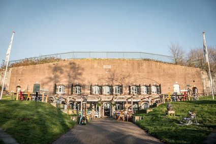
3602 AM Maarssen -
Fortress Nieuwersluis
Fortress Nieuwersluis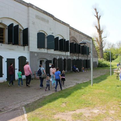
Rijksstraatweg 7B
3631 AA Nieuwersluis -
Diefdijk
Diefdijk
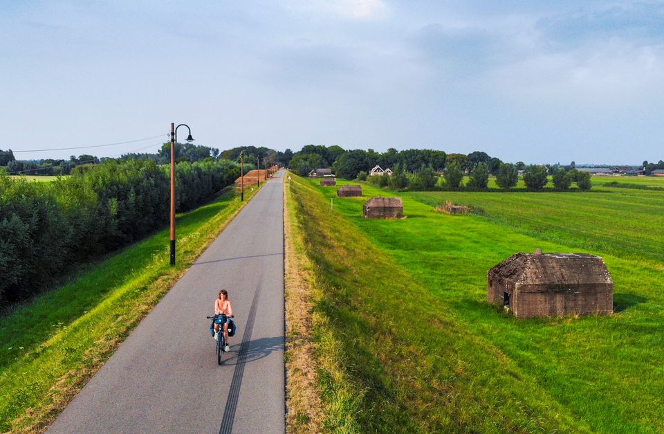
This centuries-old long dyke marks the border between the Betuwe to the east and the lowlands to the west. The purpose of the Diefdijk was to protect the lower-lying meadows whenever the higher Betuwe flooded. The dyke was reinforced in 2015 and still serves its purpose today. It was also part of the New Dutch Waterline: the area to the east of the dyke served as an inundation area. To this day, this area remains scarcely built up. Nature reserves of various sizes border the dyke on either side.

Diefdijk
4143 MG Leerdam -
-
Tabaksschuur Amerongen
Tabaksschuur Amerongen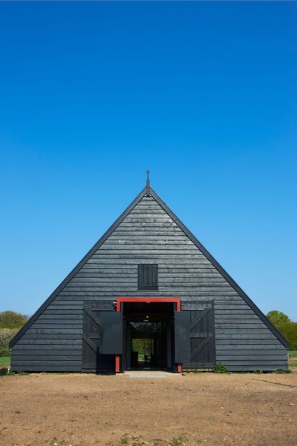
3958 ET Amerongen -
DOMunder
DOMunder
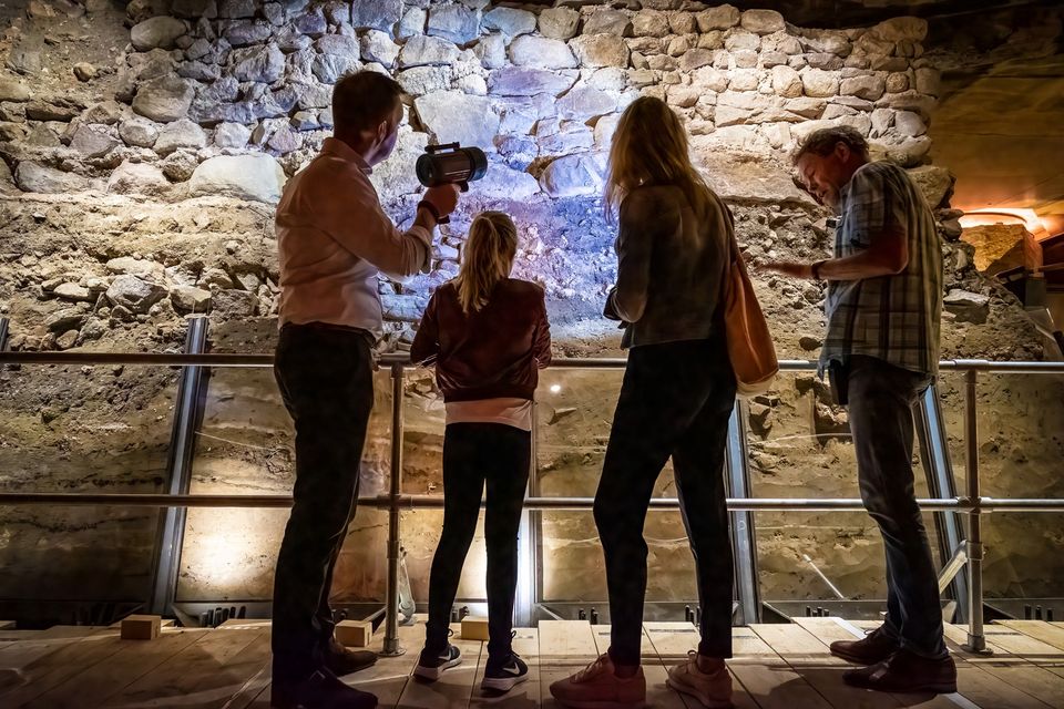
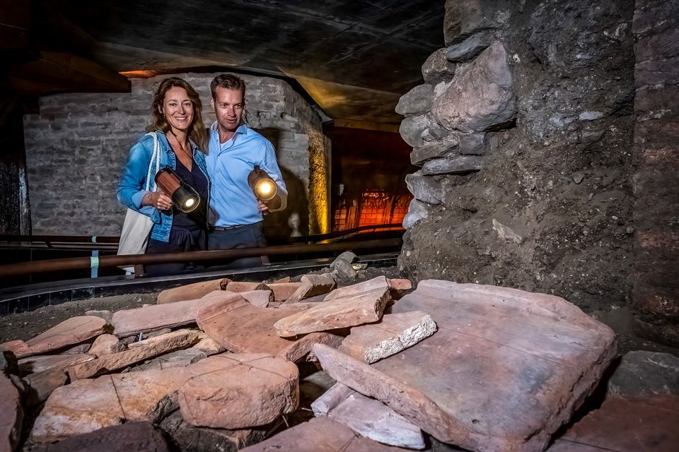
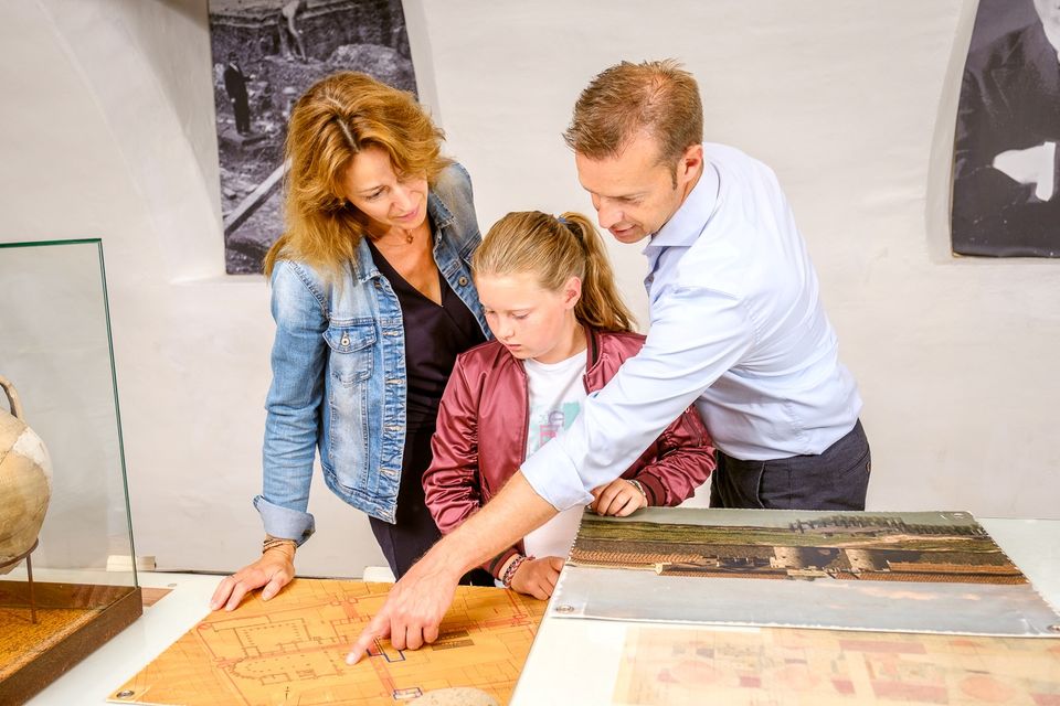
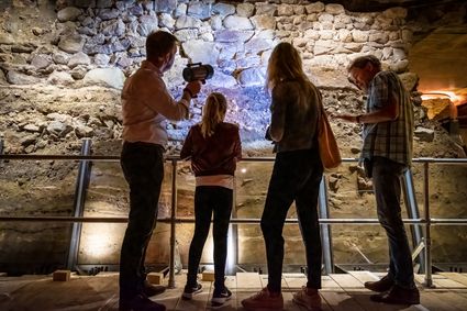
DOMunder uncovers the rich history of one of Utrecht's most significant locations: Domplein. Guided by an expert and equipped with your own smart flashlight, you will explore the place where the city of Utrecht was born. Go underground and discover archaeological remains and exciting stories.
3512 JC Utrecht -
-
TOP Linschoten
TOP Linschoten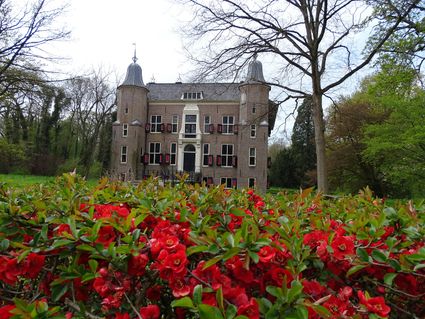
Noord Linschoterdijk 1 (tegenover nr. 1)
Linschoten -
Stayokay hostel Utrecht-Bunnik
Stayokay hostel Utrecht-Bunnik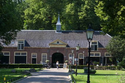
3981 HH Bunnik -
Geofort
Geofort
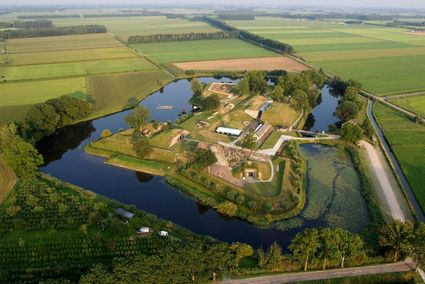
Explore the exciting old fort island at GeoFort. Plenty of experiments await both inside and outside: wander the dark subterranean tunnels, make your way through the maze or use the lift to descend 6,000 kilometres into the earth. Use the maps to find your way around the virtual Minecraft world or visit the virtual sandpit, where you can make a volcano erupt! Feel like having a break? Our pancake restaurant, De WereldPan, has an extensive food and drinks menu.
Geo
Nieuwe Steeg 74
4171 KG Herwijnen -
-
Gagelbos
Gagelbos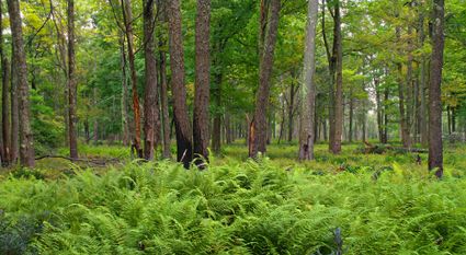
3566 MJ Utrecht -
Mouse Towers | Leerdam
Mouse Towers | Leerdam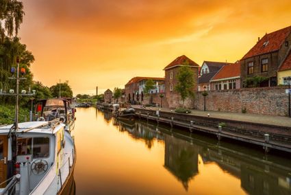
4141 BE Leerdam -
Brouwerij Maximus
Brouwerij Maximus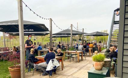
3454 NA Utrecht -
City park Griftpark
City park Griftpark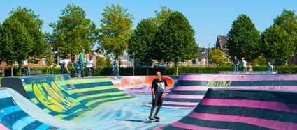
3572 KC Utrecht -
Rope museum
Rope museum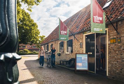
3421 SZ Oudewater -
Stoomgemaal Teijlingens Kamerik
Stoomgemaal Teijlingens Kamerik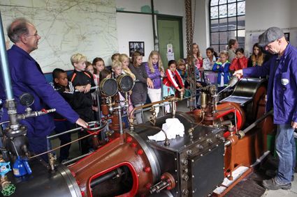
3471 GC Kamerik -
Veenendaal Museum
Veenendaal Museum
3901 TP Veenendaal -
Museum Bunker Leusden
Museum Bunker Leusden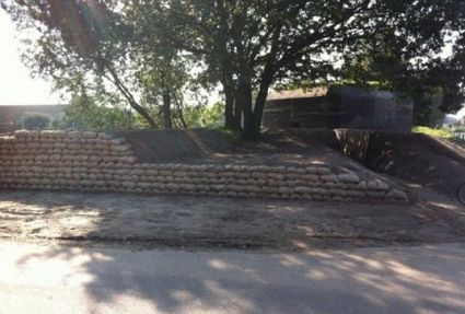
3831 RZ Leusden -
Amelisweerd - Rhijnauwen
Amelisweerd - Rhijnauwen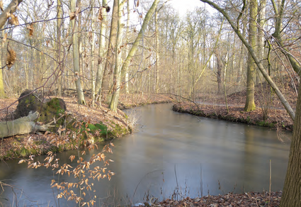
Koningslaan 9
3981 HD Bunnik -
TOP Bergse Bossen
TOP Bergse Bossen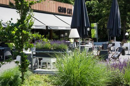
Traaij 299
3971 GM Driebergen -
Fort Vreeswijk
Fort Vreeswijk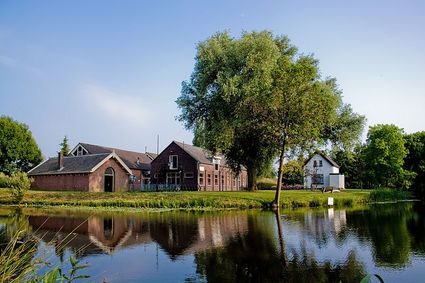
3433 ZZ Nieuwegein -
TOP Ameide
TOP Ameide
4233CL Ameide -
City Museum Woerden
City Museum Woerden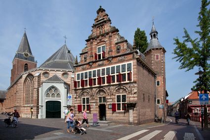
3441 BG Woerden -
Asschatterkeerkade
Asschatterkeerkade
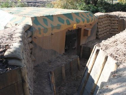
The Asschatterkade dates from 1745, and is one of the longest trenches of the Grebbelinie, with its length of 2500 metres. The trench from 1799 lies east of Leusden, at the edge of the flood plain. But there are also elements from more recent history which can be found.
The nine visible military bunkers, for example, were built during the mobilisation between 1939-1940. There is also a unique concrete tank barrier from this time. During the May Days of 1940, the Germans attempted in vain to break through the defences.
3831 JP Leusden -
-
TOP Het Gagelgat
TOP Het Gagelgat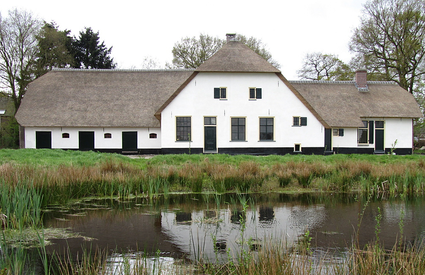
3768 HD Soest