odp
73 to 96 of 296 locations
-
Koppelpoort (gate)
Koppelpoort (gate)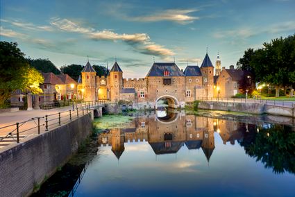
3811 MG Amersfoort -
Grebbeberg Military Cemetery
Grebbeberg Military Cemetery
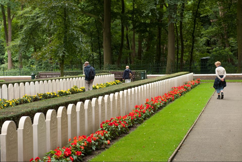
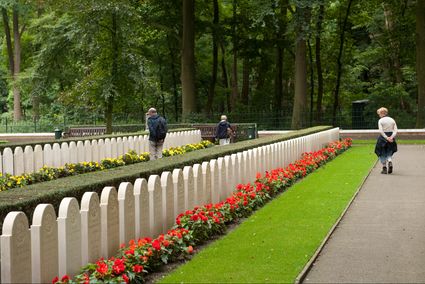
The largest battle of the Dutch army in WWII took place on Grebbeberg Hill. Here poorly armed and untrained men held their ground against a very powerful and ruthless opponent for three days. Grebbeberg Military Cemetery is the final resting place for more than 800 soldiers and 1 citizen who perished here in the Second World War. It is located on Grebbeberg Hill at Rhenen, and was a battlefield of just a few square kilometres, but is full of stories of the courage of desperation in the Netherlands.
The information centre, with an exhibition about the events on Grebbeberg Hill during “The Battle for Grebbeberg Hill” in May 1940, is open daily from 9:00 am to 5:00 pm.
3911 AV Rhenen -
-
Fort Uitermeer
Fort Uitermeer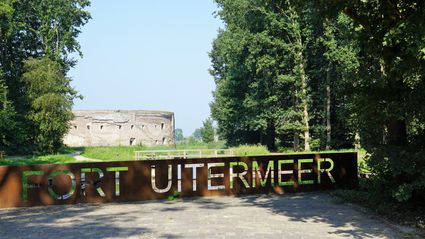
Uitermeer
1381 HP Weesp -
Utrecht Tourist Information 'Winkel van Utrecht'
Utrecht Tourist Information 'Winkel van Utrecht'
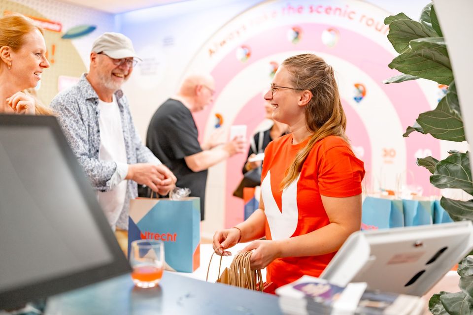
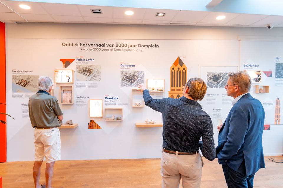
Located at the foot of the Dom Tower you will find the Utrecht Tourist Information Centre (VVV Utrecht). Make the most of your time in Utrecht by planning your trip with help from experts! Whether you’re searching for the best accommodation, exciting excursions in Utrecht or the region, the dedicated staff of VVV Utrecht can help you with a wonderful stay. They can also help you to book tickets, toursand information about public transport in and around Utrecht.
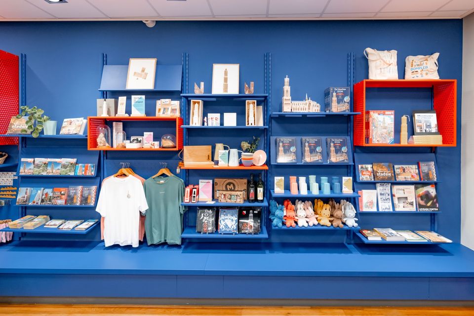
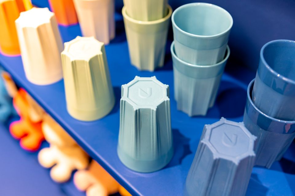
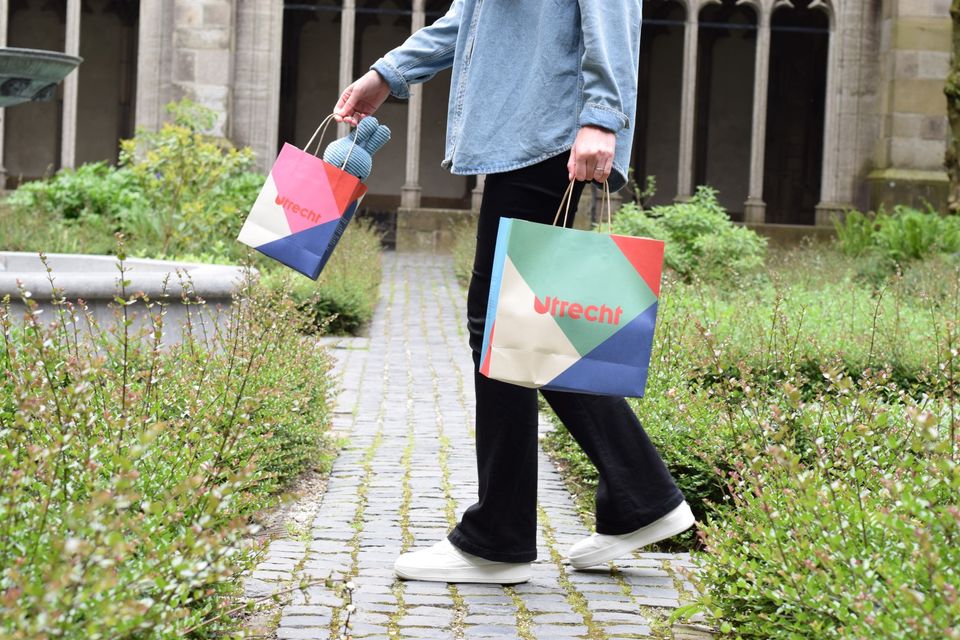
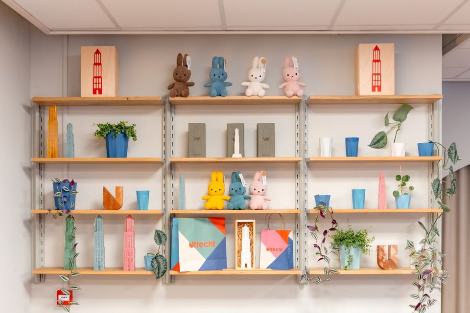
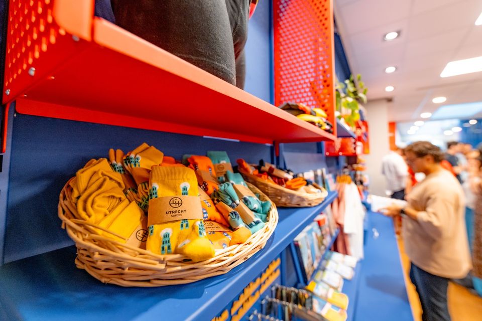
The Tourist Information Office is also the ultimate souvenir shop in Utrecht, with Holland souvenirs, typical Utrecht products and the largest selection of Miffy gifts in a special Miffy house available!
Go to the VVV Utrecht Information Centre for:
- Tourist information
- Dom Tower climbs
- Souvenirs
- Hotel bookings
- Gift vouchers
- Bicycle hire
- Walks and bicycle tours
- Guided tours
The information centre has free wireless Internet.
Public holidays:
Regular opening hours apply during public holidays, with the exception of Kings Day (27 April) during which the information centre will be closed.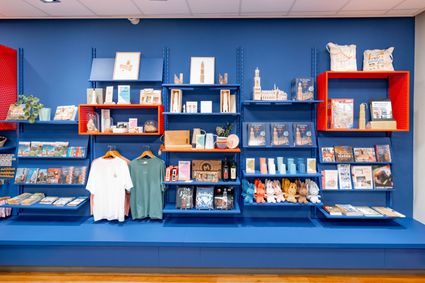
Domplein 9
3512JC Utrecht -
-
Castle Tower in IJsselstein
Castle Tower in IJsselstein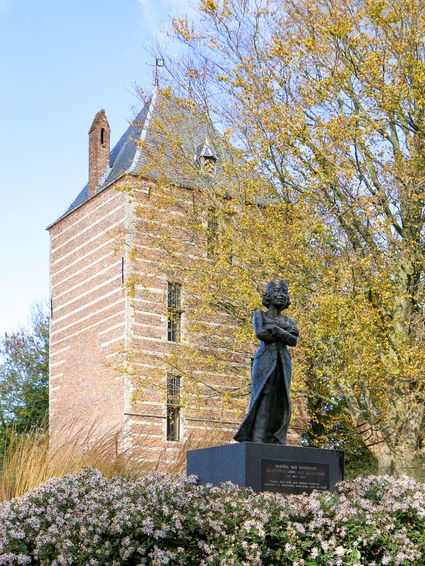
3401 BM IJsselstein -
Papal house
Papal house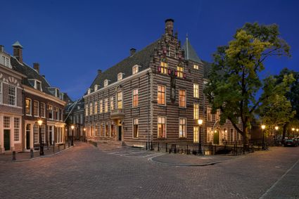
3512 HE Utrecht -
Grachten Galerie
Grachten Galerie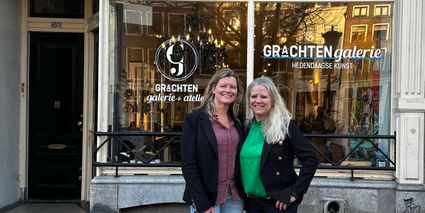
3511 NE Utrecht -
Castle Groeneveld
Castle Groeneveld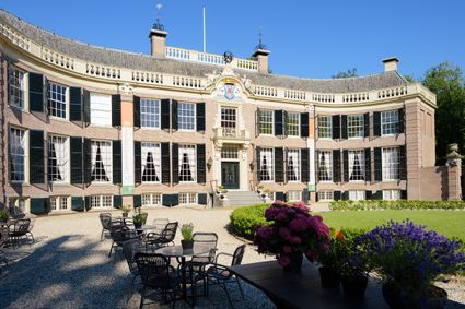
Groeneveld 2
3744 ML Baarn -
TOP Amerongen
TOP Amerongen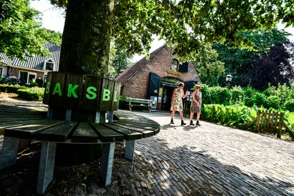
3958 ER Amerongen -
Geesberge country estate
Geesberge country estate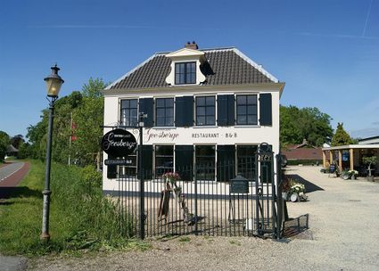
3601 NA Maarssen -
The Monnikendam
The Monnikendam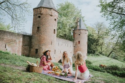
3811 HH Amersfoort -
Heidestein Estate
Heidestein Estate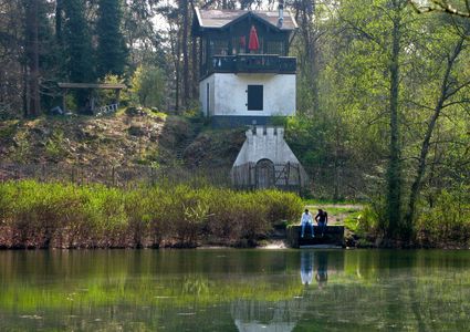
3708 WN Zeist -
Prattenburg Estate
Prattenburg Estate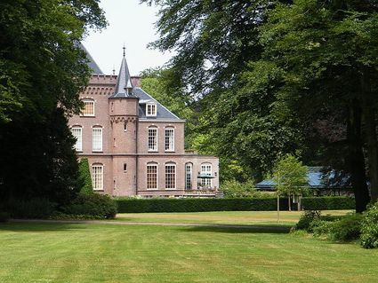
3911 RW Rhenen -
Restaurant Rederij De Eemlust
Restaurant Rederij De Eemlust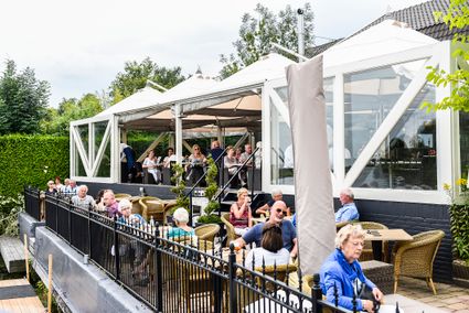
3741LC Baarn -
TOP Oud-Zuilen, Slot Zuylen
TOP Oud-Zuilen, Slot Zuylen
3611 AS Maarssen -
VVV agentschap Breukelen
VVV agentschap Breukelen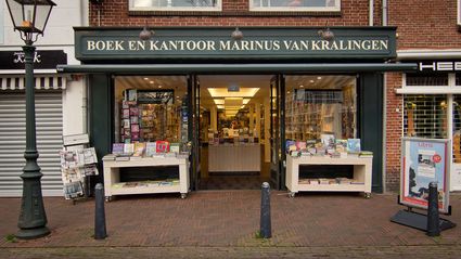
Herenstraat 4
3621 AR Breukelen -
Culture Factory
Culture Factory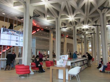
3901 TP Veenendaal -
Hotel 't Wapen van Harmelen
Hotel 't Wapen van Harmelen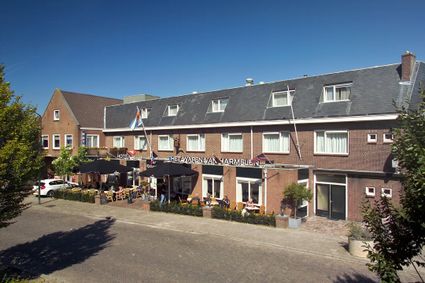
3481 EK Harmelen -
Beauforthuis
Beauforthuis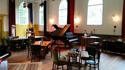
3711 AB Austerlitz -
TOP Museum Spakenburg
TOP Museum Spakenburg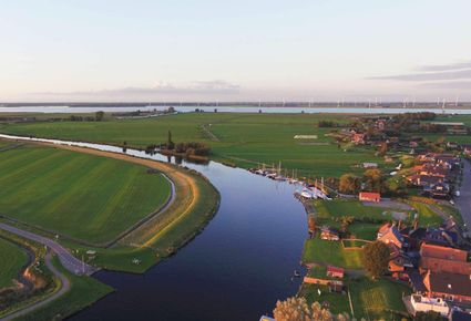
Spakenburg -
The Vuursche
The Vuursche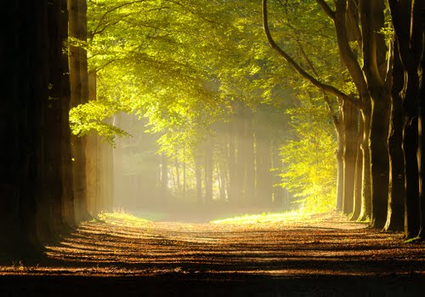
3749 Lage Vuursche -
Geertje’s Hoeve
Geertje’s Hoeve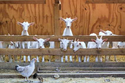
Thematerweg 5
3455 SM Utrecht -
Vianen Castle “Op de Bol”
Vianen Castle “Op de Bol”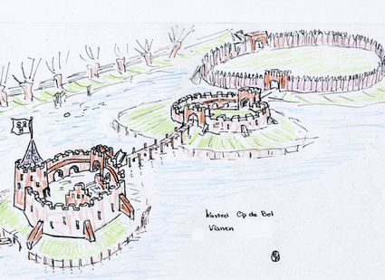
't wed 2
4132 CC Vianen -
Renswoude Castle
Renswoude Castle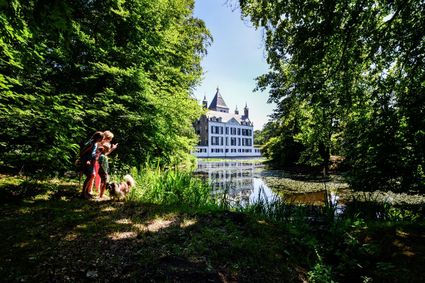
3927BA Renswoude