odp
121 to 144 of 301 locations
-
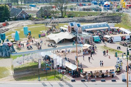
Blik & Burgers playground and restaurant
Blik & Burgers playground and restaurant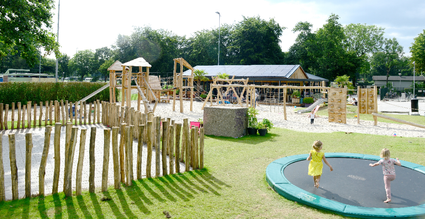
3703 DZ Zeist -
Fort Vreeswijk
Fort Vreeswijk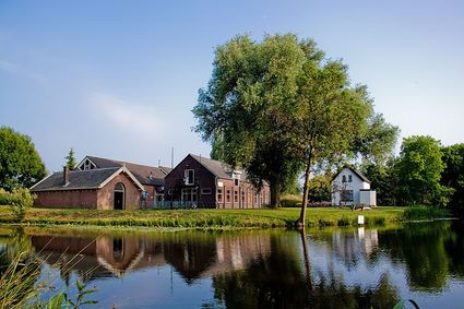
3433 ZZ Nieuwegein -
Ledig Erf
Ledig Erf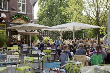
Tolsteegbrug 3
3511 ZN Utrecht -
Naarden Vesting
Naarden Vesting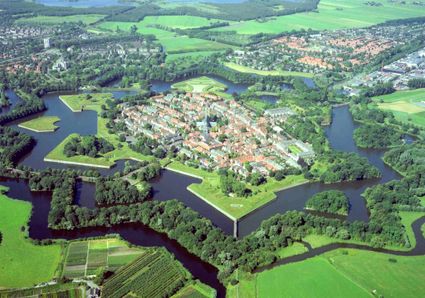
Ruijsdaelplein 10
1411 EA Naarden-Vesting -
Soestdijk Palace
Soestdijk Palace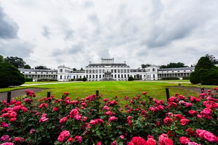
3744 AA Baarn -
TOP Nationaal Tree museum Gimborn
TOP Nationaal Tree museum Gimborn
3941 BZ Doorn -
Fort Tienhoven
Fort Tienhoven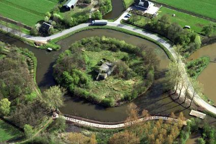
3612 NB Tienhoven -
Henschoter lake
Henschoter lake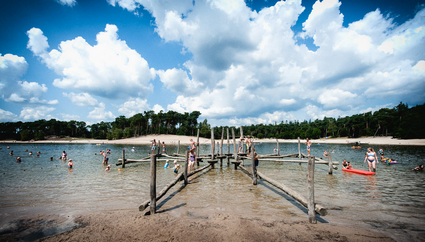
3931MK Woudenberg -
Leersumse Veld
Leersumse Veld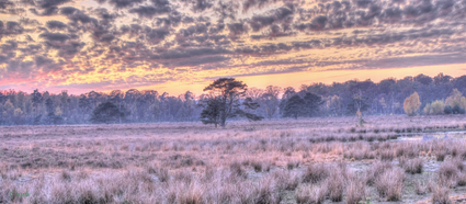
3956 KW LEERSUM -
Breukelen
Breukelen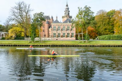
-
Eemlandhoeve
Eemlandhoeve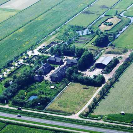
3752 LK Bunschoten-Spakenburg -
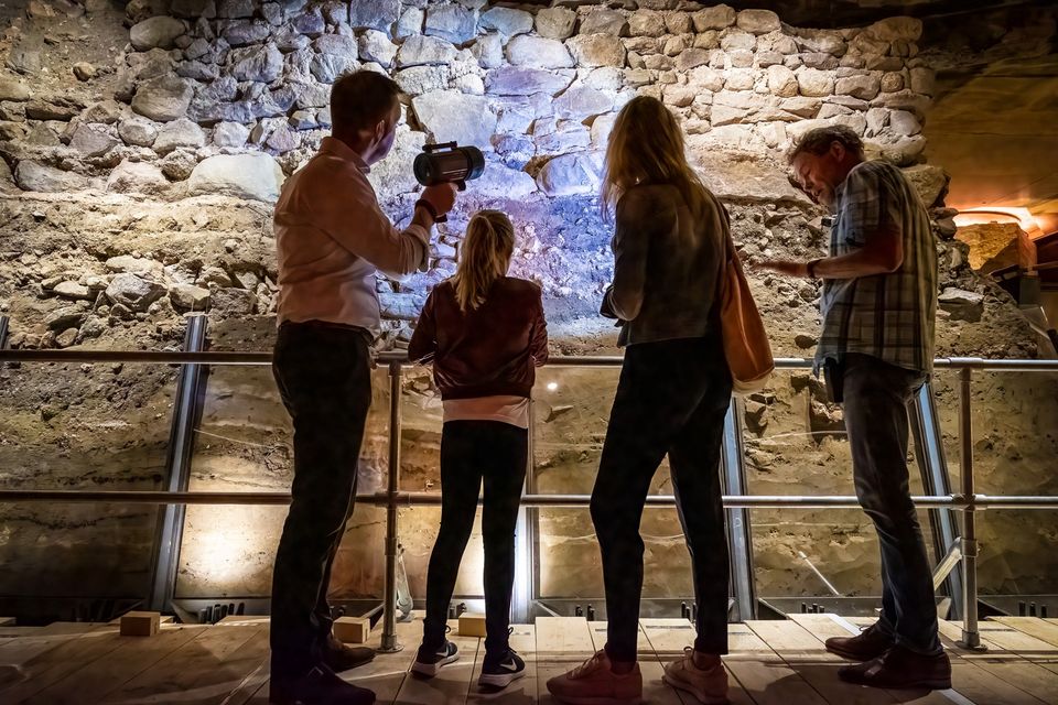
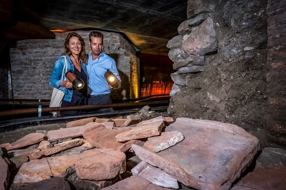
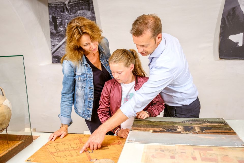
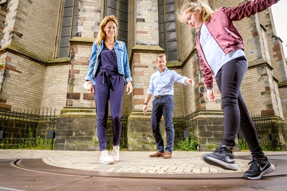
DOMunder
DOMunder
DOMunder uncovers the rich history of one of Utrecht's most significant locations: Domplein. Guided by an expert and equipped with your own smart flashlight, you will explore the place where the city of Utrecht was born. Go underground and discover archaeological remains and exciting stories.

3512 JC Utrecht -
-
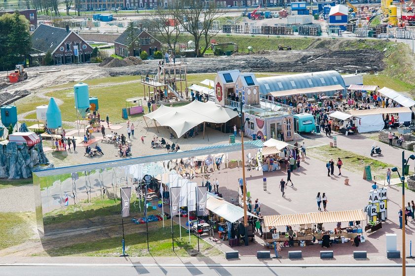
RAUM
RAUM
RAUM is an oasis in the new city, in the heart of Leidsche Rijn Center, where you can create, imagine and question the future of the city through art & design.
The city is a source of knowledge, skills, creativity and resources. In order to unlock that source, you must stimulate interaction between people and the environment. RAUM does this by stimulating through cultural experiment. And that provides new insights. Stories are made and told at RAUM. It is a place where art and design show the challenges of our city. A place that gives shape to the residents' solidarity with their city.
3541 CM Utrecht -
-
Zoo Amersfoort
Zoo Amersfoort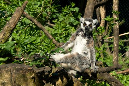
3819 AC Amersfoort -
Fort aan de Klop
Fort aan de Klop
3563 MC Utrecht -
Air Base Park Soesterberg
Air Base Park Soesterberg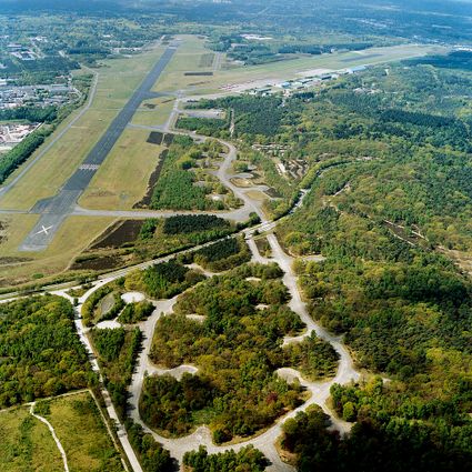
3768 MX Soest -
Highland West Coelhorst
Highland West Coelhorst
3828 PC Hoogland -
Amersfoort Zoo
Amersfoort Zoo
3819 AC Amersfoort -
Ivn excursie Kwintelooyen
Ivn excursie Kwintelooyen
3911 TA Rhenen -
Tobacco Cultivation Museum
Tobacco Cultivation Museum
Burg. Jhr. H. v.d. Boschstraat 46
3958 CD Amerongen -
City park Griftpark
City park Griftpark
3572 KC Utrecht -
Kerckebosch Castle****
Kerckebosch Castle****
3708 AA Zeist -
TOP Park Vliegbasis Soesterberg
TOP Park Vliegbasis Soesterberg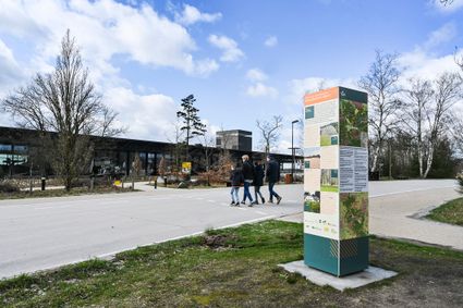
3768 MX Soest -
Brasserie Soesterduinen
Brasserie Soesterduinen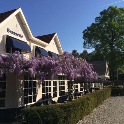
3768 MD Soest