odp
73 to 96 of 301 locations
-
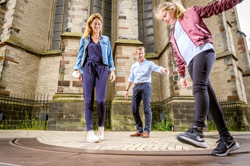
Fort Maarsseveen
Fort Maarsseveen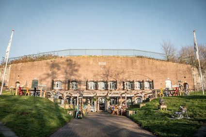
3602 AM Maarssen -
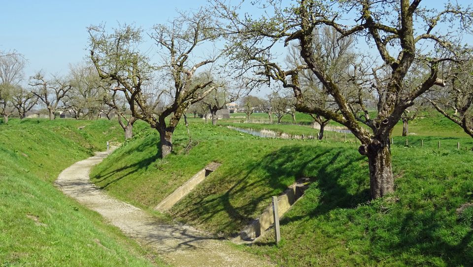
Fort Werk aan de Groeneweg
Fort Werk aan de Groeneweg
Walking through the historic trenches of Werk aan de Groeneweg is like a walk back in time. The defence structure still has its original configuration. The infantry set-up in World War One consisted of a double trench with earthen walls, 55 group shelters and lovely fruit trees.
The grounds are a fantastic playground for children. You can have a great time here roaming around, crawling through a trench, playing hide and seek and participating in an exciting search and experience walk of about 2 km, with soldier Vendrik as your guide.
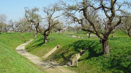
3998 Schalkwijk -
-
Recreatiepark De Lucht
Recreatiepark De Lucht
Barneveldsestraat 49
3927 CB Renswoude -
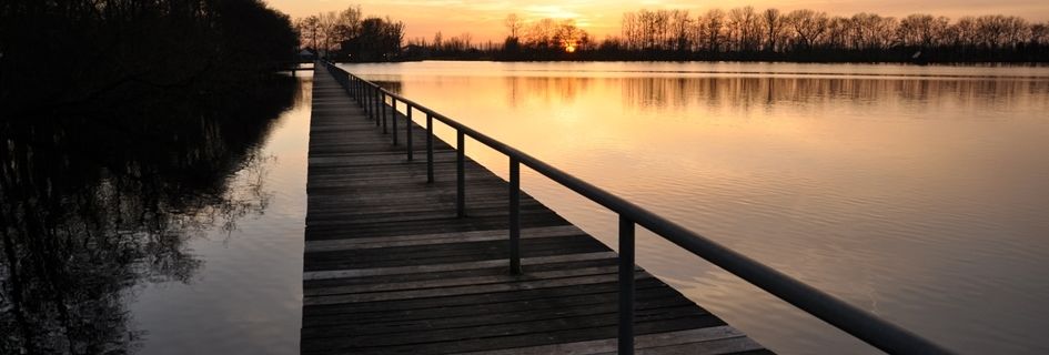
Bicycle Boat, stop Breukelen
Bicycle Boat, stop Breukelen
Herenstraat 41
3621AP Breukelen -
Cunera Hill
Cunera Hill
3911 AC Rhenen -
Muideslot
Muideslot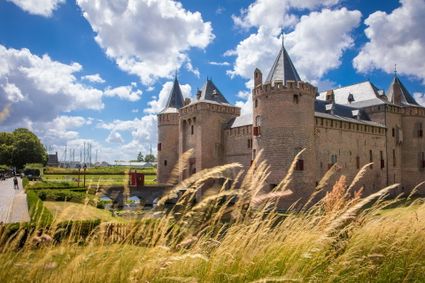
Herengracht 1
1398 AA Muiden -
De Vriendschap windmill
De Vriendschap windmill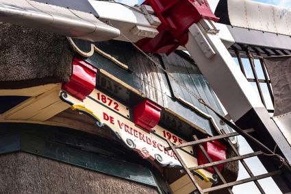
Nieuweweg 109
3905 LJ Veenendaal -
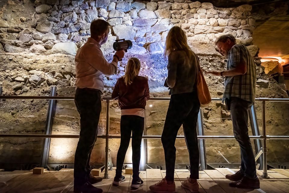
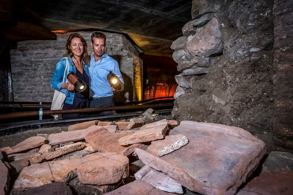
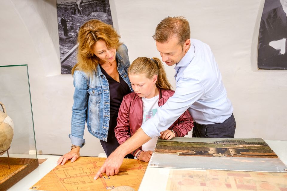
DOMunder
DOMunder
DOMunder uncovers the rich history of one of Utrecht's most significant locations: Domplein. Guided by an expert and equipped with your own smart flashlight, you will explore the place where the city of Utrecht was born. Go underground and discover archaeological remains and exciting stories.

3512 JC Utrecht -
-
Utrechtse Heuvelrug National Park
Utrechtse Heuvelrug National Park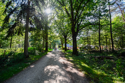
-
TOP Fort at the Buursteeg
TOP Fort at the Buursteeg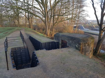
3927EJ Renswoude -
TOP Oortjespad
TOP Oortjespad
Oortjespad
3471HD Kamerik -
-
Museum Castle Amerongen
Museum Castle Amerongen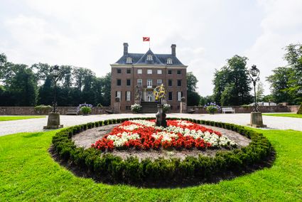
Drostestraat 20
3958 BK Amerongen -
Fort Hoofdijk
Fort Hoofdijk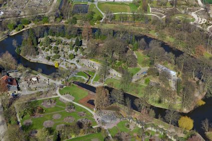
3584 HD Utrecht -
UIT in IJsselstein I Tourist Info
UIT in IJsselstein I Tourist Info
3401 BK IJsselstein -
Molen Rijn en Lek
Molen Rijn en Lek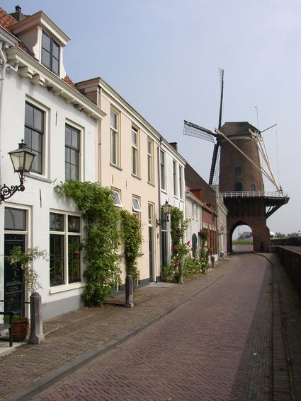
Dijkstraat 23
3961 AA Wijk bij Duurstede -
Pausdam
Pausdam
3512 HN Utrecht -
Proeverij de Azijnmakerij
Proeverij de Azijnmakerij
Zeist -
Centraal Museum
Centraal Museum
The Centraal Museum is your gateway to art and culture from the world of Utrecht. From Rietveld to the Utrecht Caravaggists, from Dick Bruna to Moesman and from Viktor & Rolf to the centuries-old Utrecht ship. A museum which leaves you inspired time after time. The museum has been housed in this medieval cloister on the Nicolaaskerkhof since 1921 and currently consists of an eclectic collection of buildings with a large courtyard at their centre. It’s a lovely place to wander through hallways and stairwells, and where you can be surprised by the various exhibitions.
Collection
The museum has the largest collection of Rietveld pieces in the world, and shows the work of the world-famous Dick Bruna. The collection of old art is also worthwhile with work from Jan van Scorel, Abraham Bloemaert and Hendrick ten Brugghen. Besides the work of those Dutch icons, the Centraal Museum provides a broad overview of 2.000 years turbulent history, is also the ‘present’ a central theme with current fashion, design and visual art are high on the agenda.Studio Dick Bruna
A special part of the Central Museum is the studio of Dick Bruna, one of the Netherlands’ most famous illustrators and graphic designers. For the last 30 years of his career, he worked at his studio in the centre of Utrecht daily. This was where he created his illustrations and stories, surrounded by personal memories, photos of memorable encounters, gifts from fans and letters from fellow artists.Online tickets
Skip the queue and order your tickets online. You will receive your ticket by email and showing it on your smartphone at the entrance of the museum is sufficient.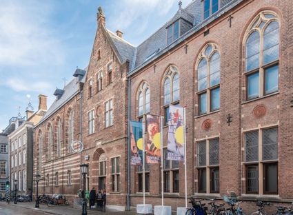
Agnietenstraat 1
3512 XA Utrecht -
-
Sterkenburg Castle
Sterkenburg Castle
3972 ND Driebergen-Rijsenburg -
TOP Linschoten
TOP Linschoten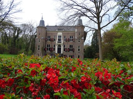
Noord Linschoterdijk 1 (tegenover nr. 1)
Linschoten -
TOP Groot Zandbrink
TOP Groot Zandbrink
3831 SE Leusden -
Veenendaal Museum
Veenendaal Museum
3901 TP Veenendaal -
Hotel Landgoed Zonheuvel****
Hotel Landgoed Zonheuvel****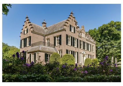
3941 EP Doorn -
Fort on the Ossenmarkt
Fort on the Ossenmarkt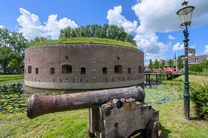
Ossenmarkt 44
1381 LX Weesp