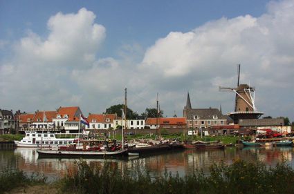
Past locks and forts
Come and be amazed by forts, trenches, dikes, locks, canals, casemates and group shelters. Together, these elements formed an ingenious system that once protected the Netherlands from enemy troops. By flooding the land to a depth of around 50 centimetres, an area could be rendered impassable for troops while also being too shallow for boats. Hop on a bike and explore this typically Dutch system of defences from the 19th and 20th century!
Locations on this route
Start point:
TOP Stadshaven Wijk bij DuurstedeHavenweg 1
3961 MA Wijk bij Duurstede
Navigate to starting point

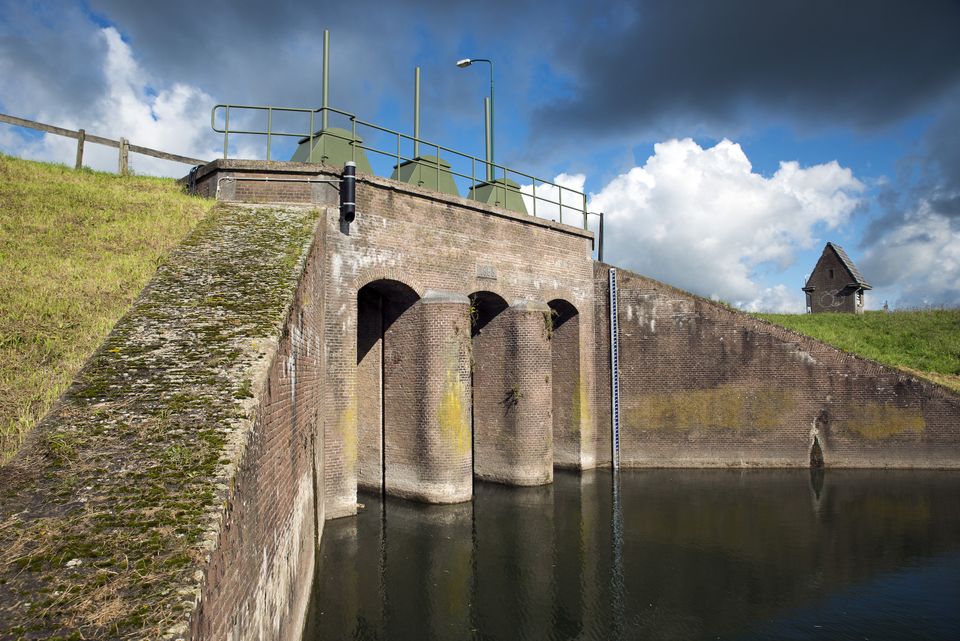
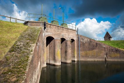
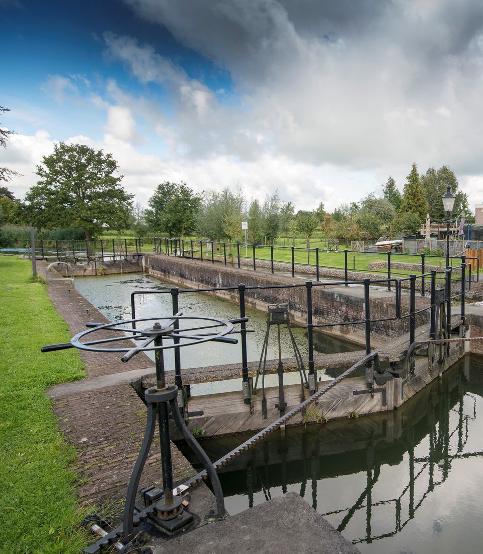
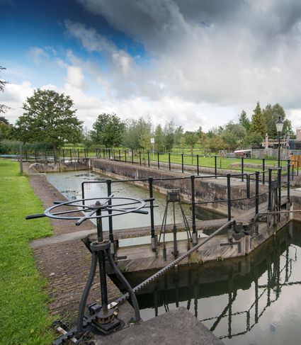
Inundation lock at Wijk bij Duurstede
In 1870, the Kromme Rijn was given a key role in the New Dutch Waterline. Back then, it took almost a month to flood the area around Utrecht. This had to be speeded up. To this end, the river wa...

Inundation lock at Wijk bij Duurstede
In 1870, the Kromme Rijn was given a key role in the New Dutch Waterline. Back then, it took almost a month to flood the area around Utrecht. This had to be speeded up. To this end, the river was widened, its bends were straightened and locks and dams were built. Near Wijk bij Duurstede, a large inundation lock was built that made Wijk bij Duurstede the ‘tap’ with which to turn on the New Dutch Waterline. This reduced the time needed to flood the inundation areas to between 4 and 12 days. The inlet is still used daily to transport fresh water to the city of Utrecht and the river Vecht.

Kersenmuseum (cherry museum)
Cherry growing plays an important role in the heart of the Kromme Rijn region, and it is here you will find the Kersenmuseum (cherry museum) at Theo and Martine Vernooy's fruit farm.
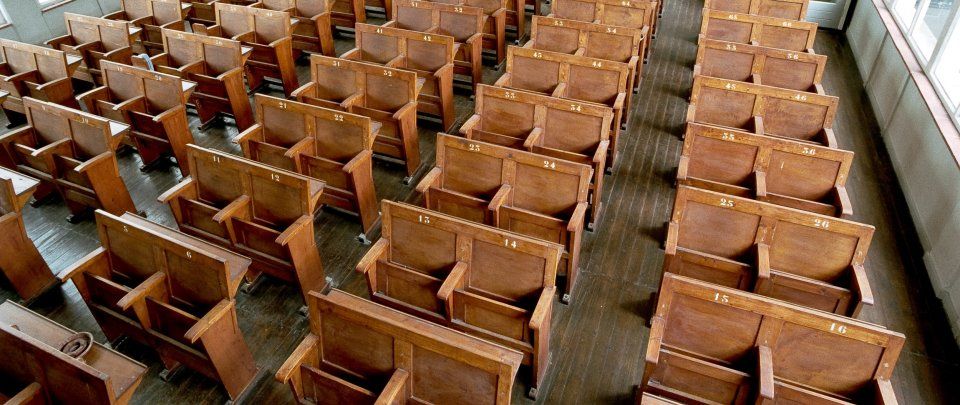
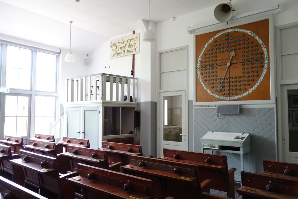
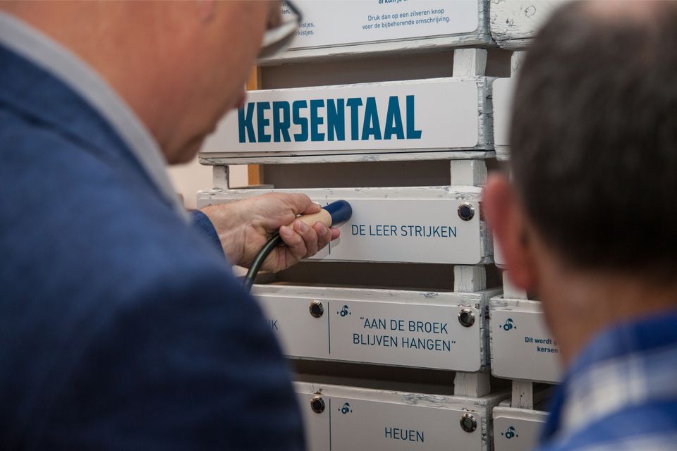

Kersenmuseum (cherry museum)
Cherry growing plays an important role in the heart of the Kromme Rijn region, and it is here you will find the Kersenmuseum (cherry museum) at Theo and Martine Vernooy's fruit farm.
Visitors to this interactive museum will learn about the rich history of cherry growing, with attention to aspects such as tradition, pride, culture, great stories, nostalgia and unity. Although we are talking about a centuries-old tradition, cherry growing is very much evolving as age-old expertise is combined with modern-day technology.
Lock at Cothen
The water board uses the dam in the Kromme Rijn in Cothen to regulate the flow of water to and from Utrecht. The monumental lock alongside it (from 1865) was used during wartime to move ships pa...
Lock at Cothen
The water board uses the dam in the Kromme Rijn in Cothen to regulate the flow of water to and from Utrecht. The monumental lock alongside it (from 1865) was used during wartime to move ships past the dam. When the Waterline needed to be flooded, the commander of the inundation station at Wijk bij Duurstede first gave the order to raise the water level in the Kromme Rijn by closing off the lock with stop logs. Next, he ordered the stop logs to be removed so that a large body of water could flow from the open lock to Utrecht.

End point:
TOP Stadshaven Wijk bij DuurstedeHavenweg 1
3961 MA Wijk bij Duurstede
Navigate to endpoint
Directions
Start point:
TOP Stadshaven Wijk bij DuurstedeHavenweg 1
3961 MA Wijk bij Duurstede
Navigate to starting point
The route starts at one of the Tourist Transfer Points (Toeristische Overstappunten, or TOPs): The city harbour at Wijk bij Duurstede. From there, follow the junctions: 15 - 14 - 13 - 56 - 57 - 60 - 76 - 59 - 09 - 13 - 14 - 15.
End point:
TOP Stadshaven Wijk bij DuurstedeHavenweg 1
3961 MA Wijk bij Duurstede
Navigate to endpoint
- 15
- 14
- 13
- 50
- 56
- 30
- 57
- 60
- 76
- 59
- 23
- 25
- 61
- 9
- 27
- 95
- 13
- 14
- 15
Attributes