odp
265 to 288 of 298 locations
-
Centraal Museum
Centraal Museum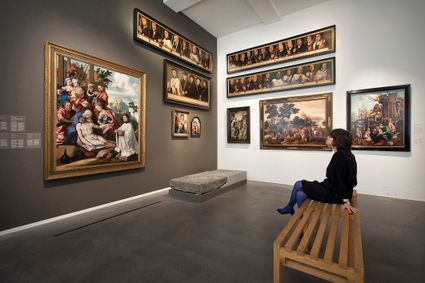
3512 XA Utrecht -
TOP Park Vliegbasis Soesterberg
TOP Park Vliegbasis Soesterberg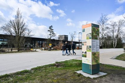
3768 MX Soest -
Noorderpark Ruigenhoek
Noorderpark Ruigenhoek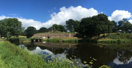
Einthovendreef-Noord
3566 ME Utrecht -
Tobacco Cultivation Museum
Tobacco Cultivation Museum
3958 CD Amerongen -
Papal house
Papal house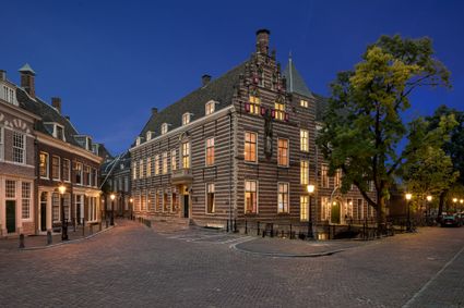
3512 HE Utrecht -
Fort Uithoorn
Fort Uithoorn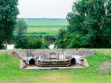
1427 AV Amstelhoek -
TOP Linschoten
TOP Linschoten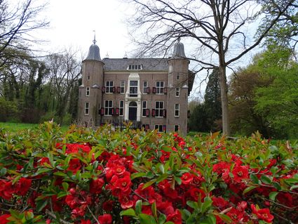
Noord Linschoterdijk 1 (tegenover nr. 1)
Linschoten -
Treek-Henschoten Estate
Treek-Henschoten Estate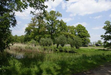
3832 RS Leusden -
Restaurant De Dennen
Restaurant De Dennen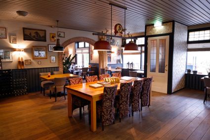
3927 AW Renswoude -
Huis Doorn
Huis Doorn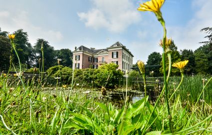
3941 MT Doorn -
Museum Heksenwaag
Museum Heksenwaag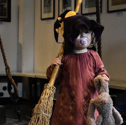
3421 AC OUDEWATER -
Muurhuizen (Wallhouses)
Muurhuizen (Wallhouses)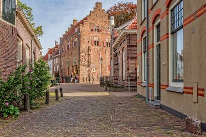
3811 Amersfoort -
Country Estate Bergse Bossen***
Country Estate Bergse Bossen***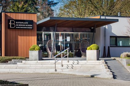
3971 GM Driebergen-Rijsenburg -
Recreatieboerderij De Kleine Weide
Recreatieboerderij De Kleine Weide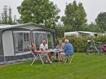
3927 CV Renswoude -
Soesterberg Park Air Base
Soesterberg Park Air Base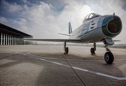
3768 MX Soest -
Camping De Grebbelinie
Camping De Grebbelinie
3927 CJ Renswoude -
Groene Entree Hoogstraat
Groene Entree Hoogstraat
3941 MN DOORN -
Grebbe line
Grebbe line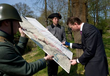
3927 EJ Renswoude -
Mill "Den Olden Florus"
Mill "Den Olden Florus"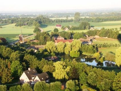
3784 VE Terschuur -
Veenendaal Town Beach
Veenendaal Town Beach
3901 Veenendaal -
De Kastanjeboom
De Kastanjeboom
3751 LC Bunschoten -
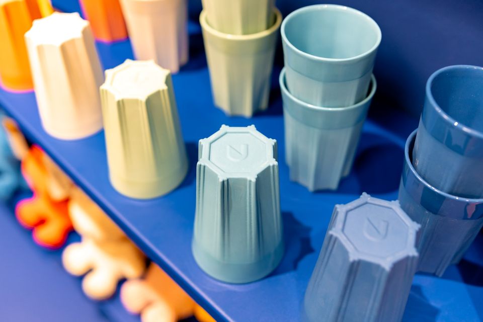
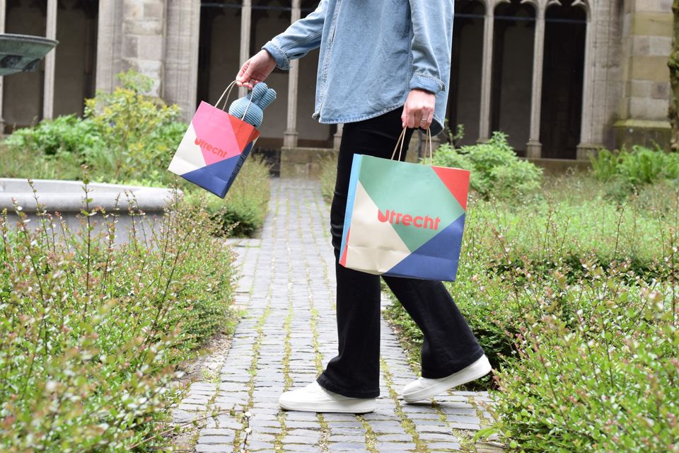
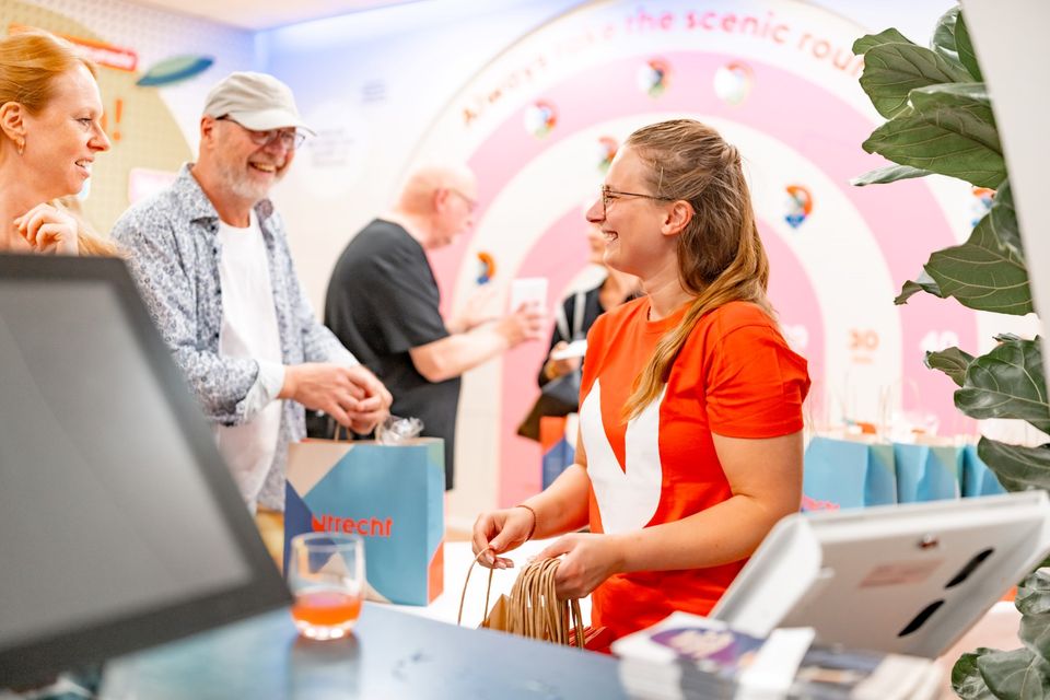
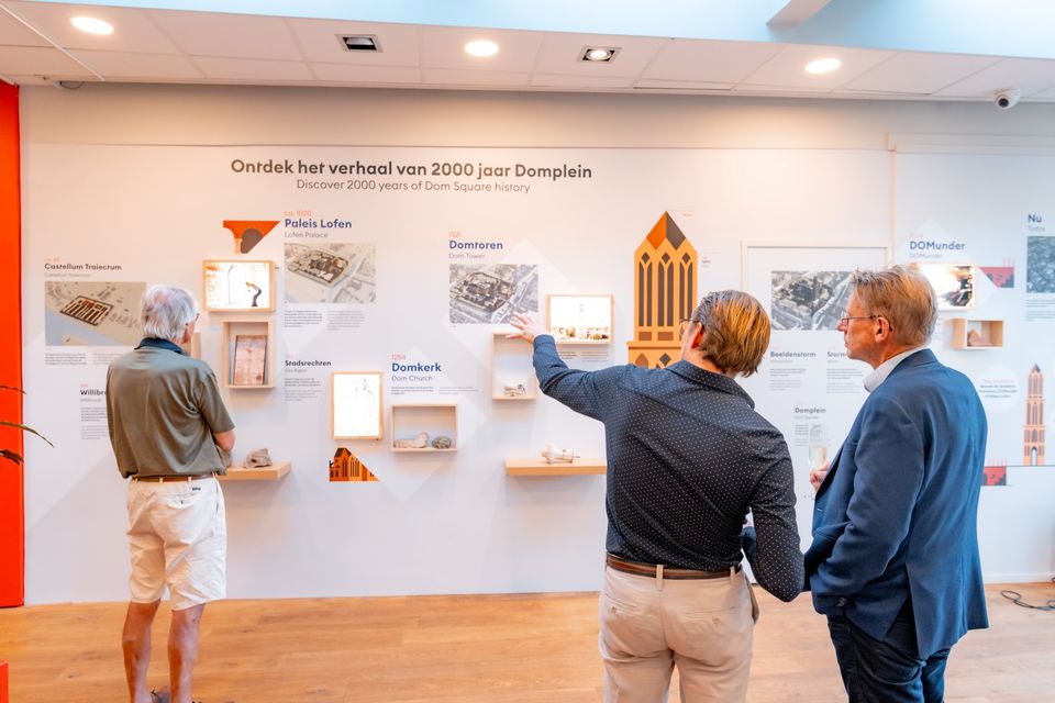
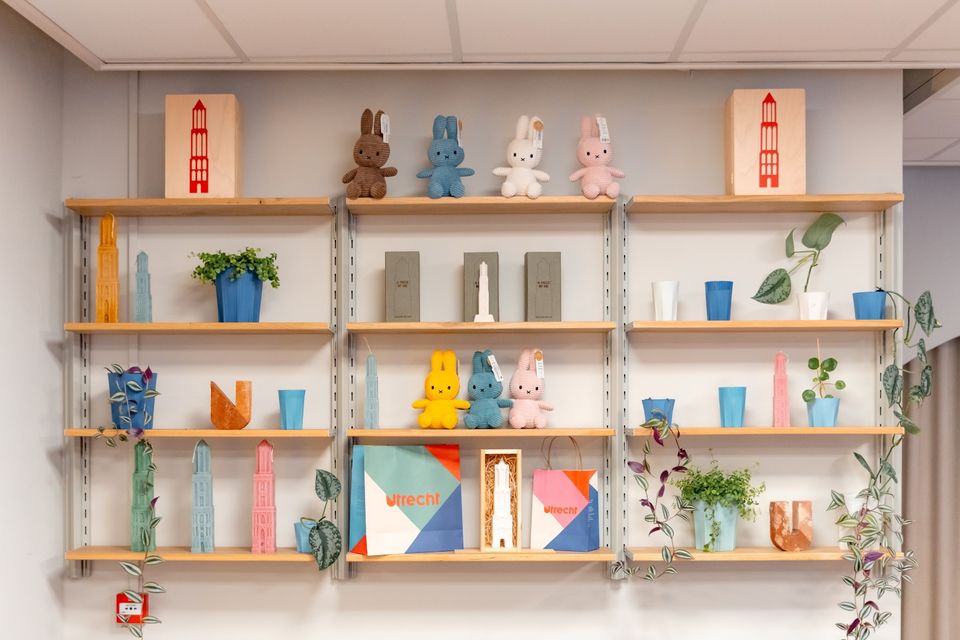
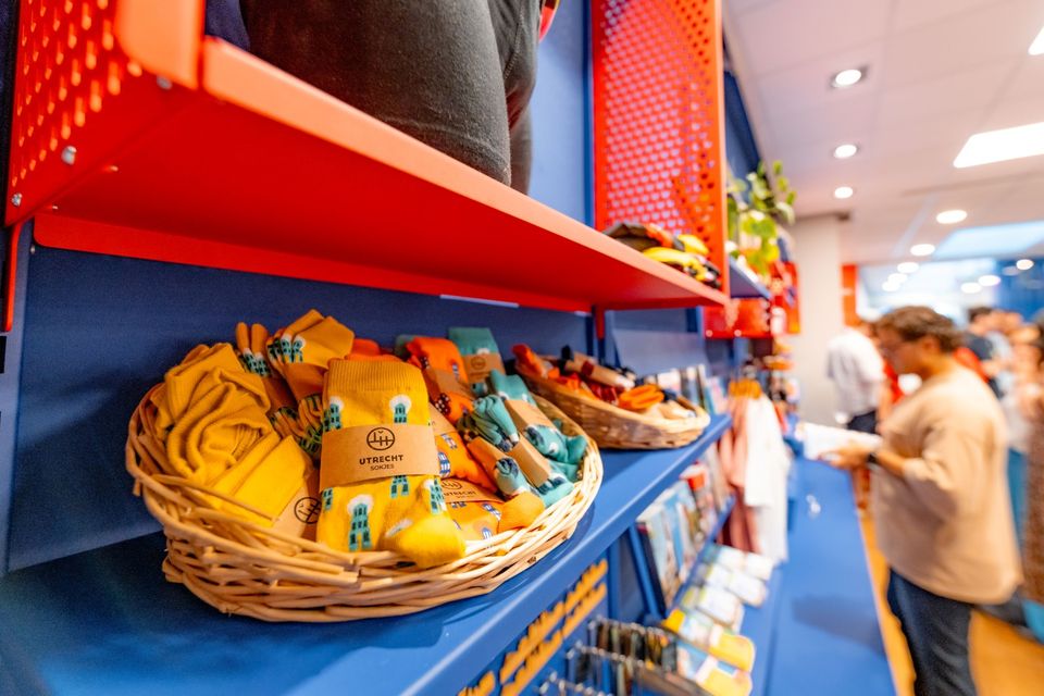
Utrecht Tourist Information 'Winkel van Utrecht'
Utrecht Tourist Information 'Winkel van Utrecht'
Located at the foot of the Dom Tower you will find the Utrecht Tourist Information Centre (VVV Utrecht). Make the most of your time in Utrecht by planning your trip with help from experts! Whether you’re searching for the best accommodation, exciting excursions in Utrecht or the region, the dedicated staff of VVV Utrecht can help you with a wonderful stay. They can also help you to book tickets, toursand information about public transport in and around Utrecht.
The Tourist Information Office is also the ultimate souvenir shop in Utrecht, with Holland souvenirs, typical Utrecht products and the largest selection of Miffy gifts in a special Miffy house available!
Go to the VVV Utrecht Information Centre for:
- Tourist information
- Dom Tower climbs
- Souvenirs
- Hotel bookings
- Gift vouchers
- Bicycle hire
- Walks and bicycle tours
- Guided tours
The information centre has free wireless Internet.
Public holidays:
Regular opening hours apply during public holidays, with the exception of Kings Day (27 April) during which the information centre will be closed.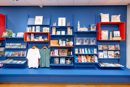
Domplein 9
3512JC Utrecht -
-
Blokhoven inundation area
Blokhoven inundation area
The Blokhoven polder flood plain is situated behind the Achterdijk in Schalkwijk. During heavy rainfall, it can collect up to 23,000 m3 of water to prevent Schalkwijk from being flooded. This volume is equivalent to around 10 Olympic swimming pools. The area is at the heart of the New Dutch Waterline. In the summer, the plain is flooded twice a month to illustrate the inundation principle for visitors. If heavy or prolonged rainfall is forecast, the water board may decide to forego the inundation, as the plain will be needed to collect excess water.
3998 NE Schalkwijk -
-
Parc Broekhuizen
Parc Broekhuizen
3956 NS Leersum