odp
97 to 120 of 301 locations
-
Dutch Water Defence Lines
Dutch Water Defence Lines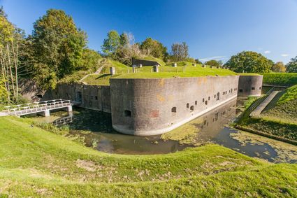
De Hollandse Waterlinies
Utrecht -
Peking Garden
Peking Garden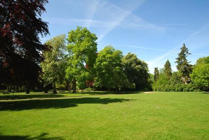
-
TOP Beauforthuis
TOP Beauforthuis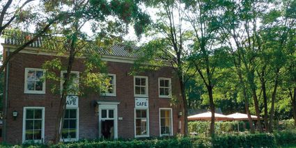
3711 AB Austerlitz -
B&B Kasteel Sterkenburg
B&B Kasteel Sterkenburg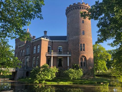
3972 ND Driebergen-Rijsenburg -
Museum Castle Amerongen
Museum Castle Amerongen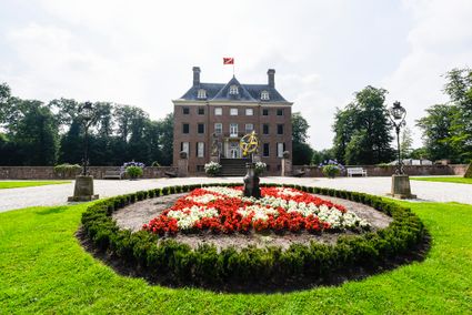
Drostestraat 20
3958 BK Amerongen -
Castle Groeneveld
Castle Groeneveld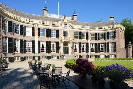
Groeneveld 2
3744 ML Baarn -
De Wildenburg pancake farm
De Wildenburg pancake farm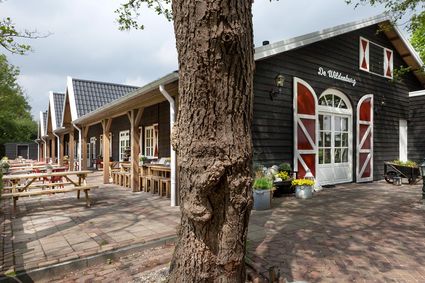
3744 MK Baarn -
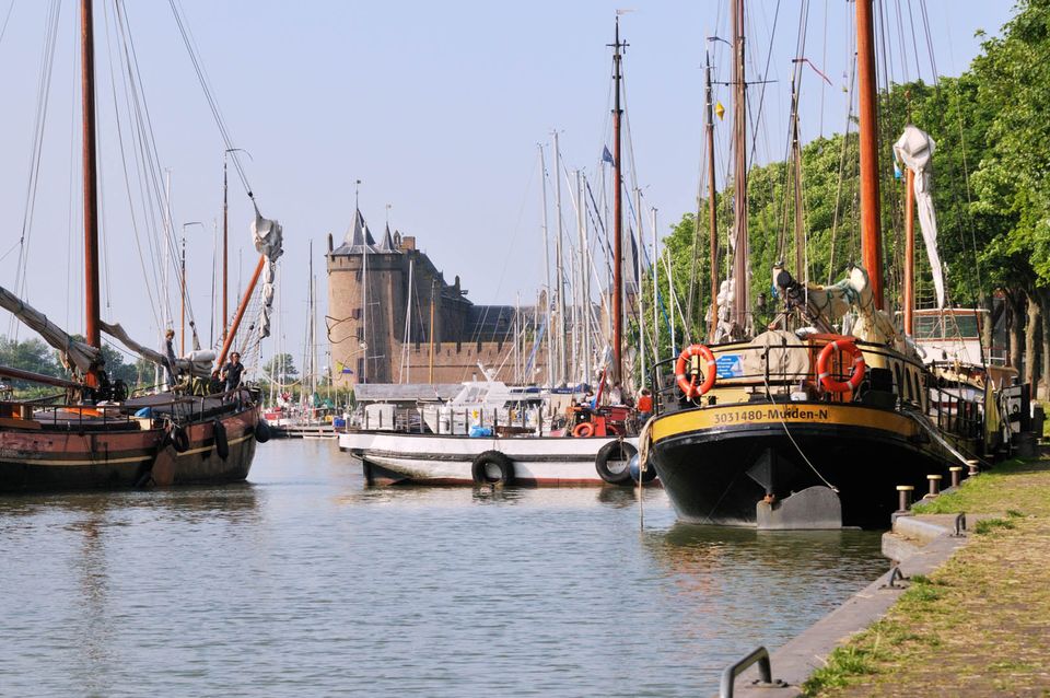
Muiden
Muiden
The best way to experience the convivial fortified city of Muiden is to take a stroll by the harbour with its many traditional sailing boats or to settle down at an outdoor café with a view of the Groote Zeesluis. Alternatively, you can explore the fort island of Pampus or visit the centuries-old Amsterdam Castle Muiderslot. Along with Naarden and Weesp, the fortified city of Muiden played an important role. Muiden closed off the Zeedijk dyke and protected the sea and inundation locks of the Vecht. Fort C, also popularly known as ‘the Muizenfort’, has a small museum about the New Dutch Waterline and the Defence Line of Amsterdam.

Herengracht
1398 AA Muiden -
-
TOP citypark Oudegein
TOP citypark Oudegein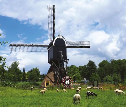
3432 NE Nieuwegein -
Naarden Vesting
Naarden Vesting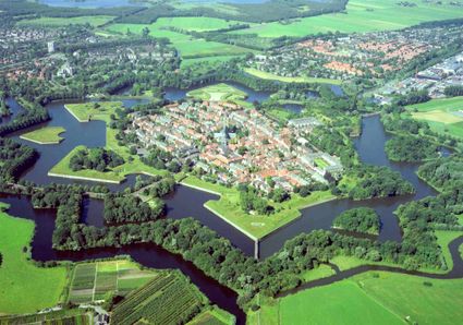
Ruijsdaelplein 10
1411 EA Naarden-Vesting -
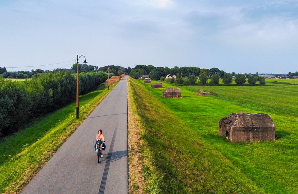
Fort at 't Hemeltje
Fort at 't Hemeltje
Fort 't Hemeltje dates from 1877-1881 and is the last built fort of the New Dutch Waterline. It defended a strip of land that could not be flooded and the 's-Hertogenbosch-Utrecht railway line. Nowadays, Fort bij 't Hemeltje is largely used as office space for various entrepreneurs who are active in the field of sustainability. The fort also offers shelter to (breeding) birds and bats.
There is a walking route around the fort and there is an exciting spy route with fun assignments for children. In addition, the fort is regularly open to the public, for example during Open Heritage Days.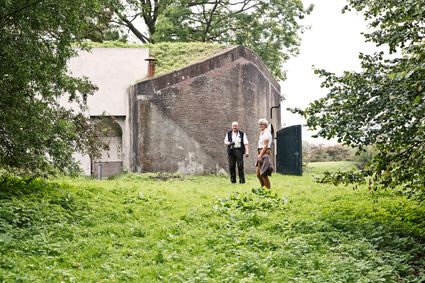
3992 LX Houten -
-
Fortress Nieuwersluis
Fortress Nieuwersluis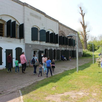
Rijksstraatweg 7B
3631 AA Nieuwersluis -
Wilhelmina city park
Wilhelmina city park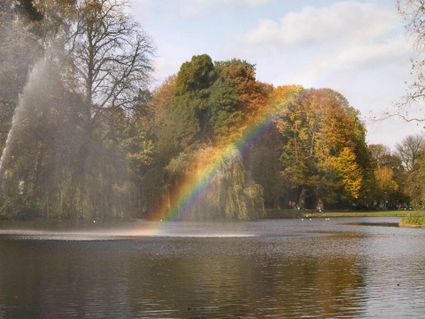
3581 NP Utrecht -
Beauforthuis
Beauforthuis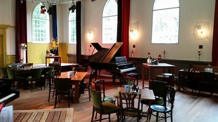
3711 AB Austerlitz -
Molen de Windhond
Molen de Windhond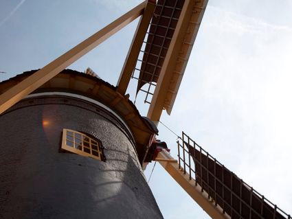
3447 GR Woerden -
Fort Ruigenhoek
Fort Ruigenhoek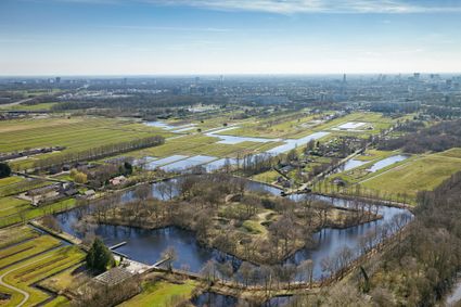
3737 MR Groenekan -
Statues in the Máximapark
Statues in the Máximapark
Utrecht -
Culture Factory
Culture Factory
3901 TP Veenendaal -
Bike boat Loosdrecht
Bike boat Loosdrecht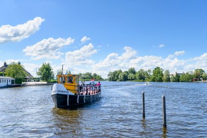
Oud-Loosdrechtsedijk
1231 LW Loosdrecht -
Fort Honswijk
Fort Honswijk
Fort Honswijk, situated on the Lek River, is one of the most prominent forts of the New Dutch Waterline. Fort Honswijk's tower (built between 1841 and 1848) is the oldest and largest in the Waterlinie and possesses singular architectural beauty. Fort Honswijk was designed to stop the enemy from crossing the Lekdijk dike and to close off the Lek River in cooperation with Fort Everdingen on the opposite banks of the Lek.
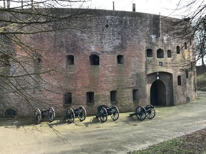
3998 NJ Schalkwijk -
-
Teahouse Mon-Chouette
Teahouse Mon-Chouette
3831 JZ Leusden -
De Vriendschap windmill
De Vriendschap windmill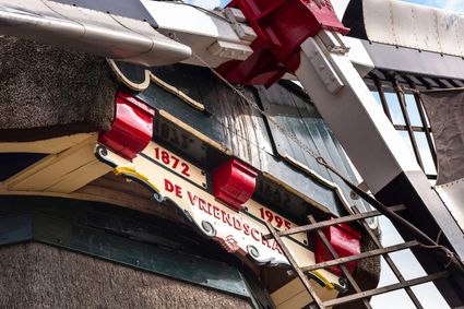
Nieuweweg 109
3905 LJ Veenendaal -
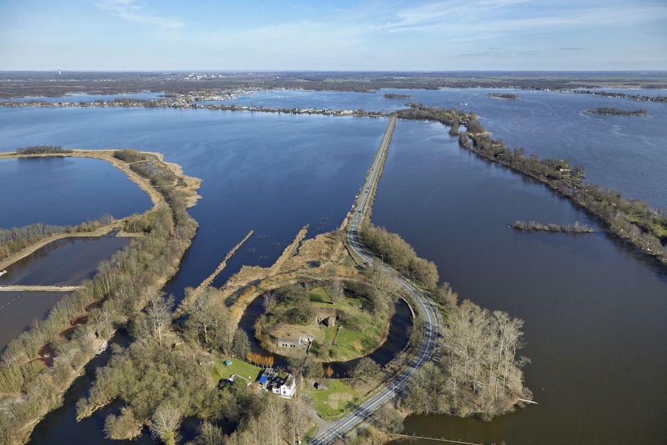
Diefdijk
Diefdijk
This centuries-old long dyke marks the border between the Betuwe to the east and the lowlands to the west. The purpose of the Diefdijk was to protect the lower-lying meadows whenever the higher Betuwe flooded. The dyke was reinforced in 2015 and still serves its purpose today. It was also part of the New Dutch Waterline: the area to the east of the dyke served as an inundation area. To this day, this area remains scarcely built up. Nature reserves of various sizes border the dyke on either side.

Diefdijk
4143 MG Leerdam -
-
Bicycle Boat, Maarssen
Bicycle Boat, Maarssen
Zandweg 44 (tegenover nr. 44)
3601AE Maarssen