odp
97 to 120 of 301 locations
-
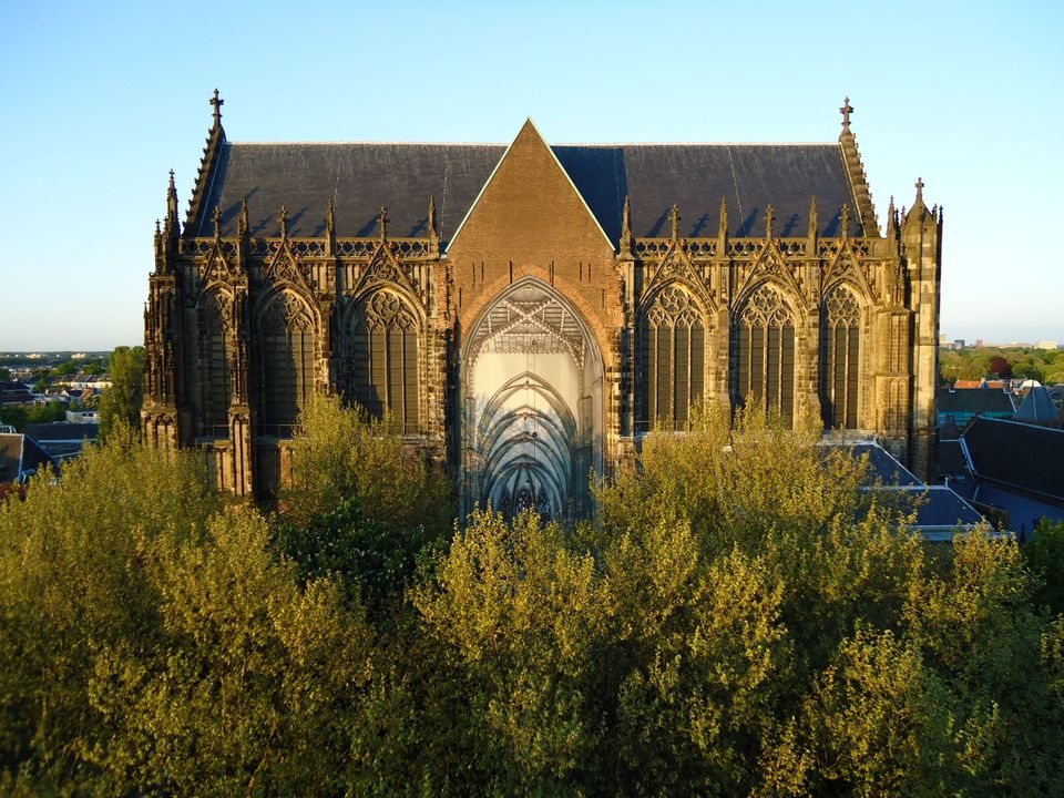
Dom Church
Dom Church
The gothic Dom Church was built as a cathedral for the bishop of Utrecht and dedicated to St. Maarten.
The interior with many lavishly decorated tombs is impressive. The Dom church draws many people daily for a guided tour or a moment of silence and peace. The free Saturday afternoon concerts (3.30 pm) have been a household word in Utrecht for over thirty years.

Domplein 0
3512 JD Utrecht -
-
Fort Everdingen aan de Lek
Fort Everdingen aan de Lek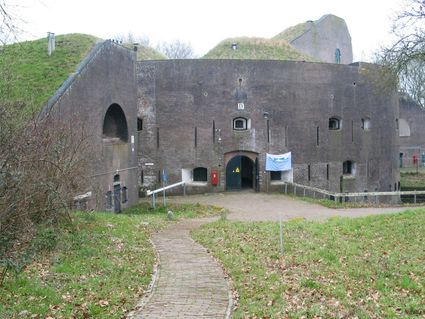
4121 KK Everdingen -
Buiten in de Kuil - Lage Vuursche
Buiten in de Kuil - Lage Vuursche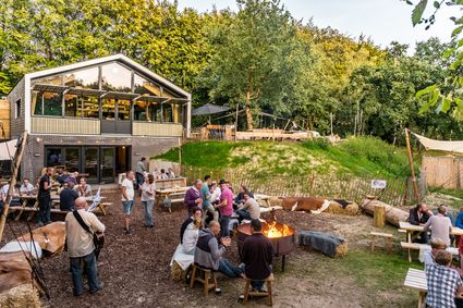
3749 AW Lage Vuursche -
Dagwinkel Aloys Hageman
Dagwinkel Aloys Hageman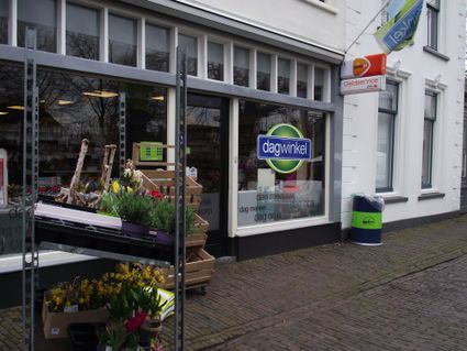
Voorstraat 15
3633 BB Vreeland -
TOP De Dennen
TOP De Dennen
3927AW Renswoude -
Museum Castle Amerongen
Museum Castle Amerongen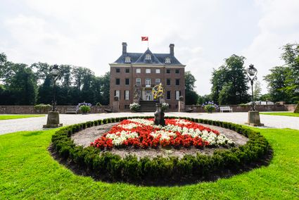
Drostestraat 20
3958 BK Amerongen -
Groene Entree & recreatie Doornse Gat
Groene Entree & recreatie Doornse Gat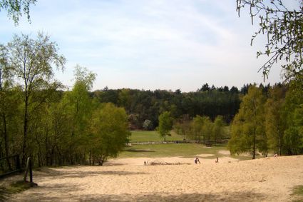
3941 MN DOORN -
Country Estate Bergse Bossen***
Country Estate Bergse Bossen***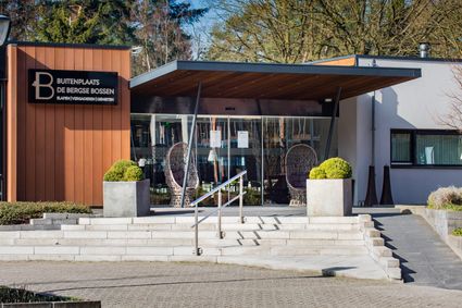
3971 GM Driebergen-Rijsenburg -
Recreatieboerderij De Kleine Weide
Recreatieboerderij De Kleine Weide
3927 CV Renswoude -
St. Joriskerk (Church)
St. Joriskerk (Church)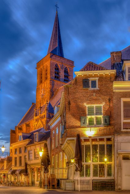
Hof 1
3811 CJ Amersfoort -
Bungalowpark 't Eekhoornnest
Bungalowpark 't Eekhoornnest
3768 HL Soest -
Grebbe Line Visitor's Centre
Grebbe Line Visitor's Centre
Buursteeg 2
3927EJ Renswoude -
The Zouweboezem nature reserve
The Zouweboezem nature reserve
An undiscovered gem, full of beautiful flora and fauna. This storage area was dug in the 14th century to collect the excess water between the polders. Now it is an oasis of peace in which grasslands, reed beds and water alternate. Have your camera ready, because the swamp fields are the home and breeding ground for many bird species. The purple heron, the marsh harrier and the china grouse, you can admire them all.
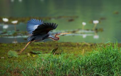
Boezemweg
Lexmond -
-
Beauforthuis
Beauforthuis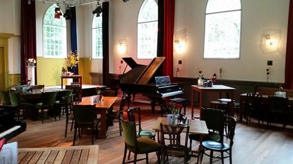
3711 AB Austerlitz -
Fort Maarsseveen
Fort Maarsseveen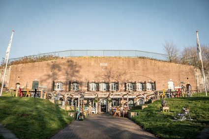
3602 AM Maarssen -
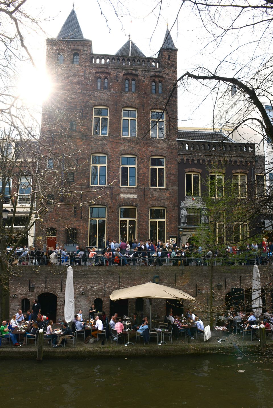
City castle Oudaen
City castle Oudaen
A monumental building from 1276 with its own brewery and a number of conference rooms, among other things.
In or around the year 1276, the Zoudenbalch family commissioned the construction of this so-called city castle. The building was entirely made of bricks, turning it into some kind of defence house. In 1395, the building got into the hands of the Oudaen family who named it after themselves. From 1758 until 1965 it was used as an old folks' home. After that, it was briefly in the possession of a student association. Since 1986, Oudaen is being used as a catering establishment.
3511 AE Utrecht -
-
Koppelpoort Amersfoort
Koppelpoort Amersfoort
3811 MG Amersfoort -
Soesterduinen Sand Dunes
Soesterduinen Sand Dunes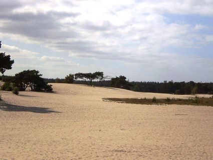
3786 MD Soest -
Veenendaal Town Beach
Veenendaal Town Beach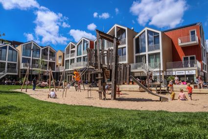
3901 Veenendaal -
Visitor Centre De Boswerf
Visitor Centre De Boswerf
3708 BR Zeist -
Museum Bunker Leusden
Museum Bunker Leusden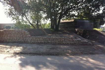
3831 RZ Leusden -
Mill "Den Olden Florus"
Mill "Den Olden Florus"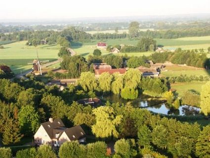
3784 VE Terschuur -
Fort Uitermeer
Fort Uitermeer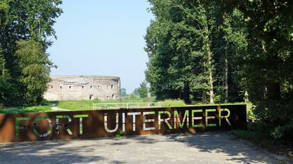
Uitermeer
1381 HP Weesp -
TOP Maarsseveense Plassen
TOP Maarsseveense Plassen
3602 AN Maarssen