odp
265 to 288 of 294 locations
-
Renswoude Castle
Renswoude Castle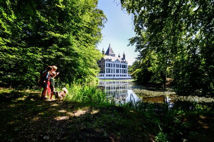
3927BA Renswoude -
Museum Catharijneconvent
Museum Catharijneconvent
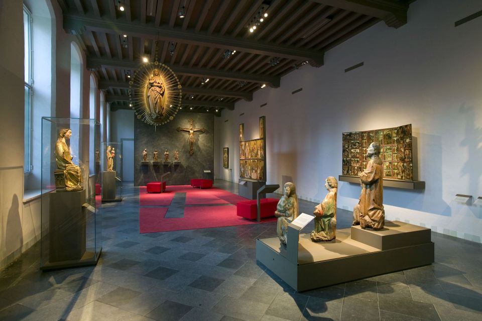
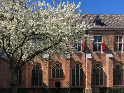
Museum Catharijneconvent shows the history of Christianity in the Netherlands through centuries-old art as well as contemporary art.
Paintings by Rembrandt, Pieter Saenredam and Jan van Scorel, relics, video art by Guido van der Werve and others, sculptures of saints, ancient manuscripts, a huge stained glass window by Marc Mulders and all there is to know about holidays such as Christmas, Easter and St Nicholas. This and more is on display in the Catharijneconvent Museum in a magnificent medieval convent. This oasis of art and culture is located in the centre and in walking distance from the Dom. The Catharijneconvent Museum tells the fascinating story of the past and present of Christianity in the Netherlands. With a collection consisting of Protestant and Catholic art and cultural objects, there is no other museum like this in the entire world.
Lange Nieuwstraat 38
3512 PH Utrecht -
-
Keuris distillery
Keuris distillery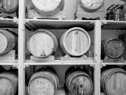
3449 HJ Woerden -
Fort Werk aan de Groeneweg
Fort Werk aan de Groeneweg
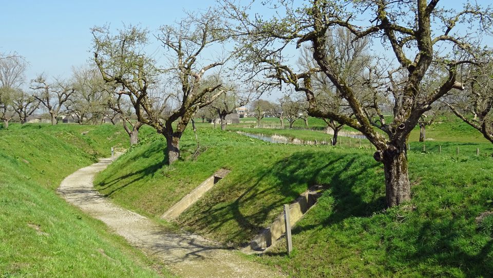
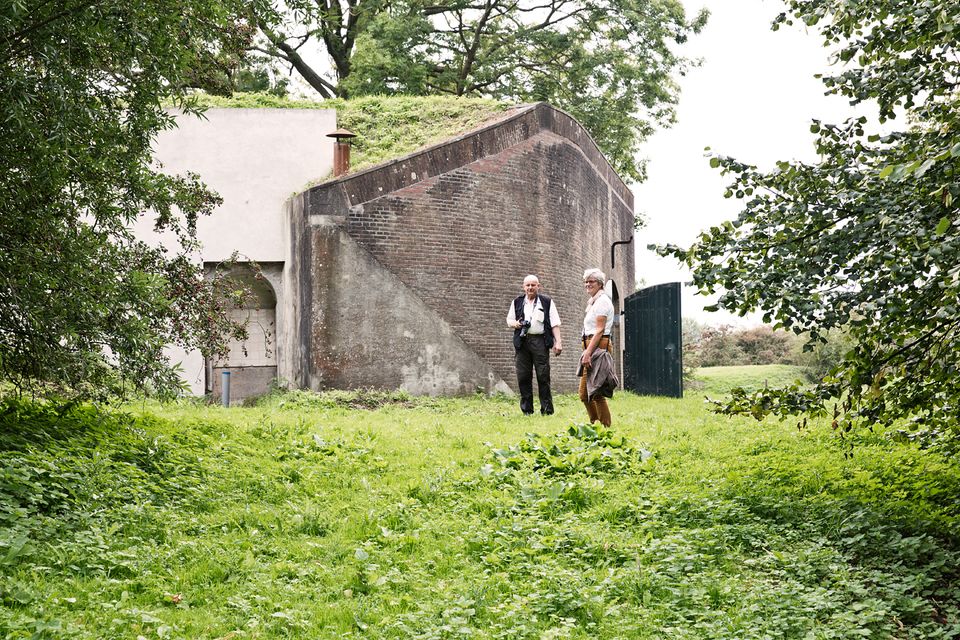
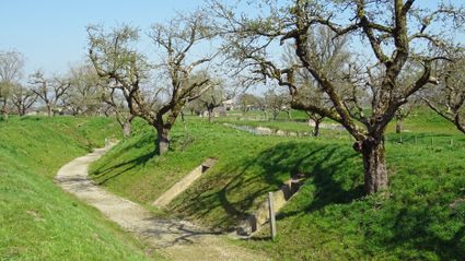
Walking through the historic trenches of Werk aan de Groeneweg is like a walk back in time. The defence structure still has its original configuration. The infantry set-up in World War One consisted of a double trench with earthen walls, 55 group shelters and lovely fruit trees.
The grounds are a fantastic playground for children. You can have a great time here roaming around, crawling through a trench, playing hide and seek and participating in an exciting search and experience walk of about 2 km, with soldier Vendrik as your guide.
3998 Schalkwijk -
-
Fort de Gagel
Fort de Gagel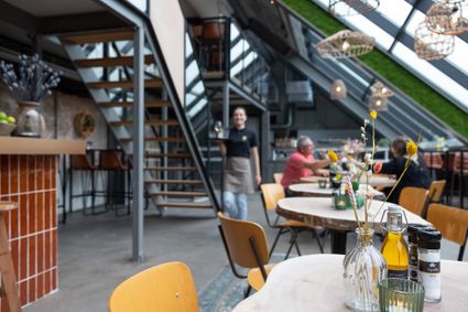
3566 MJ Utrecht -
Noorderpark Ruigenhoek
Noorderpark Ruigenhoek
Utrecht -
TOP De Kuil van Drakensteyn
TOP De Kuil van Drakensteyn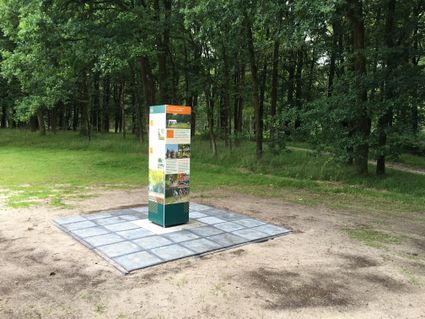
3749 AW Lage Vuursche -
Centraal Museum
Centraal Museum
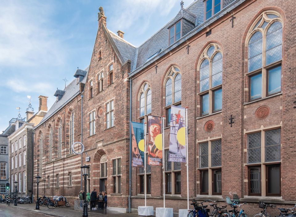
The Centraal Museum is your gateway to art and culture from the world of Utrecht. From Rietveld to the Utrecht Caravaggists, from Dick Bruna to Moesman and from Viktor & Rolf to the centuries-old Utrecht ship. A museum which leaves you inspired time after time. The museum has been housed in this medieval cloister on the Nicolaaskerkhof since 1921 and currently consists of an eclectic collection of buildings with a large courtyard at their centre. It’s a lovely place to wander through hallways and stairwells, and where you can be surprised by the various exhibitions.
Collection
The museum has the largest collection of Rietveld pieces in the world, and shows the work of the world-famous Dick Bruna. The collection of old art is also worthwhile with work from Jan van Scorel, Abraham Bloemaert and Hendrick ten Brugghen. Besides the work of those Dutch icons, the Centraal Museum provides a broad overview of 2.000 years turbulent history, is also the ‘present’ a central theme with current fashion, design and visual art are high on the agenda.Studio Dick Bruna
A special part of the Central Museum is the studio of Dick Bruna, one of the Netherlands’ most famous illustrators and graphic designers. For the last 30 years of his career, he worked at his studio in the centre of Utrecht daily. This was where he created his illustrations and stories, surrounded by personal memories, photos of memorable encounters, gifts from fans and letters from fellow artists.Online tickets
Skip the queue and order your tickets online. You will receive your ticket by email and showing it on your smartphone at the entrance of the museum is sufficient.
Agnietenstraat 1
3512 XA Utrecht -
-
TOP Winkelpolder, Vinkeveen
TOP Winkelpolder, Vinkeveen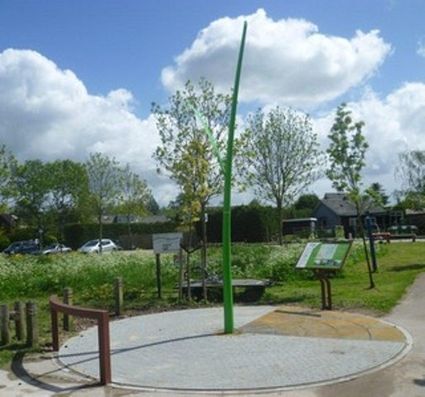
3645AP Vinkeveen -
Naarden Vesting
Naarden Vesting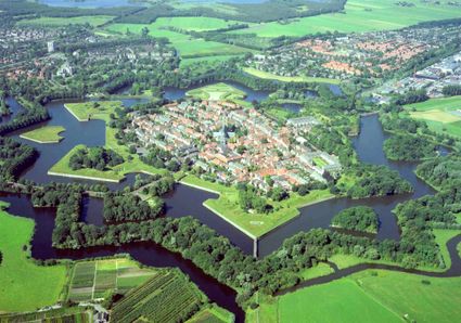
Ruijsdaelplein 10
1411 EA Naarden-Vesting -
Breukelen
Breukelen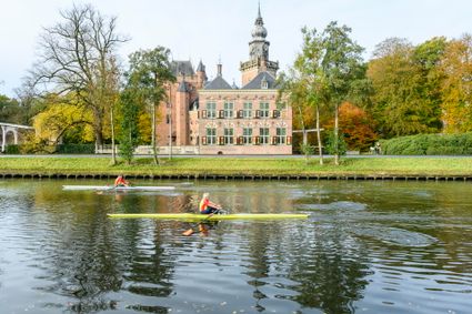
-
Utrecht Tourist Information 'Winkel van Utrecht'
Utrecht Tourist Information 'Winkel van Utrecht'
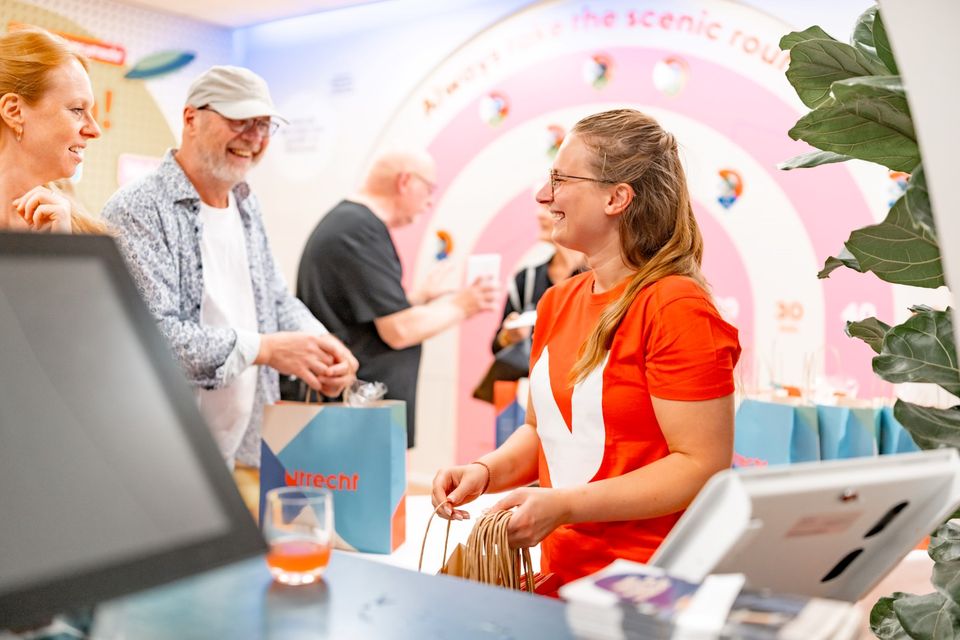
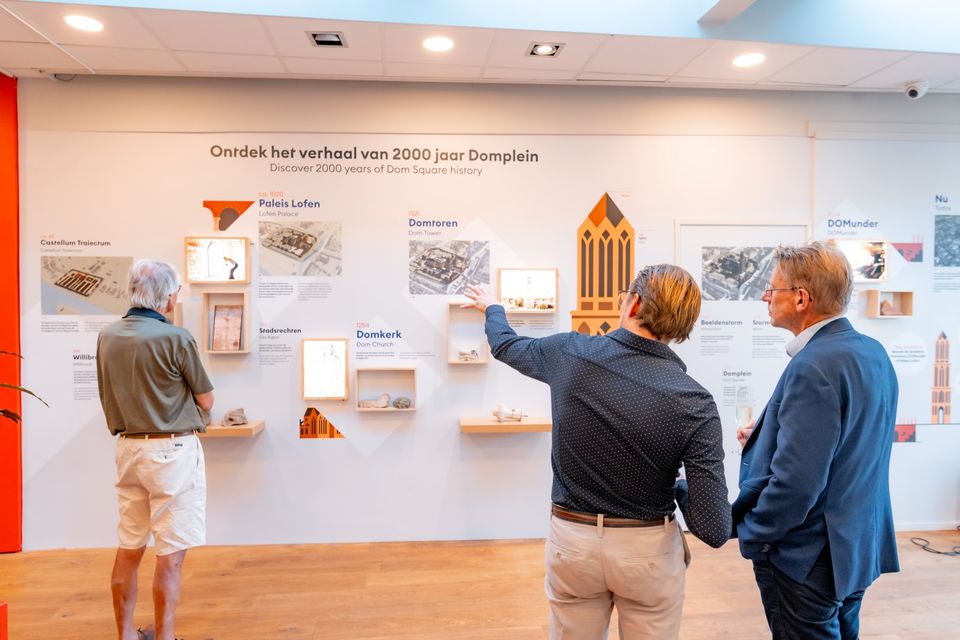
Located at the foot of the Dom Tower you will find the Utrecht Tourist Information Centre (VVV Utrecht). Make the most of your time in Utrecht by planning your trip with help from experts! Whether you’re searching for the best accommodation, exciting excursions in Utrecht or the region, the dedicated staff of VVV Utrecht can help you with a wonderful stay. They can also help you to book tickets, toursand information about public transport in and around Utrecht.
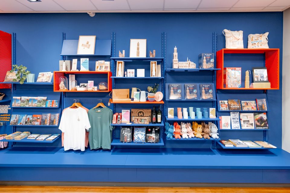
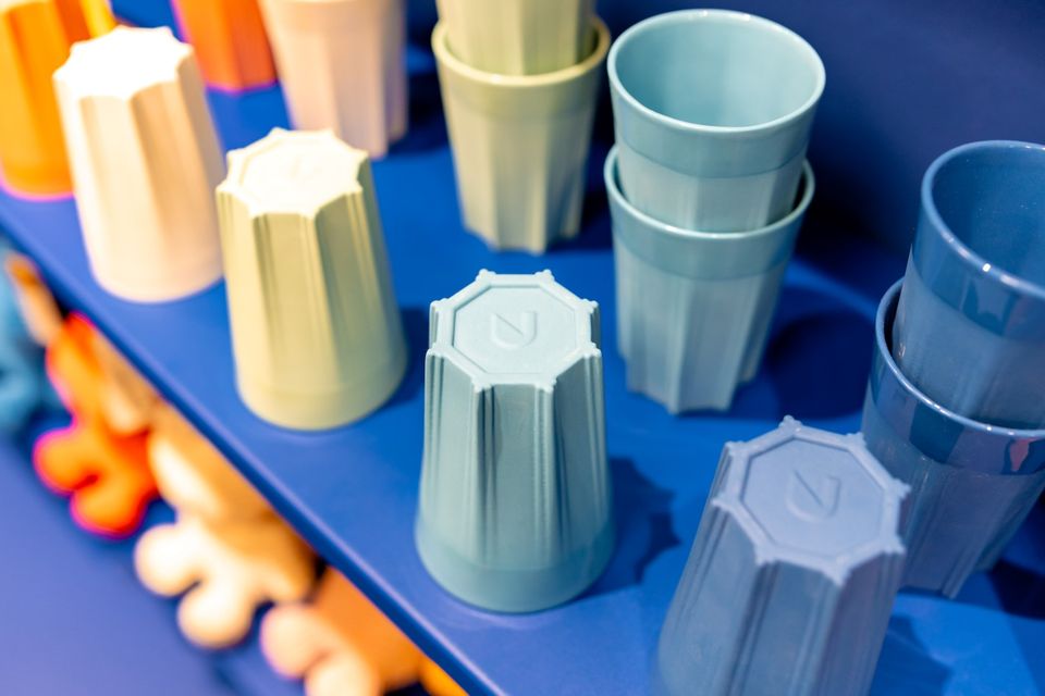
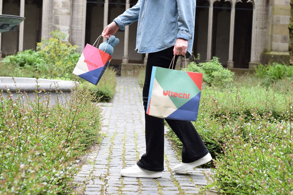
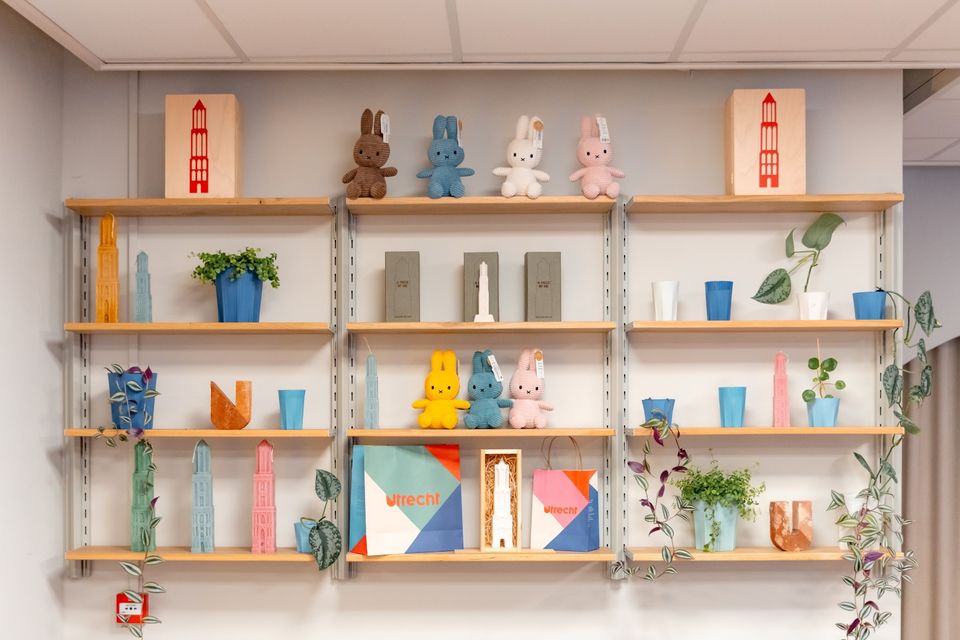
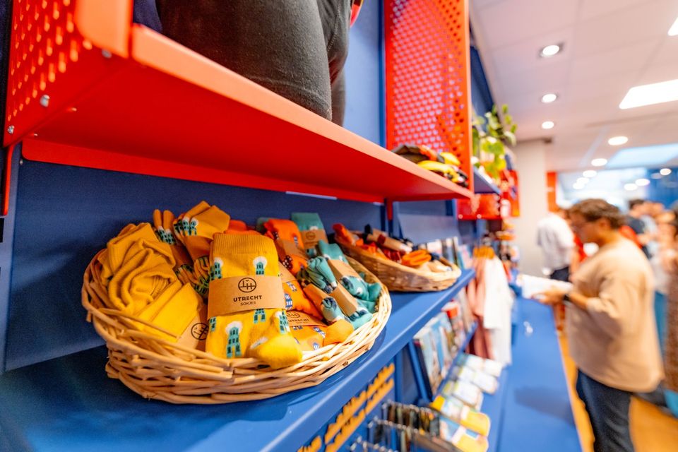
The Tourist Information Office is also the ultimate souvenir shop in Utrecht, with Holland souvenirs, typical Utrecht products and the largest selection of Miffy gifts in a special Miffy house available!
Go to the VVV Utrecht Information Centre for:
- Tourist information
- Dom Tower climbs
- Souvenirs
- Hotel bookings
- Gift vouchers
- Bicycle hire
- Walks and bicycle tours
- Guided tours
The information centre has free wireless Internet.
Public holidays:
Regular opening hours apply during public holidays, with the exception of Kings Day (27 April) during which the information centre will be closed.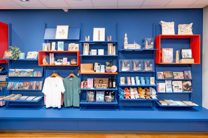
Domplein 9
3512JC Utrecht -
-
Heidestein Estate
Heidestein Estate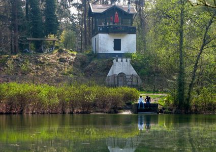
3708 WN Zeist -
TOP teahouse Monchouette
TOP teahouse Monchouette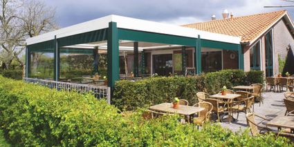
3831 JZ Leusden -
Fort at 't Hemeltje
Fort at 't Hemeltje
Fort 't Hemeltje dates from 1877-1881 and is the last built fort of the New Dutch Waterline. It defended a strip of land that could not be flooded and the 's-Hertogenbosch-Utrecht railway line. Nowadays, Fort bij 't Hemeltje is largely used as office space for various entrepreneurs who are active in the field of sustainability. The fort also offers shelter to (breeding) birds and bats.
There is a walking route around the fort and there is an exciting spy route with fun assignments for children. In addition, the fort is regularly open to the public, for example during Open Heritage Days.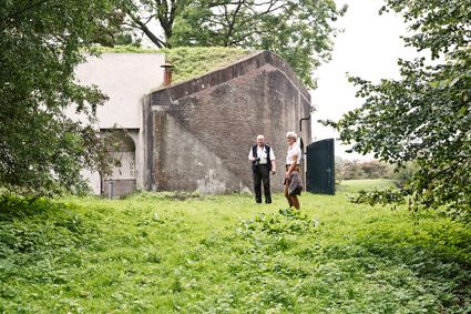
3992 LX Houten -
-
TOP Huis Doorn
TOP Huis Doorn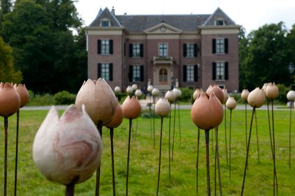
3941 MT Doorn -
National Military Museum
National Military Museum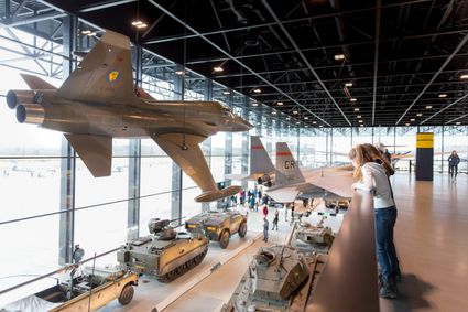
Verlengde Paltzerweg 1
3768 MX Soest -
Groene Entree & recreatie Doornse Gat
Groene Entree & recreatie Doornse Gat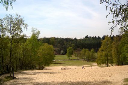
3941 MN DOORN -
The Amersfoort Boulder
The Amersfoort Boulder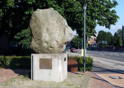
3800 Amersfoort -
Grachten Galerie
Grachten Galerie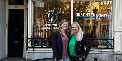
3511 NE Utrecht -
TOP Schloss Soestdijk
TOP Schloss Soestdijk
3744 AA Baarn -
Tourist Information Point Leerdam
Tourist Information Point Leerdam
Leerdam, who has not heard about this beautiful city? Since 1765 the Glasscapital of the Netherlands and the whole world eats our Leerdammer Cheese. If you're looking for culture, good food, sailing, shopping, walking or cycling? The city center of Leerdam has it all!
Are you looking for information about Leerdam, tips and ideas, bicycle or walking routes? Come visit us in the Tourist Information Office in Leerdam. We are happy to help you find your way around Leerdam.
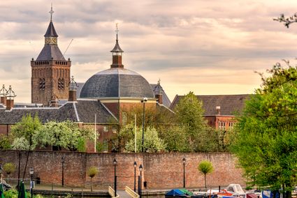
4141 AV Leerdam -
-
Groene Entree Hoogstraat
Groene Entree Hoogstraat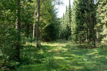
3941 MN DOORN -
Groene Entree Kaapse Bossen
Groene Entree Kaapse Bossen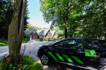
3941 MN DOORN